Cameroon: Regions, Cities & Travel Guide
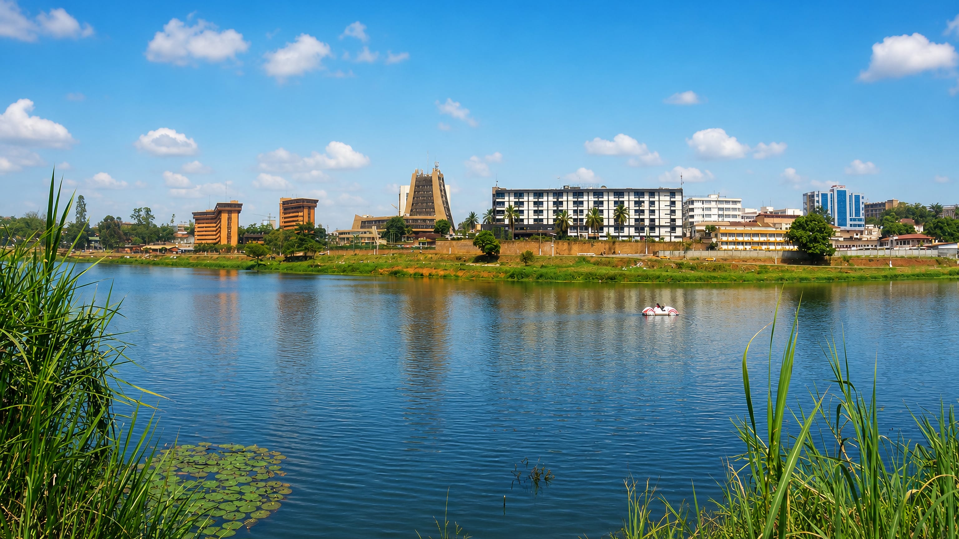
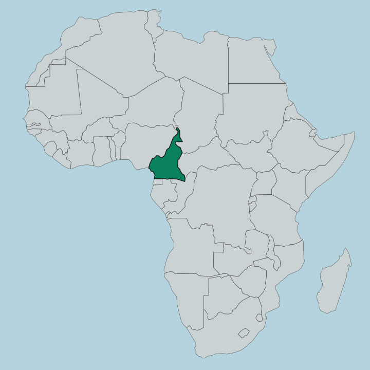
Cameroon is a country in Central Africa where rainforest, savanna, and the active volcano of Mount Cameroon meet, with Yaoundé as its capital.
Hotel links are affiliate links: booking through them may earn us a commission, at no extra cost to you. It never affects how places are ranked. How this works


Top destinations in Cameroon
Cities to start from, then drill into areas and hotels.
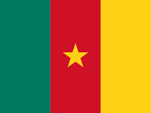 Cameroon
Yaoundé
Built across seven hills, Yaoundé is the capital of Cameroon, a highland city in the Centre Region known for its museums and government quarters.Where to stay →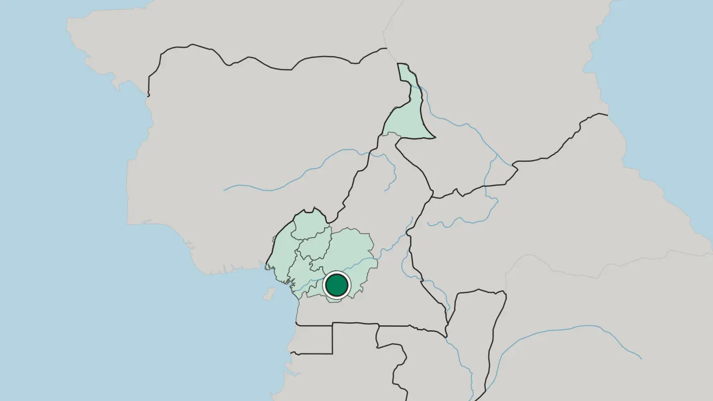
 Cameroon
Douala
Douala is the largest city of Cameroon on the Wouri estuary, the country's economic capital and chief port, a hot river city below Mount Cameroon.Where to stay →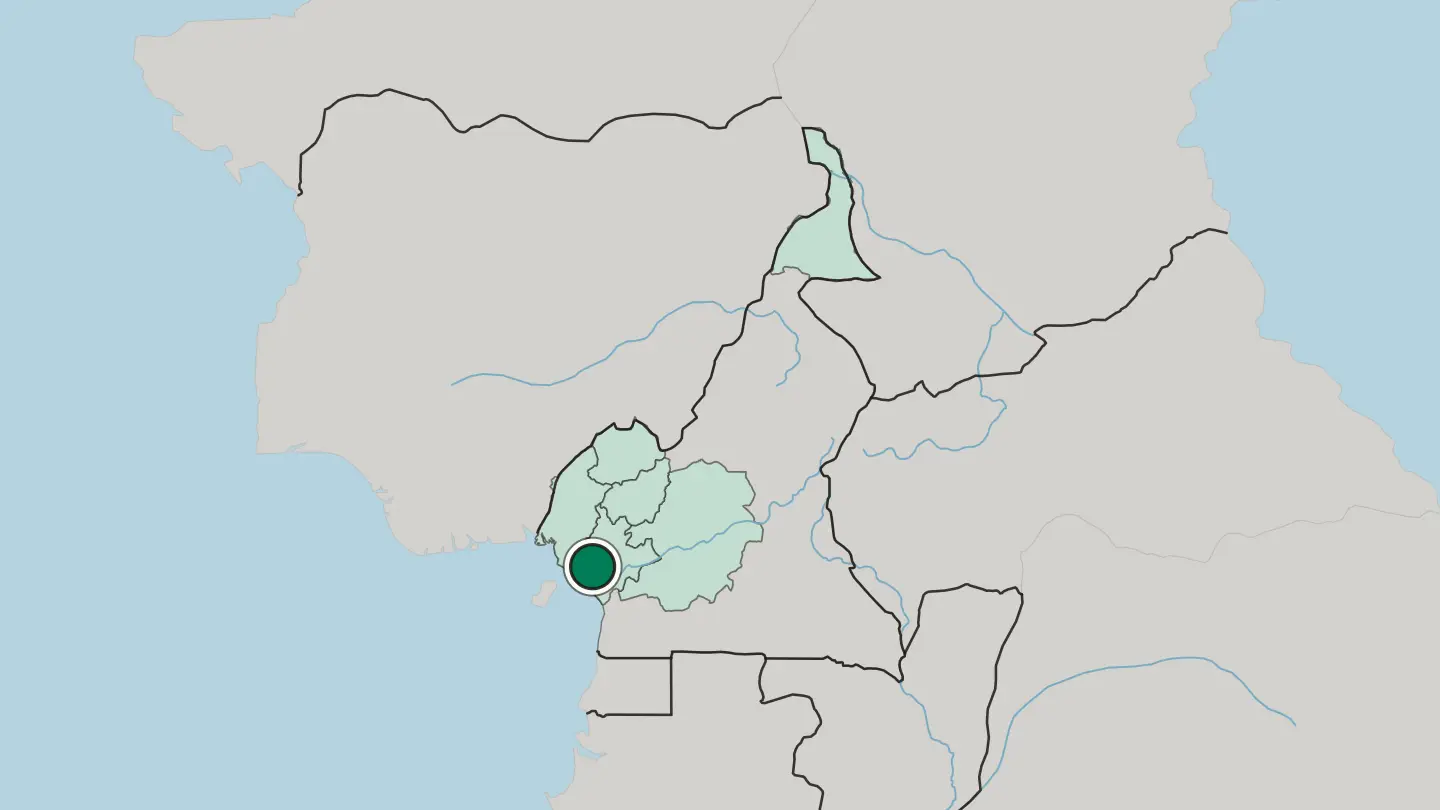
 Cameroon
Bamenda
Bamenda, also called Abakwa and Mankon Town, is the capital of Cameroon's Northwest Region, a hill city set in the Northwest Highlands.Where to stay →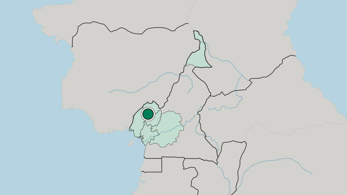
 Cameroon
Buea
Buea sits on the eastern slopes of Mount Cameroon, capital of the Southwest Region and once the seat of German Cameroon.Where to stay →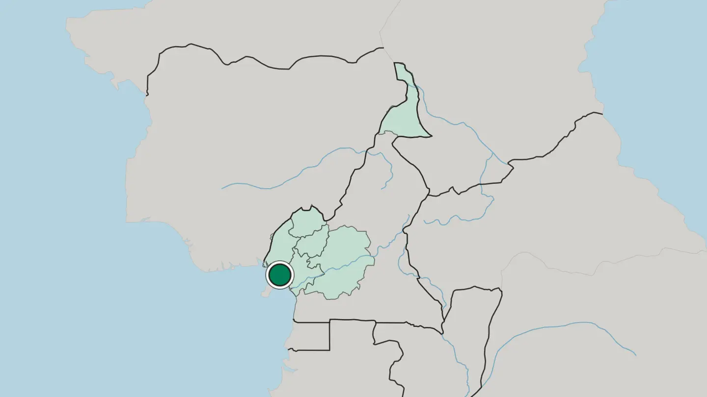
 Cameroon
Maroua
Maroua stretches along the Ferngo and the Kaliao in the foothills of the Mandara Mountains, capital of Cameroon's Far North Region.Where to stay →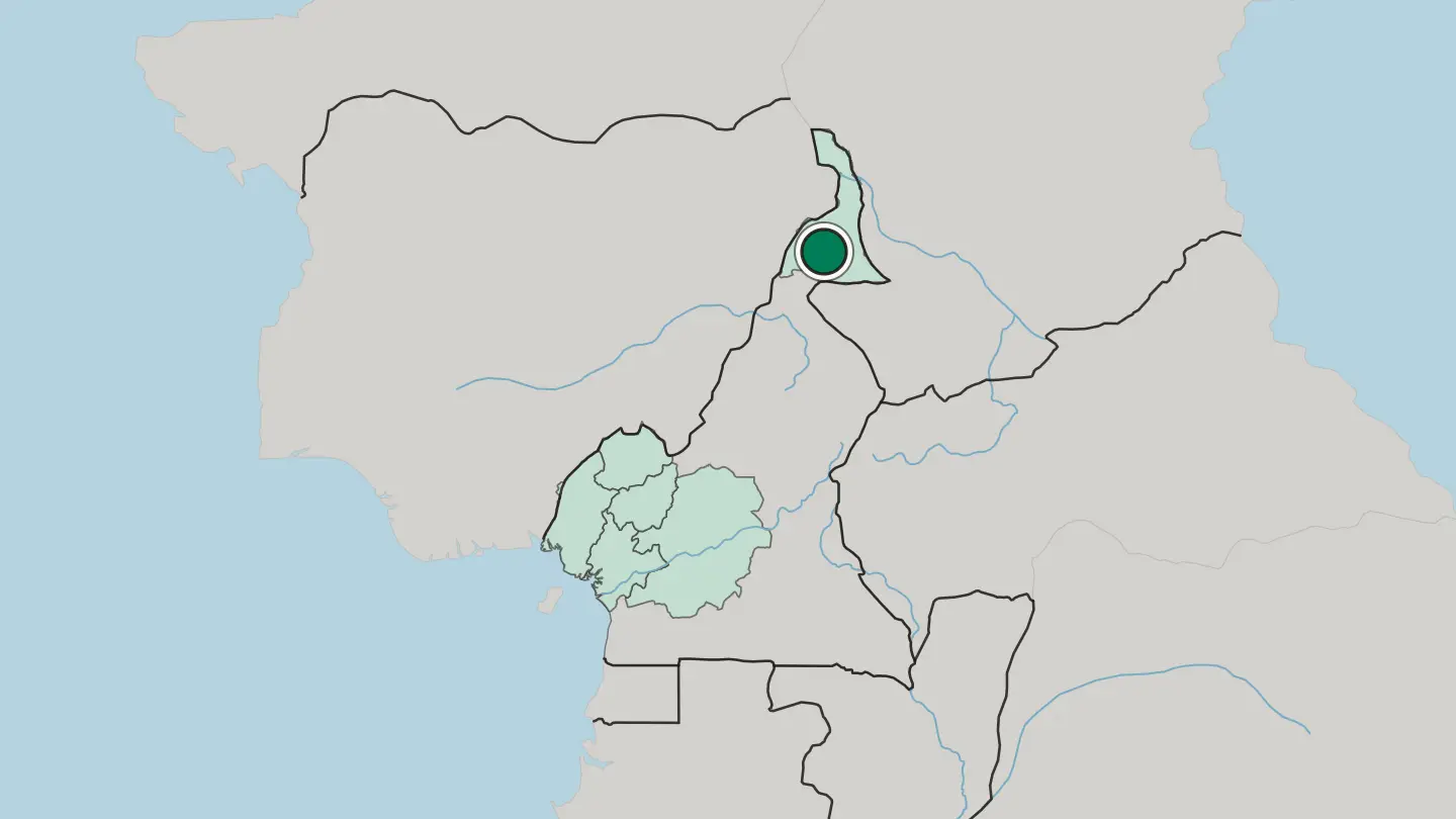
 Cameroon
Bafoussam
Bafoussam is a highland city of western Cameroon, the chief town of the Bamileke grassfields, a cool market city of chiefdoms and coffee.Where to stay →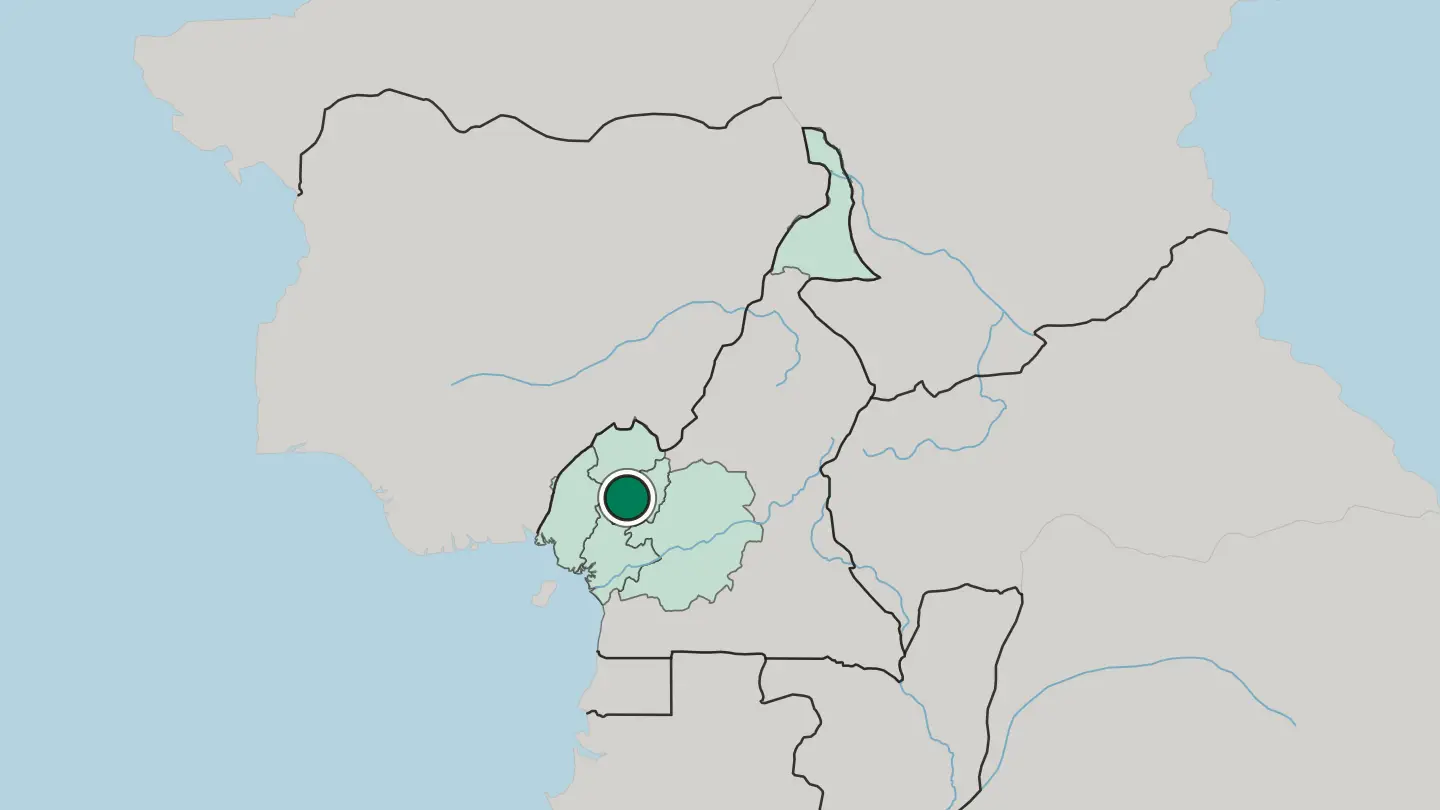
Hotel links are affiliate links: booking through them may earn us a commission, at no extra cost to you. It never affects how places are ranked. How this works
Regions of Cameroon
Cameroon
Centre Region
The Centre Region spreads across the tropical interior of Cameroon, an inland administrative region built around the capital city of Yaoundé.Towns & cities →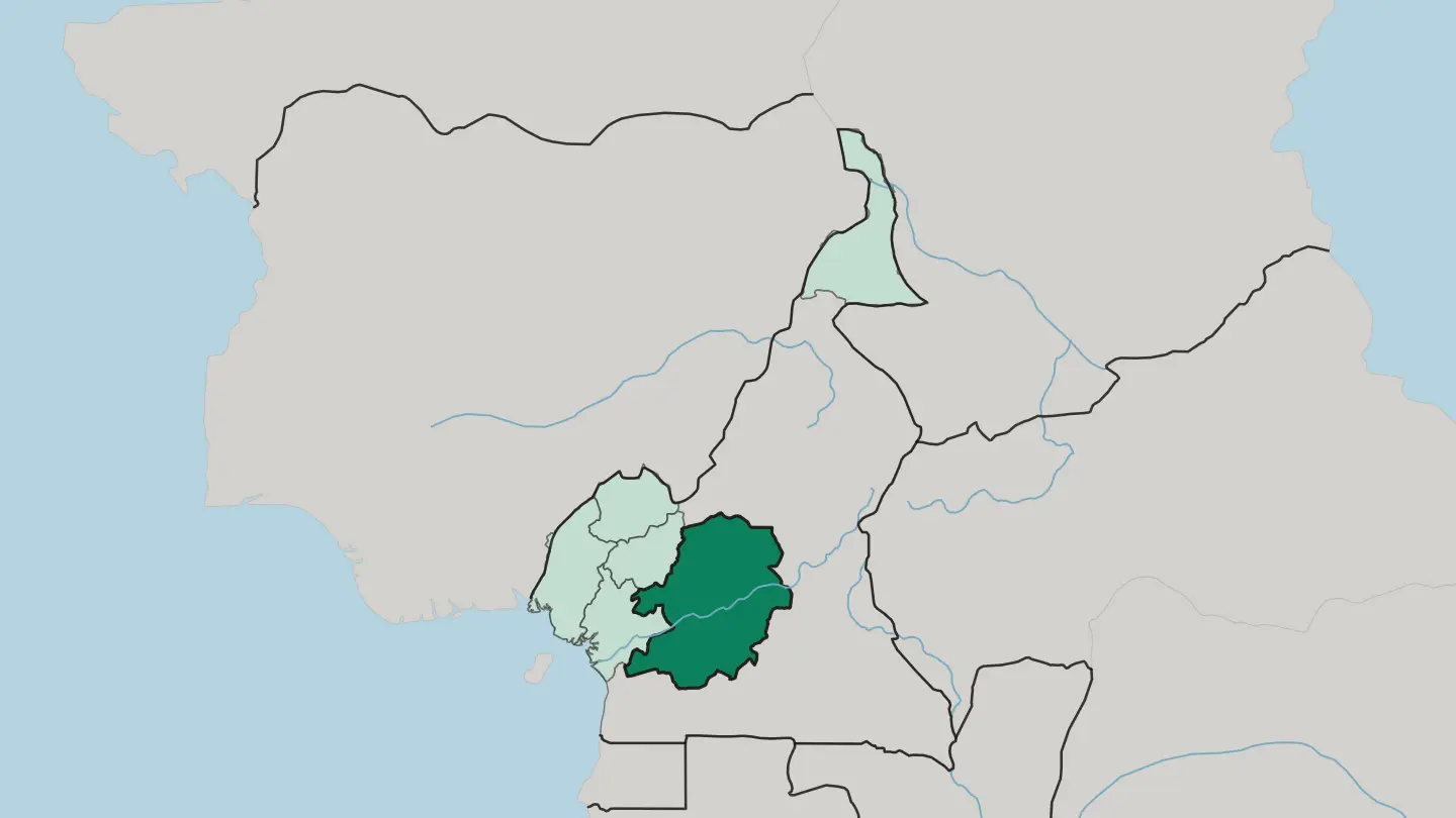 Cameroon
Far North Region
The Far North Region is the northernmost constituent province of Cameroon, bordering Chad and Nigeria, with Maroua as its capital.Towns & cities →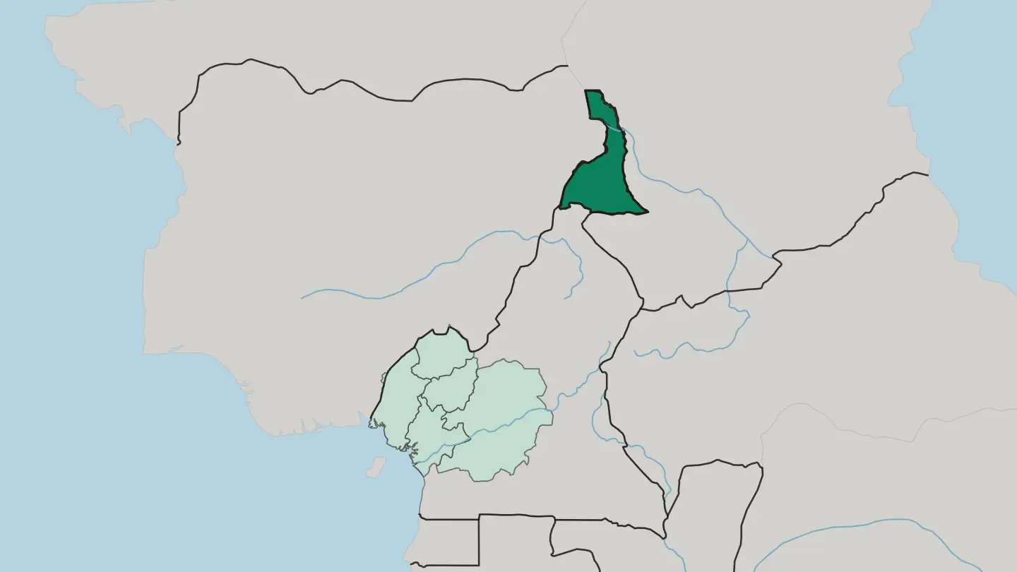 Cameroon
Littoral Region
The Littoral Region takes its name from the coast, a region of Cameroon administered from Douala.Towns & cities →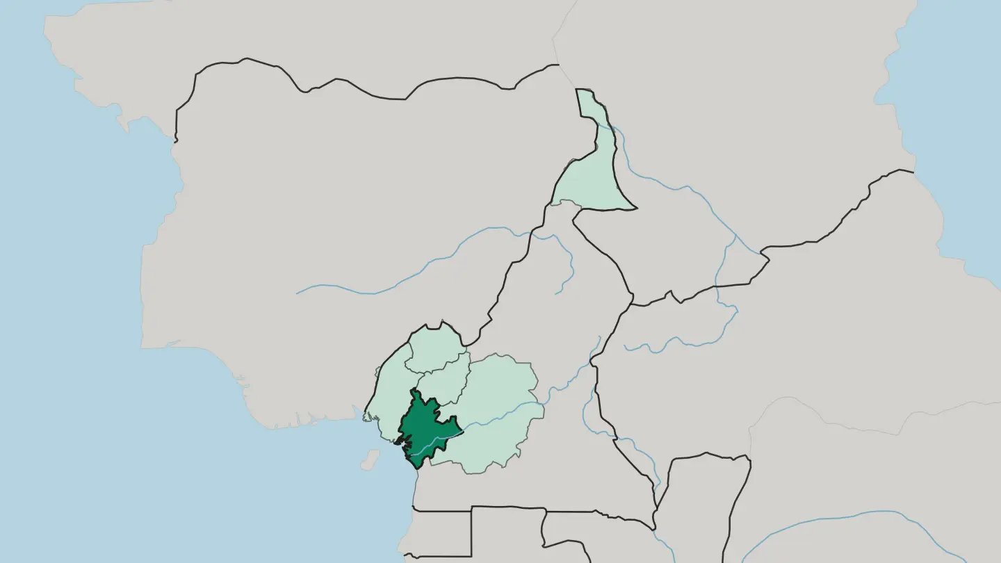 Cameroon
North-West Region
The North-West Region is a region with special status in Cameroon, set in the western highlands, with Bamenda as its capital.Towns & cities →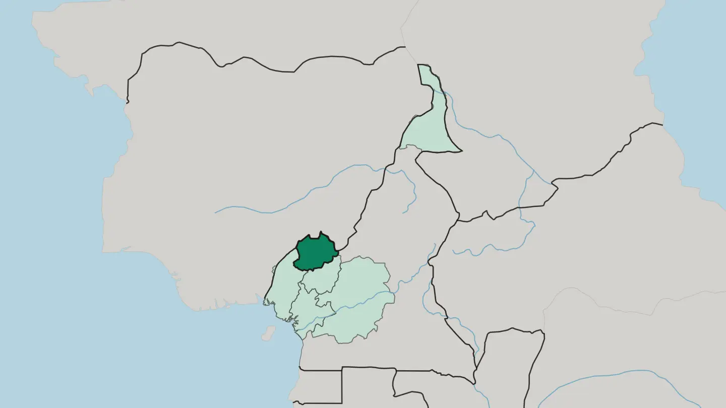 Cameroon
South-West Region
The South-West Region is a region with special status in Cameroon, one of its two Anglophone regions, administered from Buea.Towns & cities →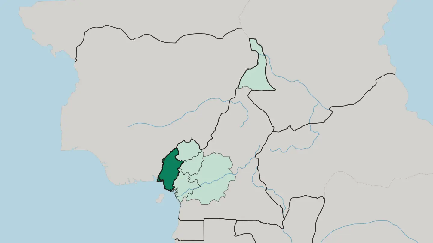 Cameroon
West Region
West Region is the smallest of Cameroon's ten regions in area, hemmed in by the Northwest, Adamawa, Centre, Littoral and Southwest Regions.Towns & cities →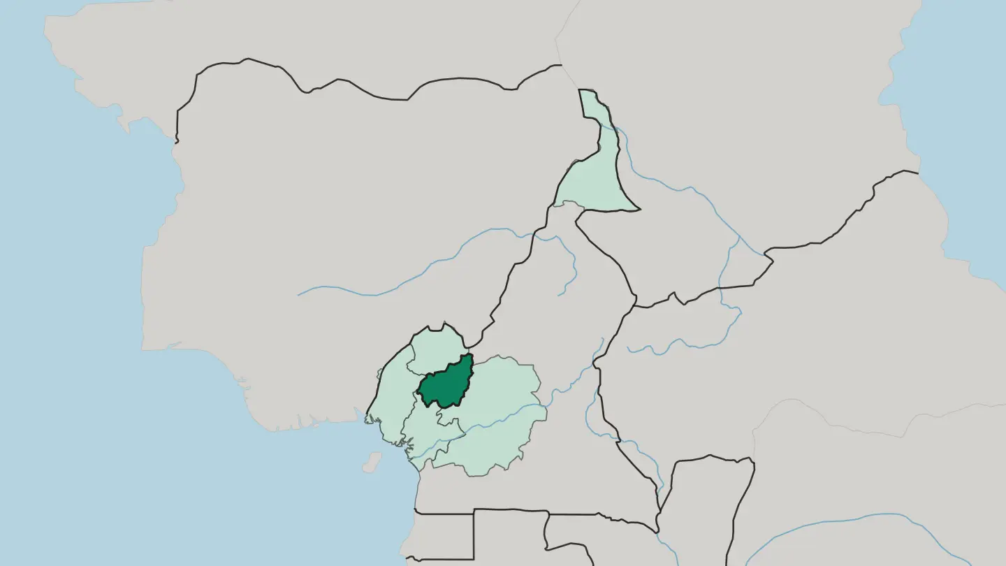
About Cameroon
What is Cameroon known for?
People call Cameroon "Africa in miniature", and the terrain earns it. The volcanic bulk of Mount Cameroon rises straight from the Atlantic coast near Limbe, while Kribi's beaches run south to the point where the Lobé River spills into the ocean over a waterfall. Inland, Yaoundé sits on its ring of hills and Douala works the Wouri estuary as the country's port.
Some 250 languages are spoken across its ten regions. That single fact tells you most of the story.
Where is Cameroon?
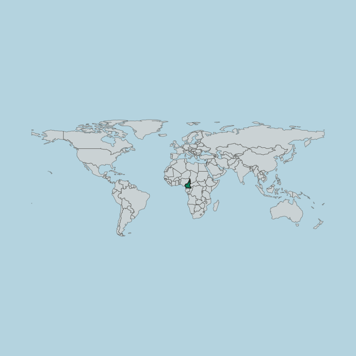
Cameroon fills a wedge of Central Africa between the Gulf of Guinea and Lake Chad, and its range of landscapes has earned it the name Africa in miniature. The coastline opens on the Bight of Biafra, where the volcanic mass of Mount Cameroon climbs to Cameroon's highest point straight out of the sea near Limbe. Behind the shore, equatorial rainforest carpets the low southern plateau, drained toward the Atlantic by the Sanaga.
Flat ground never lasts. Away from the forest the land rises to the grassy Adamawa Plateau, a rugged east-to-west barrier that divides the humid south from the drier north and averages around a thousand metres. Beyond it the country tips down toward the Sahel.
The plains around Waza, in the far north, run out to the shrinking shore of Lake Chad, and here the rainforest of the south gives way entirely to open savanna and thorn. In the west, a chain of volcanic highlands and crater lakes forms the fertile grassfields, cooler and greener than the coast. From beach to volcano to savanna in a single country, the range is the point.
What is the history of Cameroon?
Cameroon carries the marks of three colonial powers, and the split still shapes the map. Portuguese sailors named the Wouri estuary the Rio dos Camarões, the river of prawns, and that word for shrimp eventually became the name of the whole country. Germany claimed the territory as Kamerun in 1884 and ran it until the First World War.
After Germany's defeat the League of Nations handed most of the land to France and a slice in the west to Britain, and that partition drew the line between a French-speaking majority and an English-speaking minority that endures to this day. Independence came in stages. French Cameroun became sovereign on the first day of 1960, and the following year the southern British-held zone voted to join it while the north chose Nigeria instead.
The two halves were fused into a single state, a reunification of lands that had all once been German Kamerun. Ahmadou Ahidjo took the presidency and held it for more than two decades. The colonial border never fully healed.
The tension between anglophone and francophone Cameroon, written into the country at its founding, remains its defining political fact.
What is Cameroon like?
With more than 250 ethnic groups, Cameroon is less one culture than a working federation of many. In the western grassfields the Bamileke run a lattice of small chiefdoms known for carved thrones, beaded masks, and elephant dance regalia. The Fulani brought Islam and cattle down the northern plains in the nineteenth century, and their emirates still order life across the Sahel edge of the country.
Between them sit the forest peoples of the south and the Duala of the coast. Food carries the mix. Ndolé is the national dish and it simmers bitterleaf with peanuts and either meat or shrimp.
Music travels far. Makossa, the funky coastal dance sound, went global when Manu Dibango cut "Soul Makossa", and its bassline was borrowed by pop records worldwide. English and French are both official.
Two colonial tongues, hundreds of mother ones, one loud and various country.
What is the climate of Cameroon?
Cameroon's weather tracks its terrain. The coast around Limbe and Douala is equatorial, hot and soaked. Move inland and up onto the Adamawa Plateau and the air cools, with a clear dry season from about November to April.
The far north, out toward Lake Chad, turns semi-arid and fierce, baking through a long dry spell before short summer rains. One flag, several climates.
How do you get to Cameroon?
Most travellers arrive by air into Douala, whose international airport sits close to the coast and the port. Yaoundé, the capital, also takes flights and opens the centre. Getting between regions is the real work.
Only a small fraction of Cameroon's roads are paved, so intercity coaches and the Camrail line linking Douala to the north do much of the heavy lifting across long distances. Plan the internal legs first. Distances here are national.
Good for
Updated October 2026