Germany · Nordrhein-Westfalen · Duisburg
Hochfeld, Duisburg — Area Guide & Where to Stay
Hochfeld is a Stadtteil of the Duisburg Stadtbezirk Mitte on the right bank of the Rhine, named for high ground that stayed clear of the river's floods.
Hotel links are affiliate links: booking through them may earn us a commission, at no extra cost to you. It never affects how places are ranked. How this works


Map data © OpenStreetMap contributors
Where to stay in Hochfeld
Where visitors usually base themselves, and why.
One street carries the trade. Wanheimer Straße is the main shopping street of Hochfeld and tram line 903 of the Duisburger Verkehrsgesellschaft runs along it, which makes it the axis everything else hangs off. Water and rail set the edges.
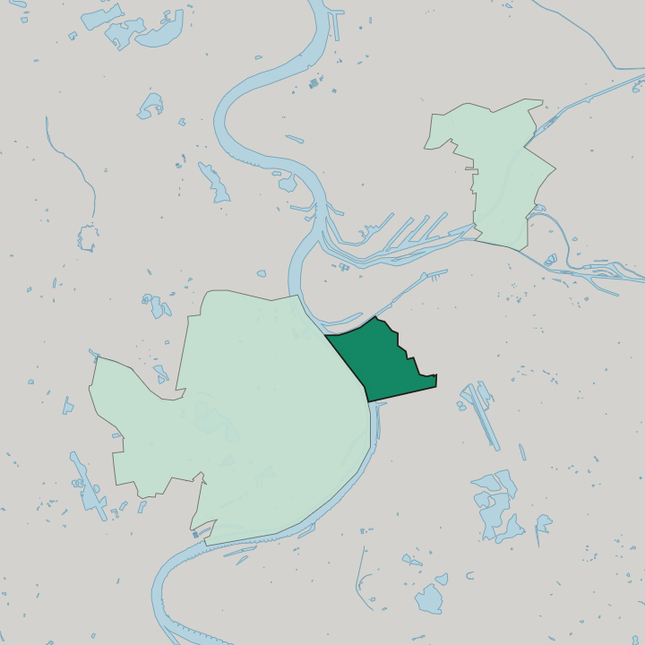
Rhine closes the quarter on the west, the Duisburg to Mönchengladbach railway on the south and the Dellviertel on the east, with the Rheinhausen Stadtbezirk directly across the water. Duisburg's Altstadt lies just northeast.
About Hochfeld
What are the main landmarks in Hochfeld?
A ferry once crossed here. The Werthauser Fähre ran over to Werthausen and is attested from the Middle Ages, and the Werthauser Straße still carries the name. Older still is what stood outside the gate.
A Siechenhaus for lepers stood a little in front of the Marientor, close by the gallows, in what was then dense woodland southwest of Duisburg. Street names keep the field names. Eigenstraße and Valenkamp among others record what the ground was called before the city built over it, and the Rheinkanal finished by 1832 is the Außenhafen now.
What is the history of Hochfeld?
Debt cleared the woods. Driven deep into debt by the Thirty Years War in the middle of the 17th century, Duisburg felled the woodland southwest of the town, sold the timber and brought the cleared land into cultivation. Its name says why it was useful.
People called it the high field because, though it lies directly on the Rhine, its height kept it clear of the notorious floods. Two pieces of engineering made it industrial. The Rheinkanal, now the Außenhafen, was finished by 1832, and the Köln-Mindener Eisenbahn-Gesellschaft connected Duisburg to the growing rail network in 1848 and 1849.
Industry took the riverbank. Steel producers and processors, their suppliers and chemical works settled on the Hochfeld because the Rhine carried goods, supplied water free and took the waste away, and workers' housing went up beside them. Nothing was planned.
There was no proper development plan, so building went up piecemeal, a workers' colony here and a few houses there, sometimes on streets and sometimes in the middle of a field, often right against the works themselves.
Where is Hochfeld?
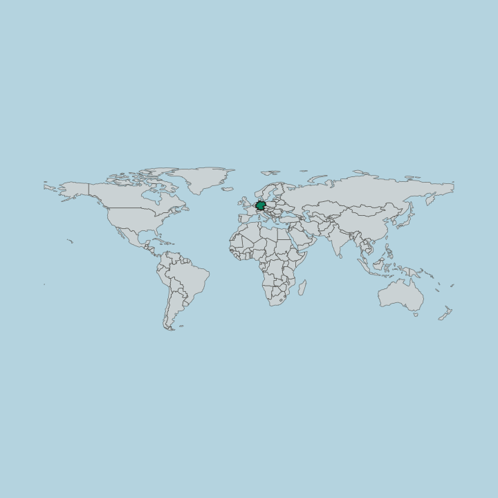
Hochfeld lies southwest of the Duisburg Altstadt on the right bank of the Rhine, bounded by the river on the west, the Duisburg to Mönchengladbach railway on the south and the Dellviertel on the east, with Rheinhausen on the far bank.
Good for
More areas in Duisburg
Updated September 2026