Germany · Nordrhein-Westfalen · Wuppertal
Lichtenplatz, Wuppertal — Area Guide & Where to Stay
Lichtenplatz is one of ten quarters of Wuppertal's Barmen Stadtbezirk, holding Lichtscheid, the city's highest point, and once written Hochbarmen.
Hotel links are affiliate links: booking through them may earn us a commission, at no extra cost to you. It never affects how places are ranked. How this works


Where to stay in Lichtenplatz
The practical side of choosing where to sleep.
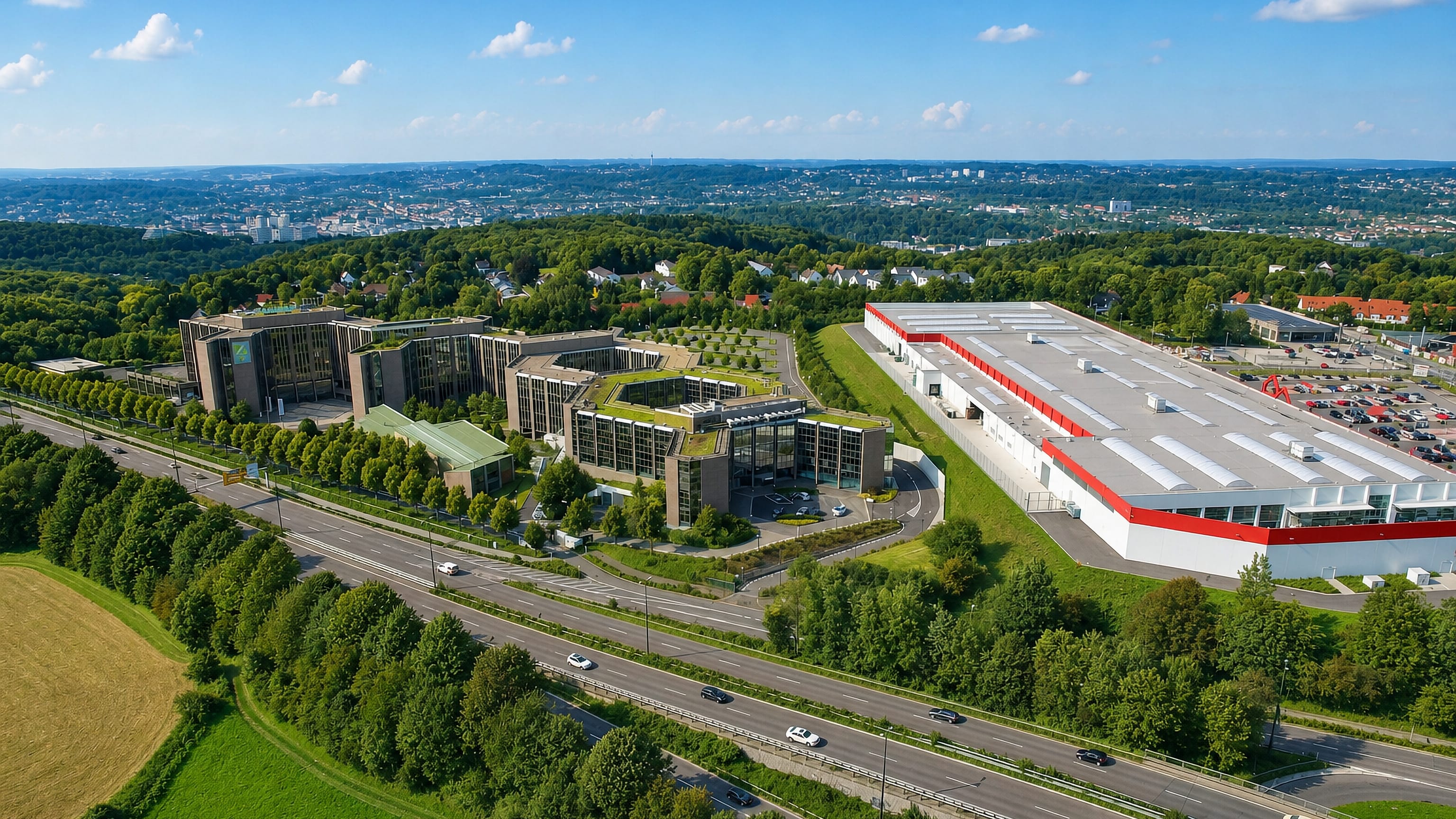
Height is what defines it. Lichtscheid reaches 350 metres above sea level and is the highest ground in Wuppertal, which is why older literature called the quarter Hochbarmen, and the woods of the Kothener Busch and the Christbusch separate it from the town centre down in the valley. Building here is loose.
Mostly one and two family houses, with a few terraces of apartment blocks along the main roads and a villa quarter by the Toelleturm next to the Vorwerkpark. The water tower at Lichtscheid is the landmark.
About Lichtenplatz
What are the main landmarks in Lichtenplatz?
One tower stands over the whole quarter. Der Lichtscheider Wasserturm is the most conspicuous building in Lichtenplatz, and the Toelleturm gives its name to the villa quarter beside the Vorwerkpark. Four brooks run through.
Murmelbach, Auer, Kothener and Bendahler Bach are the watercourses that matter here, cutting the southern heights the quarter sits on. Woods make the boundary on two sides. Kothener Busch and Christbusch separate it from the valley, and the former Scharpenacken training ground lies along the southern and eastern edge toward Ronsdorf and Heckinghausen.
What is the history of Lichtenplatz?
Farms on Lichtscheid come first. A Beyenburg office account of 1466 names three of them, Wilhelms Lichtenscheid, Peters Lichtenscheid and Gockelsheid, along with the cottage Schafferts Kothe, and Capell stood in the present quarter at the same time. Neighbouring Buer belonged to a monastery.
It existed then too but lies in Ronsdorf-Mitte now, it owed dues to the Kloster Steinhaus in the Middle Ages, and a former chapel for the monastery's tenants is suspected at neighbouring Kapellen. Maps carry the name from 1715. Erich Philipp Ploennies records the place as grauleitschütt in the Topographia Ducatus Montani that year, and Carl Friedrich von Wiebeking's Charte des Herzogthum Berg names it Lichtenplatz for the first time in 1789.
It was a hamlet by 1832. The Düsseldorf district statistics of that year class it as a Weiler with fifty-five dwelling houses and twenty-five farm buildings, which is the shape it kept until Wuppertal grew up the hill to it.
Where is Lichtenplatz?
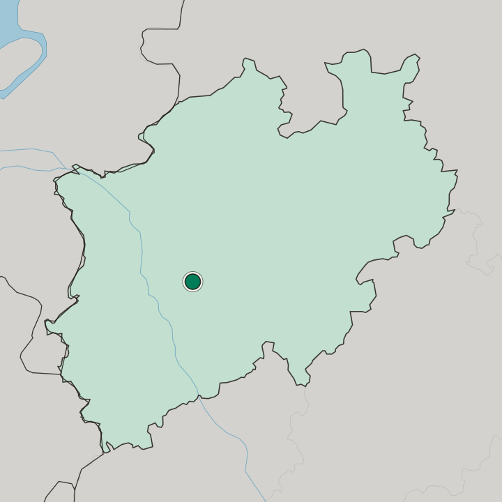
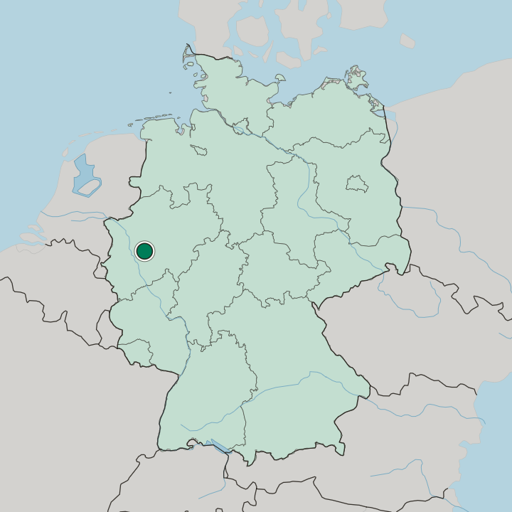
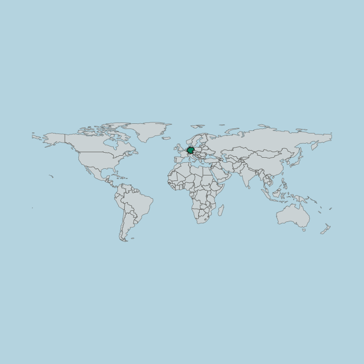
Lichtenplatz covers 3.42 square kilometres on the Wuppertal southern heights, separated from the valley by the Kothener Busch and the Christbusch, bordering Ronsdorf and Heckinghausen along the Scharpenacken and Elberfeld to the west.
More areas in Wuppertal
Updated September 2026