Spain · Comunidad de Madrid · Madrid
Portazgo, Madrid — Area Guide & Where to Stay
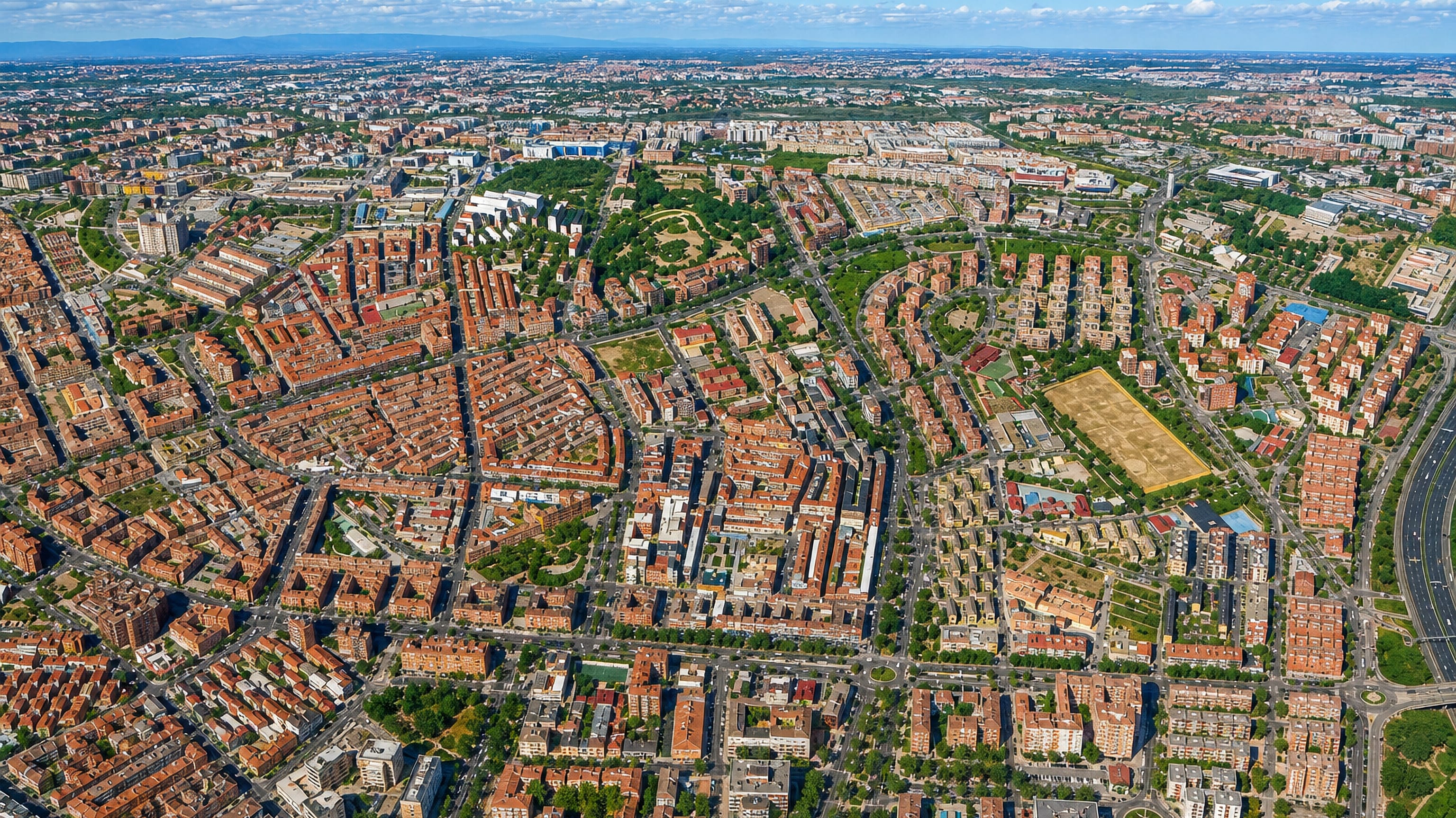
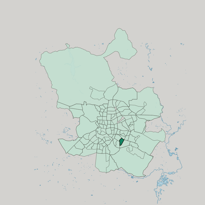
Portazgo is an administrative barrio in the north of Madrid's Puente de Vallecas district, between the A-3 and the avenida de Buenos Aires.
Hotel links are affiliate links: booking through them may earn us a commission, at no extra cost to you. It never affects how places are ranked. How this works


Map data © OpenStreetMap contributors
Where to stay in Portazgo
Where visitors usually base themselves, and why.
Base yourself in Portazgo for metro line 1. Its Buenos Aires and Alto del Arenal stations lie under the avenida de la Albufera, at the west and east ends of the barrio, and the line also runs to Atocha for Cercanías trains, as do EMT buses 54, 57 and 141. Despite the name, Portazgo metro station is outside the barrio. The calle de Pedro Laborde serves as its shopping street.
Find hotels in Portazgo
Direct booking searches for these neighbourhoods.
South of the avenida de la Albufera
The side of Portazgo more tied to the rest of Palomeras holds the Plaza Roja and the calle de Pedro Laborde.Find hotels in South of the avenida de la Albuferatravellers who want a newer residential quarterNorth of the avenida de la Albufera
The northern part was built up from the 1960s and has neighbourhood associations of its own.Find hotels in North of the avenida de la AlbuferaHotel links are affiliate links: booking through them may earn us a commission, at no extra cost to you. It never affects how places are ranked. How this works
About Portazgo
What are the main landmarks in Portazgo?
Portazgo's Plaza Roja, officially the Plaza de la Constitución, is the heart of the southern part of the barrio. It is named for the colour of its bricks, though some neighbours link the name to the area's left-wing politics. San Alberto Magno parish dates from 1965.
San Bernabé, built in the 1970s, is devoted to social work. The Ateneo Republicano de Vallecas is a cultural centre and historic association, and the Centro Intergeneracional Río Esmeralda runs activities for all ages.
What is the history of Portazgo?
Unlike other parts of Puente de Vallecas, Portazgo held no large settlement before the 20th century. The ground north of the avenida de la Albufera was urbanised in the 1960s as the Cerro del Tío Pío grew, and the colonia Jesús Divino Obrero in the north-west was counted part of the Cerro. Then the shanty settlements on the Cerro were cleared.
The Cooperativa de la Virgen del Cerro was formed for that work, and the whole north-west was developed.
Where is Portazgo?
Portazgo runs from the calle de Pío Felipe in the west to the avenida de Pablo Neruda in the east, between the avenida de Buenos Aires and the A-3.
Common questions
What is the best area to stay in Portazgo?
South of the avenida de la Albufera: visitors who want the barrio's square and shopping street. North of the avenida de la Albufera: travellers who want a newer residential quarter.
Good for
More areas in Madrid
Updated October 2026