Japan · Kanagawa · Kawasaki
Kuji, Kawasaki — Area Guide & Where to Stay
Kuji is a district in the north of Takatsu ward in Kawasaki, at the point where the Nikaryo Yosui divides four ways.
Hotel links are affiliate links: booking through them may earn us a commission, at no extra cost to you. It never affects how places are ranked. How this works


Where to stay in Kuji
How the choice of base plays out on the ground.
The Tama river closes the eastern edge. Kuji is flat ground on the river's alluvial fan, with the Fuchu Kaido and the main channel of the Nikaryo Yosui running through the west, and the hill of Tsudayama rising in the south-west. A plum grove once stood south of it.
The Kuji Bairin was a famous place for blossom, on the ground the new Hirase river now crosses. Kawasaki and Tokyo both lie within a short ride.
About Kuji
What are the main landmarks in Kuji?
The Kuji Enro Bunsui divides the water precisely. It replaced the old Kuji Bunryohi, a simple affair of wooden boards that could never split the flow accurately, and it was built in 1910 after the older structure collapsed from age. Disputes over water were the reason.
The channel was the lifeline of rice growing here, so an inaccurate division meant quarrels, and the Kuji Oirihi and an overflow channel to the Tama were added to protect the sluice from floods. Tombs mark the older ground. A round tumulus of the early Kofun period yielded a split-bamboo coffin east of Shoju Benzaiten, and clusters of late Kofun horizontal-shaft tombs lie around Tsudayama.
What is the history of Kuji?
Kuji was a shogunal holding in the Edo period. It was crown land in the Shoho years, governed by the Kanto deputy Ina Hanjuro, and by the time of the Shinpen Musashi Fudokiko it belonged to the deputy Onoda Saburouemon. Labour service came with that.
The Ina family's rule obliged the village to send men to Shinagawa-juku, and in 1681 Kuji was also made a support village for Futago. Canals shaped everything else. Koizumi Jidayu began cutting the Rokugo and Nikaryo channels in 1597, the main course of the Nikaryo Yosui was finished in July 1609, and the whole work was complete by March 1611.
Rice from downstream sold well in Edo. It was known as Inage rice, and the new fields opened below Kuji because the water passed through here first. An embankment was abandoned after three hundred metres.
Villages downstream started raising it against the floods, Kuji and Seki objected, and the work stopped, leaving remains that survived until an apartment block covered them.
Where is Kuji?
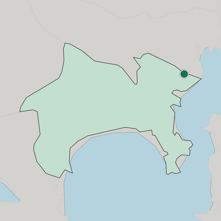
Kuji lies in the north of Takatsu ward in Kawasaki, touching the Tama river to the east, with the Fuchu Kaido and the Nikaryo Yosui to the west and Tsudayama in the south-west.
More areas in Kawasaki
Updated September 2026