Kyrgyzstan: Regions, Cities & Travel Guide
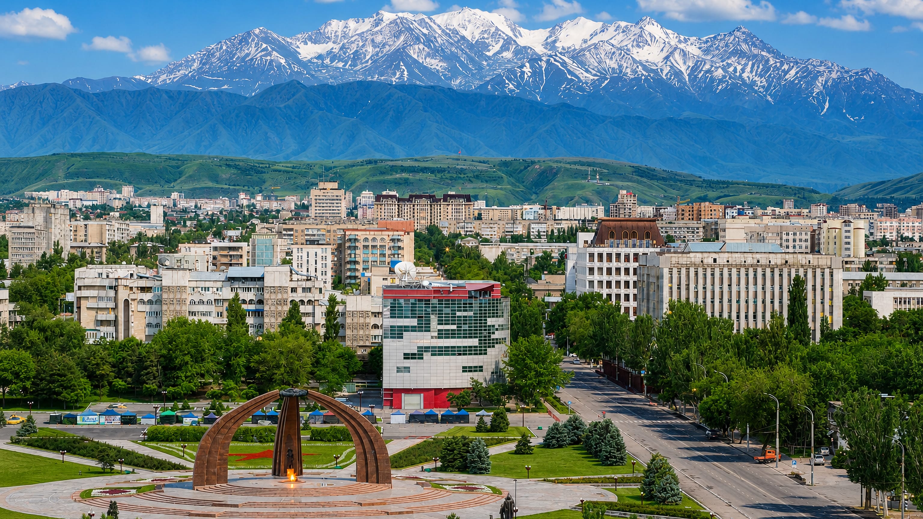
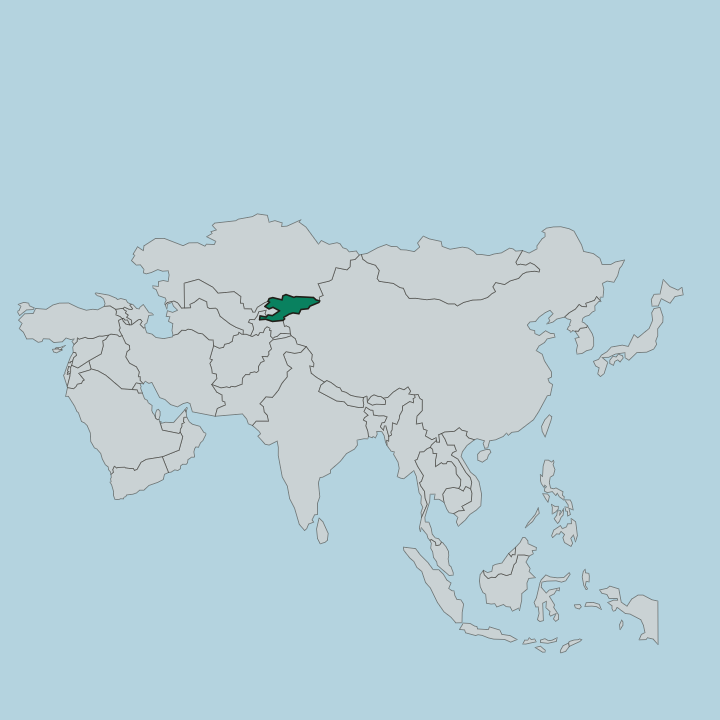
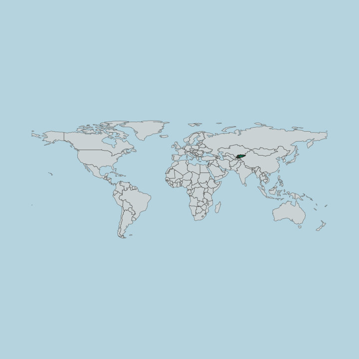
Kyrgyzstan is a landlocked country in Central Asia, wrapped almost entirely in the Tian Shan mountains, with Bishkek as its capital.
Hotel links are affiliate links: booking through them may earn us a commission, at no extra cost to you. It never affects how places are ranked. How this works


Top destinations in Kyrgyzstan
Cities to start from, then drill into areas and hotels.

 Kyrgyzstan
Bishkek
Bishkek is the capital of Kyrgyzstan, spread across the Chui Valley at the foothills of the Tien Shan and used as the way into the mountains.Where to stay →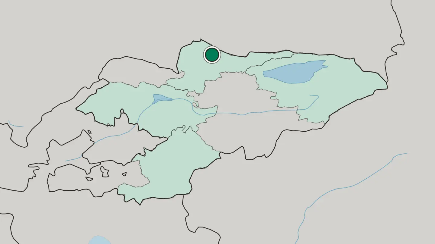
 Kyrgyzstan
Karakol
Karakol, once Przhevalsk, stands near the eastern tip of Issyk-Kul as the administrative capital of Kyrgyzstan's Issyk-Kul Region.Where to stay →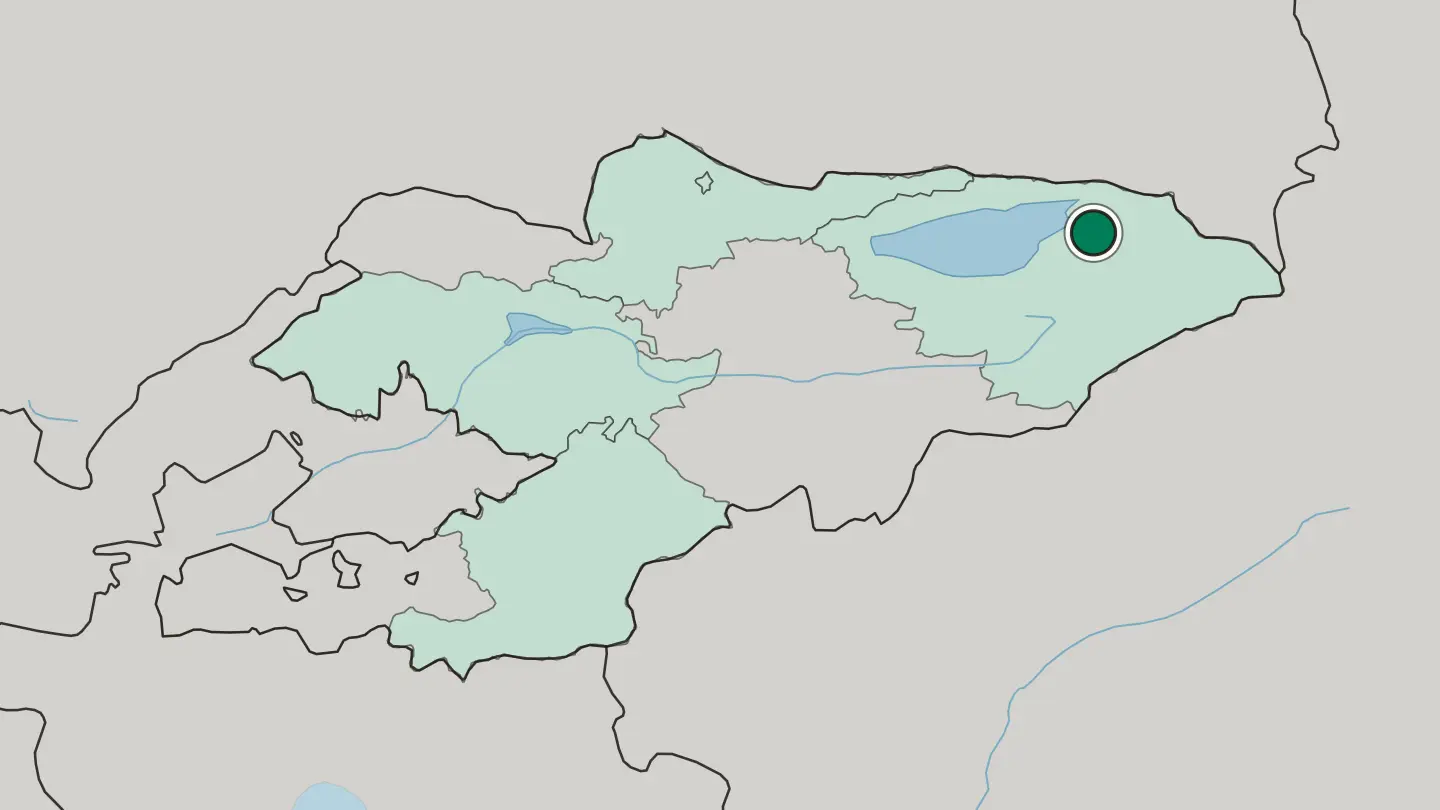 Kyrgyzstan
Manas
Manas, called Jalal-Abad until 2025, is the centre of Jalal-Abad Region, sitting along the Kögart valley below the Babash Ata mountains.Where to stay →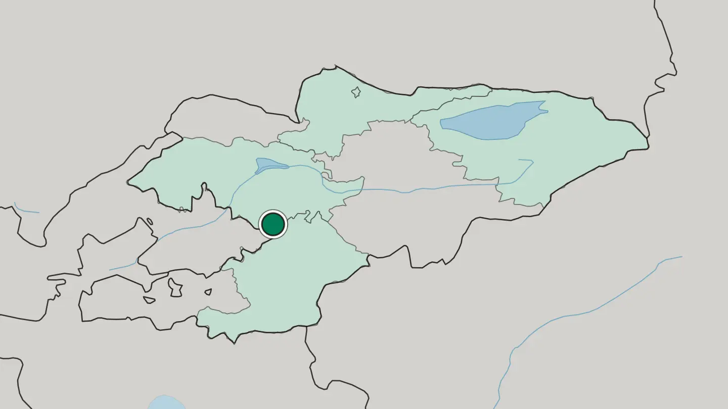
 Kyrgyzstan
Osh
Osh is a city of southern Kyrgyzstan in the Fergana Valley, one of the oldest towns of Central Asia, gathered below the sacred mountain of Sulaiman-Too.Where to stay →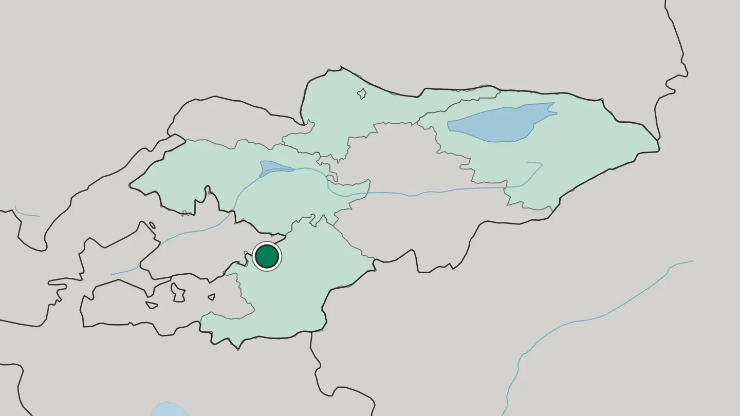
 Kyrgyzstan
Tokmok
Tokmok sits in the Chüy Valley east of Bishkek, with the sites of Balasagun and Suyab beside it and the river Chu to the north.Where to stay →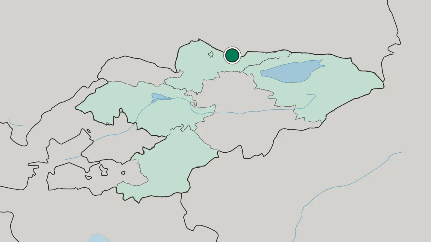
Hotel links are affiliate links: booking through them may earn us a commission, at no extra cost to you. It never affects how places are ranked. How this works
Regions of Kyrgyzstan
Kyrgyzstan
Chuyskaya Oblast’
Chüy Region wraps Kyrgyzstan's capital, Bishkek, and takes its name from the Chüy, the river running through it.Towns & cities →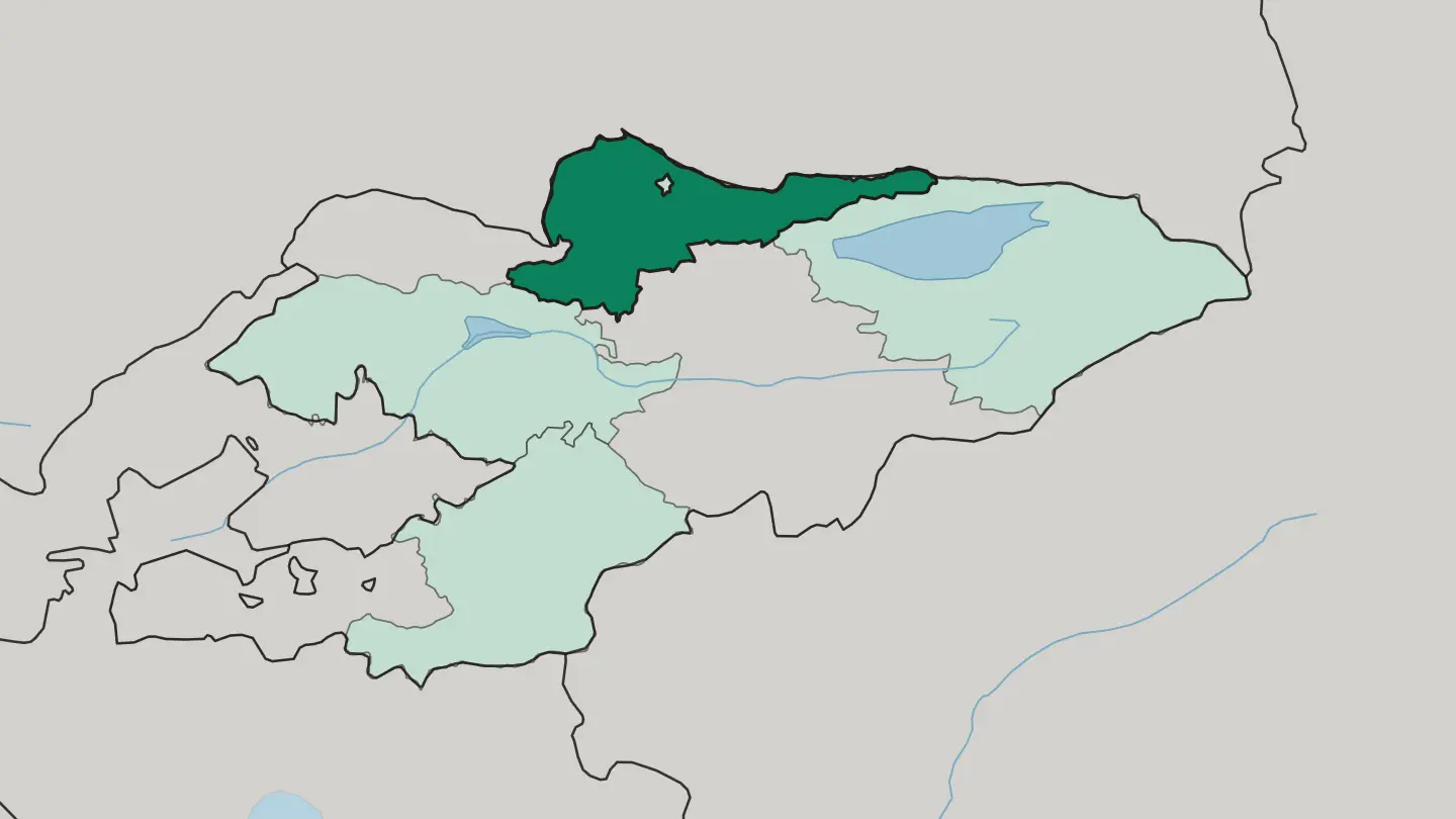 Kyrgyzstan
Gorod Bishkek
Kyrgyzstan's capital, founded in 1825 in the Chui Valley under the Tien Shan, Bishkek is also the seat of Chüy Region.Towns & cities →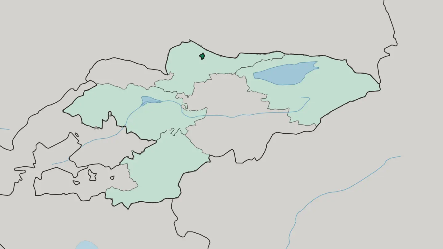 Kyrgyzstan
Issyk-Kul Region
Issyk-Kul Region takes its name from Lake Issyk-Kul, the world's second-largest high altitude lake, and is administered from Karakol.Towns & cities →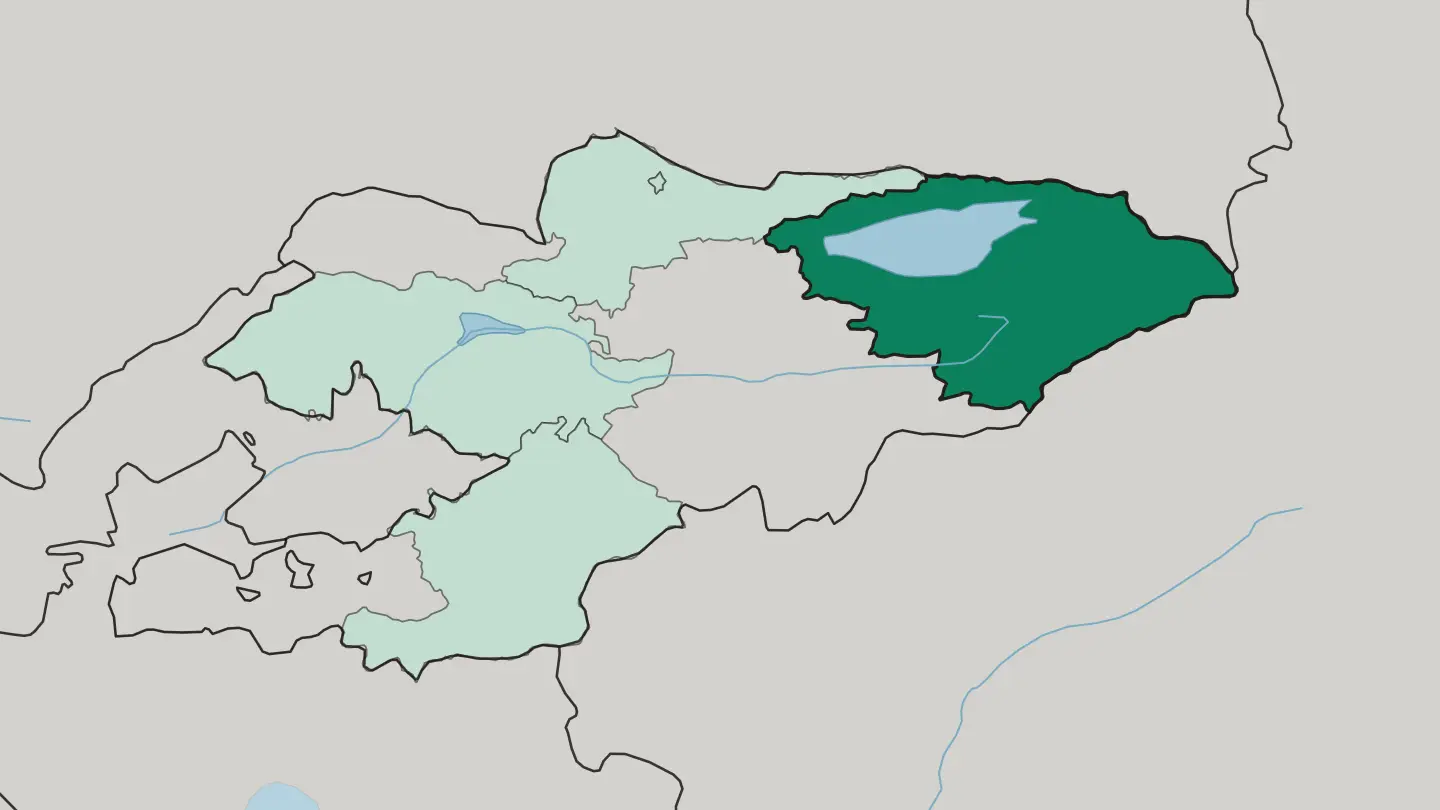 Kyrgyzstan
Jalal-Abad oblast
Jalal-Abad Region borders Uzbekistan, is administered from Manas, and regained its status as a region of Kyrgyzstan in 1990.Towns & cities →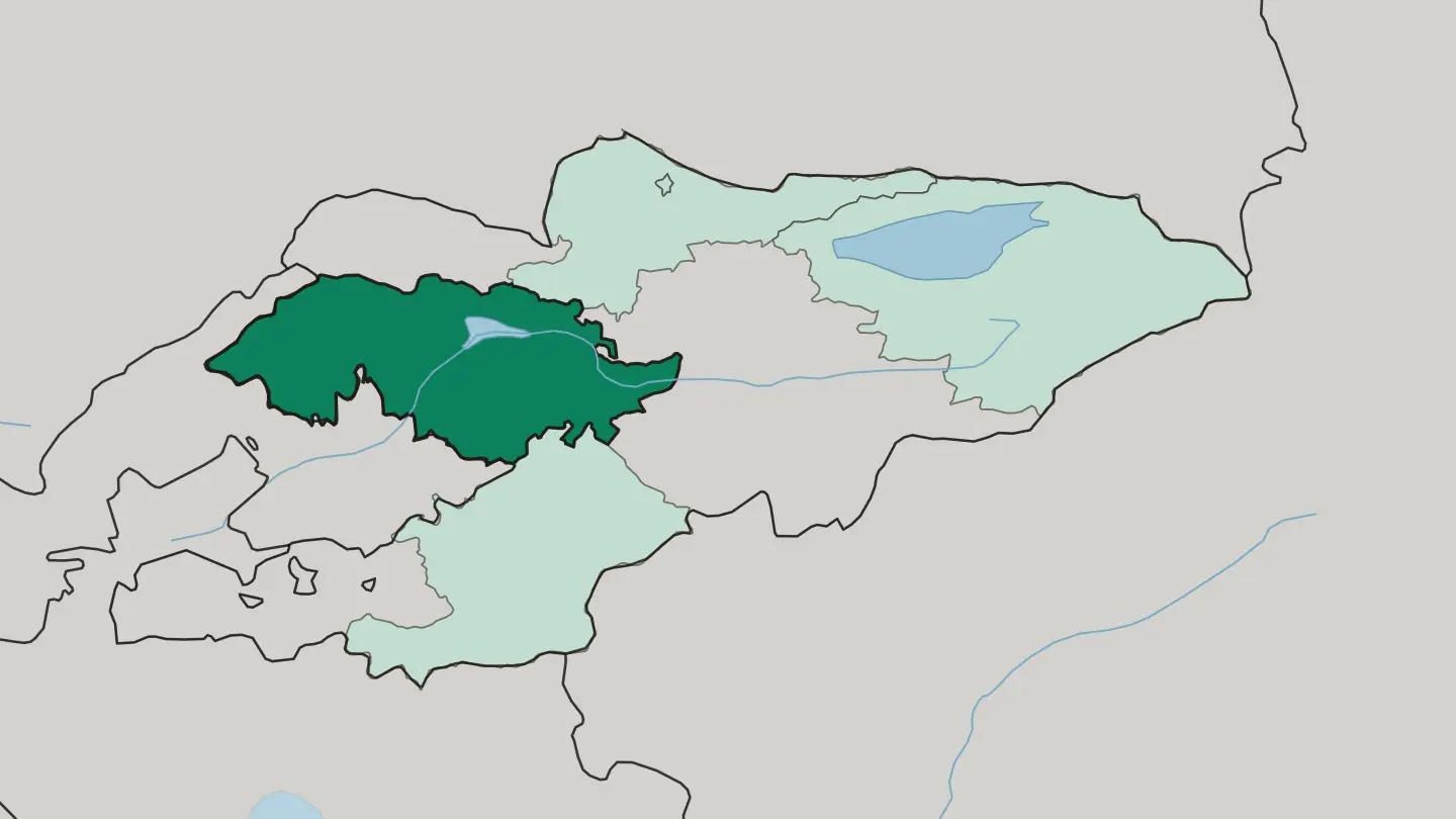 Kyrgyzstan
Osh Oblasty
Osh Oblasty is a region of Kyrgyzstan bordering China, Tajikistan and Uzbekistan, with its namesake city of Osh standing outside the boundary.Towns & cities →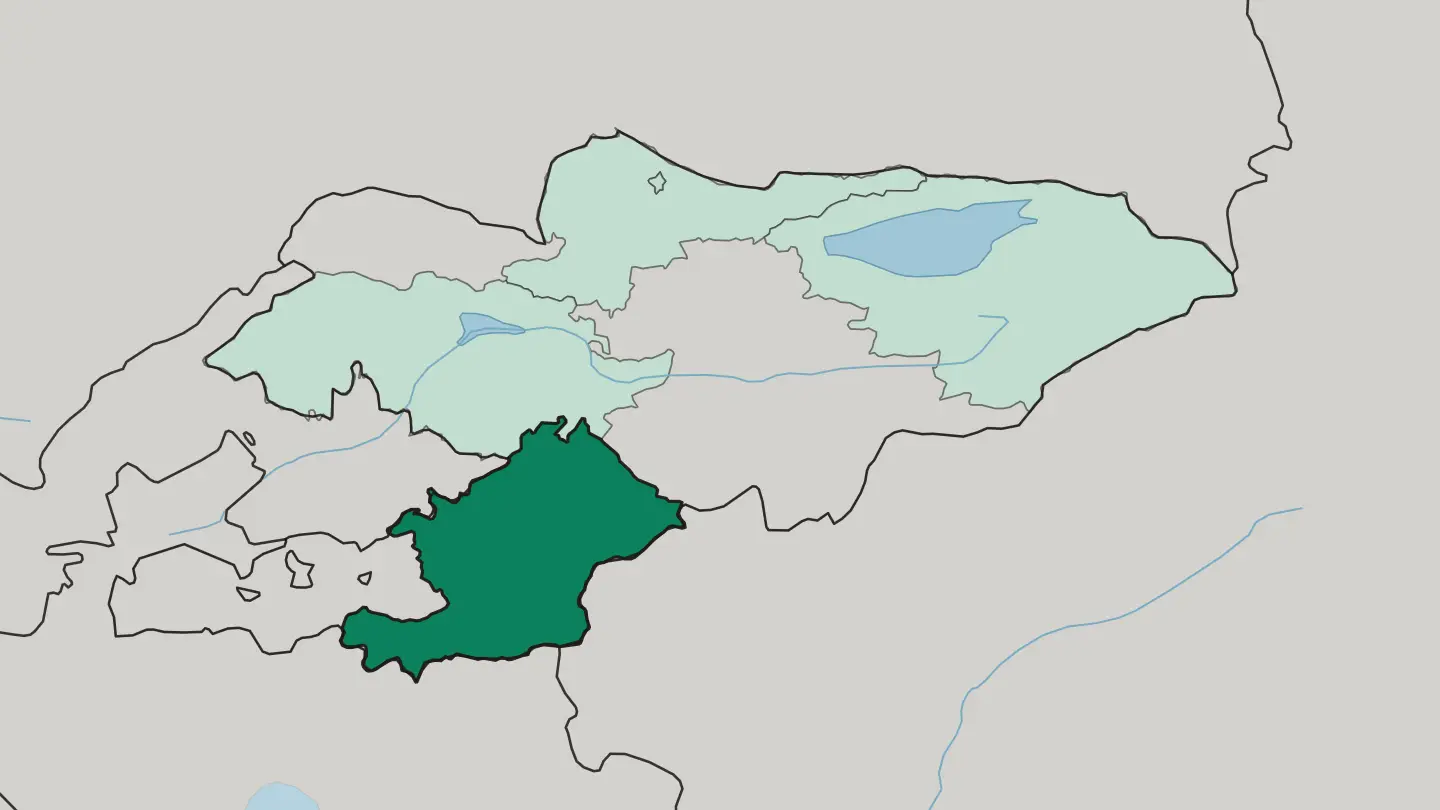
About Kyrgyzstan
Kyrgyzstan is mountains first.
What is Kyrgyzstan known for?
The Tian Shan covers most of the country, and its meltwater feeds Issyk-Kul, a vast saline lake that never freezes. Herders still drive their flocks up to summer pastures called jailoo, pitching yurts on the high grass around Song Kol Lake much as their grandparents did. Bishkek anchors the north with its Soviet-era boulevards, while Osh, far older, guards the south.
The Naryn River threads the middle. Horses run through all of it.
Where is Kyrgyzstan?
Kyrgyzstan sits high. The Tian Shan and the Pamir ranges cover more than four-fifths of the country, and the rest is valley floor and basin squeezed between the ridges, which is why the land is so often compared to Switzerland. The highest ground rises in the east, where Jengish Chokusu tops the Tian Shan on the border with China.
Glaciers hang off these peaks. Their meltwater collects in Issyk-Kul, the second-largest mountain lake on earth after Titicaca, a body of water so deep and salty that it stays ice-free through the coldest months. The Naryn River gathers the eastern snowmelt and carries it west across the middle of the country before it joins the Kara Darya to form the Syr Darya in the Ferghana Valley.
The inhabited lowlands cluster along the edges. In the north the Chuy Valley holds Bishkek and most of the farmland near the Kazakhstan border, while the fertile Ferghana Valley reaches into the south around Osh, shared with Uzbekistan and Tajikistan. Between them lie treeless summer pastures and the mirror of Song Kol Lake.
From ridge to basin, the country tilts steeply.
What is the history of Kyrgyzstan?
The Kyrgyz were herders long before they were a state. Their oldest inheritance is the Epic of Manas, a spoken poem many times longer than the Odyssey, which tells how the hero Manas gathered forty scattered clans into one people. Caravans passed through for centuries.
Though the mountains walled the country off, the Silk Road still crossed its valleys, and Osh grew wealthy as a market town where routes from China met those bound for the Ferghana Valley. In the eighteenth and nineteenth centuries the northern clans fell under the Khanate of Kokand, whose forts taxed the trade and the pastures. Russian expansion followed.
The territory was absorbed into the Russian Empire from 1876, and in 1936 it became the Kirghiz Soviet Socialist Republic, a full union republic whose borders were drawn in Moscow and still shape the map. Soviet planners settled nomads, laid out Bishkek's grid, and built the dams on the Naryn River. Independence came on 31 August 1991, as the Soviet Union collapsed and the country took its own name.
Since then Kyrgyzstan has kept a livelier, more contested politics than most of its neighbours.
What is Kyrgyzstan like?
Kyrgyz culture grew in the saddle and under felt. The yurt remains its emblem, a round frame of willow and wool that a family can raise in an afternoon and carry to the next pasture; men shape the lattice, women press the felt, and the whole dwelling folds away onto a horse. Hospitality is a duty, not a nicety.
A guest is fed beshbarmak, the national dish of boiled mutton over hand-cut noodles, eaten together from a shared platter. Horses matter more than almost anything. On feast days riders still play kok-boru, a fierce game in which two teams wrestle a goat carcass across the grass, and in the mountains a few hunters keep the old craft of training golden eagles to take foxes and hares.
The Epic of Manas is recited by manaschi, performers who carry tens of thousands of lines in memory. Felt shyrdak carpets, dyed and stitched with mountain and animal motifs, cover the floors of every yurt. Islam runs quietly through the north and more visibly through Osh and the Ferghana Valley, layered over older shamanic habits that never fully vanished.
The result feels distinct from its Persian and Turkic neighbours. It is a culture that still measures wealth in animals and open ground.
What is the climate of Kyrgyzstan?
Across Kyrgyzstan, elevation governs the climate. Kyrgyzstan has a sharply continental climate, so the lowland valleys bake through hot, dry summers and freeze under cold winters while the high mountains stay snowbound for much of the year. Issyk-Kul softens its own shoreline, holding enough warmth that the lake never ices over even when the surrounding peaks are deep in white.
Spring and early autumn are the kindest seasons for the passes and the jailoo. Bishkek and the Chuy Valley turn genuinely hot in July. Up on the Tian Shan glaciers, winter never really leaves.
How do you get to Kyrgyzstan?
Air is how most people reach Kyrgyzstan. Manas International Airport, north of Bishkek, is the main gateway and handles the flights from Istanbul, the Gulf, Moscow, and the region's other capitals. The south has its own front door at Osh Airport, useful for the Ferghana Valley and for onward travel toward Tajikistan or the Pamir Highway.
Overland crossings link the country to Kazakhstan and China. Inside Kyrgyzstan the distances are short on the map but slow on the ground, so shared minibuses and hired drivers cover the mountain roads between Bishkek, Karakol, and Osh.
Good for
Updated September 2026