Norway · Agder
Where to Stay in Farsund, Agder


Where to stay in Farsund
Each area has its own feel; here's who each one suits.
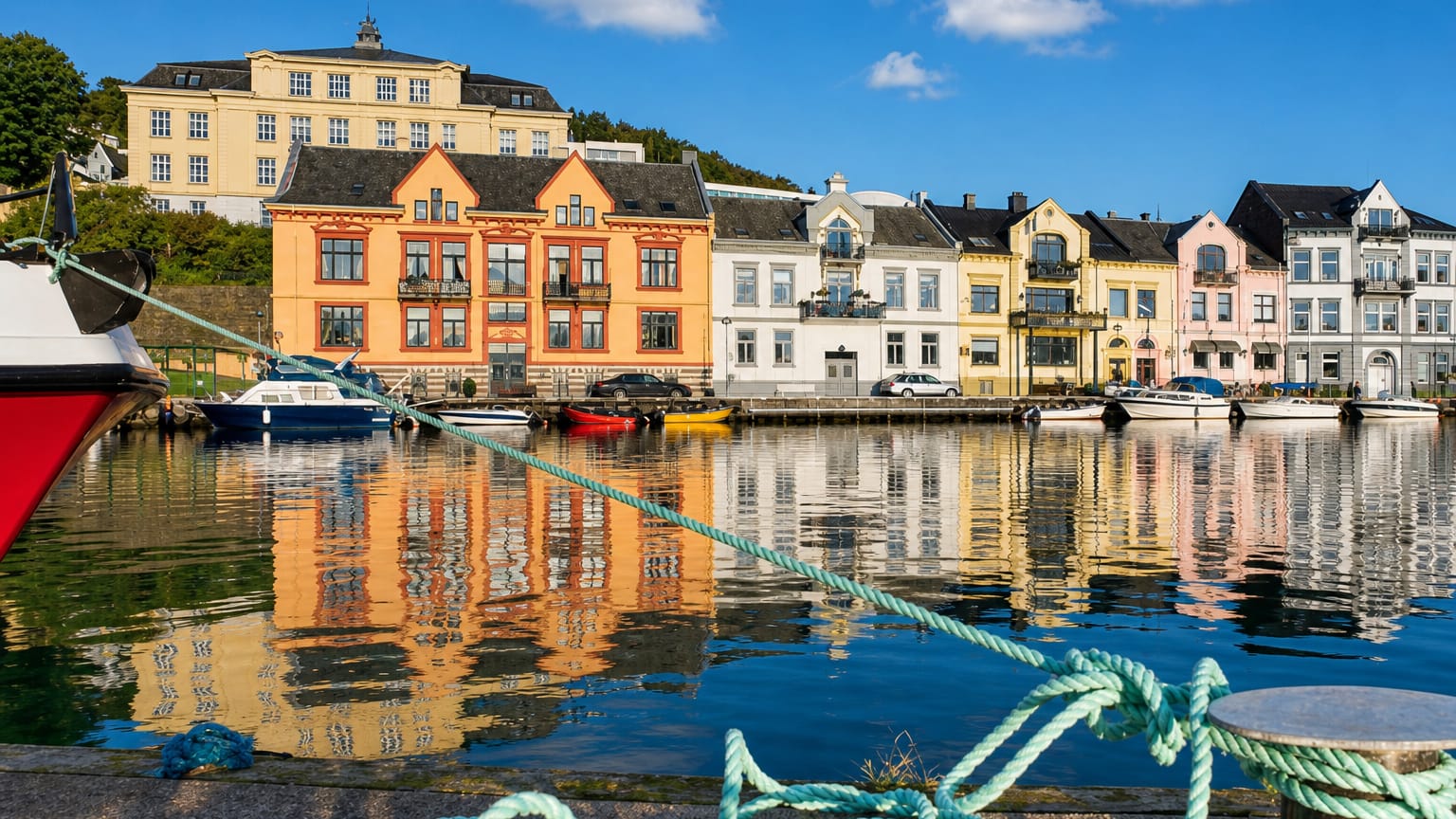
Make the white timber harbour your base. The white timber town of Farsund holds the municipality's small base of rooms around its sheltered inlet in the western part of Agder, and most visitors anchor here within reach of the quays and the open southern Norwegian coast. Beds are few and seaside.
The town centre keeps the handful of harbour hotels and guesthouses, set among the old wooden streets that climb back from the water, and it suits travellers who want to walk straight out to the boats, the shoreline, and the salt air of the Sørlandet coast. The rural parishes offer a quieter footing. Out on the Lista farmland around Vanse kirke, and in the scattered districts toward Spind kirke and Herad kirke, rooms thin to farm stays and coastal cabins rather than hotels.
Pick the town for convenience. The harbour at Farsund puts the Nordberg fort museum, the beaches, and the wider Agder coast within an easy reach that the outlying parishes cannot match.
Things to do in Farsund
Ranked by global recognition; descriptions from Wikidata (CC0).
Churches & Religious Sites
5- Vanse kirke Heritage church in Vanse
- Frelserens kirke Heritage
- Spind kirke Heritage
- Herad kirke Heritage
- Åpta misjonssenter Heritage
Landmarks & Notable Places
1- Trollkirka hill
worth knowingacross 2 categories in Farsund
About Farsund
The sea makes Farsund.
What is Farsund known for?
This western corner of Agder is known for its open coast, its old white timber harbour town, and the spread of parish churches that mark its rural districts, from Vanse kirke out on the flat farmland to Spind kirke and Herad kirke in the outlying parishes. The Nordberg fort guards the approaches. The former coastal artillery site, now a museum on the southern Norwegian shore, anchors the municipality's wartime memory, while the marble hill called Trollkirka rises inland above the farms of Agder.
What are the main landmarks in Farsund?
Churches and a fort mark the map. Farsund's landscape carries a string of old parish churches across the western part of Agder, with Vanse kirke on the Lista farmland, Spind kirke and Frelserens kirke in town and parish, and Herad kirke in the outlying districts. The Nordberg fort stands apart.
The former coastal artillery battery, now a museum above the southern Norwegian shore, recalls the war years, while the marble hill of Trollkirka and the mission centre at Åpta add to the scattered marks of the municipality.
What is the history of Farsund?
Farsund grew from the sea trade. The white harbour town rose as a shipping and customs port on the open coast of the western part of Agder, its fortunes tied to the boats that worked the southern Norwegian shore and the farms of the Lista plain behind it. The parishes came first.
Vanse kirke on the flat coastal farmland and the older country churches at Spind kirke and Herad kirke served the scattered districts long before the harbour town gathered its trade and its timber streets around the inlet. The twentieth century left its mark on the coast. The Nordberg fort was raised as a coastal artillery battery to watch the sea approaches, and its guns and bunkers, now kept as a museum, fix the war years into the memory of the municipality in Agder.
Sea and farm have always pulled together here. The town of Farsund lived by its harbour while the parishes around Vanse kirke and Frelserens kirke lived by the land, and the two halves still define this western corner of southern Norway between the open water and the Lista fields.
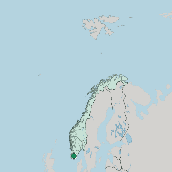
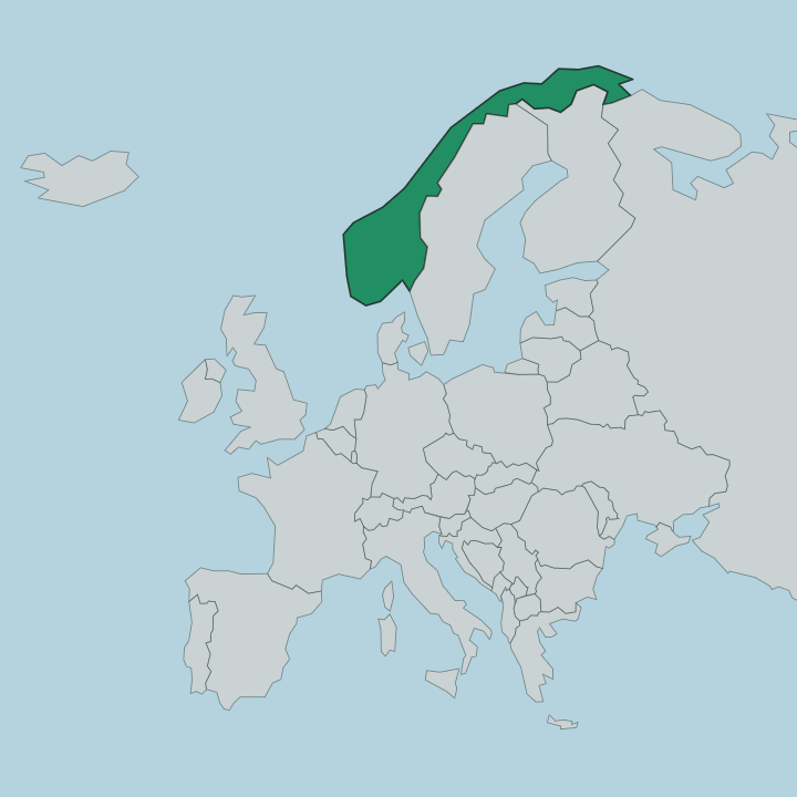
Where is Farsund?
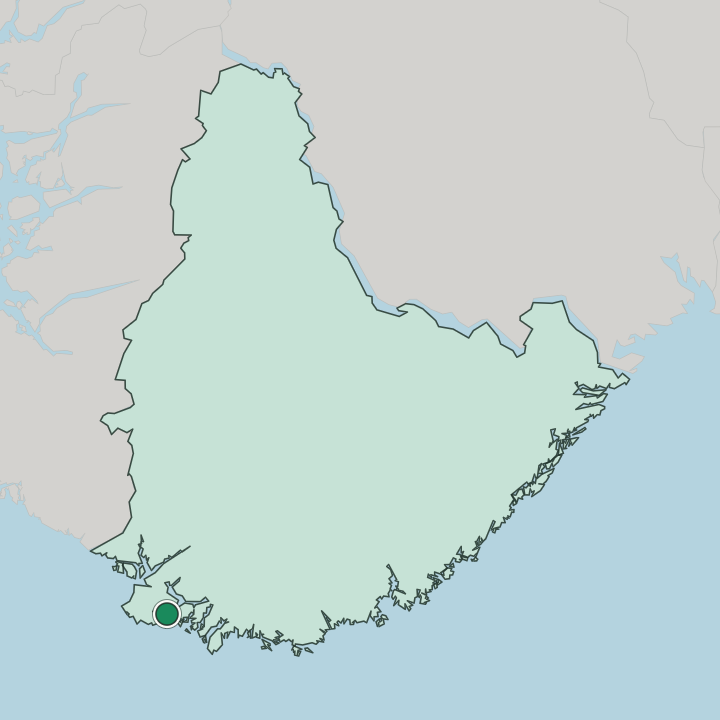
Farsund holds the western part of Agder. The municipality faces the open sea on the southern Norwegian coast, its harbour town set on a sheltered inlet while the flat Lista farmland around Vanse kirke spreads out toward the exposed shore. The land is low and worn.
Behind the coast the country rises only gently to the marble hill of Trollkirka, with scattered parishes toward Spind kirke and Herad kirke threading the inland farms and woods of this corner of Agder between the sea and the higher ground further east.
What is the climate of Farsund?
The sea rules the weather here. Farsund sits full in the path of the open coast in the western part of Agder, so the harbour town and the Lista farmland around Vanse kirke share a mild and wet maritime climate rather than a hard inland one. Winters stay grey and damp.
The salt air off the southern Norwegian shore holds back deep frost along the coast, leaving cloudy, blustery seasons over the flat fields and the low hill of Trollkirka rather than the cold of the Agder interior further inland.
How do you get to Farsund?
Most come in by road. Farsund lies off the main coastal route through the western part of Agder, reached by the road that runs down from the highway toward the harbour and the Lista plain on the southern Norwegian shore. The town is the hub.
From the quays of Farsund the local roads fan out to the parishes around Vanse kirke and Spind kirke and on to the Nordberg fort museum near the coast, tying the scattered districts of the municipality back to the harbour at its heart.
Good for
More cities in Agder
Updated July 2026