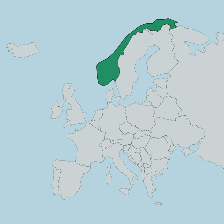
Norway · Finnmark
Where to Stay in Breivikbotn, Finnmark


Breivikbotn is a fishing village on the island of Sørøya, the seat of Hasvik in northern Norway.
Find your area →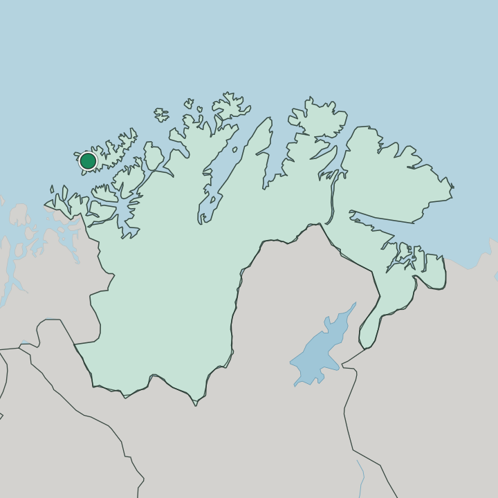
Where to stay in Breivikbotn
The right area depends on your trip — here's what each neighbourhood is best for.
Beds are few and far between. Breivikbotn is a small island fishing village and the seat of Hasvik, so what lodging there is runs to guesthouses and fishing cabins near the harbour rather than hotels, set where the houses gather along County Road 822. Staying by the water puts Breivikbotn kirke and the working quay within a short walk, with the Lopphavet opening west beyond the breakwater.
Most visitors come for the sea fishing or for the sheer remoteness of Sørøya, and they treat the village as a base on the island. From here the village of Hasvik lies to the south along the same road, Sørvær sits out to the west toward the open sea, and the old site of Dønnesfjord lies to the north-east, so a room in Breivikbotn keeps the harbour, the church and the island's settlements within reach. Pack for hard Arctic weather.
You stay for the fishing and the quiet, not for the crowd.
About Breivikbotn
What is Breivikbotn known for?
Breivikbotn is an old trading post and fishing village, and it serves as the administrative centre of Hasvik. The sea is everything here. The village looks west across the Lopphavet from the island of Sørøya, and the fishing of those open waters is the reason it grew, while Breivikbotn kirke stands among the houses as the village landmark.
Travellers know it as a remote island stop, a working harbour set against the bare coast of the north-western part of Finnmark.
What are the main landmarks in Breivikbotn?
The village marker is Breivikbotn kirke, a small church set among the houses of the island seat of Hasvik. Yet the land is the real draw. The Lopphavet stretches open to the west, the bare hills of Sørøya rise behind the harbour, and the scattered settlements of the island, the village of Hasvik to the south and Sørvær out toward the ocean, ring the coast.
Here the wild island shore of the north-western part of Finnmark counts for more than any built monument.
What is the history of Breivikbotn?
Breivikbotn began as a trading post and a fishing village on the western end of Sørøya. The sea made it. Boats worked the rich grounds of the Lopphavet from this sheltered bottom of the bay, and a trading station served the island's fishermen, so the cluster of houses by the water grew into the chief settlement of this stretch of coast and in time the seat of Hasvik.
Like much of Finnmark the village carries the weight of the war years, when the far north was burned in the German retreat and its communities had to be rebuilt from little. Breivikbotn kirke marks the village heart through that rebuilding, a modest church for a small parish. The pattern of life held to its old shape.
People lived from the fishing of the Lopphavet, the harbour stayed at the centre, and the outlying places of the island, among them Sørvær to the west and the old site of Dønnesfjord, kept the island settled. That long reliance on the open sea is still the story of Breivikbotn on the north-western edge of Finnmark.
Where is Breivikbotn?
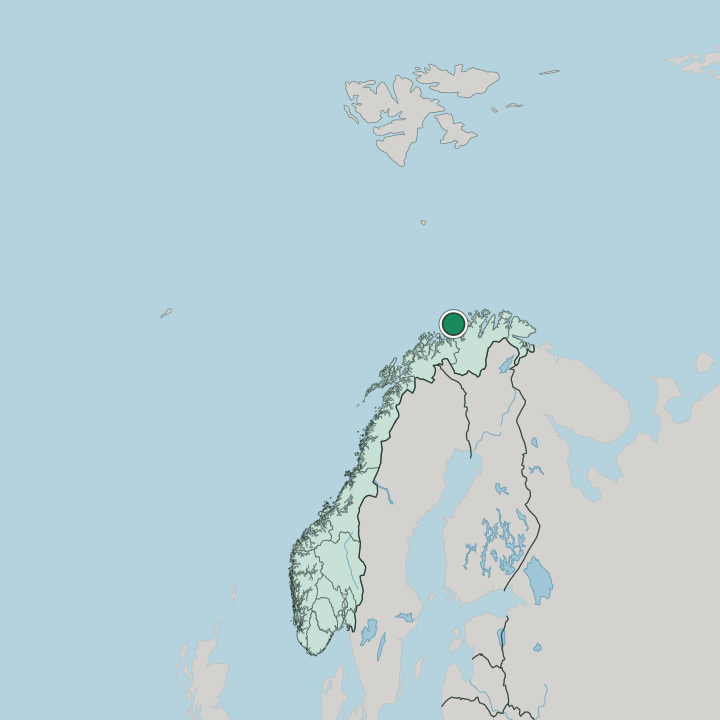
Breivikbotn lies at the head of a bay on the western side of Sørøya, the large island off the north-western part of Finnmark. The ground is hard and open. Bare hills rise behind the village and run down to a coast that faces straight onto the Lopphavet, the stretch of sea between the island and the open Arctic, with County Road 822 threading along the shore to tie the settlements together.
It is an exposed island landscape of rock, low fell and saltwater in the far north of northern Norway.
What is the climate of Breivikbotn?
This is an exposed Arctic coast, open to every weather the Lopphavet sends in. Winters are dark and stormy. The sea holds the cold off a little, but the polar night settles over Sørøya and gales drive in off the open water for much of the season, while the short summer brings the midnight sun and a thin green to the island fells.
Wind is the steady fact of the north-western part of Finnmark, and the weather here can turn within the hour.
How do you get to Breivikbotn?
Reaching the island takes some doing. Breivikbotn sits in the central part of Sørøya along County Road 822, which links the village to Hasvik and the island's other settlements, but Sørøya is an island and the crossing to the mainland of Finnmark is by sea or air. Plan the connections ahead.
Most travellers come for the fishing or the remoteness and accept that the far north-western corner of Norway is reached slowly, by ferry, small plane and the island road.
Good for
More cities in Finnmark
Updated July 2026