Norway · Vestland
Where to Stay in Svelgen, Vestland


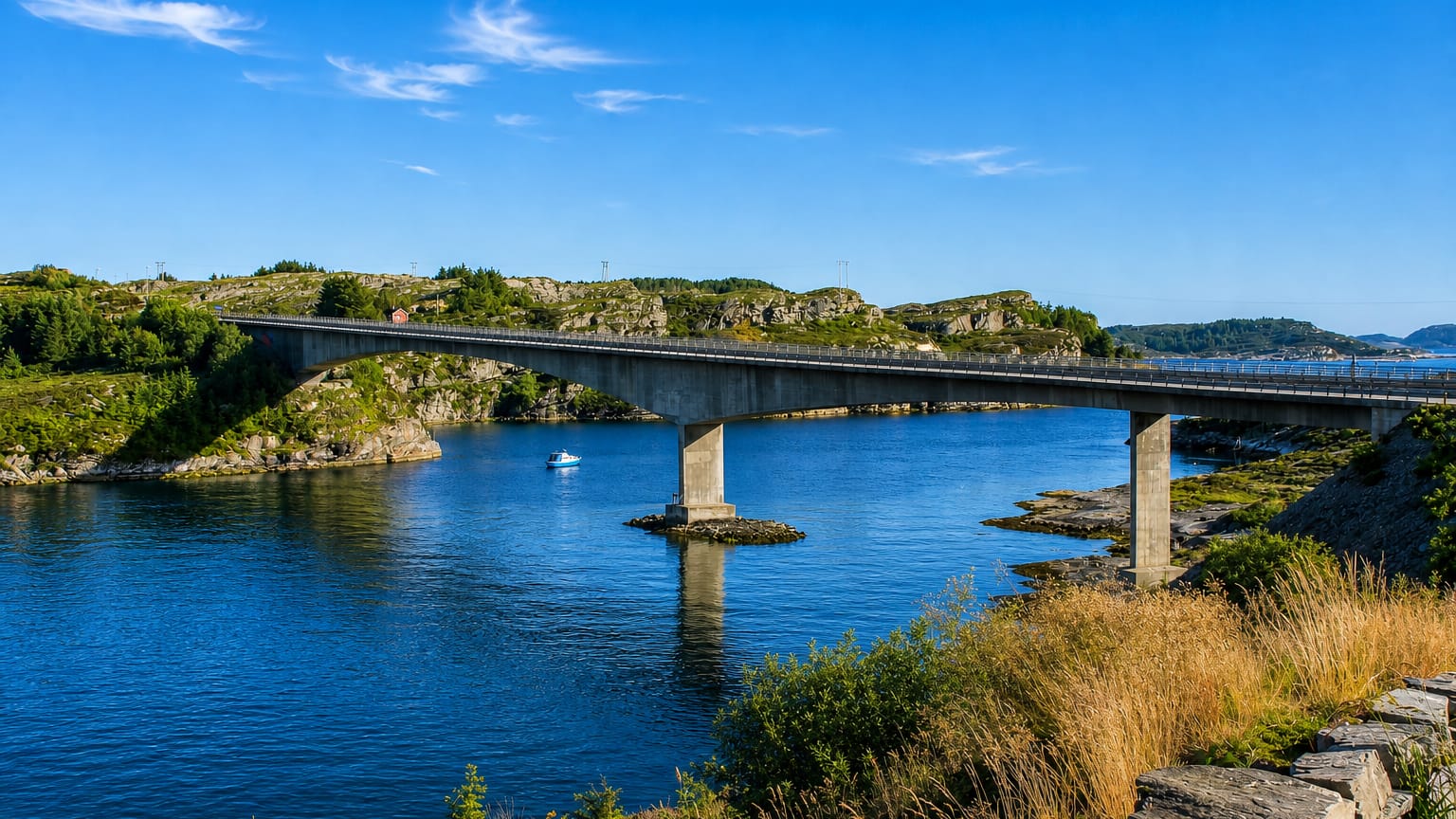
Svelgen is the centre of Bremanger Municipality, set at the head of the Nordgulen fjord in western Norway.
Find your area →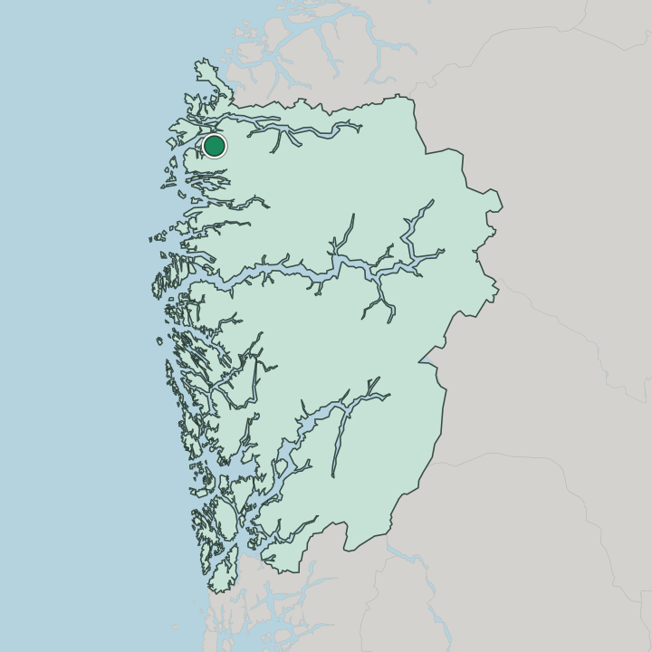
Where to stay in Svelgen
The right area depends on your trip — here's what each neighbourhood is best for.
Most beds in Svelgen sit in the village centre by the head of the Nordgulen fjord, where guest rooms and small lodgings stand within a short walk of Svelgen kapell and the mouth of the Svelgselva river. The centre suits visitors who want the fjordside and the river on the doorstep. It makes the natural base by the fjord.
Out along the road and through the Bortne Tunnel toward the outer reaches of Bremanger Municipality, scattered cabins and holiday houses sit handy for travellers touring the fjords and coast of Vestland by car. Beds out there are scarce. Around the country churches of Berle kirke and Midtgulen kirke, the odd farm stay or rented cabin gives a quieter base among the parishes of this part of western Norway.
Stock thins outside the village. Book ahead in the warm months, when the fjord and the mountains draw walkers and drivers to this north-western corner of Vestland.
About Svelgen
What is Svelgen known for?
Svelgen serves as the administrative centre of Bremanger Municipality, gathered at the eastern end of the Nordgulen fjord where the Svelgselva river runs down to the water. The fjord made the place. Svelgen kapell marks the local church, while the Bortne Tunnel north of the village ties it to the outer parts of the municipality across the steep ground of Vestland.
Travellers reach this corner of western Norway for the fjord, the river mouth and the working life of a small Vestland village at the foot of its mountains.
What are the main landmarks in Svelgen?
Svelgen kapell stands at the heart of the village by the Nordgulen fjord. The chapel is the local church, the fixed point of the small settlement and part of the wider Church of Norway. The fjord frames the place.
Out in Bremanger Municipality the older country churches of Berle kirke and Midtgulen kirke serve the outer parishes, while the Bortne Tunnel cuts north through the mountains and links Svelgen to the coast and islands of this part of Vestland.
What is the history of Svelgen?
Svelgen grew at the inner end of the Nordgulen fjord, where the Svelgselva river falls to the sea. The fall of the river drew industry to the village, and the settlement gathered around the works and the water at the foot of the steep Vestland mountains. Power came from the river.
Svelgen kapell rose to serve the growing village, while the older churches of Berle kirke and Midtgulen kirke stood among the scattered parishes of the surrounding land in this corner of western Norway. The road came late to so remote a place. For long years the fjord carried people and goods, until the Bortne Tunnel was driven north through the rock and tied Svelgen to the outer parts of the municipality.
The village became the administrative centre of Bremanger Municipality, the seat for the parishes and farms spread along the fjords and headlands of north-western Vestland, and it has kept that role as the small capital of its district on the inner reach of the Nordgulen fjord.
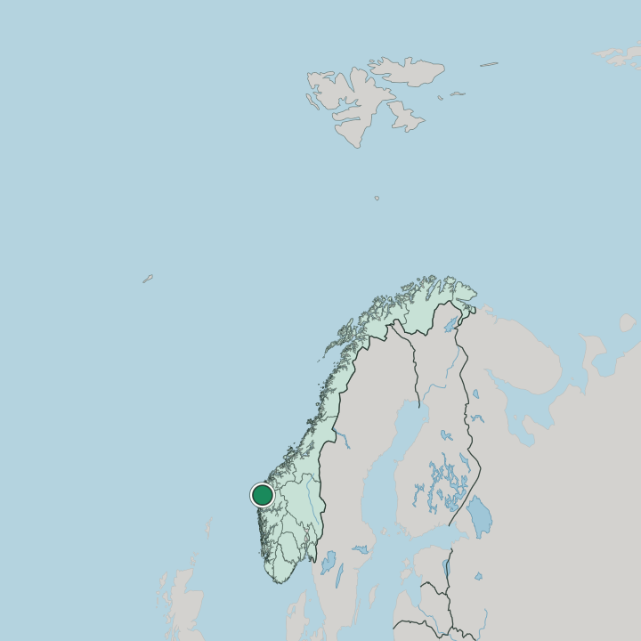
Where is Svelgen?
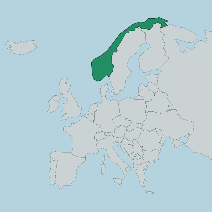
Svelgen lies at the eastern end of the Nordgulen fjord, in the north-western part of Vestland, in western Norway. The village stands at the mouth of the Svelgselva river, hemmed by the steep mountains that crowd the inner fjord and gathered around Svelgen kapell on the level ground by the water. Mountains press close.
Bremanger Municipality reaches out along the fjords and headlands to the coast, the Bortne Tunnel carrying the road north through the rock toward the outer parishes around Berle kirke and Midtgulen kirke.
What is the climate of Svelgen?
Svelgen has the wet, mild maritime climate of the inner Vestland fjords. Winters stay cool and dark rather than bitter, the Nordgulen fjord holding hard frost off the low ground while snow gathers on the mountains above the village. Rain reaches Svelgen through every season.
The steep slopes around the Svelgselva river wring heavy cloud off the sea through much of the year, and the long summer light brings green to the valley floor and the fjordside of this part of western Norway.
How do you get to Svelgen?
Svelgen sits at the inner end of the Nordgulen fjord, reached by road along the fjords of Vestland. The Bortne Tunnel carries the route north through the mountains and ties the village to the outer parts of Bremanger Municipality, the road winding down at last to Svelgen kapell and the river mouth. Many come by boat.
The fjord long served as the highway of this coast, and ferries and the coastal route still link the village to the wider waters of western Norway, while drivers take the long mountain roads inland to reach it.
Good for
More cities in Vestland
Updated July 2026