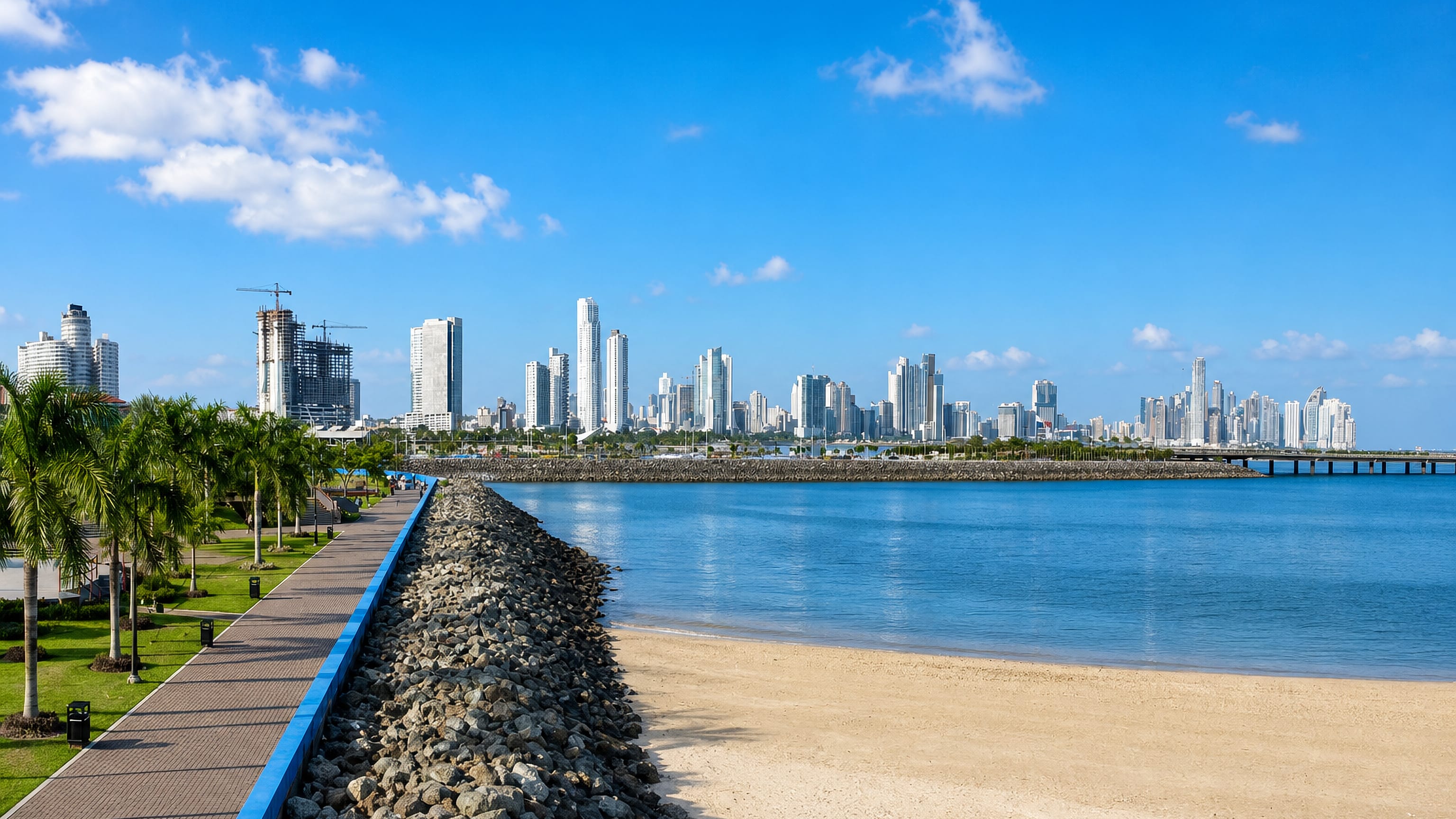
Panama: Regions, Cities & Travel Guide
Panama joins two continents and two oceans, its canal cut through the isthmus where Central America meets Colombia.
Hotel links are affiliate links: booking through them may earn us a commission, at no extra cost to you. It never affects how places are ranked. How this works


Top destinations in Panama
Cities to start from, then drill into areas and hotels.
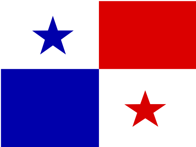 Panama
Panama City
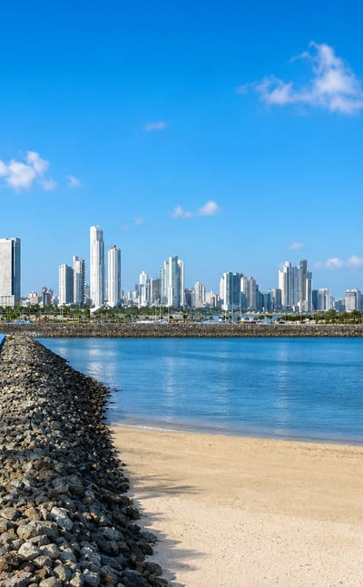
Panama City rises along the Pacific coast at the Panama Canal's entrance, the capital of Panama, known for Iglesia de San José and its banking district.Where to stay →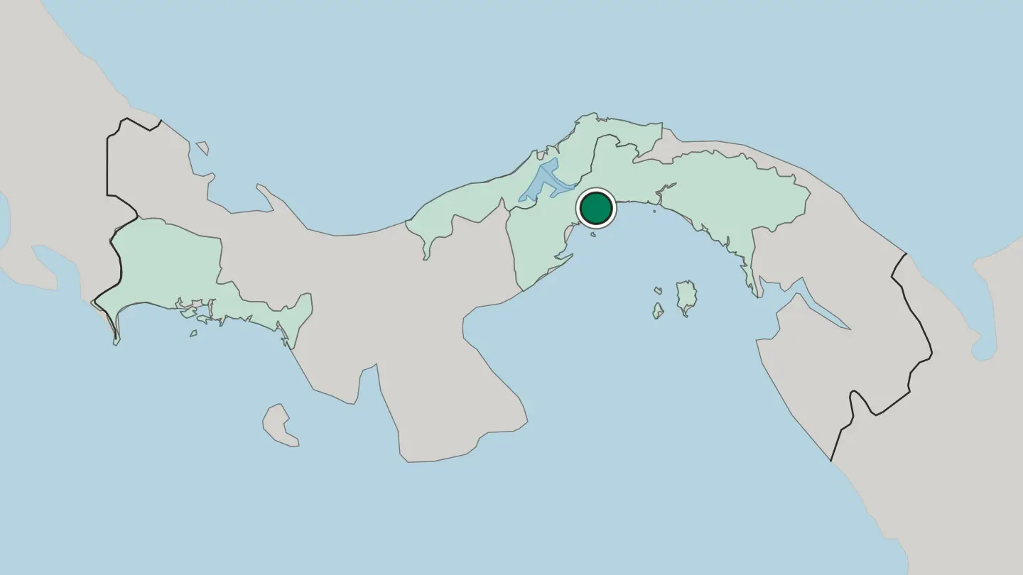
 Panama
Colón
Colón is a city on the Caribbean coast of Panama, at the Caribbean end of the Panama Canal below the great locks of Gatún.Where to stay →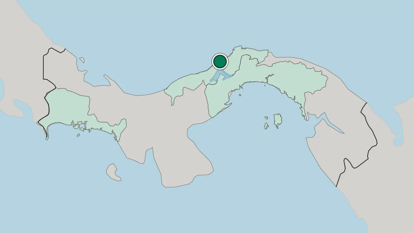 Panama
San Miguelito
San Miguelito is a district and city of Panamá Province, enclaved entirely within Panama District and part of the Panama City Metropolitan Area.Where to stay →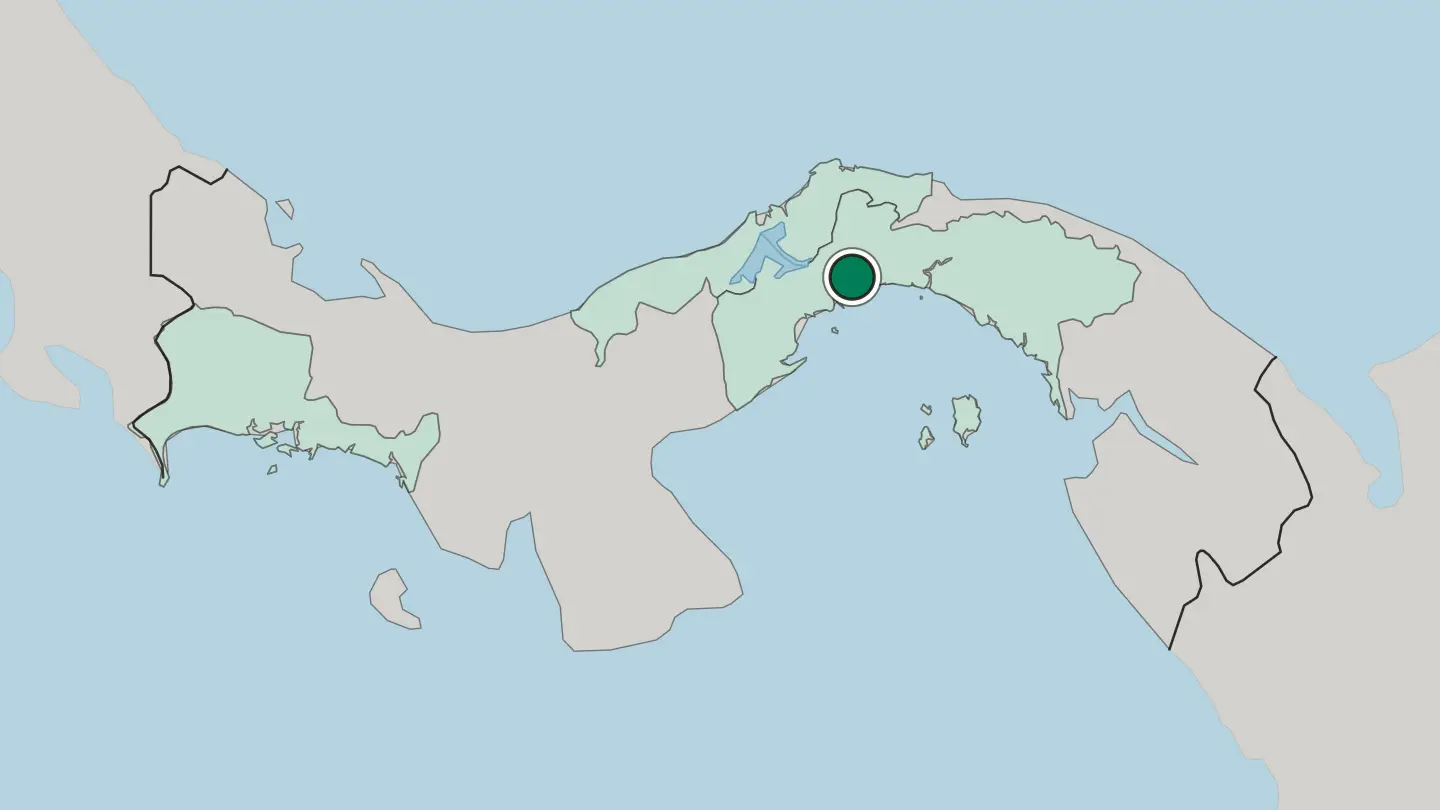
 Panama
David
David is the capital of Chiriquí Province in western Panama, founded in 1602 and the largest Panamanian city outside the capital's metro area.Where to stay →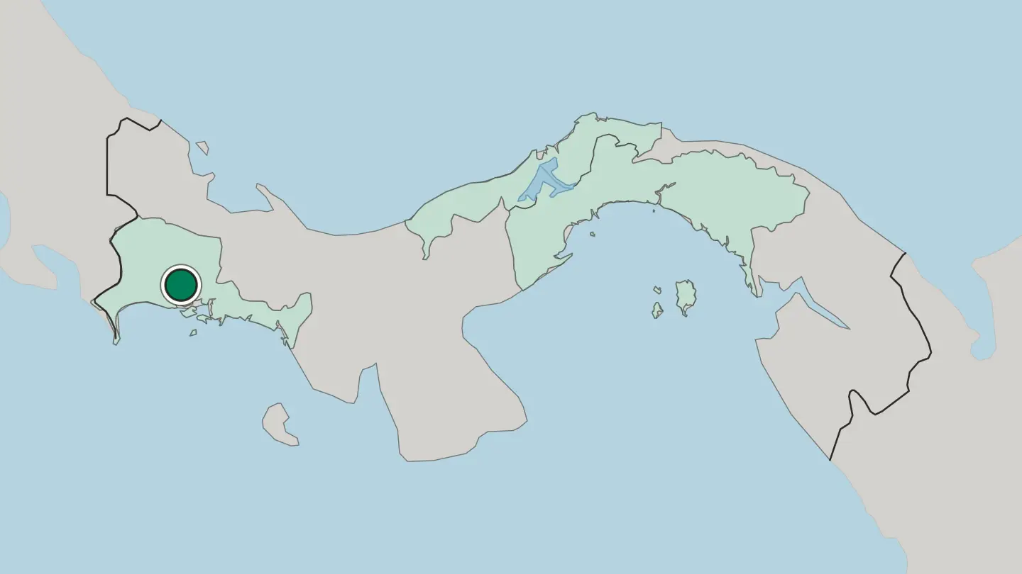
Hotel links are affiliate links: booking through them may earn us a commission, at no extra cost to you. It never affects how places are ranked. How this works
Regions of Panama
Panama
Provincia de Chiriquí
Chiriquí is a province on the western coast of Panama, bordered by Costa Rica and the Gulf of Chiriquí, with David as its capital.Towns & cities →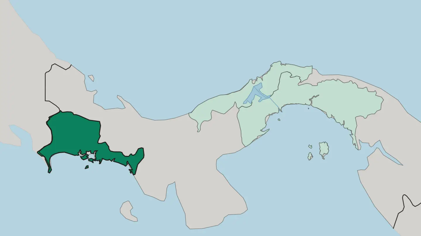 Panama
Provincia de Colón
Colón is one of Panama's provinces, named for its capital city and grouped with Coclé and Panama Province in the Central Panama region.Towns & cities →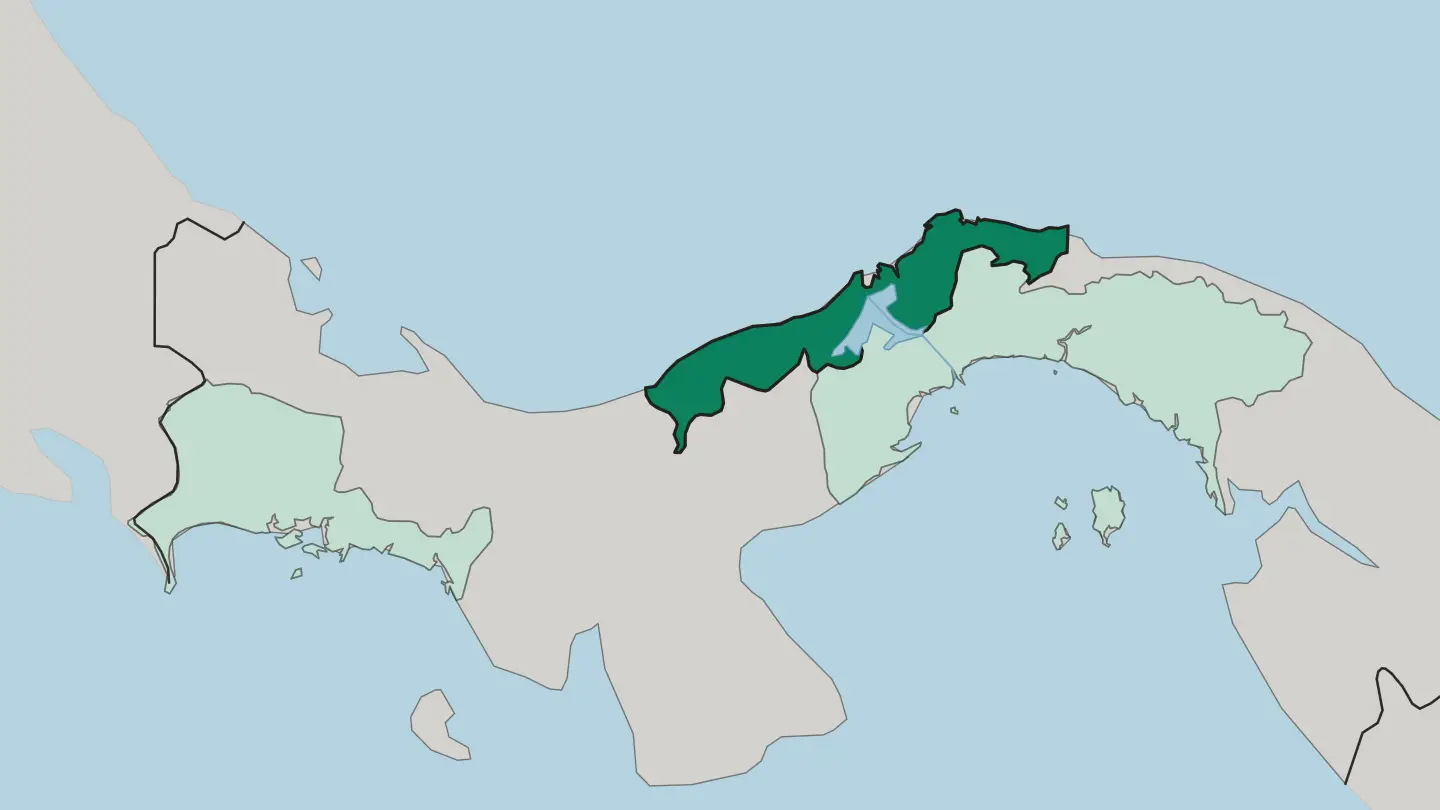 Panama
Provincia de Panamá
Provincia de Panamá is the central province of Panama, home to the national capital Panama City, which also serves as its provincial capital.Towns & cities →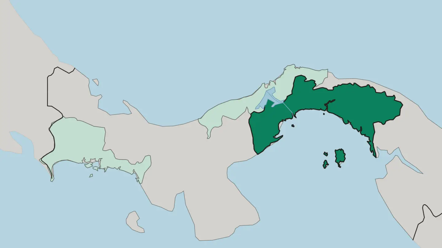
About Panama
The Panama Canal defines the country to outsiders.
What is Panama known for?
Ships crossing between the Caribbean and the Pacific still pay Panama City its keep, and the skyline of glass towers rising above the old Casco Viejo quarter grew from that traffic. Yet the wider country is quieter. Coffee ripens on the slopes of Volcán Barú near Boquete, the Guna sell mola textiles across the San Blas Islands, and the roadless forest of the Darién swallows the highway near Colombia.
Two oceans, one narrow land.
Where is Panama?
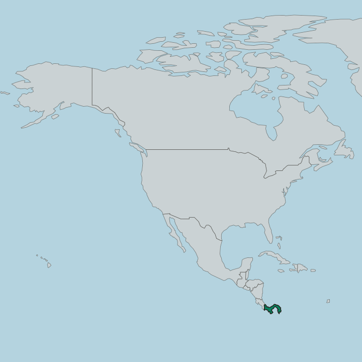
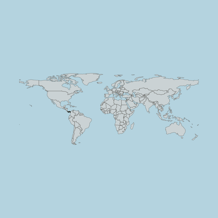
Panama forms the narrow, S-shaped bridge at the southern end of Central America, bordered by Costa Rica to the west and Colombia to the southeast, with the Caribbean along its north coast and the Pacific along its south. The land is thin. At its slimmest the isthmus lets a single canal join the two oceans, and the country runs east to west rather than north to south, so its Caribbean and Pacific shores face away from each other across only a few hours of driving.
A spine of mountains runs almost the whole length of the country, splitting the rain that falls toward each ocean. In the far west this range rises to Volcán Barú, an extinct volcano above Boquete and the highest point in Panama. Rivers drain both flanks.
The Changuinola pours off the western cordillera through Bocas del Toro to the Caribbean, while the Chepo, also called the Bayano, runs from the Darién foothills to the Pacific east of Panama City. The east is different again. There the Darién dissolves into forest, swamp, and the roadless gap that breaks the Pan-American Highway short of Colombia.
From the coffee highlands of Chiriquí to that green wall, the country never widens far. It is a land defined by its edges.
What is the history of Panama?
Panama has been a crossing point far longer than the canal. Long before Europeans came, the isthmus carried people and trade between the two Americas, and the Guna, Emberá, and Ngäbe still hold land their ancestors walked. Spain seized the crossing early.
Panama City was founded on the Pacific in 1519 and became the point where Peruvian silver was hauled overland to the Caribbean for shipment to Seville, which made the isthmus one of the busiest arteries of the Spanish empire. Independence came with the wider region. The territory broke from Spain in 1821 and joined Gran Colombia, and when that union dissolved Panama remained a province of Colombia for the rest of the century.
The canal changed everything. A French company under Ferdinand de Lesseps began digging in 1880 and failed, beaten by disease and terrain, before the United States took up the ambition. Panama declared its independence from Colombia in 1903, backed by American warships, and the treaty signed that year handed the canal zone to Washington.
The waterway opened in 1914 and split the country in two for decades. The zone stayed foreign until the Torrijos-Carter treaties, and Panama took full control of the canal at the end of 1999. From silver road to shipping lane, the crossing has always ruled.
What is Panama like?
Panamanian culture braids Indigenous, Spanish, African, and Caribbean threads into something distinct. Spanish is the shared tongue, but the country holds many others. The Guna of the San Blas Islands stitch the reverse-appliqué panels called molas, geometric and bright, while Emberá and Wounaan carvers and weavers work the rivers of the Darién.
The interior keeps older Spain alive. In the towns of the Azuero Peninsula the women dance in the pollera, a lace-and-embroidery gown that can take a year to sew, and the Corpus Christi devils of Los Santos still leap through the streets in painted masks. Food carries the same mix.
Sancocho, a chicken-and-root soup seasoned with culantro, anchors the national table beside patacones, ceviche bought at the Panama City fish market, and the coconut rice of the Caribbean coast. City and country pull in different directions. The glass banking towers and canal money of Panama City sit hours from villages where cattle and coffee still set the rhythm, yet the pollera and the mola turn up at every national fiesta.
It is a small country that contains many.
What is the climate of Panama?
Panama sits deep in the tropics, warm and humid the year round on both coasts. The calendar turns on rain, not temperature. A dry season runs from about December to April, when the Pacific side clears and the trade winds ease, and a green wet season fills the months between.
The Caribbean coast of Bocas del Toro stays wetter than the Pacific through most of the year. Height cools things sharply, and the coffee hills around Boquete under Volcán Barú keep a spring-like air while the lowlands swelter. Altitude is the only real escape.
How do you get to Panama?
Most travellers land at Tocumen International Airport outside Panama City, the main hub of Central America, with direct flights across the Americas and to Europe. From there the country opens up quickly. Domestic flights and the Pan-American Highway reach the coffee highlands of Chiriquí and the Caribbean side, while boats and small planes serve Bocas del Toro and the San Blas Islands.
The one hard border is east. The Darién gap has no road through to Colombia, so onward travel south means flying or sailing. Panama City is where nearly every trip begins.
Good for
Updated September 2026