Serbia
Autonomna Pokrajina Vojvodina, Serbia — Towns & Travel Guide


Vojvodina is the flat, fertile autonomous province filling northern Serbia above the Danube.
Find your area →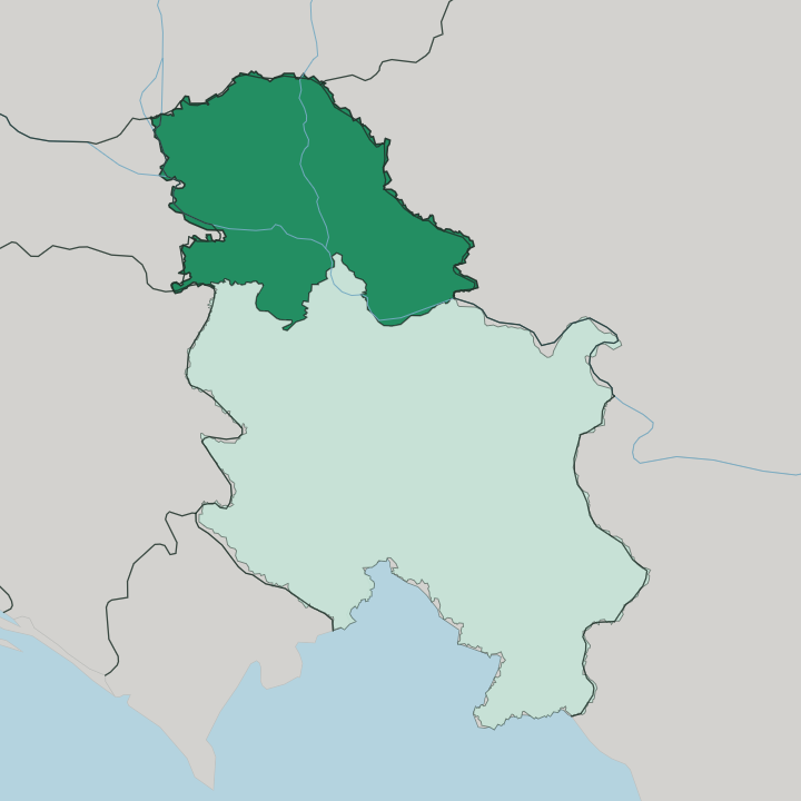
Towns & cities in Autonomna Pokrajina Vojvodina
Pick a town or city — each links to where to stay.
 Serbia
Novi Sad
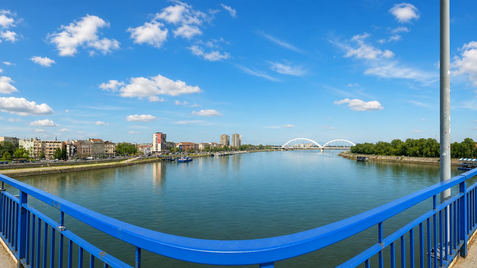
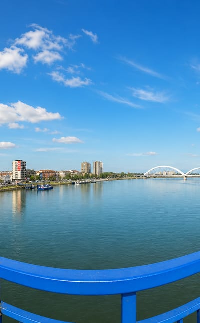
The Danube slides past Novi Sad below Fruška Gora, the capital of Vojvodina and Serbia's second city, known for the ramparts of Petrovaradin Fortress.Where to stay →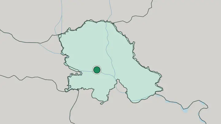
About Autonomna Pokrajina Vojvodina
What is Autonomna Pokrajina Vojvodina known for?
Vojvodina is Serbia's plain. Its farmland stretches to the horizon. The province spreads across the southeast corner of the Pannonian Plain, and the black chernozem soil beneath it makes this one of the most productive agricultural belts in the whole of Serbia.
Novi Sad anchors it, the second-largest city in the country and the seat of provincial government. More than two dozen ethnic communities share the land here, and six languages hold official status across the province. The Danube cuts through the south past the wooded ridge of Fruška Gora.
Where is Autonomna Pokrajina Vojvodina?
Vojvodina forms the northern third of Serbia, the whole of the country lying north of Belgrade and the two rivers that meet there. The Sava and the Danube draw its southern edge. Above that line the land runs almost dead flat, the Serbian share of the vast Pannonian Plain that spreads north into Hungary and east into Romania.
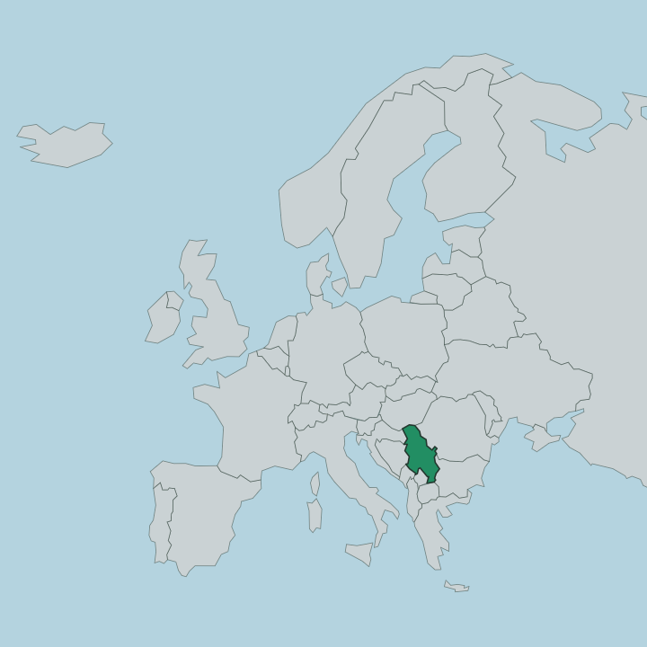
Croatia borders the province to the west, Hungary to the north, and Romania to the east. Two rivers split the interior into its historic thirds. The Danube and the Tisza divide Bačka in the northwest, Banat in the east, and Syrmia in the southwest, and each of those regions carries its own villages, its own mix of peoples, and its own field patterns.
Relief barely interrupts the plain. Only two ranges break it, the wooded ridge of Fruška Gora rising in northern Syrmia above the Danube, and the low Vršac Mountains in the southeastern corner of Banat. The rest is farmland and river.
Loess and black chernozem soil lie thick across the province, laid down after the Pannonian Sea drained away, and that soil is the reason the whole plain grows grain. Novi Sad stands near the middle of it, on the Danube along the border between Bačka and Syrmia, facing the northern slopes of Fruška Gora across the water.
What is Autonomna Pokrajina Vojvodina like?
Vojvodina is Serbia's most mixed province by a distance. Serbs form the majority, but Hungarians, Slovaks, Romanians, Croats and Rusyns live alongside them, and the census counts more than two dozen ethnic communities across the plain. Six languages carry official status here.
Serbian, Hungarian, Slovak, Romanian, Croatian and Pannonian Rusyn all appear on the road signs and in the assembly, a legacy of the centuries when Habsburg rulers settled the emptied Pannonian frontier with peoples from across their empire. That mixing shows up first at the table. Hungarian paprika stews, Slovak and Romanian village dishes, and Serbian grills sit side by side across the province, and the wine villages of Fruška Gora press their own reds and whites.
Culture here is not only rural. Novi Sad carried the nickname the Serbian Athens through the nineteenth century, when the town became the intellectual centre of Serb national life under Habsburg rule, and it still holds the theatres, galleries and the Matica srpska heritage that came with that role. The Orthodox monasteries of Fruška Gora anchor the older faith.
Seventeen of them stand along the ridge, some founded five centuries ago, tucked into the beech woods above the river.
What is the history of Autonomna Pokrajina Vojvodina?
The name goes back to 1848, when Serbs meeting at the May Assembly in Sremski Karlovci proclaimed a Serbian Vojvodina, an autonomous duchy within the Austrian Empire. That first province was short-lived. The Habsburgs turned it into a crownland and then folded the land back into Hungary, and for decades the region sat inside Austria-Hungary rather than any Serbian state.
Vojvodina joined Serbia only after the First World War. Its modern shape as an autonomous province dates to 1944, when it was restored within the new Yugoslav federation, and it has kept that autonomous status inside Serbia ever since.
What is the climate of Autonomna Pokrajina Vojvodina?
Vojvodina has a moderate continental climate, the hot-summer, cold-winter pattern of the open Pannonian Plain. Extremes are the rule. Summers turn hot and humid over the farmland, and the peak heat of July and August settles across the flat land with nothing to break it.
Winters bite the other way, and frost and the dry košava wind sweep in from the east when cold air pushes down off the plain. No sea moderates the interior. The Danube and the Tisza thread through it, but the swing between the seasons stays wide.
How do you get to Autonomna Pokrajina Vojvodina?
Most travellers reach Vojvodina through Belgrade, just south across the Danube. It is close. The Serbian capital holds the region's nearest major airport, and from there Novi Sad lies only about an hour north by road or by rail up into the plain.
A motorway and a railway run straight on to the Hungarian border at Subotica. The Danube itself carries river cruise traffic through the province. Overland, roads cross in from Croatia to the west, Hungary to the north, and Romania to the east.
Common questions
What is the best area to stay in Autonomna Pokrajina Vojvodina?
Novi Sad: a first stay in the province.
Updated July 2026