United States · Minnesota · Minneapolis
Phillips, Minneapolis — Area Guide & Where to Stay


Phillips is a south-side neighbourhood of Minneapolis, laid out in a grid between Franklin Avenue and Lake Street.
About Phillips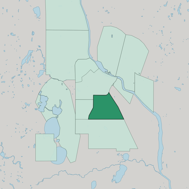
Where to stay in Phillips
Each area has its own feel; here's who each one suits.
Phillips is a residential grid, so most visitors book beds a short ride away rather than inside it. The neighbourhood works best as a base for art and heritage, with the American Swedish Institute on Park Avenue and the galleries of the Minneapolis Institute of Art just across into Whittier. Weigh two zones.
Franklin Avenue puts you near the Institute; the Whittier edge near the art museum suits gallery days over quiet nights in central Minneapolis.
About Phillips
What are the main landmarks in Phillips?
The neighbourhood's anchor is the American Swedish Institute, the turreted Turnblad Mansion on Park Avenue that keeps a Swedish immigrant collection and a courtyard café. On Phillips's western edge, across Third Avenue in neighbouring Whittier, stands the Minneapolis Institute of Art, whose free galleries pull steady foot traffic into this side of Minneapolis. Two draws frame the area.
One is Nordic heritage, the other a civic art museum, and together they give a quiet residential grid two landmarks worth the walk.
What is the history of Phillips?
Phillips grew out of platting that followed the 1849 organisation of the wider Minneapolis area, taking its name from the abolitionist Wendell Phillips. Streetcar lines along Franklin Avenue and Lake Street drew rows of frame houses and a wave of Scandinavian settlement, whose most visible mark is the American Swedish Institute. Immigrants shaped the grid.
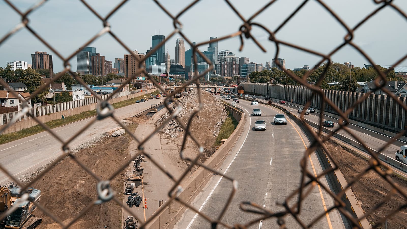
Later decades brought Interstate 35W through its eastern margin, cutting the neighbourhood's older street pattern and reshaping how Phillips joins the rest of the city.
Where is Phillips?
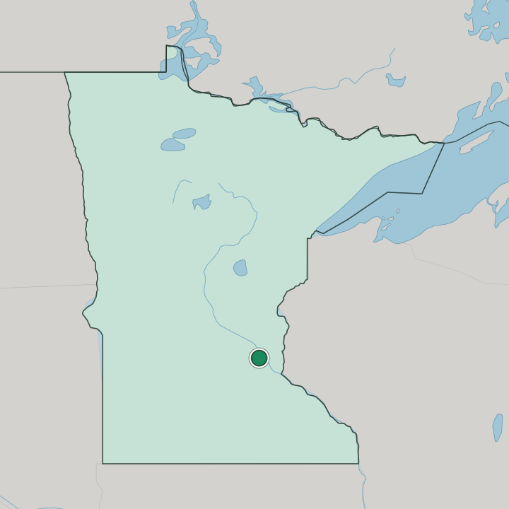
Phillips sits on the south side of Minneapolis. Bounded roughly by Franklin Avenue to the north and Lake Street to the south, the neighbourhood fills a flat, walkable grid of about 1.57 square kilometres, hemmed by Whittier to the west and Powderhorn to the south-east in a temperate inland setting. The land runs level.
Interstate 35W clips its eastern flank.
Good for
More areas in Minneapolis
Updated July 2026