United Arab Emirates
Umm al Qaywayn, United Arab Emirates — Towns & Travel Guide


Umm al Qaywayn is the quietest of the United Arab Emirates, a fishing emirate on the Persian Gulf north of Dubai.
About Umm al Qaywayn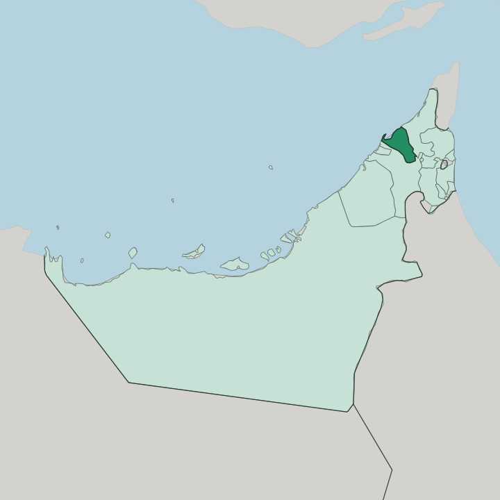
Towns & cities in Umm al Qaywayn
Pick a town or city — each links to where to stay.
The capital, Umm al Qaywayn city, is the natural base, strung along the Khor al Beidah peninsula where the fort and the old harbour still stand. Rooms here are in short supply. Most visitors settle near the beach and the lagoon on the seaward side, within reach of Dreamland Aqua Park and the mangrove channels used for kayaking.
Inland, the oasis town of Falaj Al Mualla sits among date palms roughly a half-hour from the coast, a slower alternative to the shore. You are close to Dubai here without being in it. Choose the city for the water and the history; choose the oasis for the quiet.
About Umm al Qaywayn
Fishing built this emirate, and the sea still defines it.
What is Umm al Qaywayn known for?
Umm al Qaywayn is the least populous of the seven emirates, and the one least given over to towers and malls. Its old town sits on a slim peninsula between the open Persian Gulf and the Khor al Beidah lagoon, whose mangroves and mud flats draw flamingos and other waterfowl. Just offshore lies Siniyah Island, where archaeologists uncovered the oldest known pearl-fishing town in the Gulf and an early Christian monastery.
Dreamland Aqua Park pulls in day-trippers. Most people come for the calm.
Where is Umm al Qaywayn?
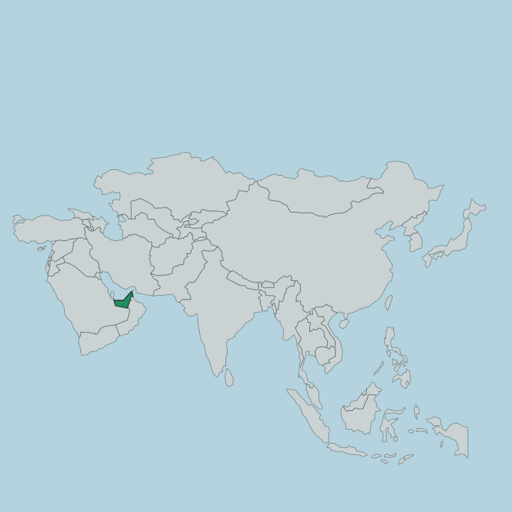
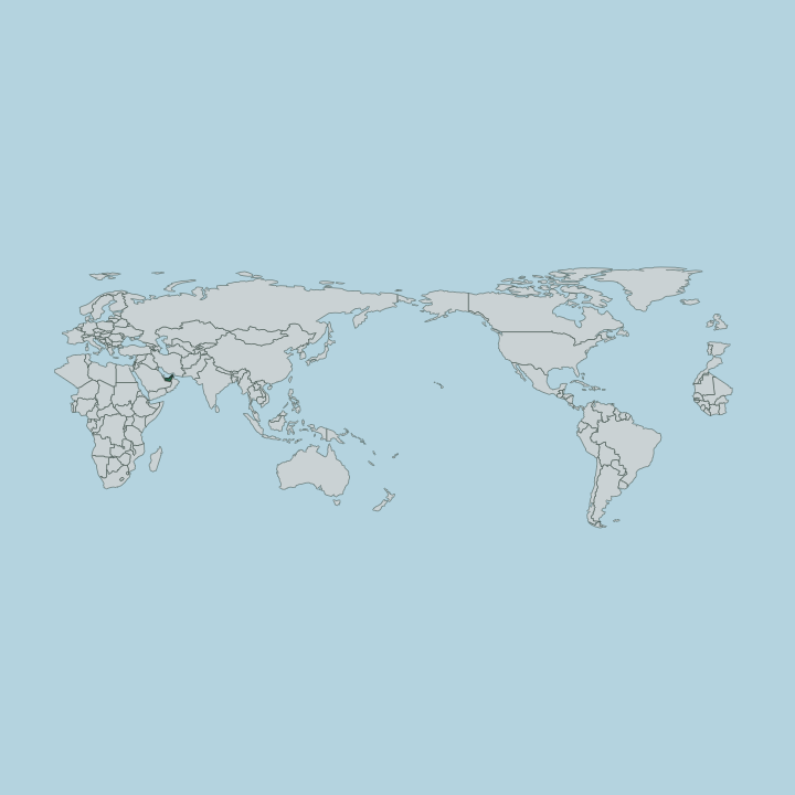
Umm al Qaywayn is one of the seven emirates that make up the United Arab Emirates, wedged along the coast in the north of the country. Umm al Qaywayn covers little ground. Only Ajman covers less ground among the emirates, and none holds fewer people.
The land is flat, a stretch of coastal plain and low interior sand that never rises far above the tide, running back from the shore toward the desert interior. Its capital and largest city occupies the slender Khor al Bidiyah peninsula, with the open Persian Gulf on one side and a sheltered lagoon on the other. The emirate meets Sharjah to the south-west and Ras Al Khaimah to the north-east, with Ajman close by along the same crowded coast.
Its defining natural feature is Khor al Beidah, the largest and least disturbed of the lagoons in the northern emirates. Mangroves, sabkha salt flats, and tidal mud fill the khor, and behind them Siniyah Island shelters the water from the Gulf. Between the island and the mainland spread the sand and mud flats where wading birds feed.
Inland, past the coastal strip, the ground turns to open desert, and the oasis of Falaj Al Mualla marks the emirate's furthest reach from the sea. The coast is the whole story here.
What is Umm al Qaywayn like?
Life in Umm al Qaywayn has always turned on the sea. Before oil, the men of the emirate dived for pearls off Siniyah Island and fished the shallow waters of the Persian Gulf, and the dhow harbour of the old town still works. That maritime past is not a museum piece here.
The ruling Al Mualla family descends from the Al Ali tribe, who first settled Siniyah and then crossed to the mainland when the island's wells ran dry. Arabic is the everyday language, as across the emirates. The pace sets this emirate apart from its neighbours.
Where Dubai and Sharjah built upward, Umm al Qaywayn kept its low skyline, its fort, and its fishing quays, and it draws travellers who want the older rhythm of the coast. Falaj Al Mualla, the inland oasis, holds the farming side of that heritage, with thousands of date palms watered by aquifers from the interior. Weekends bring families to Dreamland Aqua Park and to the beaches and mangroves of the lagoon.
It stays unhurried. The emirate wears its history plainly, in stone forts and wooden boats rather than in spectacle.
What is the history of Umm al Qaywayn?
The story reaches far back. Siniyah Island held a pearl-fishing town and an Eastern Christian monastery that flourished between the late sixth and mid eighth centuries, long before the modern emirate existed. Umm al Qaywayn itself was founded in 1775, when Sheikh Majid Al Mualla established it as an independent sheikhdom after the Al Ali tribe abandoned Siniyah for the mainland and its steadier water.
The fort and defensive wall they raised at the harbour anchored the new capital. In 1971 the emirate joined the United Arab Emirates at its founding, one of the seven that bound together after the British withdrew from the Gulf.
What is the climate of Umm al Qaywayn?
Umm al Qaywayn has a hot desert climate, and rain barely registers from one year to the next. Summers are brutal. From June through September the daytime heat climbs past 40 degrees, and the humidity off the Persian Gulf makes the coast feel heavier still.
Winters are the reward, warm and dry and mild enough for the beach and the mangroves, which is when most travellers come. The lagoon and the Gulf keep the shore a touch more humid than the open desert behind it. Sun is the constant.
How do you get to Umm al Qaywayn?
The emirate keeps no busy airport of its own, so nearly everyone drives in. It sits between Ajman and Ras Al Khaimah on the northern coast, and the E11 coastal highway runs straight to it from Dubai in well under an hour. Dubai International and Sharjah are the practical arrival airports, each a short drive down that same road.
A public bus links the emirate to Dubai for those without a car. The rest you cover on wheels. Once here, a car is what reaches the lagoon, the oasis of Falaj Al Mualla, and the beaches beyond the old town.
Good for
Updated July 2026