Canada · Ontario · Toronto
Humber Summit, Toronto — Area Guide & Where to Stay
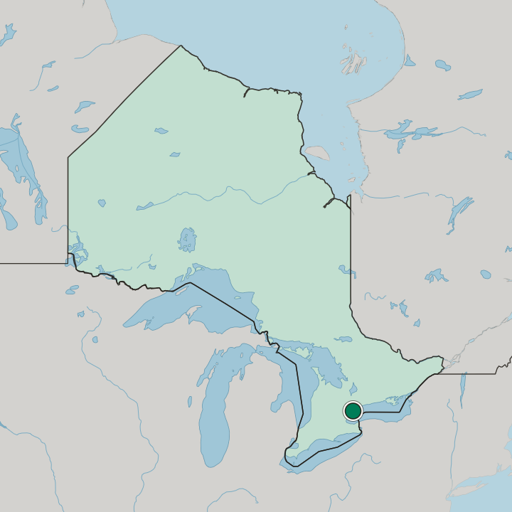
The river makes the west edge. Humber Summit is among Toronto's northernmost neighbourhoods, in North York, between the Humber River and Highway 400.
Hotel links are affiliate links: booking through them may earn us a commission, at no extra cost to you. It never affects how places are ranked. How this works


Where to stay in Humber Summit
Where the beds are, and what that means for the visit.
Highway 400 is the practical anchor. Anyone basing here trades the middle of the city for one of its northernmost neighbourhoods, where Steeles Avenue and Finch Avenue carry the through-traffic and the Humber River softens the western flank. Quieter ground lies west.
Rooms are scarce inside the boundaries themselves, so the working choice is between the Highway 400 approach on the east and the Humber River side of Humber Summit on the west.
Find hotels in Humber Summit
Direct booking searches for these neighbourhoods.
Humber River flank
The western boundary of Humber Summit follows the Humber River instead of a survey line, so the blocks nearest it face the water corridor. Few places to stay nearby — book ahead.Find hotels in Humber River flankdrivers joining Highway 400 north of Finch AvenueHighway 400 approach
Highway 400 forms the eastern edge of Humber Summit and carries traffic up to Steeles Avenue, which makes this the side that suits arrivals by car. Few places to stay nearby — book ahead.Find hotels in Highway 400 approachHotel links are affiliate links: booking through them may earn us a commission, at no extra cost to you. It never affects how places are ranked. How this works
About Humber Summit
What are the main landmarks in Humber Summit?
Water, not architecture. Nothing monumental is recorded inside Humber Summit, so the Humber River does the work of a landmark, drawing a green line along the whole western boundary of the neighbourhood. Highway 400 answers it on the east.
Between those two the ground is ordinary North York, with Steeles Avenue marking the top of the district and Finch Avenue the bottom, and the river the only edge that follows the land instead of a survey line.
What is the history of Humber Summit?
The name reads as a description. It pairs the Humber River, which the western boundary follows, with a word for high ground, and no founding year is recorded for the neighbourhood itself. Steeles Avenue closes the top.
Finch Avenue fixes the southern limit and Highway 400 the eastern one, so the modern outline of this corner of North York is drawn by three straight lines and one river.
Where is Humber Summit?
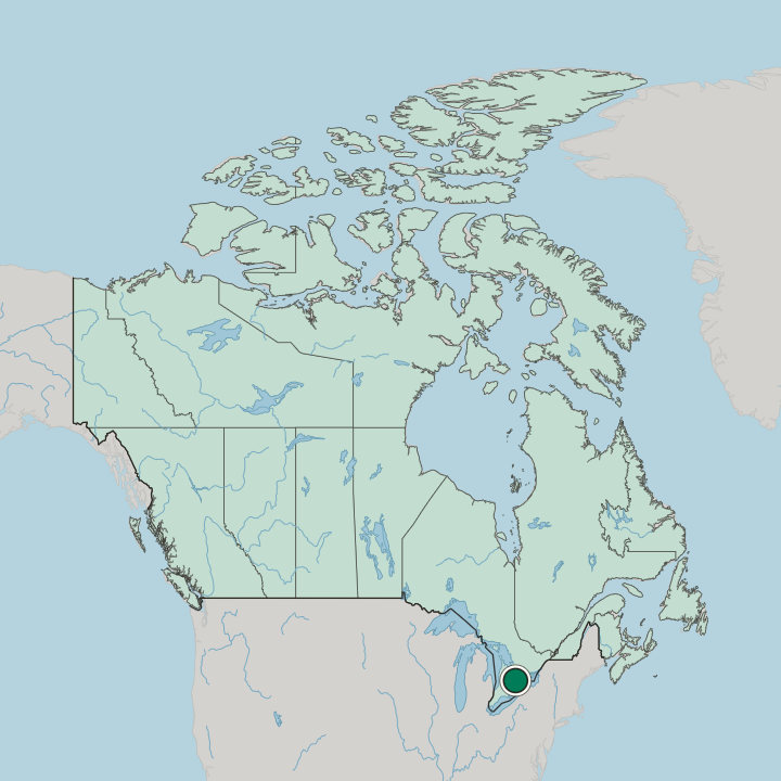
Water west, motorway east. The Humber River traces the boundary on one side while Highway 400 runs the other, with Steeles Avenue closing the north end.
Common questions
What is the best area to stay in Humber Summit?
Humber River flank: stays that want the Humber River rather than the arterial roads. Highway 400 approach: drivers joining Highway 400 north of Finch Avenue.
More areas in Toronto
Updated October 2026