Canada · Ontario
Where to Stay in Toronto, Ontario


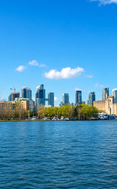
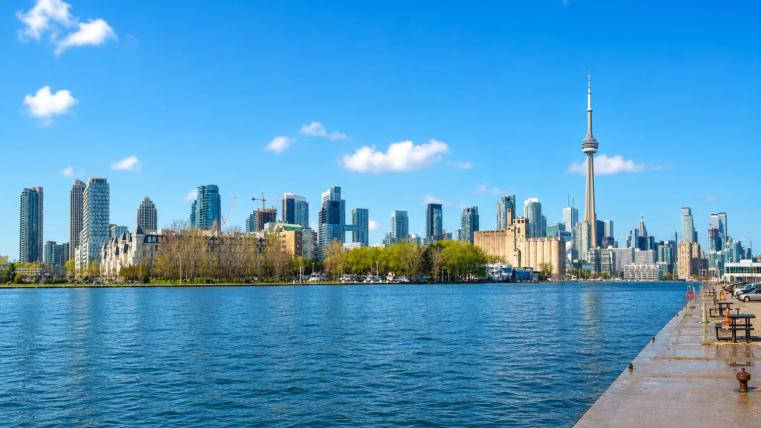
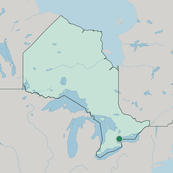
Toronto stands on its harbour at the shore of Lake Ontario, the largest city in Canada and the capital of Ontario, known for the CN Tower.
Find your area →
Where to stay in Toronto
Where you base yourself shapes the visit — here's the character of each area.

South Parkdale
South Parkdale is one of the district names Toronto carries in Ontario, and it reaches the map without a landmark list attached to it.South Parkdale →
Morningside
Morningside is a named district of Toronto, recorded in the gazetteer without the descriptive detail that fuller entries carry.Morningside →
Rustic
Rustic is a neighbourhood of Toronto, in Ontario, Canada, listed among the city's named districts.Rustic →

High Park North
High Park North takes its name from the park beside it, a Toronto neighbourhood running north from Bloor Street to Annette Street.High Park North →

Flemingdon Park
Within the former City of North York, Flemingdon Park carries The Aga Khan Museum among the neighbourhoods of Toronto, Ontario.Flemingdon Park →

The Beaches
The Beaches is a Toronto neighbourhood named for its four beaches on Lake Ontario, bounded inland by Kingston Road and Dundas Street.The Beaches →

Thorncliffe Park
Thorncliffe Park is a Toronto neighbourhood that belonged to the Borough of East York before the borough became part of the city.Thorncliffe Park →

Moss Park
Moss Park is a residential neighbourhood of downtown Toronto, set between Jarvis Street and Parliament Street in Ontario, Canada.Moss Park →

Little Portugal
Portuguese storefronts set the tone. Little Portugal runs west of downtown Toronto, its shops strung along Dundas Street West and College Street.Little Portugal →

Roncesvalles
Roncesvalles, or Roncy Village, is a Toronto neighbourhood strung along Roncesvalles Avenue between High Park and the Lansdowne Avenue rail corridor.Roncesvalles →

Mount Dennis
Mount Dennis runs along Eglinton Avenue in Toronto, a district of the former township of York long known for the Kodak Heights film works.Mount Dennis →

Dufferin Grove
Dufferin Grove is a neighbourhood west of downtown Toronto, bounded by Bloor Street West, Ossington Ave, College Street and Dufferin Street.Dufferin Grove →

Casa Loma
A castle gives the district its name. Casa Loma stands in midtown Toronto, a Gothic Revival mansion finished in 1914 on high ground above Lake Ontario.Casa Loma →

Regent Park
Regent Park is a downtown Toronto neighbourhood laid out in the late 1940s as a public housing project on ground taken from Cabbagetown.Regent Park →

Danforth
Danforth is a district of Toronto with a station under its own name and, in Ted Reeve Arena, one recorded building to fix it on the map.Danforth →All neighbourhoods (48)


University
University is a neighbourhood in downtown Toronto, built around the University of Toronto and the museums that line its edges.University →

East York
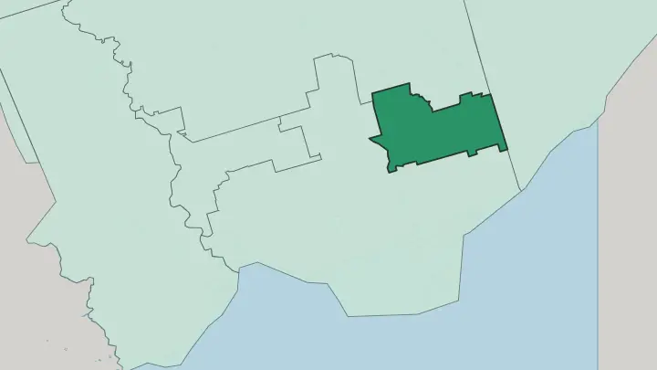
East York is a former Toronto borough east of the Don River, a low residential district of brick bungalows and tree-lined streets.East York →
Kensington Market
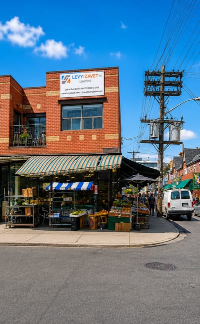
Kensington Market is a compact multicultural neighbourhood in central Toronto, west of the Art Gallery of Ontario.Kensington Market →
Old Toronto
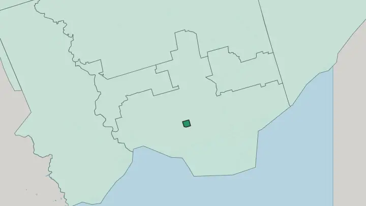
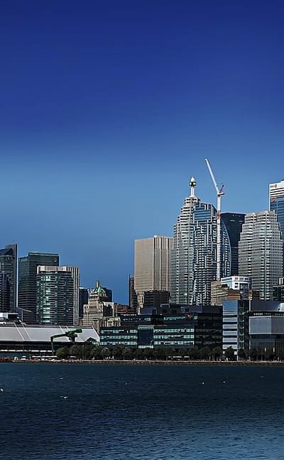
Old Toronto is the pre-1998 core of Toronto, holding the CN Tower, Union Station and the Yonge Street spine.Old Toronto →
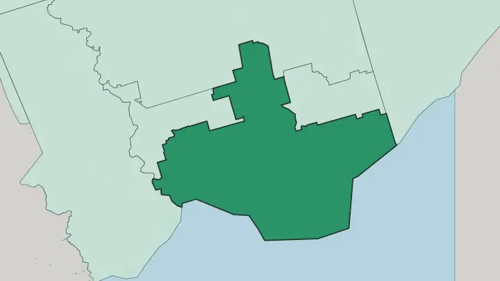
York
York is a residential district of Toronto in Ontario, Canada, gathered around Saint Mary's Polish Church.York →
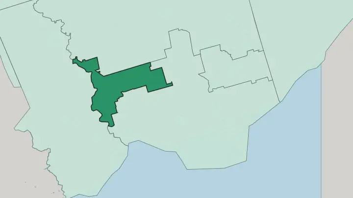
Woburn
A rectangle of Scarborough streets. Woburn runs from Highway 401 down to Lawrence Avenue in eastern Toronto, with Curran Hall filling its eastern part.Woburn →
Rouge
Rouge is Toronto's largest neighbourhood by surface area, most of it undeveloped land beside Rouge National Urban Park in former Scarborough.Rouge →
L'Amoreaux
A Huguenot name on the map. L'Amoreaux takes it from Josue L'Amoreaux, a loyalist settler, and lies between Victoria Park Avenue and Kennedy Road.L'Amoreaux →
Malvern
Malvern dates from 1856 and forms a residential neighbourhood inside the city of Toronto, in Ontario, Canada.Malvern →
Mimico
Mimico stands on the Lake Ontario shore within Toronto, a former independent municipality that ran its own affairs from 1911 to 1967.Mimico →
Bendale
Bendale is a residential district of Toronto in Ontario, Canada, recorded as a named neighbourhood with Scarborough and Woburn among its near neighbours.Bendale →
York University Heights
A campus district. York University Heights takes its name from the university whose stadium and art gallery stand inside it, within Toronto.York University Heights →
West Hill
West Hill sits high above Highland Creek. The name marks its elevated ground on the ravine's west side, inside Toronto's former suburb of Scarborough.West Hill →
Don Valley Village
Don Valley Village is a Toronto neighbourhood in the former suburb of North York, bisected by Don Mills Road on hill and dale ground north of Highway 401.Don Valley Village →
Weston
A village Toronto swallowed. Weston's historic core still runs along Weston Road just north of Lawrence Avenue, in the northwest of the city.Weston →
Hillcrest Village
Four roads draw the box. Hillcrest Village sits inside North York, with Steeles closing the north and Finch the south of a Toronto neighbourhood.Hillcrest Village →
Trinity-Bellwoods
Trinity-Bellwoods is an inner city neighbourhood of Toronto, bounded by Bathurst Street, College Street, Queen Street West and Dovercourt Road.Trinity-Bellwoods →
Lansing-Westgate
A store and a post office first. Lansing-Westgate grew from the corner of Yonge Street and Sheppard Avenue into a named slice of North York.Lansing-Westgate →
Henry Farm
Henry Farm lies in the north-central part of Toronto, a neighbourhood of the former city of North York with a founding year recorded as 1806.Henry Farm →
Taylor-Massey
Taylor-Massey is a Toronto neighbourhood named for the creek that runs through Scarborough and East York into the Don River.Taylor-Massey →
Oakridge
Oakridge is a Toronto neighbourhood in Scarborough, bounded by Victoria Park Avenue, Warden Avenue, Massey Creek and the CNR rail line.Oakridge →
Highland Creek
Water first, then the name. Highland Creek meanders through a glacial ravine in Scarborough and empties into Lake Ontario.Highland Creek →
Humber Summit
The river makes the west edge. Humber Summit sits at Toronto's northern limit in North York, between the Humber River and Highway 400.Humber Summit →
Yonge-Eglinton
Yonge-Eglinton is the Toronto neighbourhood around the crossing of Yonge Street and Eglinton Avenue, the middle of Midtown Toronto.Yonge-Eglinton →
New Toronto
New Toronto is a Toronto neighbourhood and former lakeshore municipality, planned from 1890 as an industrial town facing Lake Ontario.New Toronto →
Forest Hill South
Forest Hill South is one of the two parts of Forest Hill, a former village in Midtown Toronto amalgamated into the city in 1967.Forest Hill South →
Long Branch
Long Branch is a Toronto neighbourhood in Ontario, dating from 1884, with its own GO Transit stop on the Lakeshore West line.Long Branch →
Guildwood
Guildwood dates from 1957. It lies in the Scarborough district of Toronto, with Guildwood GO Station standing on Kingston Road.Guildwood →
Etobicoke
Etobicoke is the westernmost former borough of Toronto, spread along Lake Ontario west of the Humber River.Etobicoke →

Yorkville
Yorkville is a museum-lined district of Toronto in Canada, gathered near the Royal Ontario Museum.Yorkville →
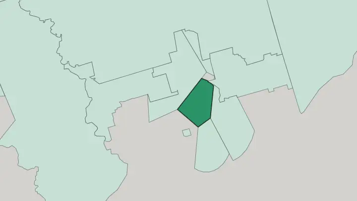
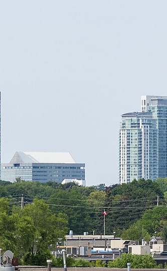
Scarborough
Scarborough is an eastern district of Toronto, in Ontario, holding the Holy Trinity Armenian Apostolic Church.Scarborough →

Bridle Path
Bridle Path is a residential district of Toronto, in Ontario, near the Ontario Science Centre and St David's Anglican Church.Bridle Path →
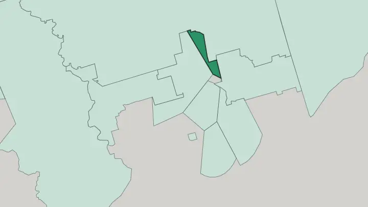
North York
North York is a former borough of Toronto, in Ontario, holding the Gibson House and the Moatfield Ossuary.North York →

Forest Hill
Forest Hill is one of Toronto's wealthiest residential districts, a wooded enclave of grand houses north of the downtown core.Forest Hill →
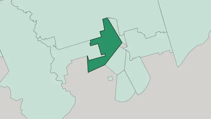
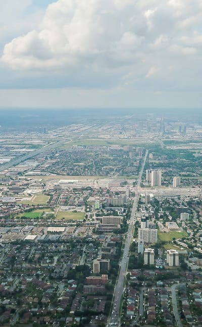
Jane and Finch
Jane and Finch is a North York neighbourhood in northwest Toronto, centred where Jane Street crosses Finch Avenue West.Jane and Finch →
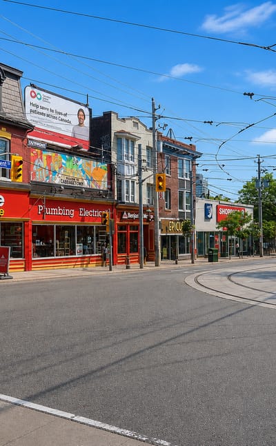
Cabbagetown
Cabbagetown is Toronto's Victorian rowhouse quarter, a leafy residential district of brick porches east of the downtown core.Cabbagetown →About Toronto
What is Toronto known for?
Toronto is known as the largest city in Canada and the capital of Ontario. The CN Tower stands over the harbour at the shore of Lake Ontario, the city's signature against the skyline, with the Royal Ontario Museum and the Art Gallery of Ontario among its great collections. Size and mix define it.
A centre of business, finance and the arts, it is one of the most multicultural cities in the world, drawing people from around the globe.
What are the main landmarks in Toronto?
Toronto's landmarks range from the modern to the historic. The CN Tower rises over the lakefront beside Ripley's Aquarium of Canada, the tallest mark on the skyline and the city's signature. History holds its own.
Casa Loma stands on the hill above the centre, old Fort York guards the waterfront, and the Royal Ontario Museum, the Art Gallery of Ontario and the Gardiner Museum gather the city's collections across the core.
What is the history of Toronto?
Toronto's origins on the harbour of Lake Ontario reach back to 1750. The lake drew the first settlement. A trading and military post grew on the sheltered water, the era still marked by old Fort York near the waterfront, at a natural landing on the northwestern shore of the lake.
Water made the place. From that lakeside post the town spread inland and along the shore, taking the name City of Toronto as it grew. Growth never really stopped.
The city rose to become the capital of Ontario and the most populous city in Canada, its skyline later crowned by the CN Tower above the harbour. Trade and arrival shaped it. Wave after wave of newcomers made Toronto one of the most multicultural cities in the world, a character built over generations on the lakeshore.
The harbour that started it still fronts the city.
Where is Toronto?
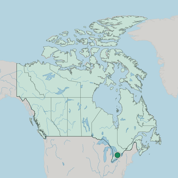
Toronto sits on a harbour at the northwestern shore of Lake Ontario, in the province of Ontario. The lake sets its edge. The city spreads back from the water across a broad plain, its downtown pressed to the shore and its suburbs reaching inland to form the Greater Toronto Area.
Water lies to the south. It anchors the most heavily settled corner of Canada, along the northern rim of Lake Ontario.
What is the climate of Toronto?
Toronto has a temperate climate softened by Lake Ontario at its shore. Summers in Toronto grow warm and muggy. The lake holds the worst of the cold at bay in winter, so the city runs a touch milder than the inland country, though snow and freezing spells still arrive between the seasons.
The water works both ways. It cools the hot days of summer and eases the depth of winter along the shore.
How do you get to Toronto?
Most visitors fly into Toronto, the main gateway into Canada. Flights pour into the city. From the centre, road and rail spread across the Greater Toronto Area and along the shore of Lake Ontario, linking the largest city in the country to the rest of Ontario and beyond.
The lakefront ties it together. Trains and highways follow the water east and west from the harbour.
Good for
More cities in Ontario
Updated September 2026