Ecuador · Provincia de Pichincha · Quito
Jipijapa, Quito — Area Guide & Where to Stay
Jipijapa is an urban parish of Quito, Ecuador, named after the coastal town whose weavers make the hats the world wrongly calls Panamas.
Hotel links are affiliate links: booking through them may earn us a commission, at no extra cost to you. It never affects how places are ranked. How this works


Where to stay in Jipijapa
Where visitors usually base themselves, and why.
Jipijapa is one of the better parishes in Quito for eating, with restaurants in national and Latin American cooking at moderate prices, alongside small shops, pharmacies and hairdressers. It sits between two big parks. La Carolina lies on one side and the Bicentenario, laid out on the old airport, on the other, which makes the parish a walkable middle ground in the north of the city.
About Jipijapa
What are the main landmarks in Jipijapa?
The Plaza de Toros Quito stands in Jipijapa and is the parish's largest single building. Transport left a mark too. Until 2018 the Estación Norte of the Trolebús system, known as La Y, operated here before moving out to El Labrador, and the avenues Amazonas, De Los Shyris, 6 de Diciembre and Eloy Alfaro all run the length of the parish north to south.
What is the history of Jipijapa?
The parish carries the name of Jipijapa in the coastal province of Manabí, where the straw hats known everywhere as Panama hats are actually woven. It is one of thirty-three parishes making up the capital. Its own growth followed the avenues laid north from the old centre, and the closing of the airport that became the Bicentenario changed what the northern end of the parish looks onto.
Where is Jipijapa?
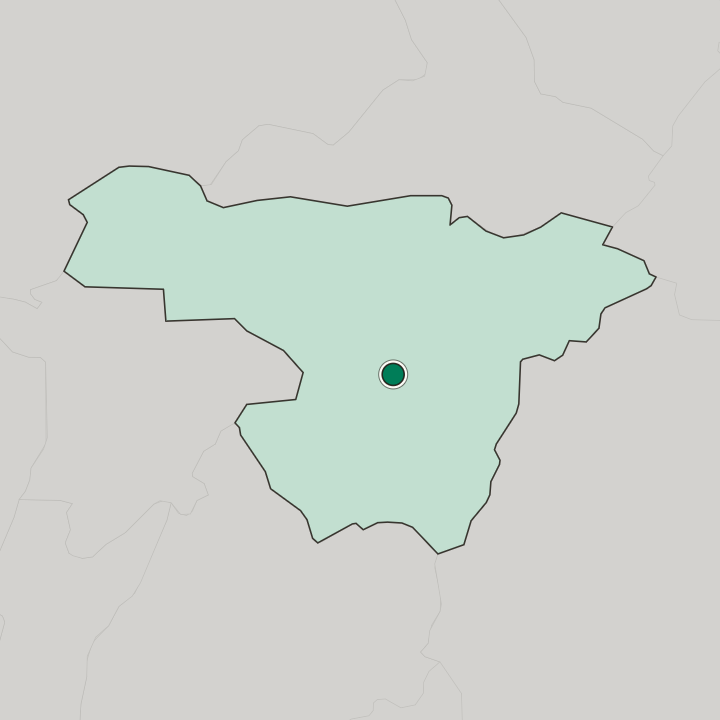
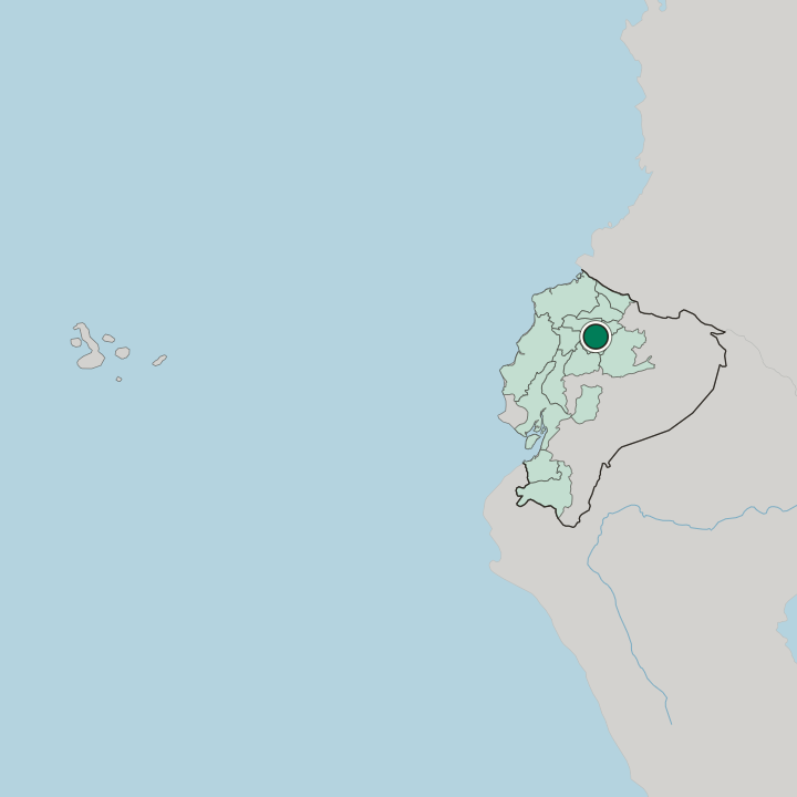
Jipijapa lies in the north-east of Quito, with Kennedy to the north, Rumipamba west and Iñaquito south. Four avenues cross it north to south and three run east to west, among them Gaspar de Villarroel, Río Coca and Tomás de Berlanga. The parish is compact.
More areas in Quito
Updated October 2026