Spain · Comunitat Valenciana · Valencia
Betero, Valencia — Area Guide & Where to Stay
Beteró is a barrio of Valencia in the Poblados Marítimos district whose northern third is the Virgen del Carmen group, built after the Turia flood of 1957.
Hotel links are affiliate links: booking through them may earn us a commission, at no extra cost to you. It never affects how places are ranked. How this works


Where to stay in Betero
How the choice of base plays out on the ground.
The beach quarters are next door. Beteró lies east of the city, bordering La Carrasca and Malvarrosa to the north, Cabañal-Cañamelar to the east and Illa Perduda to the south, so the sand is a short walk. The housing is the interest here.
Six hundred and fourteen social dwellings stand in the Virgen del Carmen group, along with shops and a school. Valencia holds the rooms.
About Betero
What are the main landmarks in Betero?
The Virgen del Carmen group is a piece of architecture, not just housing. It sits on a quarter-ellipse of ground with its long axis running north to south, most of its linear blocks laid east to west, and towers on a three-armed plan set along the curved perimeter and a second line behind. Three block types make it up.
A is a linear block of four or five storeys with eight dwellings to a floor, B is the same but longer with fourteen, and D is a concentrated block of three to five storeys with three. The detailing is deliberate. Prefabricated pieces and exposed concrete carry wide terraces on both sides, made possible by porticoes set at right angles to the facade, and the entrance halls stand free with curved walls and a rough finish.
Traffic is kept off the paths, which is the Athens Charter applied.
What is the history of Betero?
A flood set this quarter going. The Turia broke its banks on 14 October 1957, and four days later the new housing ministry approved the Plan Riada, which provided for two thousand five hundred dwellings between the Valencia council and the Obra Sindical del Hogar. The Poblados Marítimos needed them most.
That district lies lowest in the municipality and had taken the worst of the water, and the housing shortage there was already acute. One owner held the land. The French firm Saint Gobain, Chauny et Cirey had bought it against a possible factory extension, which made the expropriation simple, and the site was valued in October 1958.
Rural tenants delayed it a little. The ground was classed as urban reserve and had to be reclassified as buildable, and the area around the group was slow to follow because market-garden land was expensive, irrigation channels and railways cut across it, and the Cabañal cemetery lay next door. GODB drew the plan.
Fernando Martínez García-Ordóñez and Juan María Dexeus Beatty designed six hundred and fourteen dwellings, which turned out to be the only thing the Obra Sindical built under the whole plan.
Where is Betero?
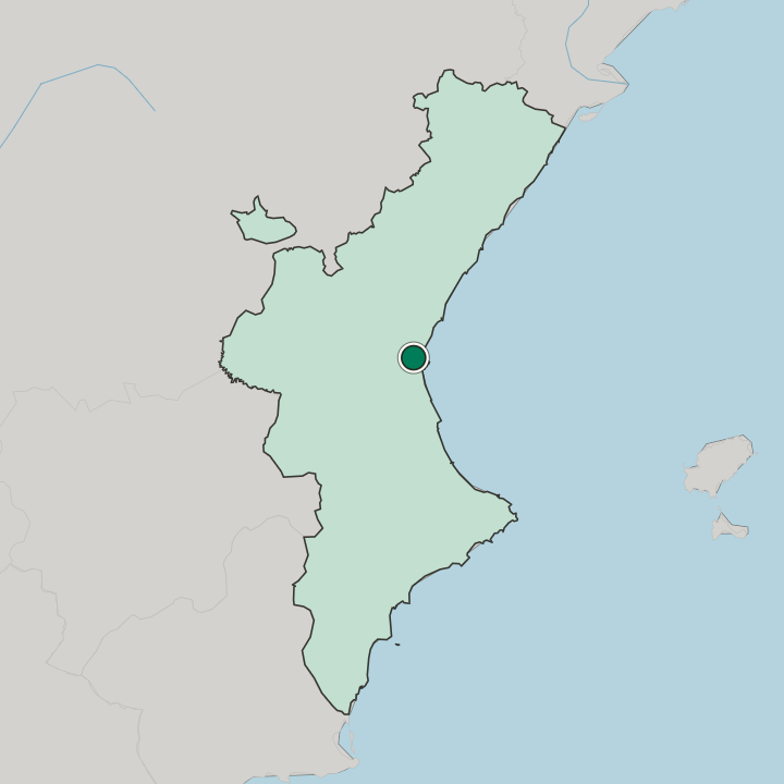
Beteró lies east of Valencia in the Poblados Marítimos district, with La Carrasca and Malvarrosa to the north, Cabañal-Cañamelar to the east and Illa Perduda to the south.
Good for
More areas in Valencia
Updated September 2026