Finland · Varsinais-Suomi · Turku
Kähäri, Turku — Area Guide & Where to Stay
Kähäri is a wooden-house district north of central Turku, Finland, grown around a match factory whose hill is still called Tikkumäki.
About Kähäri


Where to stay in Kähäri
Each area has its own feel; here's who each one suits.
What gives Kähäri its character is the building stock: wooden detached houses put up at the end of the nineteenth century and the start of the twentieth, on a scale the rest of Turku has largely lost. Apartment blocks arrived in the 2000s. They stand along Satakunnantie on the old match factory ground, which leaves the wooden streets behind them much as they were.
About Kähäri
What are the main landmarks in Kähäri?
Tikkumäki is the hill, named for the match factory that stood on it and gave the district its work for a generation. That works shut in the 1920s, and Auran Rautateollisuus Oy took over the premises afterwards. The northern part of the district is called Karjalaiskylä, the Karelian village, after the people resettled there when the war ended.
The school opened in 1909.
What is the history of Kähäri?
This ground was once part of the Kähärlä estate. Settlement thickened from the 1870s, after the railway was built nearby, and the match factory became the district's significant employer for as long as it ran. Maaria municipality separated Kähäri from Raunistula as a school district of its own in 1906.
Karelian evacuees came after the war.
Where is Kähäri?
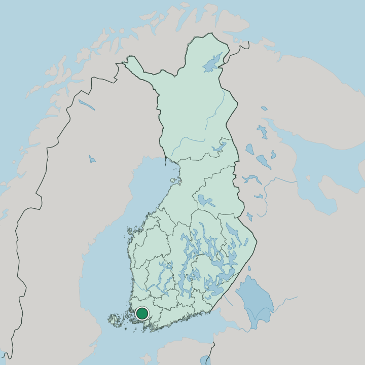
Kähäri sits north of central Turku in the Länsikeskus major district, bounded on the north-east by Satakunnantie and on the west by Vakka-Suomentie. Pohjola, Pitkämäki, Ruohonpää, Vätti, and Raunistula adjoin it. Like its neighbours it belonged to Maaria before Turku took the area in.
More areas in Turku
Updated September 2026