Finland · Varsinais-Suomi · Turku
Kastu, Turku — Area Guide & Where to Stay
Kastu is a small district a short way north of central Turku, Finland, set between the Tampere highway and Raunistulan puistotie with no industry in it.
About Kastu


Where to stay in Kastu
Not every neighbourhood fits every trip — here's what each one is good for.
Kastu was built for living rather than working, and the district has put its effort into amenity and services close to the centre. No industry stands here at all. That makes it quieter than the districts around it while keeping the centre of Turku within easy reach, which is the whole argument for the place.
About Kastu
What are the main landmarks in Kastu?
Kastu keeps no monument of its own, but the names around it carry the old parish: Maarian kirkko and the Maarian VPK both stand nearby and both belong to the municipality this ground came from. The Kastu school is the district's own memory. It ran in neighbouring Vätti from 1970 until 2016, first as Raunistulan yhteislyseo and at the end as the Kastu upper secondary, and a day nursery of the same name opened on the site in 2019.
What is the history of Kastu?
Kastu still belonged to the Maaria municipality in the 1950s, and the names in the surrounding streets still point back to that parish rather than to Turku. The schools tell the later story. Raunistulan yhteislyseo opened across the highway in Vätti in 1970 and became the Kastu school and then the Kastu upper secondary, until the buildings were demolished in 2016 over indoor air problems and a day nursery took their place.
Where is Kastu?
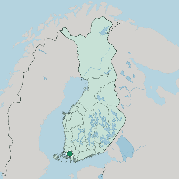
Kastu lies about two kilometres north of the centre of Turku, in the strip between the Tampere highway and Raunistulan puistotie. Takakirves in Kaerla bounds it to the north. Vätti stands across the highway to the west, which is where the district's school stood for nearly fifty years.
More areas in Turku
Updated September 2026