Honduras: Regions, Cities & Travel Guide
Honduras spans Central America from the Caribbean reefs of the Bay Islands to the Pacific shore, with Tegucigalpa as its mountain capital.
Hotel links are affiliate links: booking through them may earn us a commission, at no extra cost to you. It never affects how places are ranked. How this works


Top destinations in Honduras
Cities to start from, then drill into areas and hotels.
 Honduras
Tegucigalpa
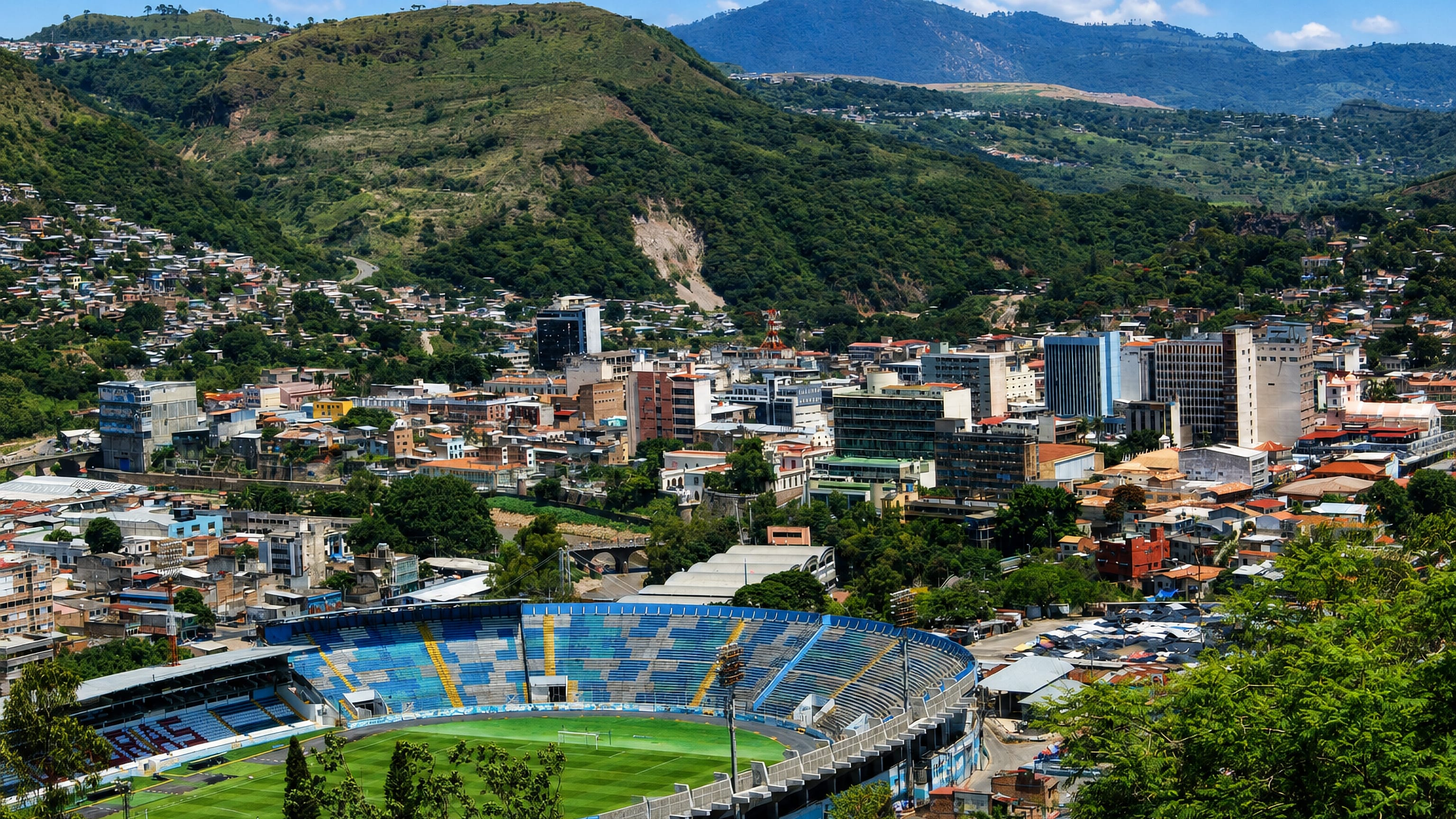
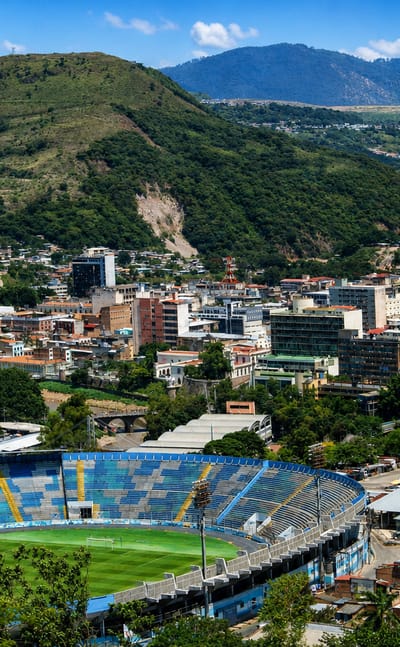
Stone streets climb steep hills in Tegucigalpa, the capital of Honduras, an old mining city known for its colonial churches and hillside setting.Where to stay →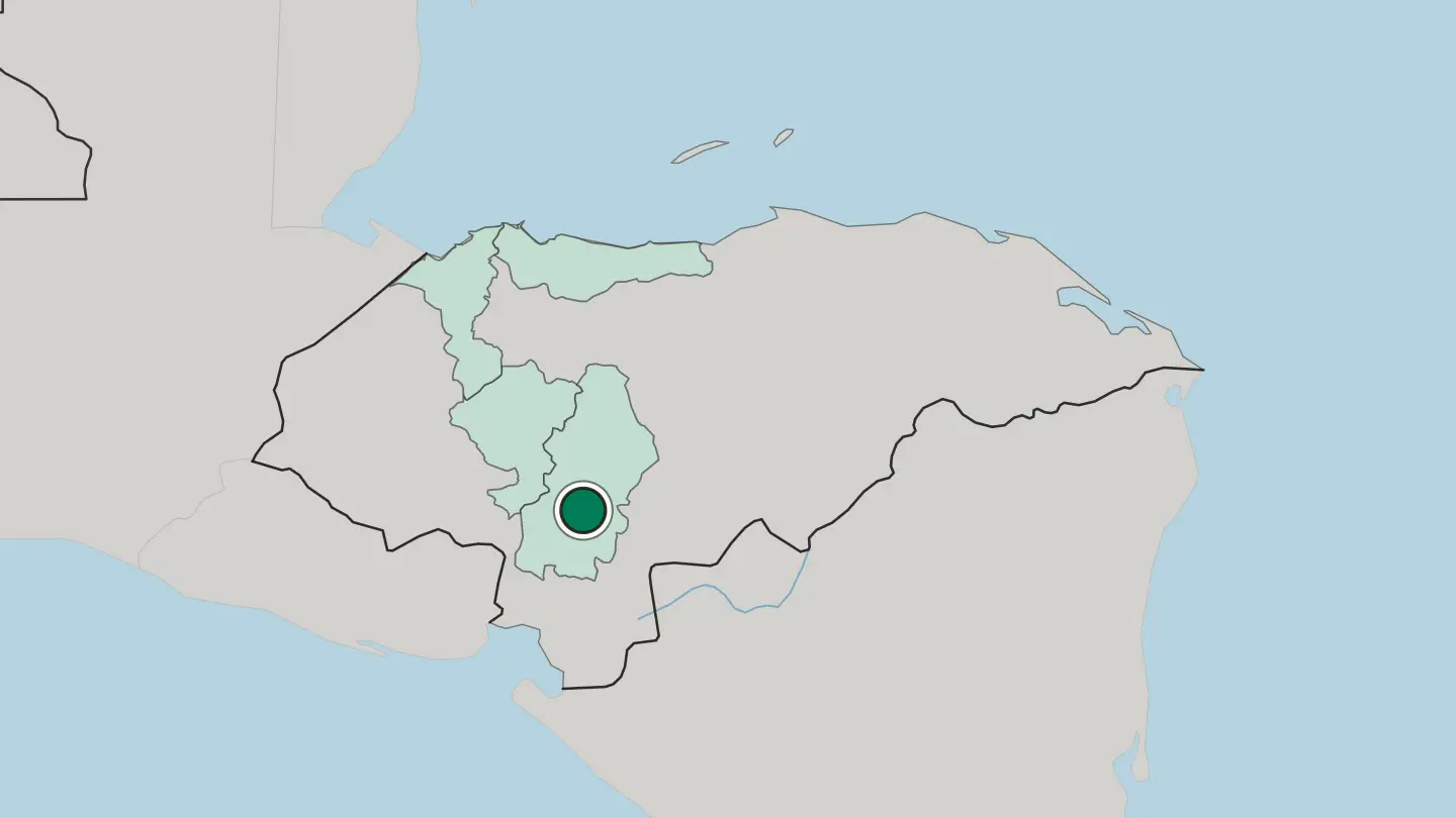
 Honduras
San Pedro Sula
San Pedro Sula is capital of the Departamento de Cortés and Honduras's industrial centre in the Sula Valley. Central America's largest non-capital city.Where to stay →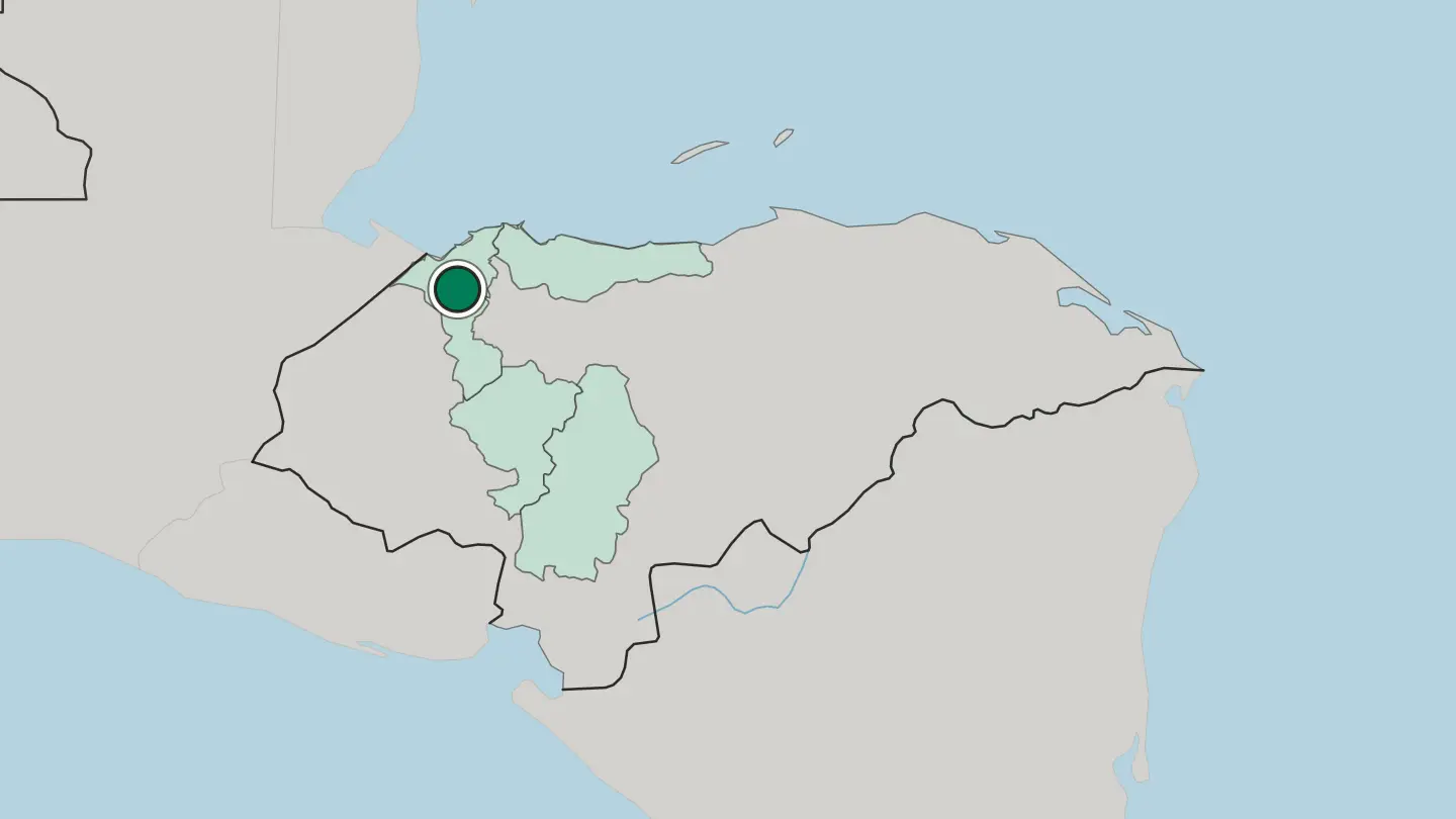
 Honduras
La Ceiba
La Ceiba is a Caribbean port city on the Gulf of Honduras, capital of the Departamento de Atlántida and founded in 1872.Where to stay →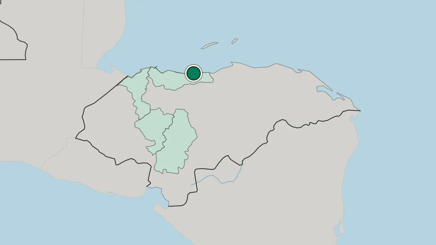
 Honduras
Comayagua
Comayagua is a colonial town of Honduras, founded in 1537 and built around the Immaculate Conception Cathedral.Where to stay →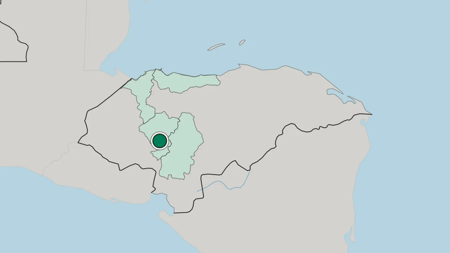
Hotel links are affiliate links: booking through them may earn us a commission, at no extra cost to you. It never affects how places are ranked. How this works
Regions of Honduras
Honduras
Departamento de Atlántida
Atlántida runs along the north Caribbean shore of Honduras, a department created in 1902 with the port city of La Ceiba as its capital.Towns & cities →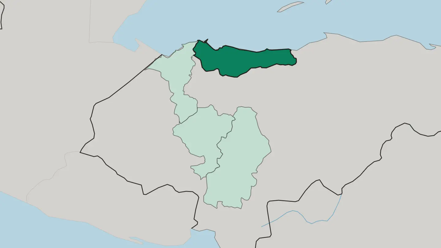 Honduras
Departamento de Comayagua
Departamento de Comayagua is one of the 18 departamentos of Honduras, and takes both its name and its capital from the city of Comayagua.Towns & cities →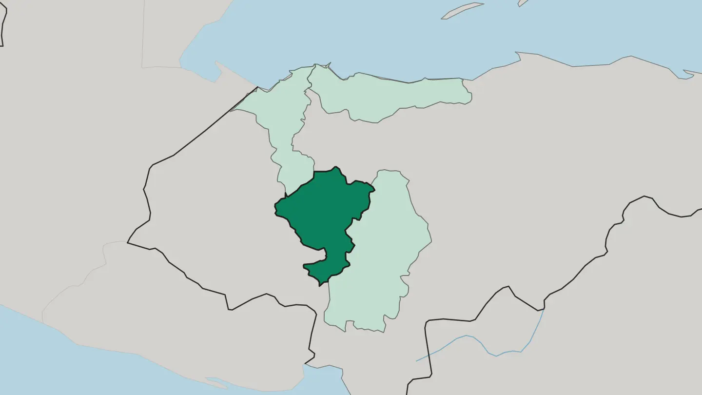 Honduras
Departamento de Cortés
The Sula Valley fills most of Departamento de Cortés, a tropical lowland of Honduras crossed by the Ulúa and Chamelecón rivers.Towns & cities →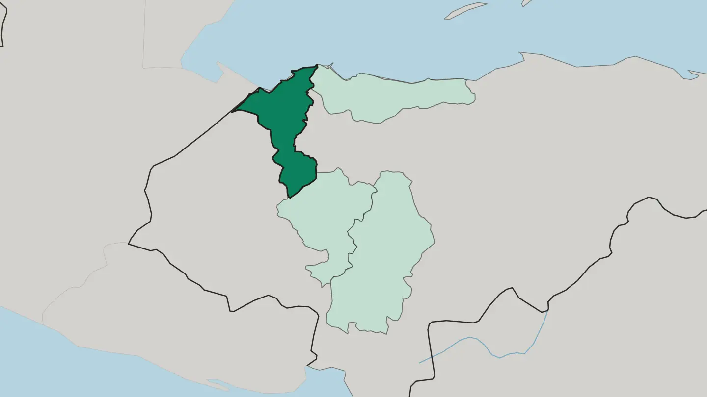 Honduras
Departamento de Francisco Morazán
Francisco Morazán is a highland department of Honduras, holding the capital Tegucigalpa in its folded interior mountains.Towns & cities →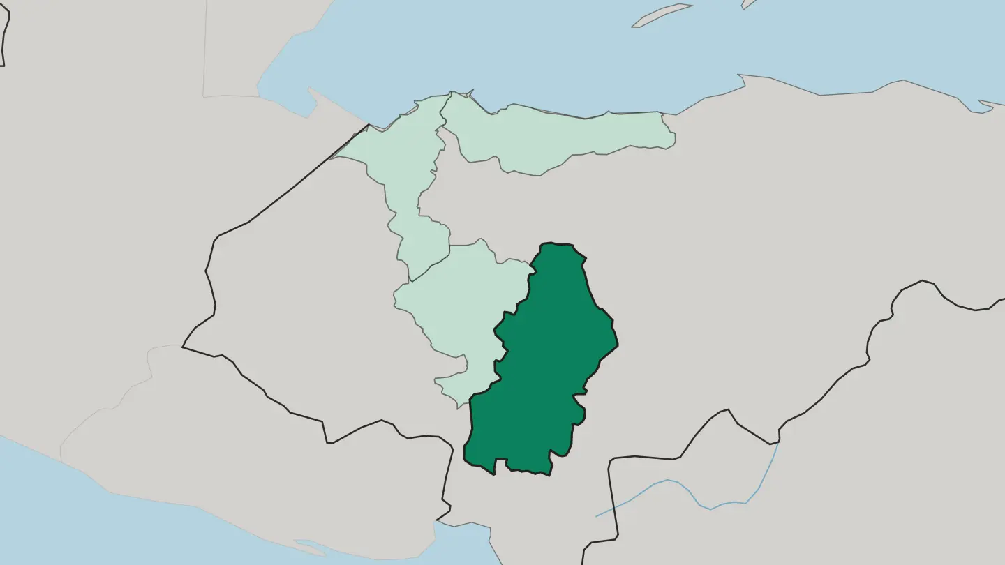
About Honduras
Divers know Honduras first.
What is Honduras known for?
The Bay Islands of Roatán, Utila, and Guanaja sit on the Mesoamerican Barrier Reef, where coral walls draw whale sharks off Utila's southern edge. Inland, the Maya carved Copán in the western hills, its stelae still legible after twelve centuries. The Garifuna keep drum and dance alive along the Caribbean shore, while Pico Bonito's rainforest rises straight behind La Ceiba.
One small country holds reef, ruin, and cloud forest.
Where is Honduras?
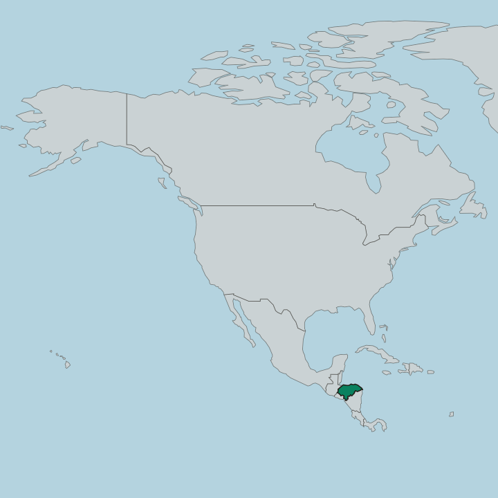
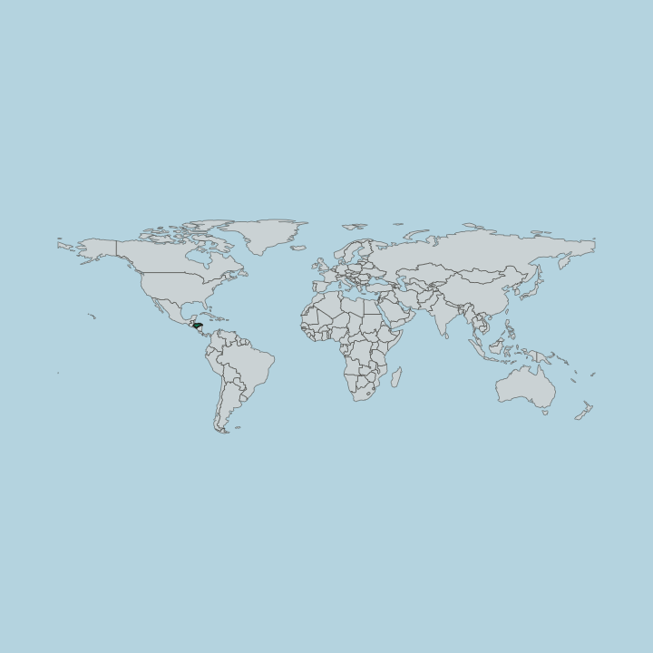
Honduras occupies the wide waist of Central America, bordered by Guatemala, El Salvador, and Nicaragua. Two coasts frame it. A long Caribbean shore runs across the north, from the Guatemalan border past La Ceiba and Trujillo, while a short Pacific outlet reaches the sea only at the Gulf of Fonseca in the far south.
Between the two lies the country's defining feature: a broad tangle of mountains and interior highlands that covers roughly four-fifths of the land and rises to Cerro Las Minas, the highest point at 2,870 metres, in the Celaque range of the western department of Lempira. Rivers order the lowlands. The Ulúa drains the fertile Sula valley toward the Caribbean, where the industrial city of San Pedro Sula has grown, and the Patuca cuts east through the rainforest of the Mosquito Coast.
Offshore, the Bay Islands string out along the Mesoamerican reef north of the mainland. The terrain is anything but flat. Coral cays, banana plains, pine ridges, and cloud forest sit within a day's drive of one another, and the roads climb hard between them.
What is the history of Honduras?
Long before the Spanish, the Maya built Copán in the western hills, and it flourished between roughly 150 and 850 CE as a centre of carved script and dynastic monuments. Its collapse left the site to the forest. Other peoples held the rest: the Lenca in the western highlands, the Miskito and Pech in the eastern rainforest.
In 1502 Columbus reached the Caribbean coast on his fourth voyage, and Spanish conquest followed under captains sent by Hernán Cortés from Mexico. Comayagua became the colonial capital of a silver-mining province that grew slowly under the distant Kingdom of Guatemala. Honduras broke from Spain in 1821. It joined the United Provinces of Central America two years later, a federation that fractured by 1838 and left the country independent and poor.
The next chapter was written in fruit. United States banana companies planted the northern coast around La Ceiba and Tela, and came to wield such power that an American writer coined the phrase "banana republic" for the whole grim arrangement. In 1880 the capital moved from Comayagua up to Tegucigalpa.
That mountain town has held the seat of government ever since.
What is Honduras like?
Honduran culture braids three strands: Indigenous, Spanish, and Afro-Caribbean. The Lenca of the western highlands carry a long tradition of pottery and weaving, and their market towns around Gracias and La Esperanza keep old craft alive. Along the northern shore the Garifuna hold something distinct entirely, an Afro-Indigenous people whose language, drumming, and the driving dance called punta earned recognition from UNESCO as intangible heritage.
Their coastal villages near Trujillo cook cassava bread and coconut fish that appear nowhere in the interior. Food tells the same layered story. The baleada, a folded flour tortilla with beans, cream, and cheese, is eaten everywhere from roadside stands to city cafés, while the coast serves sopa de caracol, a conch soup thick with coconut milk.
Spanish is the shared language, Catholic feast days shape the calendar, and football fills the weekends. Copán's carved kings still watch over the west. Between the reef and the ridgeline, the country reads as several cultures at once, each holding its own ground.
What is the climate of Honduras?
Altitude sets the weather in Honduras. The Caribbean coast and the Bay Islands stay hot and humid year-round, the perfect tropics for diving, while the highlands around Tegucigalpa run noticeably cooler and drier at elevation. Two seasons divide the calendar rather than four.
A drier stretch holds from November to April, and the wet season brings afternoon rain and the risk of Caribbean storms from May to October. Pack for both heat and mountain air.
How do you get to Honduras?
The vast majority of visitors reach Honduras by plane. San Pedro Sula is the main international gateway and the natural jumping-off point for Copán, the northern coast, and the islands, while Tegucigalpa handles the capital's traffic. Roatán has its own airport for direct island arrivals.
From La Ceiba a ferry crosses twice daily to Roatán and Utila for those coming overland. Distances look short on the map but the mountain roads run slow.
Good for
Updated September 2026