India · Uttar Pradesh
Where to Stay in Hardoī, Uttar Pradesh
Hardoī, also called Prahalad Nagari, heads Hardoi district in Uttar Pradesh, where Victoria Hall has stood since 1888.
Hotel links are affiliate links: booking through them may earn us a commission, at no extra cost to you. It never affects how places are ranked. How this works


Where to stay in Hardoī
The practical side of choosing where to sleep.
Old Hardoī and New Hardoī still split the city, and a bed in one is nothing like a bed in the other. The old quarter keeps the original village site, and an ancient khera of some sixteen acres lies beneath it. New Hardoī grew around the British civil station of the 1850s, laid out with wide, tree-shaded streets, the houses of officials and lawyers, and the shops that served them.
Victoria Hall anchors that side. Built in 1888, it carried the municipal and district offices, a clock tower, and a public library holding books in English, Urdu, Hindi, Persian, Arabic, and Sanskrit. Trade decides the other choices.
Hardeoganj holds the main market and its bazaars fall on Sundays and Wednesdays, while Railwayganj keeps the grain market beside the station, where the district's harvest was gathered and sent out by rail. Gibsonganj lies next to it, once a colony of carpenters turning out plough handles and cart wheels. Rooms are plain throughout.
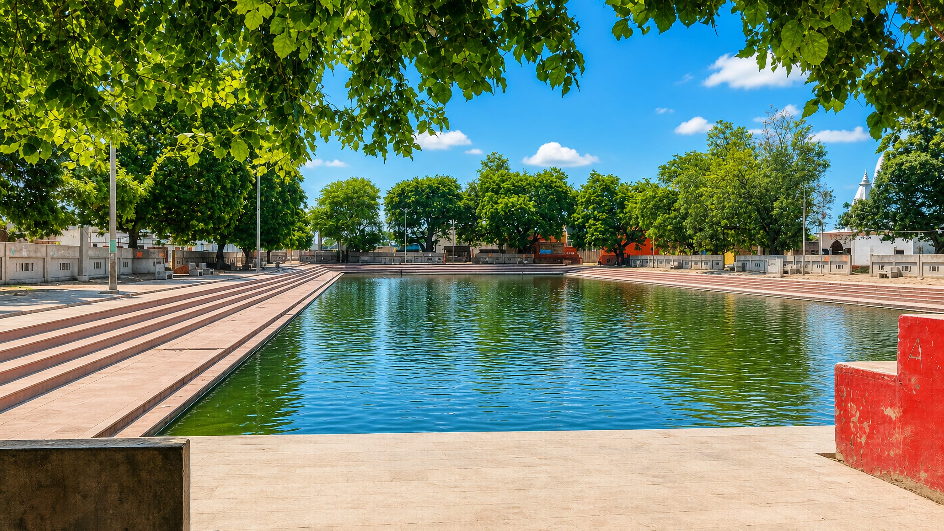
Circular Road is the quiet option, since Belatali Talab was reworked into a public pond with a walking path, boats, swings, and young trees, and an evening there is the nearest thing Hardoī offers to a promenade.
Find hotels in Hardoī
Direct booking searches for these neighbourhoods.
Hardeoganj
Hardoī's main market sits here, and its bazaar days fill the lanes between the grain dealers and the walk over to Shri Baba Mandir. Beds are limited here, so book early.Find hotels in HardeoganjArrivals off the Jammu-Howrah and Amritsar-Howrah mail trainsRailwayganj
The grain market stands beside Hardoī's station, with the old carpenters' quarter of Gibsonganj immediately next door. Rooms are few around here — worth securing early.Find hotels in RailwayganjEvening walkers making for the water at Belatali TalabCircular Road
Belatali Talab was rebuilt as a public pond with a path, boats, and plantings, giving this stretch of Circular Road the only promenade Hardoī has. Lodging is scarce in this area; reserve in advance.Find hotels in Circular RoadHotel links are affiliate links: booking through them may earn us a commission, at no extra cost to you. It never affects how places are ranked. How this works
About Hardoī
Hardoī answers to two names.
What is Hardoī known for?
Prahalad Nagari points to the tale of Prahlad, the Vishnu-devoted son of the daitya king Hiranyakashipu, and local accounts trace Hardoī itself to Hari-Drohi, and put the pyre of Holika, the fire behind Holi, somewhere inside the city. Shri Baba Mandir draws the steadiest crowds. Beside it rises an old mound that people call the ruin of Hiranyakashipu's palace, with the Shravan Devi shrine close by.
What are the main landmarks in Hardoī?
Sandi Bird Sanctuary is the district's best-known protected ground, created in 1990 from the wetland once called Dahar Jheel. Two shrines hold the city's devotion. Shri Baba Mandir stands beside an old mound that tradition calls the ruin of Hiranyakashipu's palace, and the Shravan Devi shrine sits just past it.
Victoria Hall and Belatali Talab carry the civic side, while the tomb of Diler Shah at Shahabad and the bathing place of Hatyaharan Tirth lie further out in the district.
What is the history of Hardoī?
The name is argued over. One tradition derives Hardoī from Hari-Drohi, meaning against God, and ties it to Hiranyakashipu, the daitya king of the Holi story. Another credits Raja Hardeo, a Bhar chief said to have built the town, and a third points to a Thathera ruler named Raja Harnakas or to a devotee, Hardeo Babar, placed here around 1000 CE.
The ground itself is older than any of them. Beneath the old town lies a khera covering sixteen acres, and around 1300 a body of Chamar Gaurs under Nir Singh is said to have taken the site from the Thatheras, levelled their fortress, and founded the city again. Conquest came in stages.
Syed Salar Masud Ghazi struck Bawan in 1028, Gopamau fell about the same time, and the Shaikhs claim Bilgram was taken in 1013, yet the Imperial Gazetteer holds that no settled Muslim grip existed before 1217. Nusrat Khan and Zafar Khan were left behind to secure it. Sandi and Sandila resisted longest, Sandila being the capital of a Pasi kingdom that spread along both banks of the Gomti and the Sai.
The British civil station of the 1850s made the modern town, and grain from the district went out by rail from Railwayganj. Hardoī was folded into the State Capital Region in 2024.
Where is Hardoī?
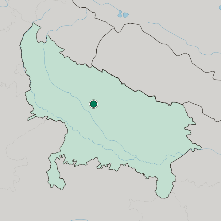
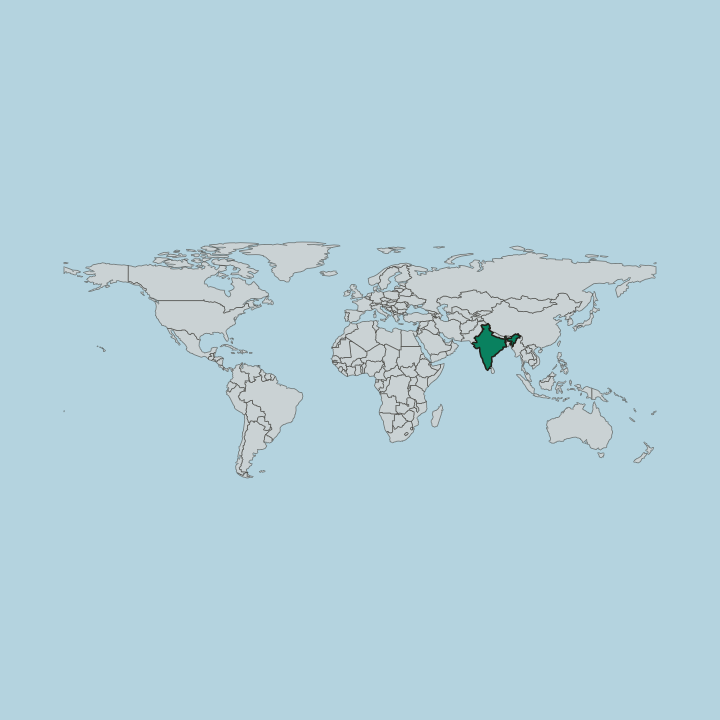
Rivers draw the district's edges. The Gomti runs down its eastern side, the Ramganga forms the southern boundary before joining the Ganga near Sangrampur, and the Ganga then closes it off to the west, with Lakhimpur Kheri to the north and Lucknow and Unnao to the south. Between the Ganga and the Gomti the district takes a roughly triangular shape.
Hardoī sits on flat ground, and a broad belt of usar, the saline barren soil, runs either side of the railway from Sandila to Shahabad. Pihani, near the Gomti, is the high point.
What is the climate of Hardoī?
The southwest monsoon sets the year's shape here. Rain arrives after months of building heat over the Ganga plain, and the wet weeks refill the Gomti, the Ramganga, and the smaller Garra and Sai before the water drops away again. The dry months follow behind it.
No sea reaches this far inland, so nothing damps the swing, and the usar belt between Sandila and Shahabad bakes hard in the weeks before the rains break.
How do you get to Hardoī?
Rail is the usual way in. Hardoī sits on the Lucknow line of the old Awadh-Rohilkhand Railway, now run as Northern Railway by its Moradabad division, and mail expresses on the Jammu-Howrah and Amritsar-Howrah runs call here. Trains routed through Chapra, Hajipur, and Muzaffarpur in Bihar stop as well.
The drive from Lucknow takes roughly an hour and a half, and every neighbouring district is linked by road, with Railwayganj by the station still handling the district's grain.
Common questions
What is the best area to stay in Hardoī?
Hardeoganj: Traders timing a stay around the Sunday and Wednesday bazaars. Railwayganj: Arrivals off the Jammu-Howrah and Amritsar-Howrah mail trains. Circular Road: Evening walkers making for the water at Belatali Talab.
More cities in Uttar Pradesh
Updated September 2026