Iran · West Azerbaijan Province
Where to Stay in Piranshahr, West Azerbaijan Province
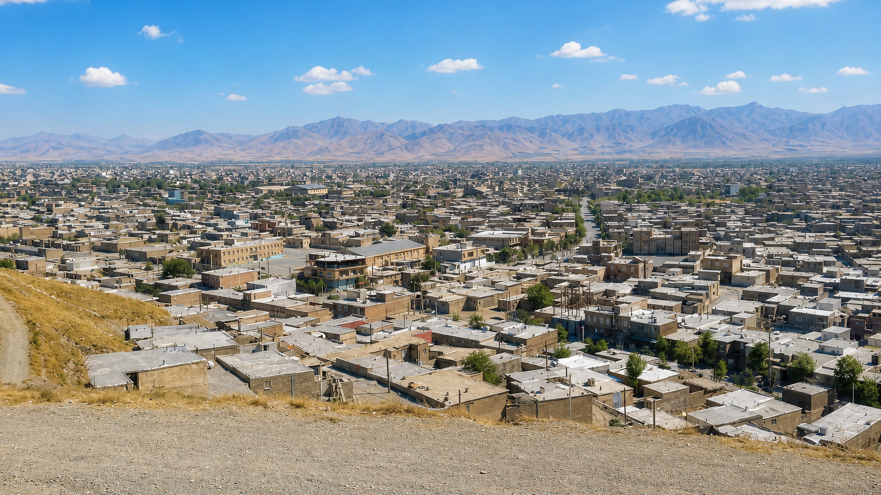
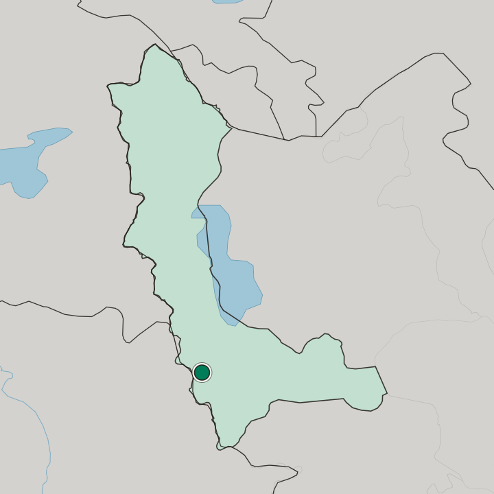
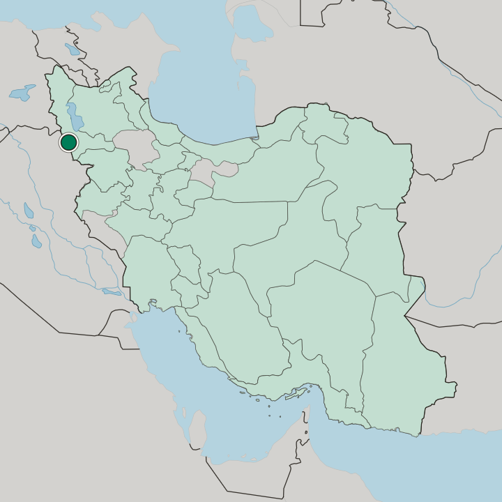
Piranshahr, or Pîranşar, is the seat of Piranshahr County in West Azerbaijan province, close to the Kurdistan Region border.
Find your area →


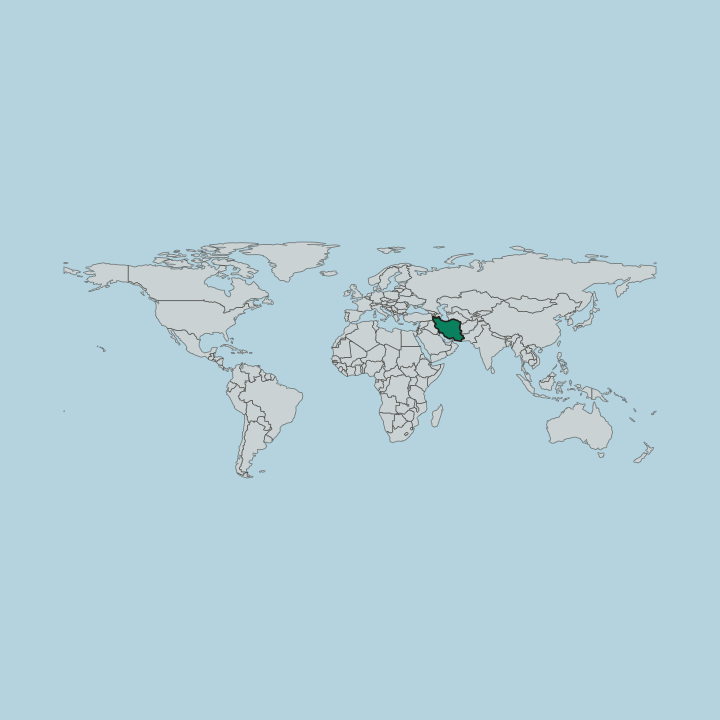
Where to stay in Piranshahr
Where the beds are, and what that means for the visit.
Two things decide the address: the passages of imported goods in the middle of town, and the road running west to the Tamarchin crossing. The Central District holds both, and everything a visitor needs is inside it. Shin Abad closes the centre on the east, Kohne Khane on the west, Beheshti to the north, Quds to the north-east, and Farhangian to the south-west, so the whole choice is a matter of a few streets rather than separate towns.
Beds are few. Permits for a four-star and a three-star hotel have been issued, one through the state tourism and handicrafts body and one privately, which is the scale of the market. Traders make up most of the custom.
They come for the border marketplace and the customs post, buy through the day, and leave with what they can carry, so rooms fill on trading days and empty when the crossing is quiet. Kurdish is the street language and Persian the paperwork. If you are driving between Urmia and Sardasht, or turning off the Mahabad road toward Erbil, one night in the centre covers it.
Beyond the built-up edge the county turns to orchard and river. Badin Abad and Pordanan are day trips along the water rather than places to sleep, and the villages of Kohne Lajan and Khoranj are visited and left the same afternoon.
About Piranshahr
Trade is the pulse here.
What is Piranshahr known for?
The border markets of Piranshahr draw buyers from across the north-west for electronics, glassware, and household goods brought in through the Tamarchin crossing, and the customs post has turned a town once spoken of in terms of shelling into a place of warehouses and transit. Granite quarries work the hills. Above them the Qandil range closes the western horizon, while the Lavin gathers the snowmelt that becomes the Little Zab.
What are the main landmarks in Piranshahr?
The Khorpap waterfall drops out of the hills west of town, and the forested banks of the Pordanan carry a recreation ground above the water. Older ground lies south. The mound and castle at Pasveh sit in the Lajan plain, where Minorsky placed the Parsua of Assyrian records, and a second mound rises at Shin Abad inside the city itself.
Memorials to the eight-year war line the road out to Tamarchin. Khoranj keeps its field of standing stones.
What is the history of Piranshahr?
Yaqut al-Hamawi traced the name to Piran, the Turanian counsellor of the Shahnameh who served Afrasiab as spahbed and ruled Khotan. Persian writing treats him as a figure of wisdom. He carries the stories of Siavash, of Kay Khosro, and of Bizhan and Manizhe, and later readers set him beside Bozorgmehr, while Djalal Khaleghi Motlagh went further and identified him with the Median Harpagus who spared Cyrus the Great.
The Kurdish name is blunter. Khane marks a halting place on a caravan road, which is what this ground was when the Silk Road ran through it, and the oldest written records call the district Lahijan or Malek Lahijan rather than anything resembling the modern name. Settlement here is far older than the town.
Minorsky identified the Parsua of Assyrian annals with Pasveh, a village in the Lajan district whose name he dated to the ninth century BC and whose people appear in the records of Shalmaneser III. Hundreds of mounds cover the surrounding plain. The border position kept the place in use through every later period, and garrisons stood at Piranshahr, Jaldian, and Pasveh because the route to the Kurdistan Region and Mesopotamia passed this way.
By those measures the built town is young: it grew from a village into a county seat within living memory, and the municipality was founded in 1339 of the Iranian calendar.
Where is Piranshahr?
Piranshahr occupies the Lajan plain where the western ranges break down into flat country, with Mahabad to the east, Naqadeh and Oshnavieh to the north, and Sardasht to the south. Six mountains ring the county. Sheykha Dar and Haji Ebrahim are the tallest of them, with Qandil, Sura Dal, Bazan, and Barzin behind, while Khezr Sharafan rises to the west of the streets and Sargerdeh to the south-west.
The ground falls away toward the south-east.
What is the climate of Piranshahr?
Snow does the work here. High ground and the ridges of Qandil and Haji Ebrahim give Piranshahr a humid continental winter, the Köppen Dsa type, with the heaviest rain falling in spring rather than in the hot months. Meltwater off those peaks keeps the Lavin running through summer.
No town in West Azerbaijan province is better supplied with surface water.
How do you get to Piranshahr?
Roads only. Piranshahr stands on the Urmia to Sardasht and Baneh road, with Urmia to the north and the Mahabad highway coming in from the east on its way to Erbil, and the drive up from Tehran runs through Mahabad and Tabriz. The border gate is at Tamarchin.
No railway or airfield appears in the record for the county, so every arrival is by road, and the customs post west of town is where cross-border traffic clears.
Good for
More cities in West Azerbaijan Province
Updated September 2026