Iran
West Azerbaijan Province, Iran — Towns & Travel Guide


West Azerbaijan wraps Iran's far north-west corner around the salt of Lake Urmia, where the frontiers of Turkey, Iraq and Nakhchivan converge.
Find your area →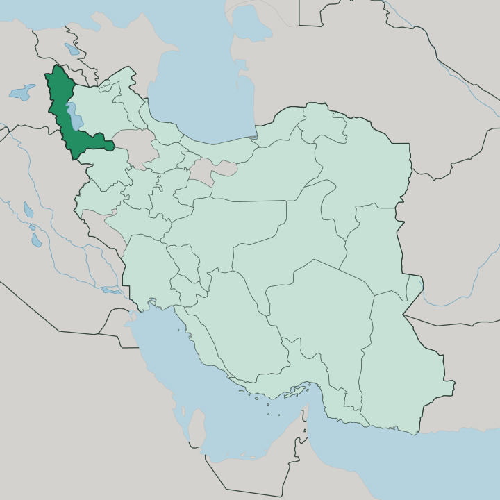
Towns & cities in West Azerbaijan Province
Pick a town or city — each links to where to stay.
 Iran
Iran
Orūmīyeh
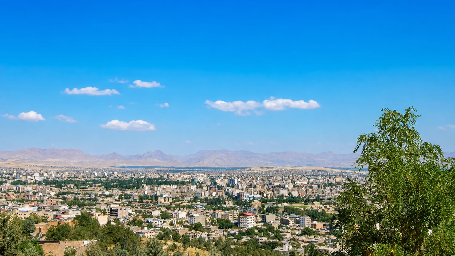
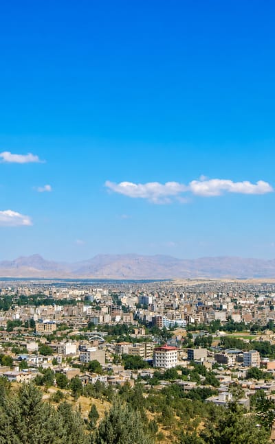
Brick minarets and church towers rise together in Orūmīyeh, the capital of West Azerbaijan Province near Lake Urmia, known for the Jameh Mosque of Urmia.Where to stay →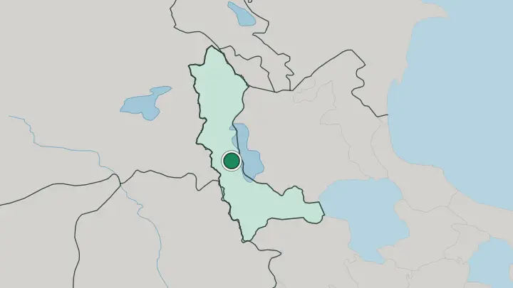
About West Azerbaijan Province
What is West Azerbaijan Province known for?
Lake Urmia is the name most travellers know first, a salt lake that was once the largest in Iran and still spreads its shallow, pink-tinged water across the eastern floor of the province. Urmia, the provincial capital, sits on a fertile plain of apple and grape orchards on the lake's western shore. Inland toward Takab, the Sasanian fire sanctuary of Takht-e Soleyman rings a deep crater lake and carries the province's UNESCO listing.
Two peoples share the land. Azerbaijani Turkish runs across the northern counties and Kurdish across the south, splitting the food, music and bazaars from Khoy down to Mahabad.
Where is West Azerbaijan Province?
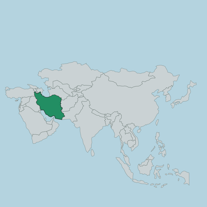
West Azerbaijan fills the far north-west corner of Iran, the point where the country runs up against three neighbours at once. Three of its edges are foreign. Turkey lies along the western mountains, Iraq's Kurdish region reaches up to the south-west, and the Nakhchivan exclave of Azerbaijan touches a short northern frontier.
Inside Iran it meets East Azerbaijan across the water of Lake Urmia, with Kurdistan to the south and Zanjan at its south-eastern corner. The frontier is long and high, drawn for much of its length along the crest of the Zagros, whose ridges climb toward Turkey and the Iraqi mountains and wall the province off from the lowlands beyond. Lake Urmia dominates the eastern half, a shallow salt lake set in a closed basin with no outlet to the sea.
Streams off the southern mountains drain into it and lay down broad plains, and it is on those plains, ringed by apple and grape orchards, that Urmia and the province's other towns sit. Not much of it is flat. The land tilts up almost everywhere toward the Zagros, and the western districts near Piranshahr and the Iraqi border are the highest and most rugged of all.
What is West Azerbaijan Province like?
Two languages set the tone here. Azerbaijani Turkish is the everyday speech of the northern counties around Urmia, Khoy and Salmas, while Kurdish carries the south from Mahabad down through Bukan and Piranshahr. The divide shows in the markets and the wedding music.
Both peoples keep a mountain kitchen of tandoor bread, thick yogurt and grilled meat, and both mark the plain's apple and grape harvests. Trade with Turkey and Iraqi Kurdistan has long shaped the border towns, filling their bazaars with goods carried over the mountains. Faith adds a third thread.
Urmia stands as one of the historic seats of the Assyrian Church of the East, and Assyrian and Armenian Christians have farmed the lake plain beside their Muslim neighbours for generations. Near Maku in the far north, the Armenian monastery of Saint Thaddeus pulls a summer pilgrimage to one of Christianity's oldest churches. Spring brings Nowruz to every household, Azerbaijani and Kurdish alike, with bonfires and the year's first green shoots.
Craft runs through all of it. Urmia's carpets and silverwork, and the copper stalls of its covered bazaars, give the province a handmade texture that owes nothing to modern industry.
What is the history of West Azerbaijan Province?
The land around Lake Urmia holds some of Iran's oldest settlement. In the first millennium BC the kingdom of Mannaea rose here, a buffer state squeezed between Assyria and the mountain empire of Urartu, and the burned Iron Age citadel of Teppe Hasanlu still marks its violent end. Centuries later the Sasanians raised the fire sanctuary of Takht-e Soleyman on its crater.
The modern story turns Kurdish. In 1946 Mahabad became the seat of a short-lived Kurdish republic, crushed within the year.
What is the climate of West Azerbaijan Province?
West Azerbaijan's winters are long and severe. Cold air spilling down from the north buries the province in snow for months, and the western mountains around Piranshahr and Sardasht take the deepest falls in all of Iran's northwest. Summers are short, dry and warm on the Urmia plain, just long enough to ripen the apple and grape crop.
Altitude rules everything. The high Zagros valleys stay cold and white long after the lakeshore has thawed, and snowmelt off those ridges feeds the rivers that run down to Lake Urmia each spring.
How do you get to West Azerbaijan Province?
Most arrive by road or rail. West Azerbaijan sits far from Tehran, pressed into the corner of Iran against Turkey and Iraq, so the usual approach is the long road or rail run northwest through Tabriz. A causeway carries that route straight across Lake Urmia into the provincial capital.
Urmia also keeps its own airport, with the short hop from Tehran the quickest way in. For travellers crossing borders, the Bazargan gate near Maku is the main road into Turkey, and the Tamarchin crossing above Piranshahr opens the way to Iraqi Kurdistan.
Good for
Updated July 2026