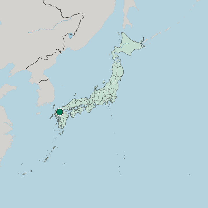
Japan · Fukuoka Prefecture · Fukuoka
Torikai, Fukuoka — Area Guide & Where to Stay
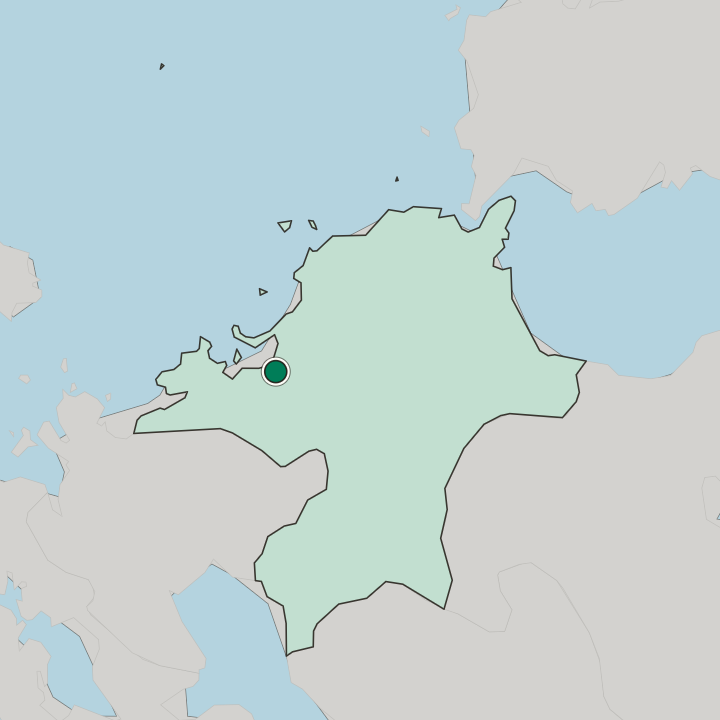
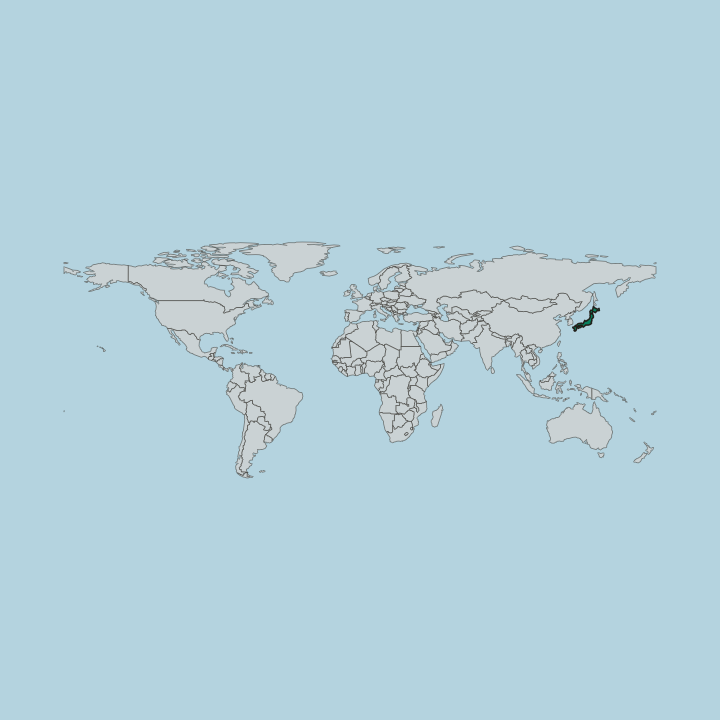
Torikai straddles Chūō-ku and Jōnan-ku in Fukuoka, from Torikai 1-chōme to 7-chōme across eighty-three hectares. The Jōnan ward office stands in 6-chōme.
Hotel links are affiliate links: booking through them may earn us a commission, at no extra cost to you. It never affects how places are ranked. How this works


Where to stay in Torikai
Where visitors usually base themselves, and why.
Torikai lies about three kilometres west-southwest of Tenjin and just under a kilometre from Ōhori Park, between Nishijin and Ropponmatsu. Two subway stations sit within walking distance and the bus routes are many, which with flat quiet streets has made it one of the most sought-after places in the city to live. It is known as the transferees' town for the company housing that filled it from the high-growth years.
The Jōnan Line runs the Chūō-ku side.
About Torikai
What are the main landmarks in Torikai?
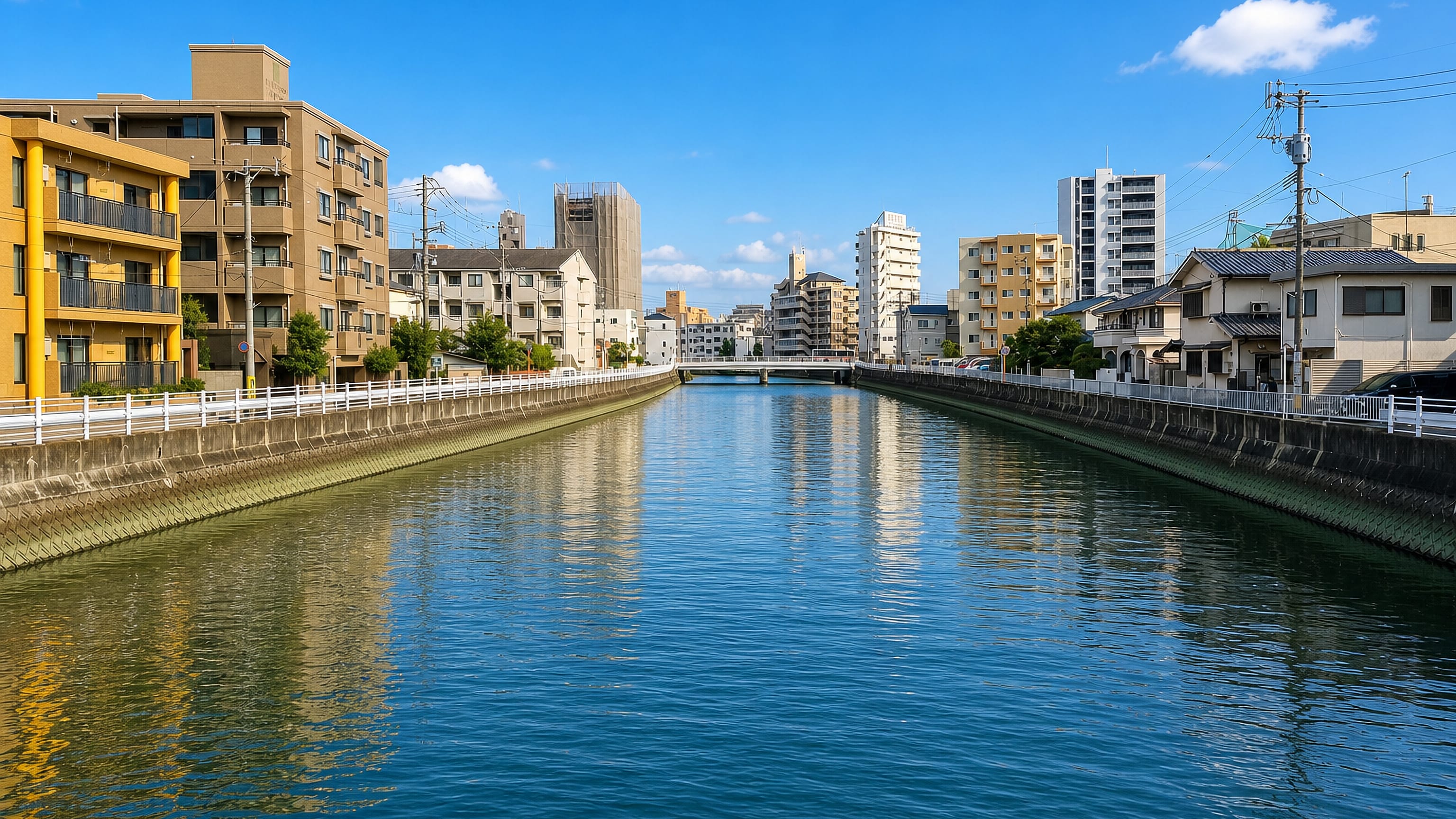
The Jōnan ward office stands in Torikai 6-chōme. Torikai Elementary in Jōnan-ku takes many transferees' children, and other dialects can be heard in its yard. The Hiigawa curves through from south to northwest and marks the boundary between the two wards.
Both banks stand a little higher.
What is the history of Torikai?
Torikai was a battlefield in the Mongol invasion: the Battle of Torikaigata was fought here in the tenth month of 1274, during the Bun'ei campaign. With the municipal system on 1 April 1889, Tani village, part of Torikai village and part of Nishimachi in Fukuoka-ku were merged into Torikai village of Sawara District. The Hiigawa broke its banks in the West Japan flood of 1953 and again in 1963, 1999 and 2009, and dredging has since made that less likely.
The lowland is very flat.
More areas in Fukuoka
Updated September 2026