Japan · Kanagawa · Kawasaki
Kurokawa, Kawasaki — Area Guide & Where to Stay
Kurokawa is the north-westernmost part of Kawasaki, in Asao ward, on the Tama Hills at the source of the Misawa river.
Hotel links are affiliate links: booking through them may earn us a commission, at no extra cost to you. It never affects how places are ranked. How this works


Where to stay in Kurokawa
How the choice of base plays out on the ground.
Three Tokyo cities surround this corner. Inagi, Tama and Machida hem Kurokawa in on the prefectural boundary, with the hills of the Tama range closing it north, west and south. Farming carries on here.
The north-eastern part is designated an urbanisation control and agricultural promotion area, so the yato valleys are still worked and a satoyama landscape survives, which is unusual anywhere in Kawasaki. Haruhino opened as a new housing area beside it.
About Kurokawa
What are the main landmarks in Kurokawa?
Shirumori shrine sits on a low hill at the centre. Its name is said to come from the duty of preparing the soup offered to Okunitama shrine, the provincial shrine of Musashi at Fuchu, and its sacred grove holds many trees the city has listed for preservation. Bishamonten hall marks an older site.
It is said to stand where Kongo-ji once was, with a history going back to the eighth century, and the stone Buddhas at the foot of its torii all have their heads struck off, which is what the Meiji separation of Buddhism and Shinto left behind. An old road runs to Fuchu. The Uryu Kurokawa Kaido was a short cut from Kakio and Kurokawa toward Fuchu and Hachioji, walked from about the Edo period, and it carried the local charcoal, the Zenjimaru persimmons and the shrine's soup.
What is the history of Kurokawa?
People have lived here for a very long time. Sites from the pre-pottery period, put at some twenty-four thousand years ago, have been found near the Tama boundary, on ground that reaches about a hundred and forty metres and is the highest in Kawasaki. Charcoal was the trade.
The forests fed both farming and charcoal burning, and the product was known as Kurokawa charcoal and reckoned to be of good quality. Water explains the name. The Misawa river rises in these woods, and the water was so clear that the bed looked black, which is what the name records.
Boundaries moved several times. Kurokawa was a village of Tsuzuki district in 1878, went into Kakio village when ten villages merged in 1889, came to Kawasaki in 1939, and passed to Asao ward when it was created in 1982.
Where is Kurokawa?
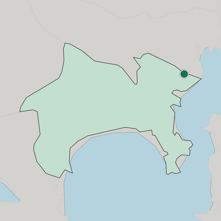
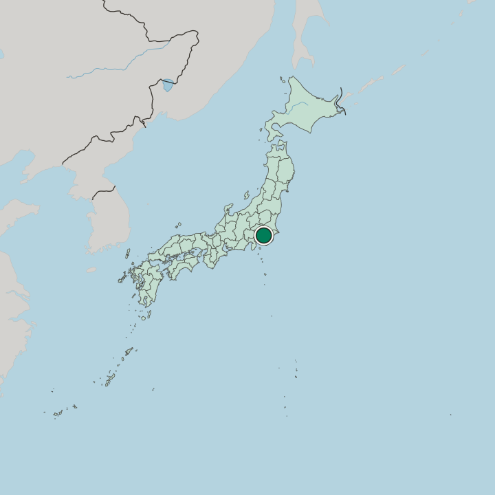
Kurokawa lies at the north-western tip of Kawasaki in Asao ward, ringed by the Tama Hills and by Inagi, Tama and Machida across the Tokyo boundary, at the head of the Misawa river.
More areas in Kawasaki
Updated September 2026