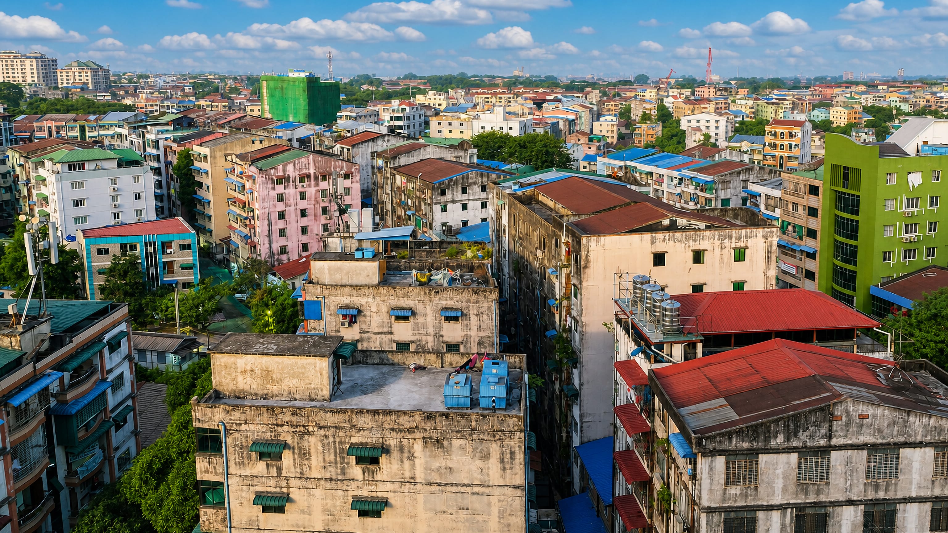
Myanmar: Regions, Cities & Travel Guide
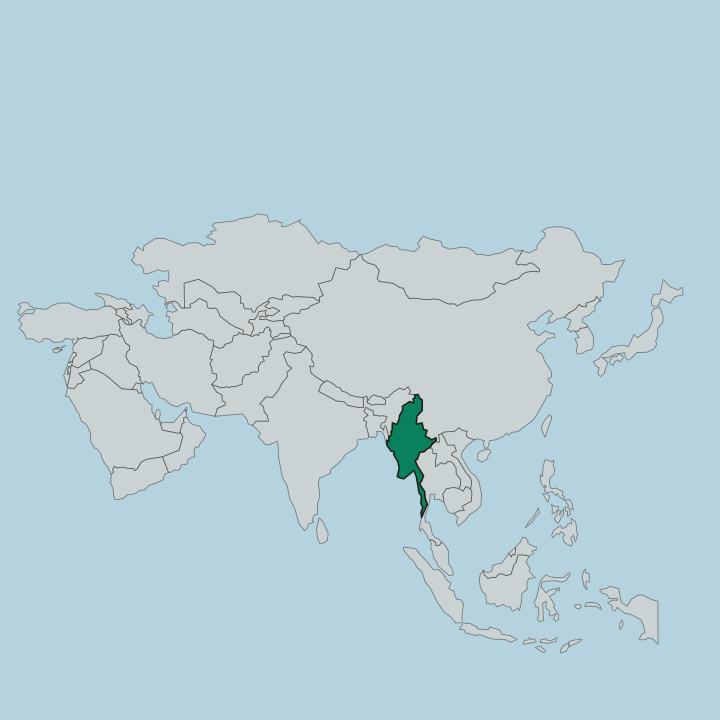
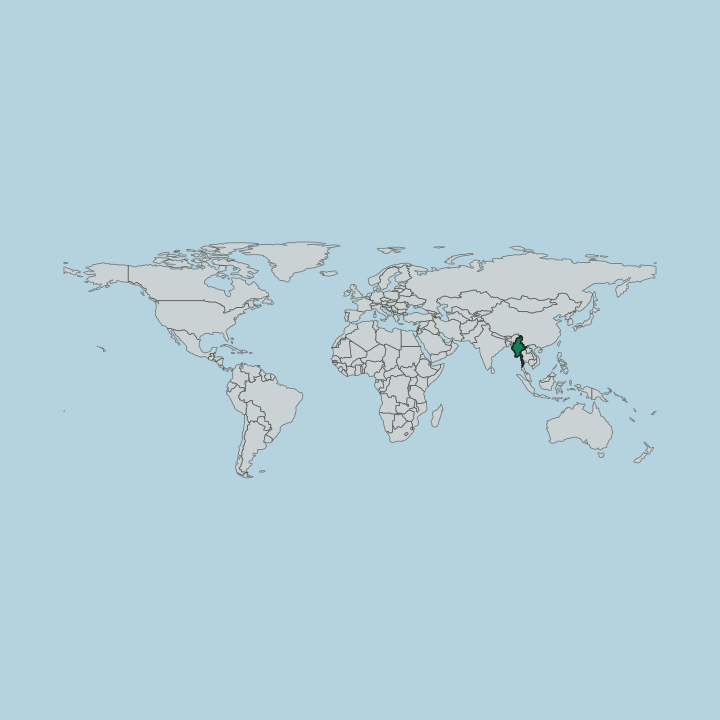
Myanmar is a country in Southeast Asia, strung along the Irrawaddy River from the Bay of Bengal to the Himalayan foothills.
Hotel links are affiliate links: booking through them may earn us a commission, at no extra cost to you. It never affects how places are ranked. How this works


Top destinations in Myanmar
Cities to start from, then drill into areas and hotels.
 Myanmar
Yangon
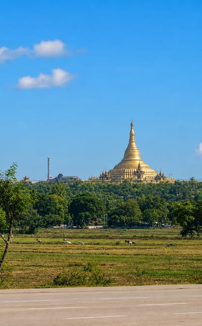
Colonial facades and gilded shrines fill Yangon, the most populous city of Myanmar and capital of the Yangon Region, long known in English as Rangoon.Where to stay →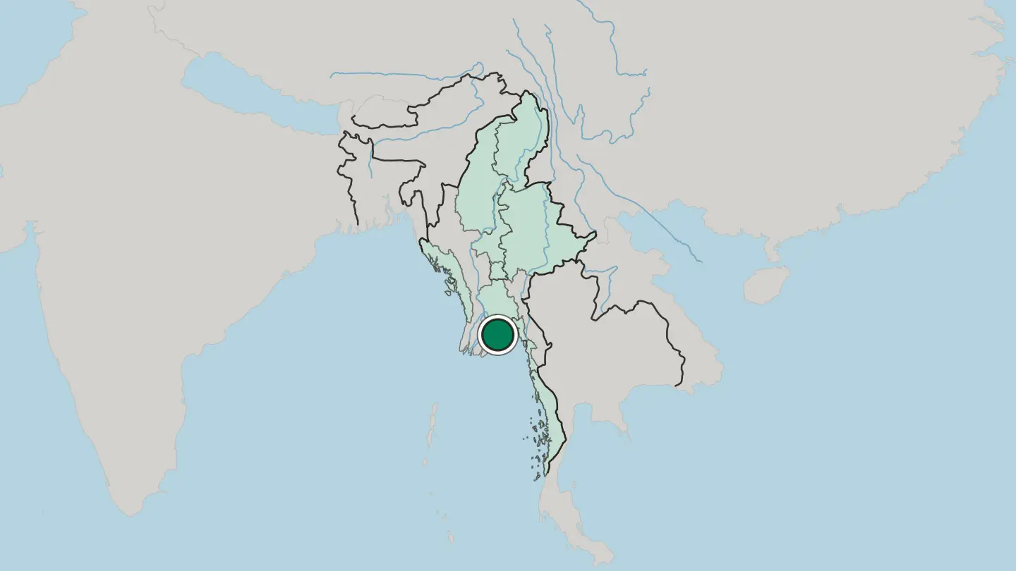
 Myanmar
Nay Pyi Taw
Broad boulevards and government quarters lay out Nay Pyi Taw, the planned administrative capital of Myanmar at the centre of the Naypyidaw Union Territory.Where to stay →
 Myanmar
Mandalay
Mandalay is the last royal capital of Burma, a city of pagodas on the Irrawaddy in central Myanmar.Where to stay →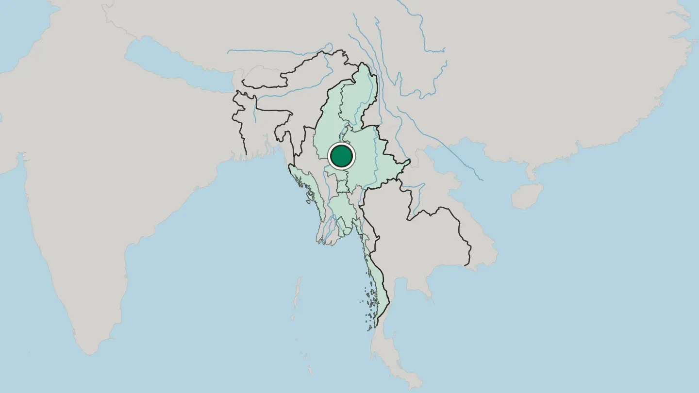
 Myanmar
Taunggyi
Taunggyi is the capital of Shan State, a city of eastern Myanmar built along mountain ridges and known for cool, pleasant air.Where to stay →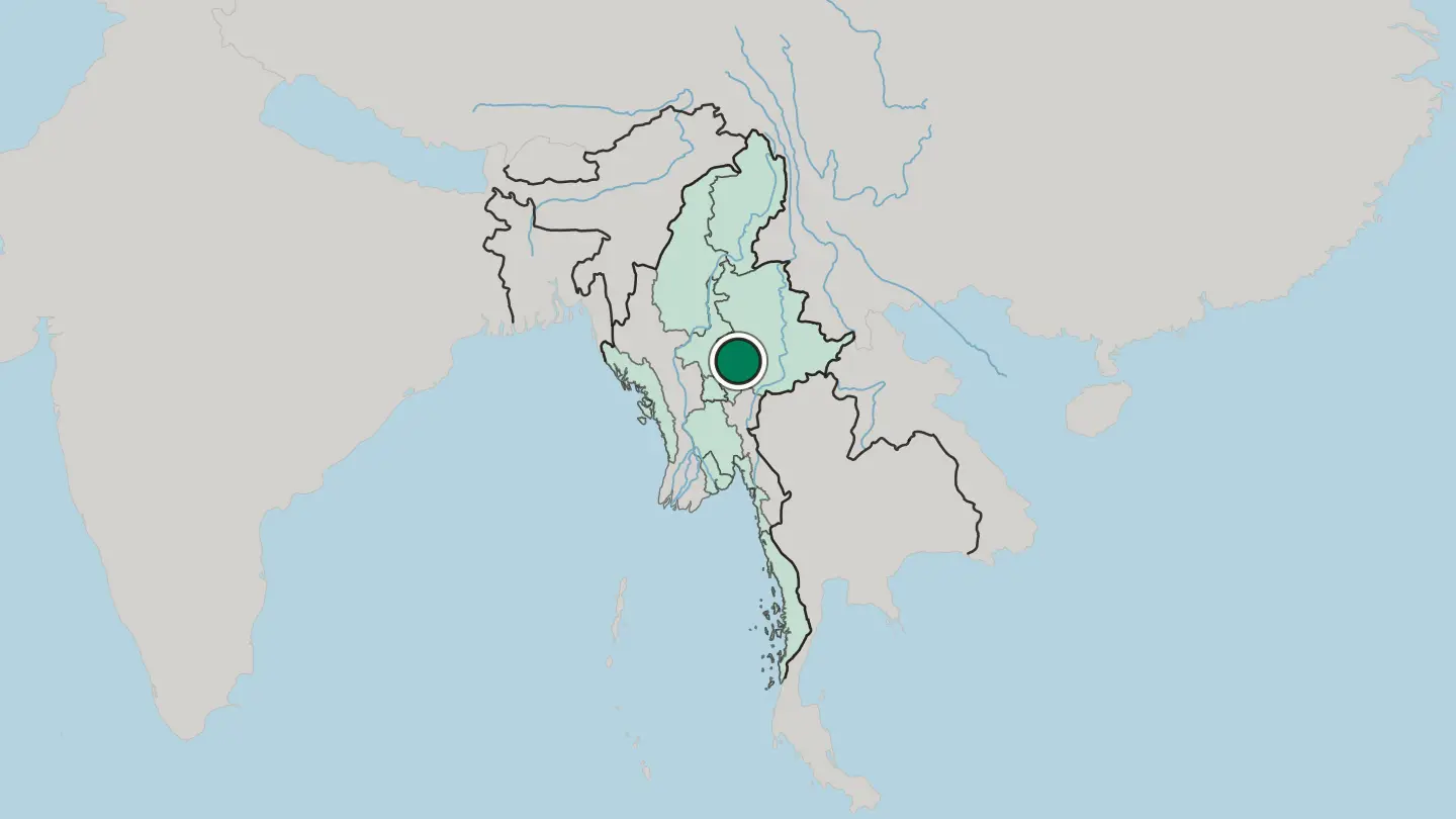
 Myanmar
Bago
Bago is an old royal city of southern Myanmar, once the capital of a Mon kingdom, a town of great golden pagodas and a giant reclining Buddha.Where to stay →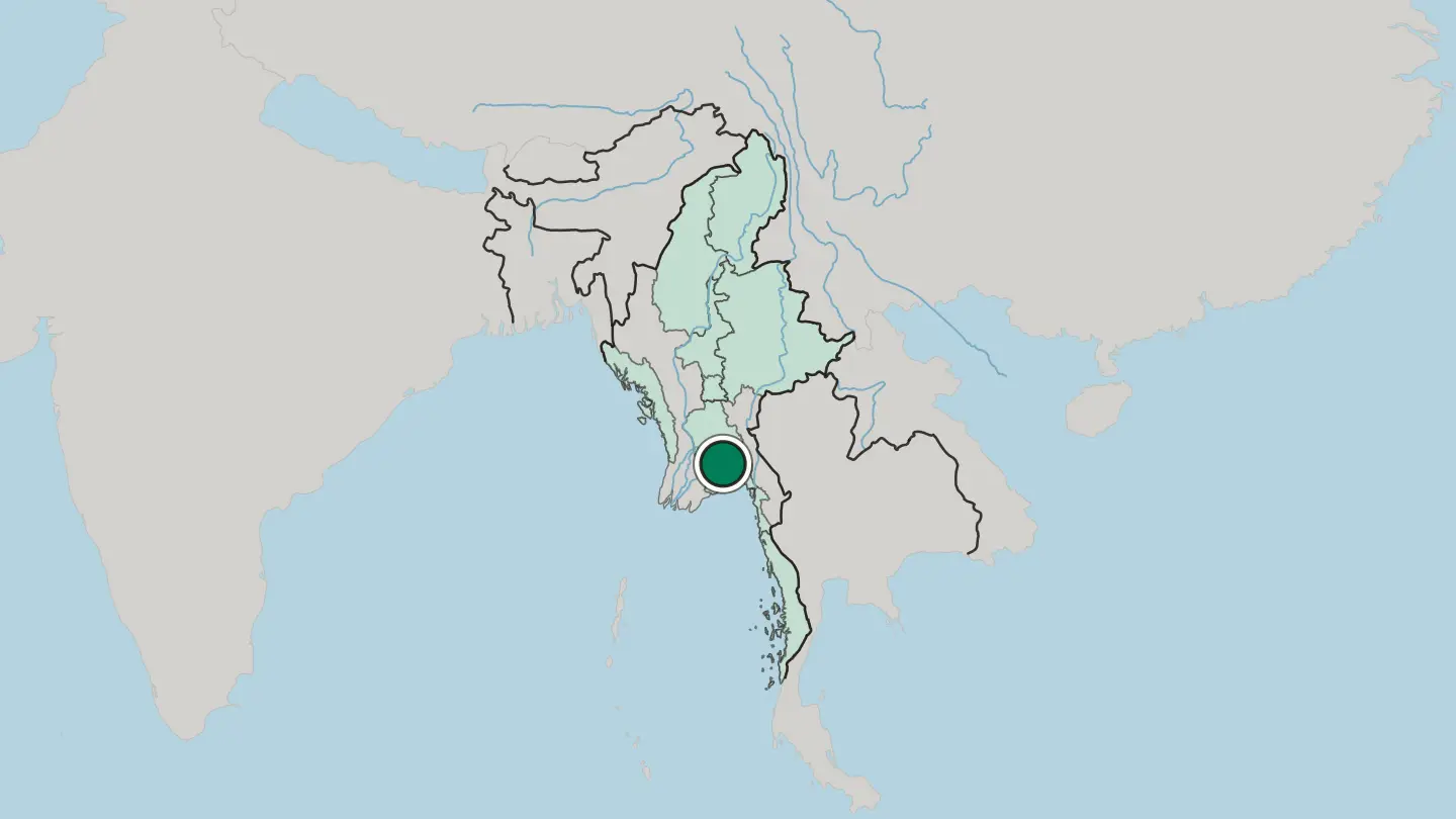 Myanmar
Myitkyina
Myitkyina, capital of Kachin State, stands on the west bank of the Ayeyarwady River in northern Myanmar, at the country's northernmost rail terminus.Where to stay →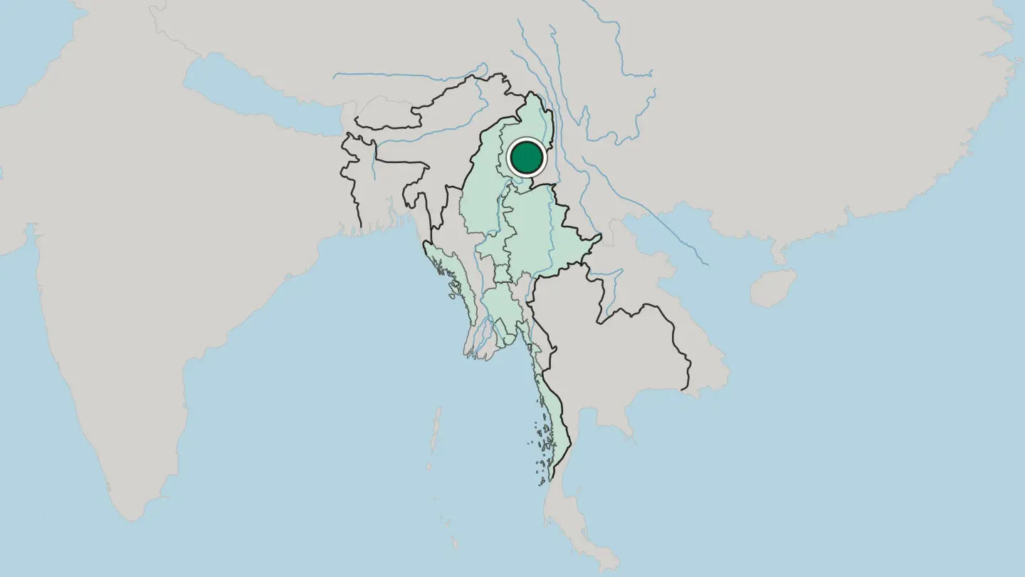
 Myanmar
Tachilek
Tachilek is a border town of Shan State in eastern Myanmar, facing Mae Sai across the line into Thailand.Where to stay →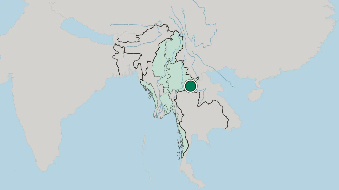
 Myanmar
Mawlamyine
Mawlamyine is a river city of southern Myanmar at the mouth of the Salween, an old capital of British Burma whose ridge of pagodas looks out over the sea.Where to stay →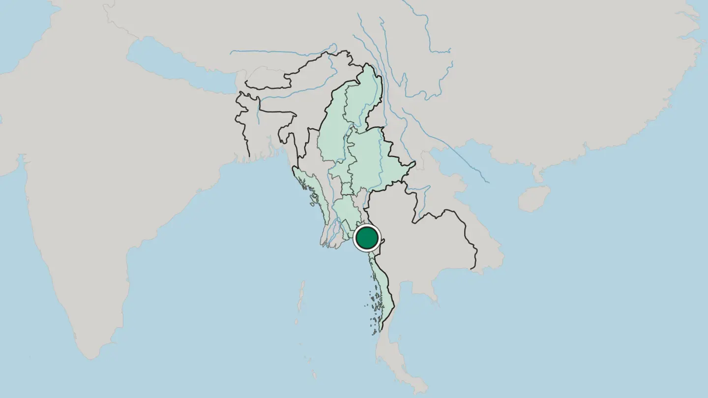
 Myanmar
Sittwe
Sittwe, formerly Akyab, is the capital of Rakhine State, Myanmar, on an island where the Kaladan, Mayu and Lay Mro meet the Bay of Bengal.Where to stay →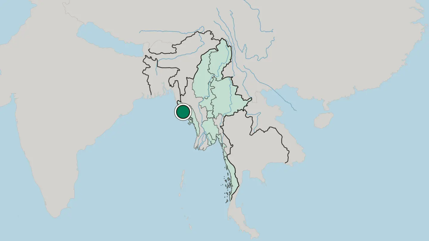
Hotel links are affiliate links: booking through them may earn us a commission, at no extra cost to you. It never affects how places are ranked. How this works
Regions of Myanmar
Myanmar
Bago Region
An administrative region of Myanmar, Bago Region runs from the Gulf of Martaban in the east to Rakhine State in the west.Towns & cities →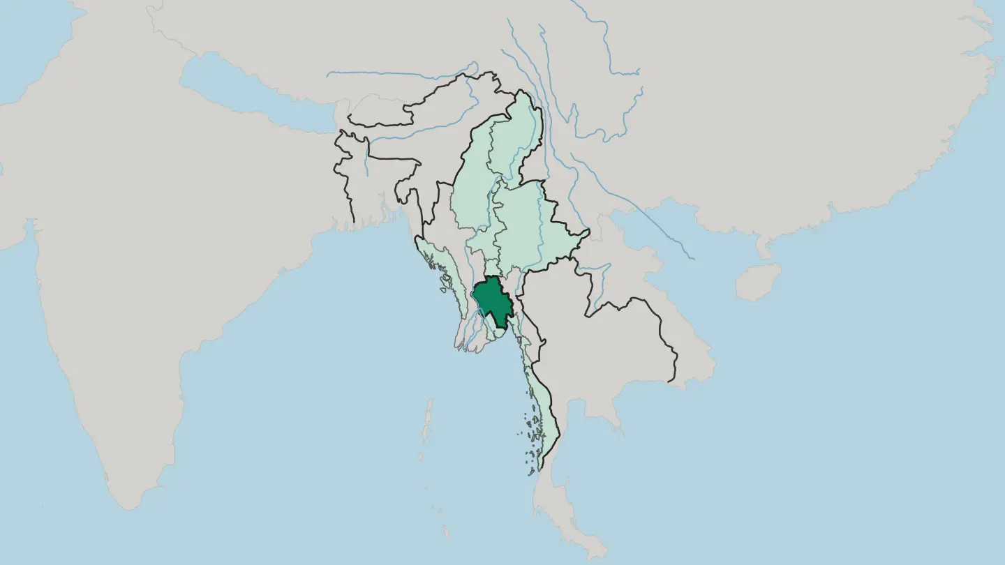 Myanmar
Kachin State
Kachin State touches China, India, Sagaing Region and Shan State, and its capital is Myitkyina.Towns & cities →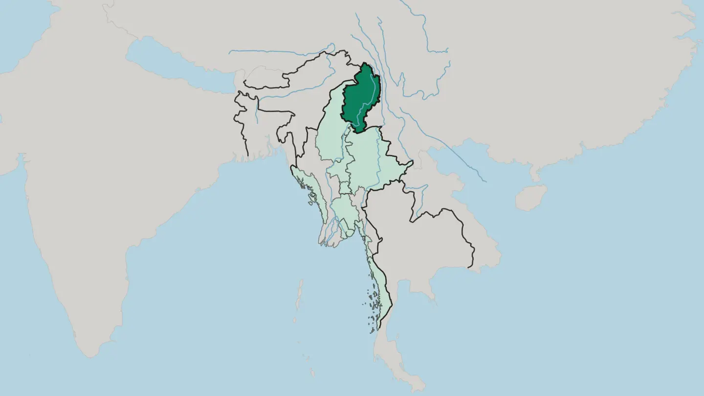 Myanmar
Mandalay Region
The regional capital is Mandalay, and Mandalay Region lies at the centre of Myanmar with Naypyidaw beyond its southern edge.Towns & cities →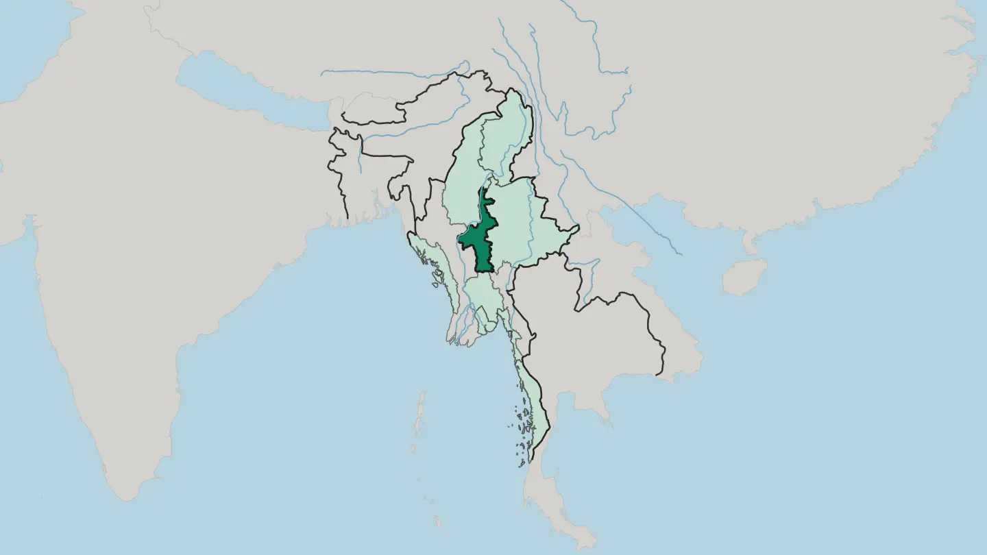 Myanmar
Mon State
Mon State runs down the Andaman Sea coast from Bago Region to Tanintharyi Region, with the Dawna Range inland and Mawlamyine as its capital.Towns & cities →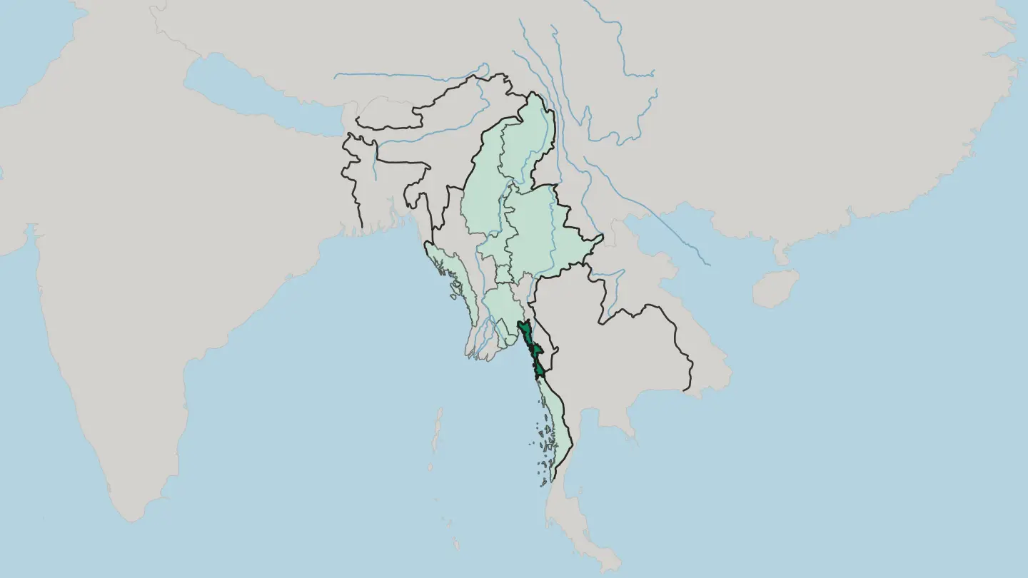 Myanmar
Nay Pyi Taw
The Naypyidaw Union Territory sets Myanmar's planned capital on open inland ground, an administrative division that belongs to no state or region.Towns & cities →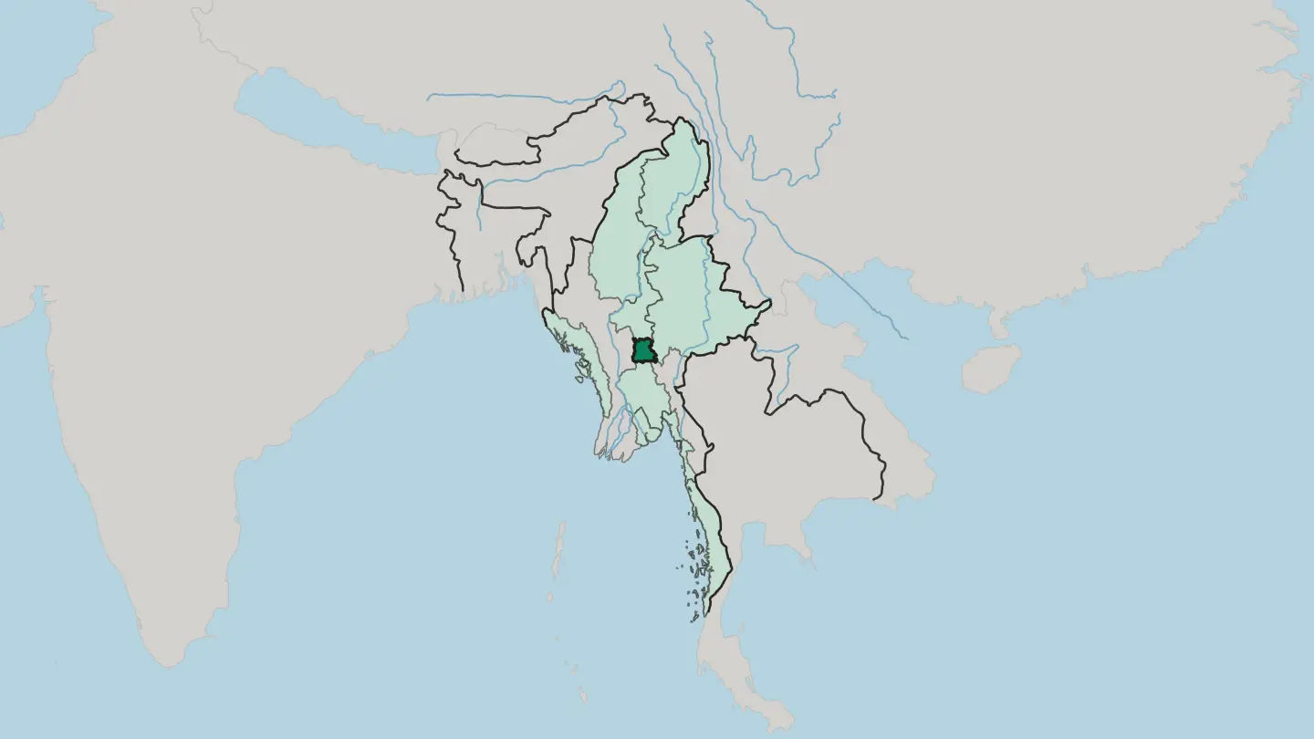 Myanmar
Rakhine State
Rakhine State fronts the Bay of Bengal, shut off from the interior by the Arakan Mountains, with its capital at Sittwe.Towns & cities →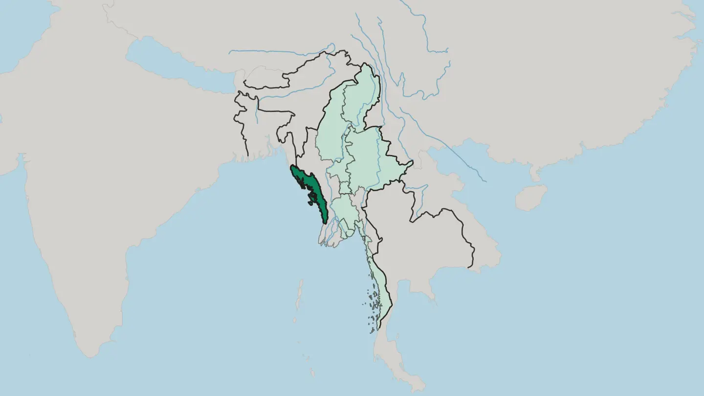
 Myanmar
Sagaing Region
Sagaing Region reaches from the Ayeyarwady River to the Indian border states, the second-largest division of Myanmar, administered from Monywa.Towns & cities →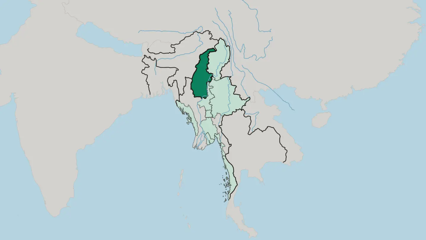 Myanmar
Shan State
Shan State is Myanmar's largest division by area, running from the Yunnan border to Laos and Thailand, with Taunggyi as its capital.Towns & cities →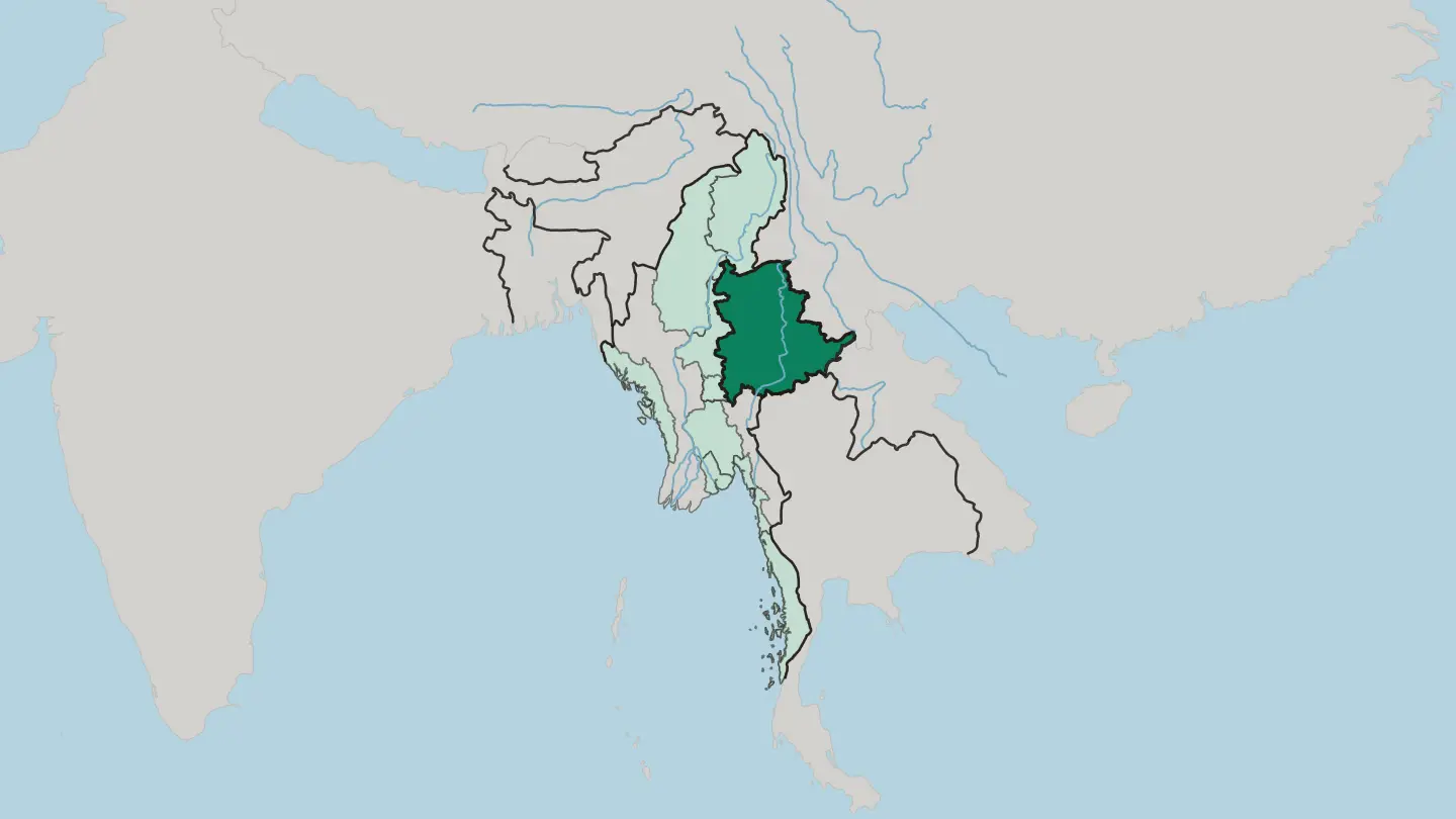
 Myanmar
Tanintharyi Region
Tanintharyi Region runs down the Malay Peninsula to the Kra Isthmus, an Andaman Sea coast strung with the Mergui Archipelago, capital Dawei.Towns & cities →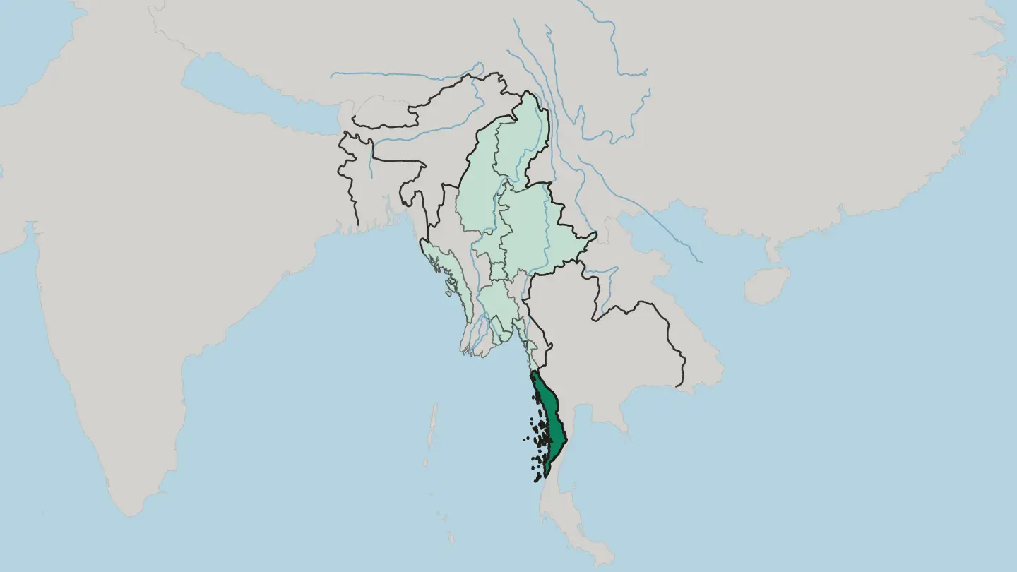 Myanmar
Yangon Region
Yangon Region runs across lower Myanmar to the Gulf of Martaban, an administrative region built around the city of Yangon, the country's largest.Towns & cities →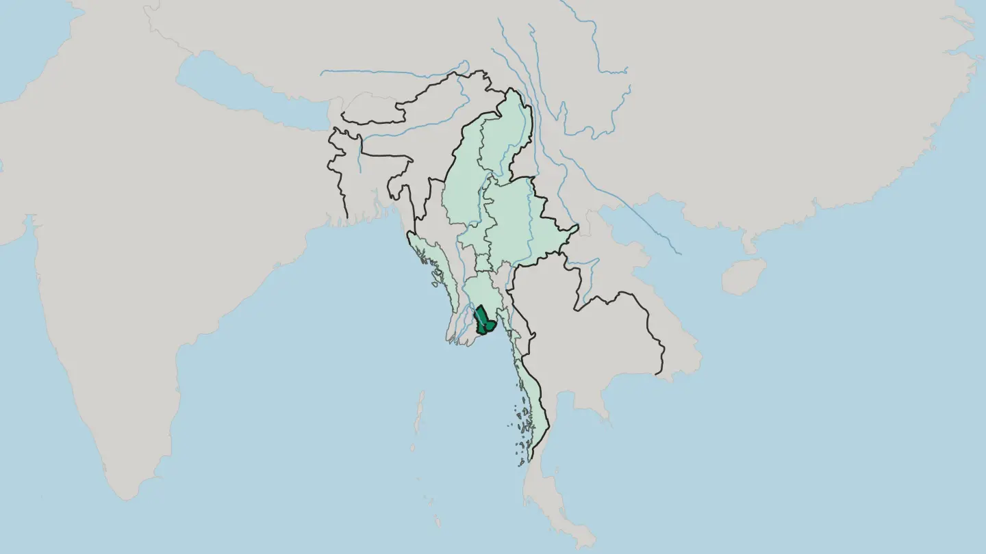
About Myanmar
Myanmar is best known for its Buddhist monuments.
What is Myanmar known for?
The plain of Bagan holds thousands of brick temples and stupas above a bend of the Irrawaddy, and in Yangon the gilded Shwedagon Pagoda rises over the largest city. Its landscapes carry equal weight. Fishermen row with one leg on Inle Lake in the eastern hills, while the palm-backed sand of Ngapali edges the Bay of Bengal to the west.
Ancient royal Mandalay anchors the dry central plain. The name Burma is still widely used.
Where is Myanmar?
Myanmar occupies the western edge of mainland Southeast Asia, wrapped around the long valley of the Irrawaddy. The river orders the whole country. It gathers in the far north near Mount Hkakabo Razi, the highest point in the land, then runs the length of the interior to spread into a vast rice-growing delta on the Bay of Bengal.
Along the way it passes the dry central belt around Mandalay and Bagan, a hot rain-shadow zone where the temples stand. Hills and mountains ring this core on three sides. Chin ranges wall off the west toward India, the eastern Shan plateau climbs toward China and Thailand, and northern spurs of the Himalayas close the top of the map.
The coast tells its own story. A long shoreline runs south down the Tanintharyi panhandle toward the Andaman Sea, with the beaches of Ngapali and hundreds of offshore islands facing open water. Inland, Inle Lake sits in a mountain basin high in the east, ringed by hill villages.
Rivers, plains, and mountain walls slice the country into sharply different worlds. One river ties them together.
What is the history of Myanmar?
Myanmar carries one of Southeast Asia's longest royal histories. The story of a unified country begins with the Pagan Kingdom, whose kings from the 11th century raised the temple plain of Bagan and made Theravada Buddhism the faith of the land. Power later shifted upriver.
A succession of dynasties governed from the dry centre, and the Konbaung dynasty, founded in 1752, built the last Burmese empire and set its capital at Mandalay before losing it. The turn came from the sea. Three Anglo-Burmese wars in the 19th century brought the whole country under British rule, and Burma was governed for decades as part of British India, its rice and teak shipped out through Yangon.
Independence followed the Second World War. The nation became a republic in 1948, though its independence hero, Aung San, was assassinated the year before he could lead it. Decades of military rule and ethnic conflict shaped the country that followed.
The capital itself moved again in 2005, from Yangon inland to the purpose-built city of Naypyidaw. Kings, colonists, and generals each left their mark on the map.
What is Myanmar like?
Myanmar's culture rests on Theravada Buddhism and the many peoples who share the land. Gilded stupas and monasteries mark almost every town, and the Shwedagon Pagoda in Yangon stands as the spiritual centre of the whole country. Daily life turns around the monastery.
Boys enter as novices, monks in dark red robes collect alms at dawn, and the year is shaped by Buddhist festivals, above all the water-throwing new year of Thingyan. The country is far from uniform, though. Bamar people fill the Irrawaddy heartland, while Shan, Kachin, Chin, Karen, Mon, and Rakhine peoples hold the surrounding hills and coasts, each with its own dress, language, and cooking.
Food ties it together. A bowl of mohinga, fish broth over rice noodles, counts as the national breakfast, and pickled tea-leaf salad turns up at every gathering. Lacquerware from Bagan, marionette theatre, and the habit of daubing thanaka paste on the cheeks all read as unmistakably Burmese.
The old Burmese script still curls across every signboard. One faith, many nations, meets at the pagoda.
What is the climate of Myanmar?
Myanmar runs on a tropical monsoon calendar of three seasons. The cool, dry months from roughly November to February bring the clearest skies and the easiest travel, when mornings over Bagan and Inle Lake turn crisp. A fierce hot season follows through spring, and the central belt around Mandalay bakes in its Irrawaddy rain-shadow.
Then the south-west monsoon breaks. From about June rain sweeps in off the Bay of Bengal, soaking the coast and delta while the dry centre stays lighter. Dry, hot, wet: the year moves in that order.
How do you get to Myanmar?
Most visitors reach Myanmar by air through Yangon. The country's main international gateway sits in the largest city, with a second hub at Mandalay serving the centre and north. Overland crossings from Thailand exist but are limited.
Because the distances between the temple plain, Inle Lake, and the Ngapali coast are long, and roads are slow, travellers usually chain the highlights by short domestic flights rather than driving. Yangon is where nearly every trip begins.
Good for
Updated September 2026