Norway · Innlandet
Where to Stay in Vinstra, Innlandet


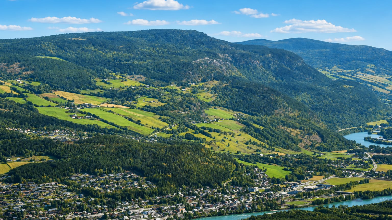
Vinstra is a valley town in the western part of Innlandet, in south-eastern Norway (Østlandet), where the Vinstra meets the Gudbrandsdalslågen.
Find your area →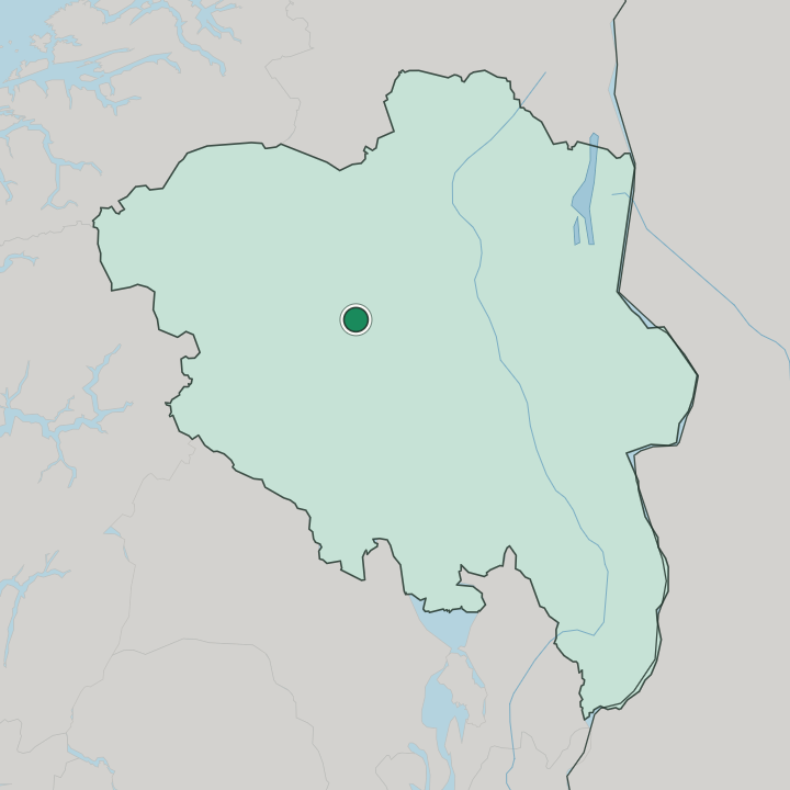

Where to stay in Vinstra
Where you base yourself shapes the visit — here's the character of each area.
The town centre is the obvious base in Vinstra. It sits at the confluence in the Gudbrandsdalen valley, with the everyday services of Nord-Fron gathered close and Sødorp kirke near at hand, so a room here keeps shops, the station, and the riverside within walking reach while the valley road runs on past. The outlying parishes are the quieter choice.
Kvikne kirke and Kvam kirke stand among scattered farms well back from the centre, and beds are scarce that far up the slopes. Rooms are thin out there. Stay at the Vinstra centre first if everyday services and Fron badeland within easy reach matter most to you.
Choose the outlying farms only when valley quiet outweighs convenience. Either keeps you beside the Gudbrandsdalslågen in south-eastern Norway (Østlandet).
Things to do in Vinstra
Ranked by global recognition; descriptions from Wikidata (CC0).
Churches & Religious Sites
4- Kvam kirke Heritage church building in Nord-Fron
- Kvikne kirke Heritage
- Sødorp kirke Heritage
- Sødorp kapell Heritage
Stadiums & Sports
1- Kvam idrettspark sports center in Nord-Fron
worth knowingacross 2 categories in Vinstra
About Vinstra
Vinstra is the administrative centre of Nord-Fron.
What is Vinstra known for?
It stands in the Gudbrandsdalen valley at the confluence of the Gudbrandsdalslågen river and the Vinstra river, the meeting of waters that gave the town its name. The old parishes ring it: Sødorp kirke and Sødorp kapell close at hand, with Kvikne kirke and Kvam kirke further out. A valley town at a river junction in the western part of Innlandet, Vinstra gathers the everyday life of Nord-Fron in one place.
What are the main landmarks in Vinstra?
The landmarks gather around church and water. Sødorp kirke and Sødorp kapell mark the town parish, with Kvikne kirke and Kvam kirke serving the older settlements up the Gudbrandsdalen slopes, all four under heritage protection. The valley also keeps its lighter draws.
Fron badeland brings a swimming hall to the confluence, and Kvam idrettspark gives the district its sports ground, so worship, water, and play all sit within the reach of this one valley town.
What is the history of Vinstra?
Vinstra grew where two rivers meet. The Vinstra river joins the Gudbrandsdalslågen here, and the settlement took its name and its place from that junction in the Gudbrandsdalen valley. Older parishes came first, scattered up the slopes: Kvikne kirke and Kvam kirke for the upland farms, Sødorp kirke and the early Sødorp kapell down on the valley floor near the water.
The town that pulled these parishes together became the centre of Nord-Fron. As the valley road and the railway followed the watercourse, Vinstra gathered the district's services and trade at the confluence, and the four heritage churches still ring the place that grew between them. Vinstra never became a city.
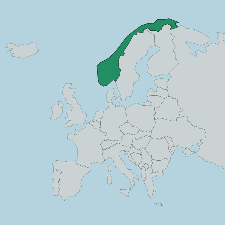
It stayed a valley town at a river junction in the western part of Innlandet, the administrative seat of Nord-Fron, and that is the shape it carries to this day in south-eastern Norway (Østlandet).
Where is Vinstra?
Vinstra sits on the floor of the Gudbrandsdalen valley. Two rivers meet here. The town stands at the confluence where the Vinstra river runs into the Gudbrandsdalslågen, in the western part of Innlandet, with farms and the parish churches climbing the slopes on either side rather than spreading across flat ground.
The valley walls rise close. This is interior Østlandet, threaded by the watercourse and set well back from any coast.
What is the climate of Vinstra?
Vinstra feels its weather deep inland in the valley. Winters here run cold and the snow lies long along the Gudbrandsdalen floor. Summers turn green and pleasant.
The sheltered valley position at the Gudbrandsdalslågen confluence gives sharper seasonal swings than any coast would, a cold-and-thaw rhythm that has long shaped the farming year on the slopes around Kvikne kirke and Kvam kirke in the western part of Innlandet.
How do you get to Vinstra?
Vinstra sits on the main valley route. The town lies along the Gudbrandsdalen corridor in the western part of Innlandet, reached by the road and railway that follow the Gudbrandsdalslågen up the valley. The town centre at the confluence is the easiest point to aim for, with the outlying parishes around Kvikne kirke and Kvam kirke a further climb up the slopes.
Trains and the valley road both call here.
Good for
More cities in Innlandet
Updated July 2026