United States · New York · New York City
Springfield Gardens, New York City — Area Guide & Where to Stay
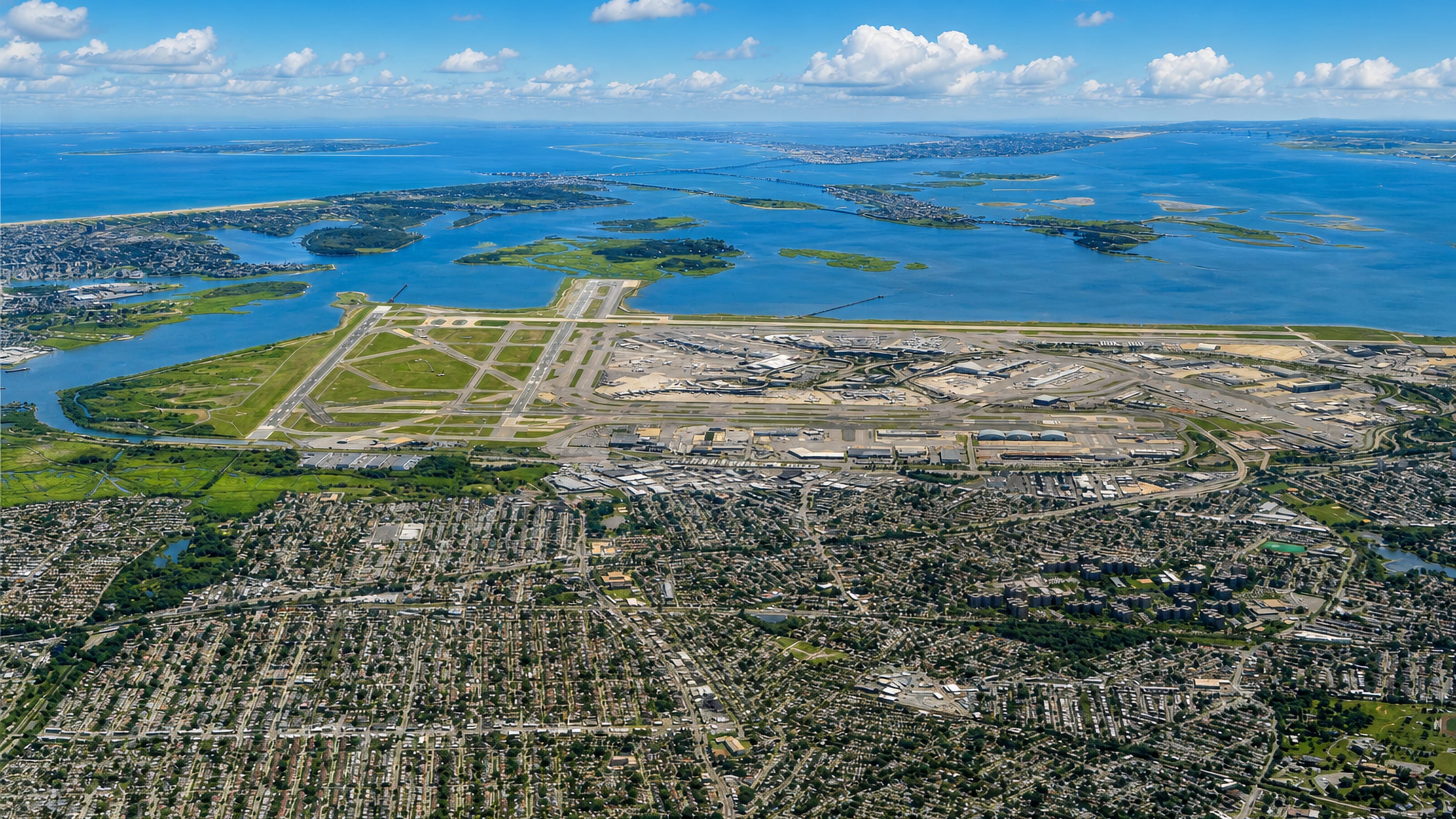
Springfield Gardens lies in the southeastern area of the Queens borough of New York City, with Farmers Boulevard on its western side.
Hotel links are affiliate links: booking through them may earn us a commission, at no extra cost to you. It never affects how places are ranked. How this works


Where to stay in Springfield Gardens
How the choice of base plays out on the ground.
Springfield Boulevard splits the neighborhood. East of that road the ground is often called Brookville instead, a second name for the same stretch of southeastern Queens, while everything to the west of it runs out at Farmers Boulevard. St. Albans holds the northern approach, Laurelton and Rosedale the eastern one, and all three put a bed within easy reach of the same Queens Community Board 12 district.
John F. Kennedy International Airport lies along the southern boundary, which makes an early flight simple to reach from either half.
Find hotels in Springfield Gardens
Direct booking searches for these neighbourhoods.
Brookville
The part of Springfield Gardens east of Springfield Boulevard is sometimes called Brookville, and it is the half that faces Laurelton and Rosedale. Few places to stay nearby — book ahead.Find hotels in BrookvilleStays on the northern approach to Springfield GardensSt. Albans
St. Albans bounds Springfield Gardens on the north, the flank that lies furthest from the airport boundary.Find hotels in St. AlbansRooms on the eastern rim of Queens Community Board 12Laurelton and Rosedale
Laurelton and Rosedale bound Springfield Gardens on the east, out past the Brookville side of Springfield Boulevard. Beds are limited here, so book early.Find hotels in Laurelton and RosedaleBases on the western limit of Springfield GardensThe Farmers Boulevard side
Farmers Boulevard forms the western boundary of Springfield Gardens, and it is the line the neighborhood's grid runs out to on that flank. Few places to stay nearby — book ahead.Find hotels in The Farmers Boulevard sideHotel links are affiliate links: booking through them may earn us a commission, at no extra cost to you. It never affects how places are ranked. How this works
About Springfield Gardens
What are the main landmarks in Springfield Gardens?
Two boulevards do the naming here. Farmers Boulevard closes the western boundary and Springfield Boulevard cuts across it, the second of them marking the point past which the neighborhood is sometimes called Brookville instead. John F. Kennedy International Airport supplies the largest structure on any boundary, filling the whole southern side of the neighborhood.
The rest is street grid. St. Albans, Laurelton and Rosedale carry the named ground on the other three sides, all of it inside Queens Community Board 12.
What is the history of Springfield Gardens?
Two names cover one place. The area east of Springfield Boulevard is sometimes still called Brookville, so a single neighborhood in the southeastern area of the borough of Queens has carried two labels side by side rather than settling on one. Officialdom had the last word.
Springfield Gardens answers to Queens Community Board 12, and its boundaries were drawn against Farmers Boulevard on one side and against the airport ground on the other.
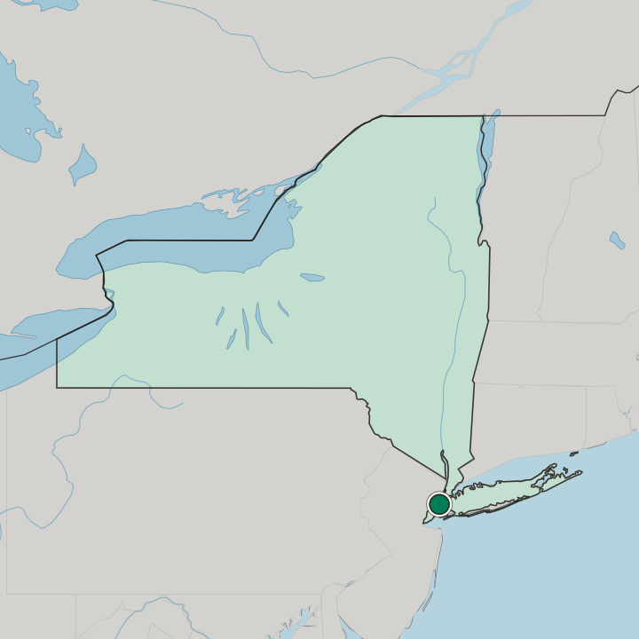
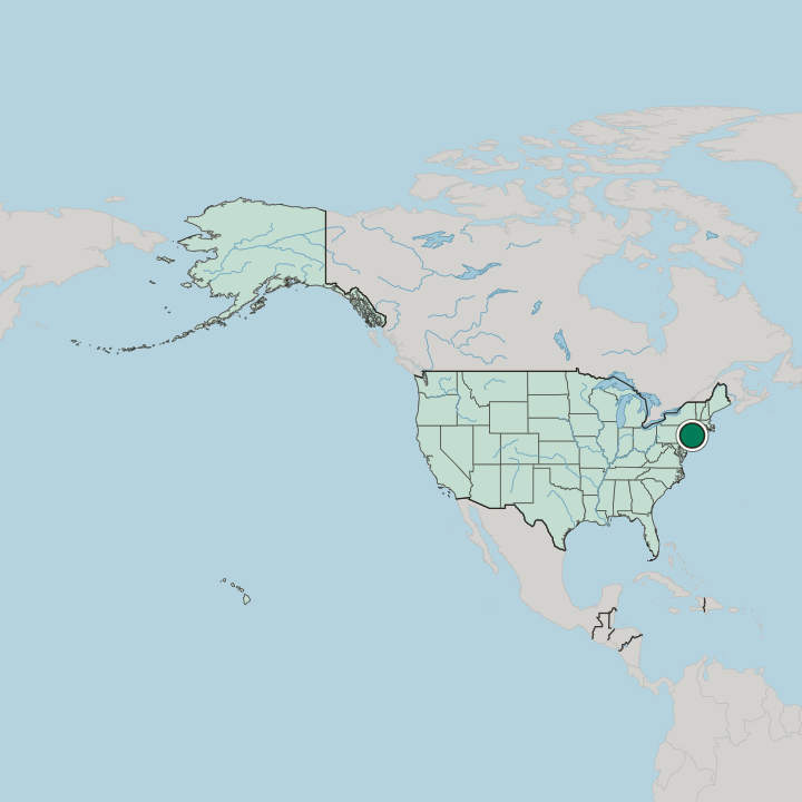
Where is Springfield Gardens?
St. Albans bounds the neighborhood to the north, Laurelton and Rosedale to the east, and Farmers Boulevard to the west.
Common questions
What is the best area to stay in Springfield Gardens?
Brookville: Beds east of Springfield Boulevard in the Brookville half. St. Albans: Stays on the northern approach to Springfield Gardens. Laurelton and Rosedale: Rooms on the eastern rim of Queens Community Board 12. The Farmers Boulevard side: Bases on the western limit of Springfield Gardens.
More areas in New York City
Updated September 2026