United States · New York
Where to Stay in New York City, New York
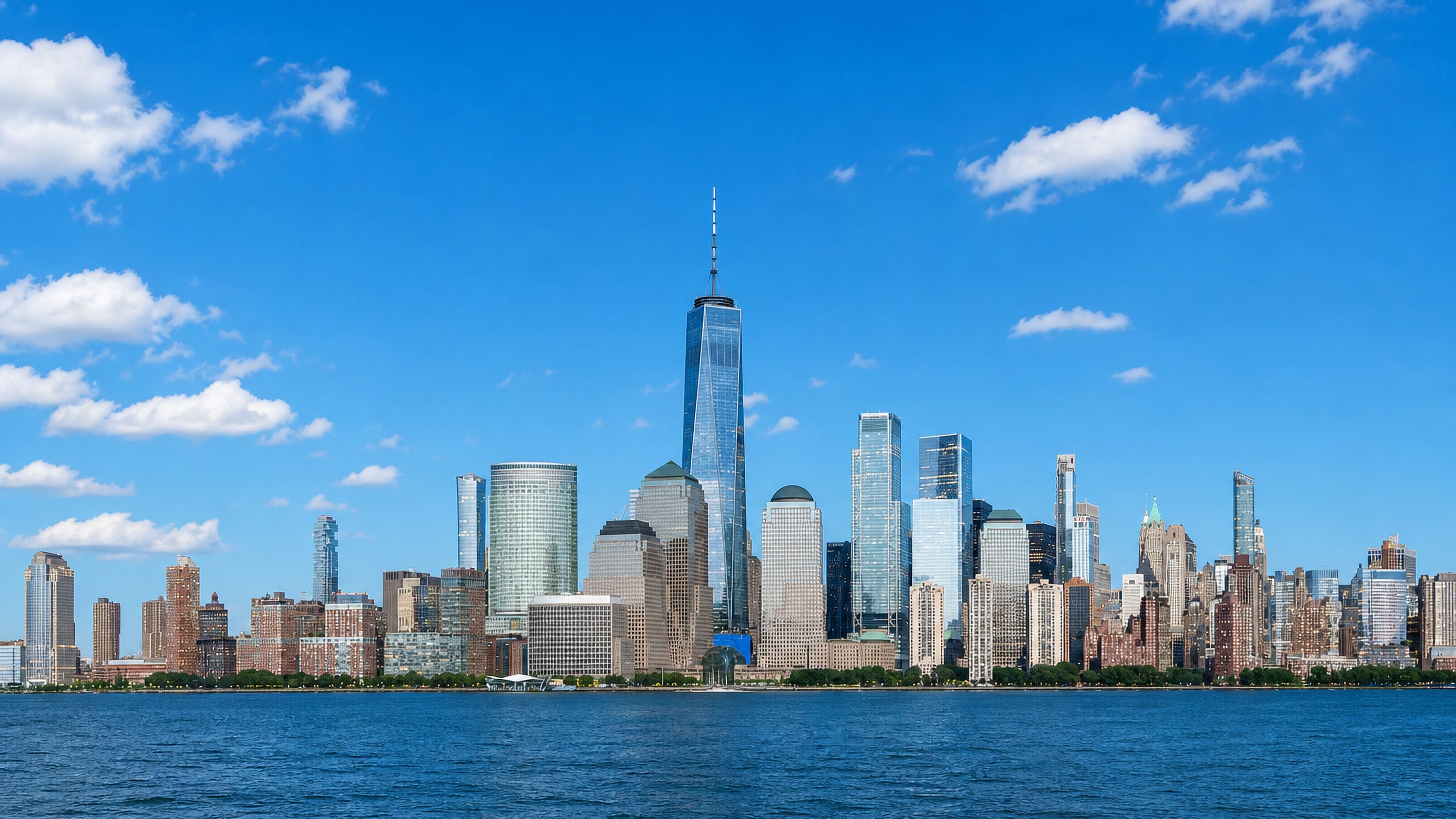
New York City sits at the mouth of New York Harbor, the largest city in the United States, known for its five boroughs and the Brooklyn Bridge.
Hotel links are affiliate links: booking through them may earn us a commission, at no extra cost to you. It never affects how places are ranked. How this works


Where to stay in New York City
Where you base yourself shapes the visit — here's the character of each area.

 New York CityUnited States
Tribeca
Tribeca is a loft quarter of Lower Manhattan, its name short for Triangle Below Canal, running west from Broadway to the Hudson River.Tribeca →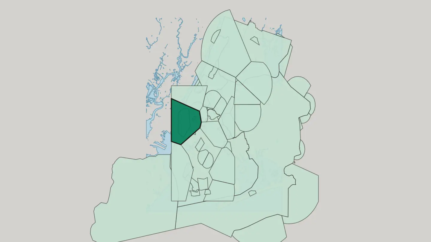
 New York CityUnited States
Financial District
The Financial District, or FiDi, fills the southern tip of Manhattan between the Hudson River and the East River.Financial District → New York CityUnited States
Chinatown
Chinatown takes up a stretch of Lower Manhattan between Tribeca and the Lower East Side, its centre shifted east from Mott Street toward East Broadway.Chinatown →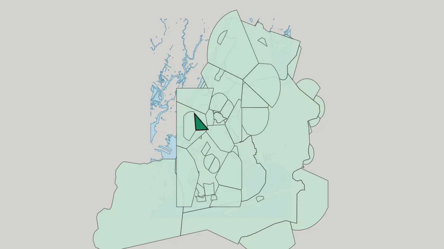
 New York CityUnited States
Battery Park City
Battery Park City is a planned neighborhood on the Hudson River waterfront at Manhattan's southern tip, on land held by New York State.Battery Park City →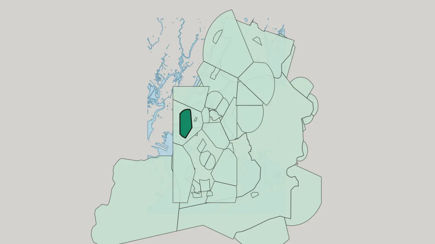
 New York CityUnited States
Little Italy
Little Italy is an Italian ethnic enclave in New York City, its parish anchored by St. Patrick's Old Cathedral.Little Italy →
 New York CityUnited States
Bowery
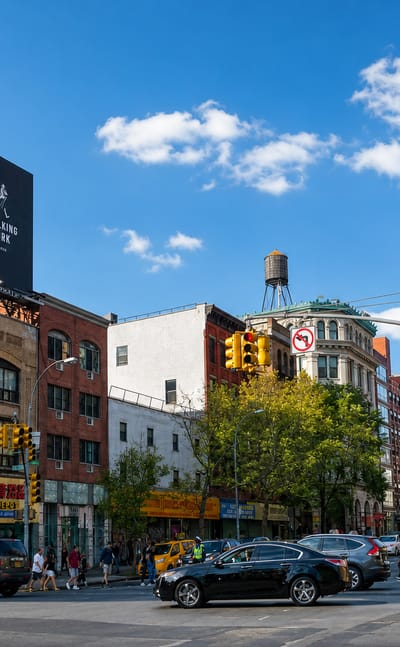
The Bowery is a street and neighborhood in Lower Manhattan, running through the old heart of New York City.Bowery → New York CityUnited States
Brooklyn Heights
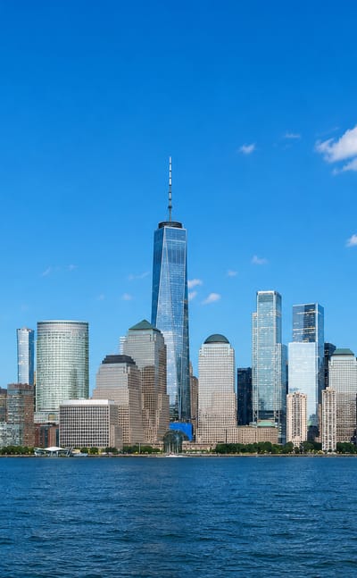
Brooklyn Heights is a residential neighborhood above the East River, running from the Brooklyn Bridge south to Atlantic Avenue.Brooklyn Heights →
 New York CityUnited States
Breuckelen
Breuckelen is the Dutch spelling behind Brooklyn, a New York City district along Fulton Street between Brooklyn Heights and Fort Greene.Breuckelen →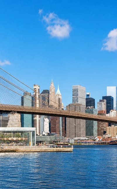 New York CityUnited States
Manhattan
Skyscrapers crowd Manhattan Island, the urban core of New York City and its financial and cultural center, known for the Museum of Modern Art.Manhattan →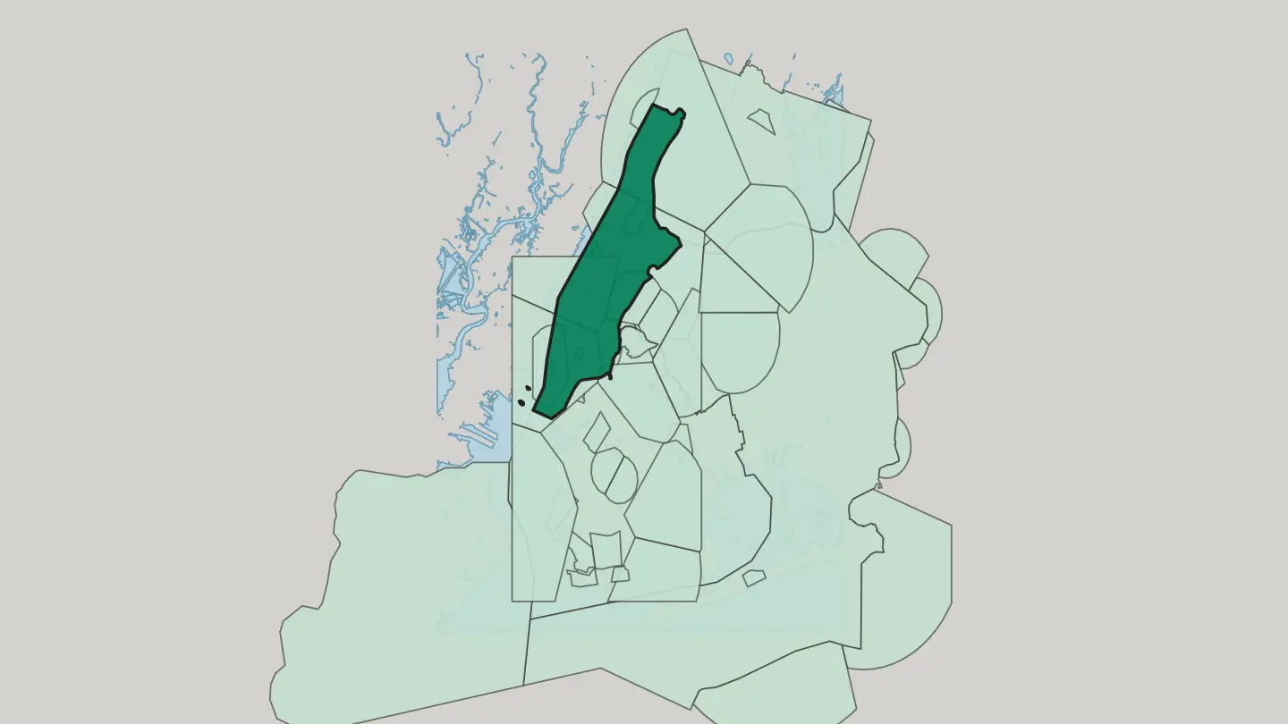
 New York CityUnited States
East Village
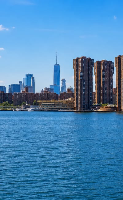
The East Village covers part of the East Side of Lower Manhattan, east of the Bowery and south of 14th Street.East Village →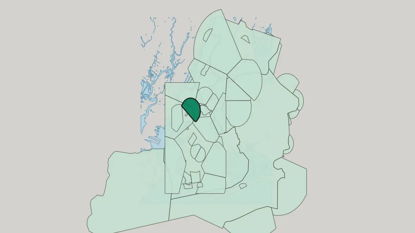
 New York CityUnited States
Peter Cooper Village
Peter Cooper Village is a post-war residential enclave on Manhattan's East Side, the northern half of the Stuyvesant Town complex in New York City.Peter Cooper Village → New York CityUnited States
Williamsburg
Williamsburg is a Brooklyn neighborhood on the East River, one subway stop from Manhattan and an independent city until Brooklyn annexed it in 1855.Williamsburg →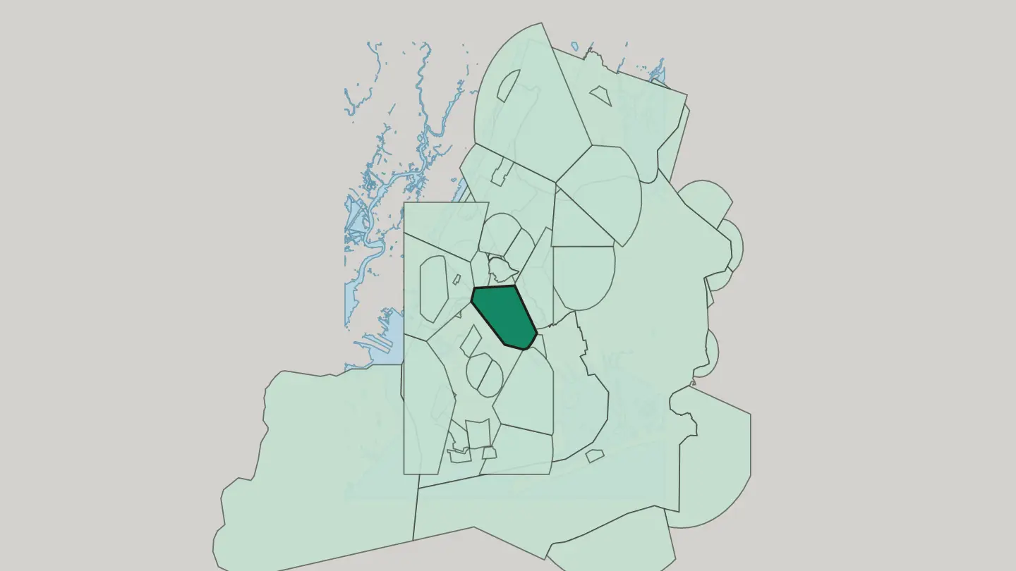
All neighbourhoods (86)
 New York CityUnited States
Greenpoint
Greenpoint is the northernmost neighbourhood of Brooklyn, a Polish-marked grid of streets between the East River and Newtown Creek.Greenpoint →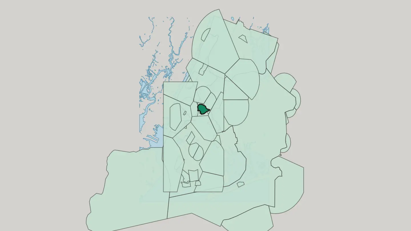
 New York CityUnited States
Park Slope
Park Slope climbs from Fourth Avenue to Prospect Park, a Brooklyn neighborhood of brownstone side streets and two long shopping avenues.Park Slope →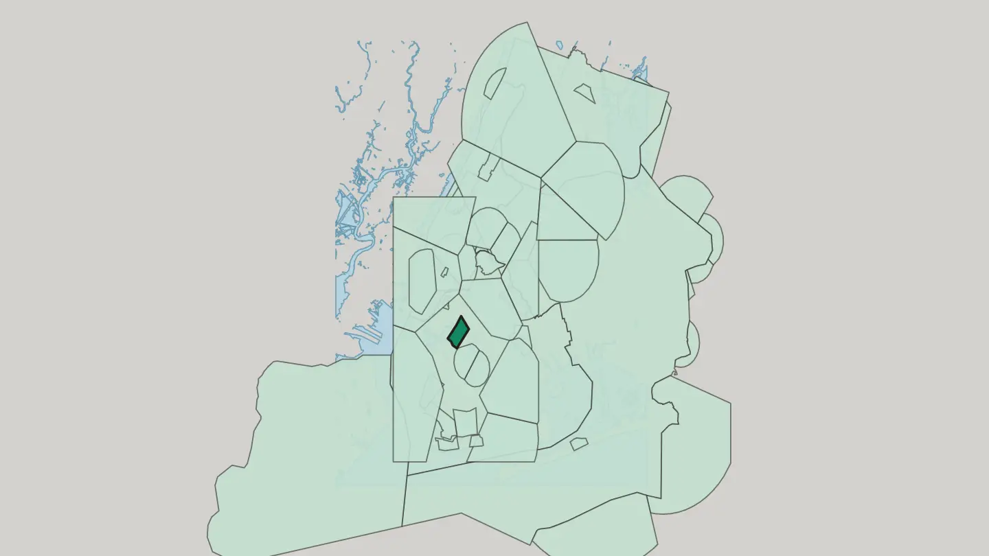
 New York CityUnited States
Hell's Kitchen
Hell's Kitchen runs up the West Side of Midtown Manhattan, from 34th Street to 59th Street, between Eighth Avenue and the Hudson River.Hell's Kitchen →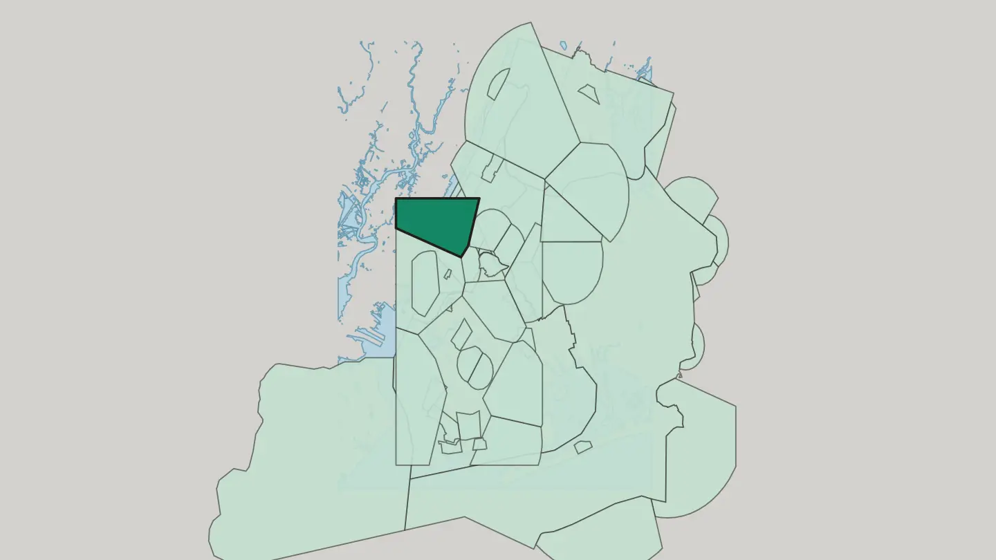
 New York CityUnited States
Long Island City
Long Island City, or LIC, occupies the western tip of Long Island, an East River frontage of Queens between Astoria and Newtown Creek.Long Island City →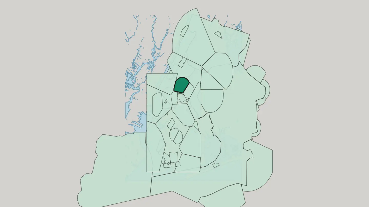
 New York CityUnited States
Sunnyside
Sunnyside occupies the western portion of the Queens borough of New York City, with the Sunnyside Yard rail complex along its northern edge.Sunnyside →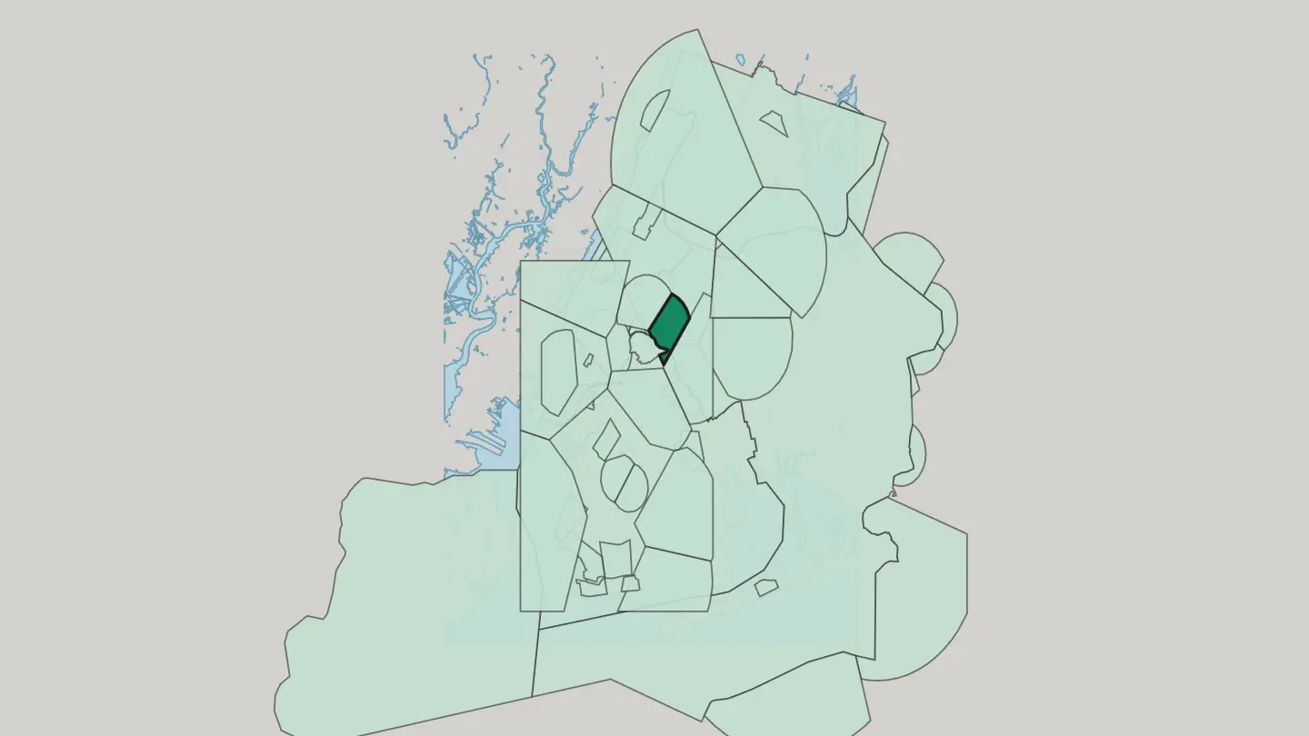
 New York CityUnited States
Dutch Kills
Dutch Kills is a small neighbourhood in the Long Island City section of Queens, in New York City.Dutch Kills → New York CityUnited States
Bushwick
Bushwick fills the northern part of Brooklyn, its avenues running between Williamsburg, Ridgewood in Queens, and Bedford-Stuyvesant.Bushwick →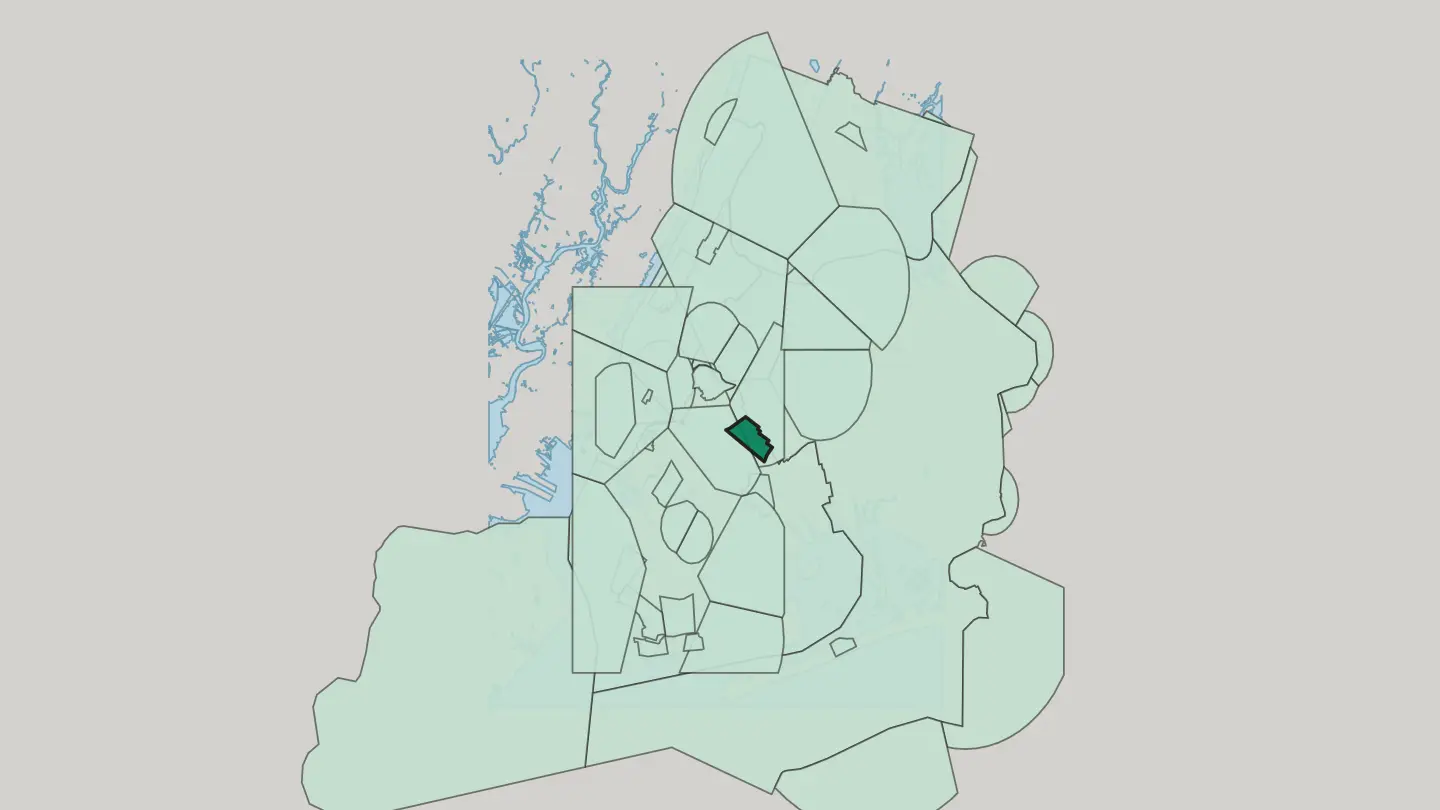 New York CityUnited States
Maspeth
Maspeth is a residential and commercial community in the New York City borough of Queens, founded in 1642 by Dutch and English settlers.Maspeth →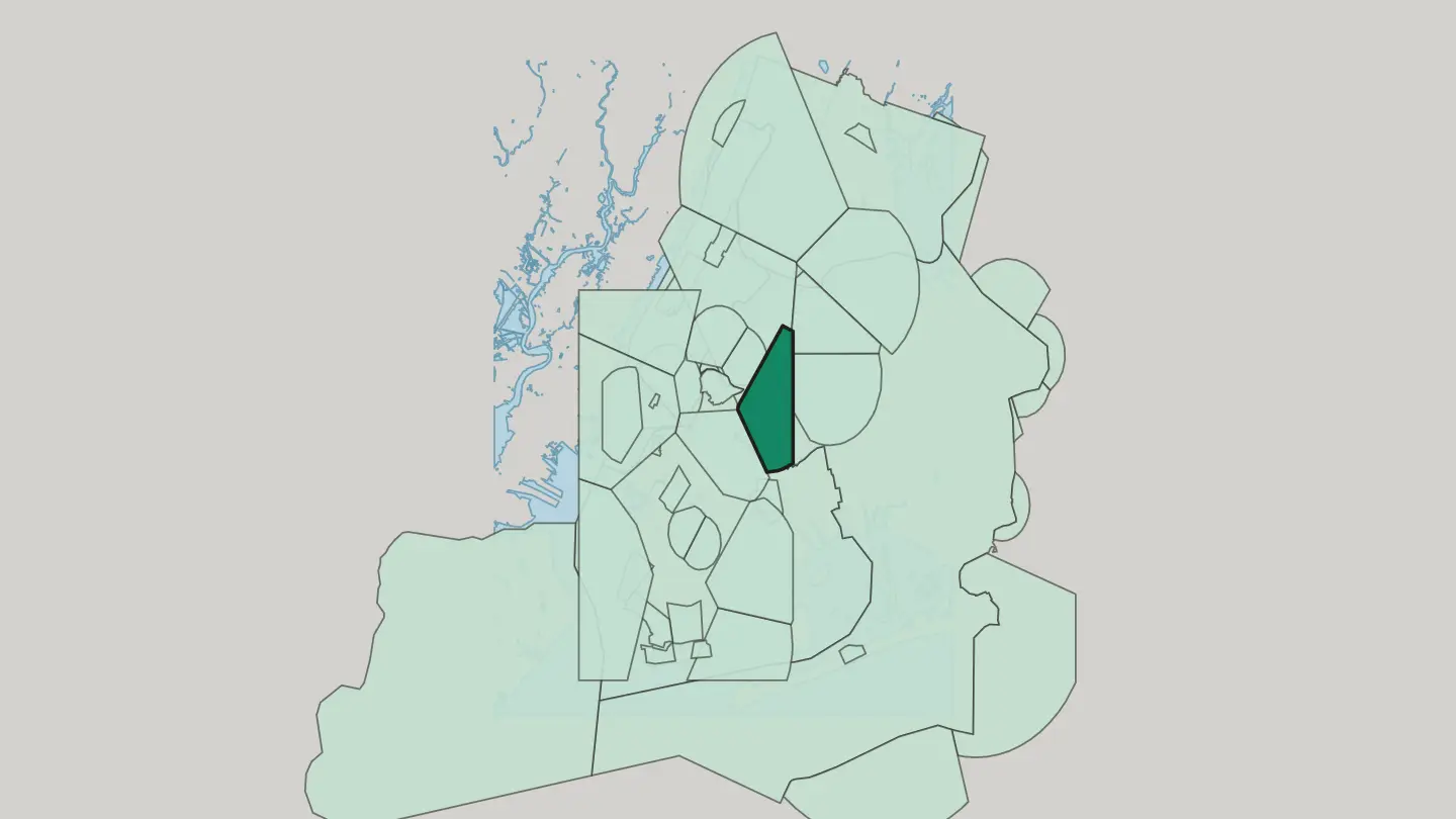 New York CityUnited States
Kensington
Kensington is a central Brooklyn neighbourhood, lying just south of Prospect Park and Green-Wood Cemetery in New York City.Kensington →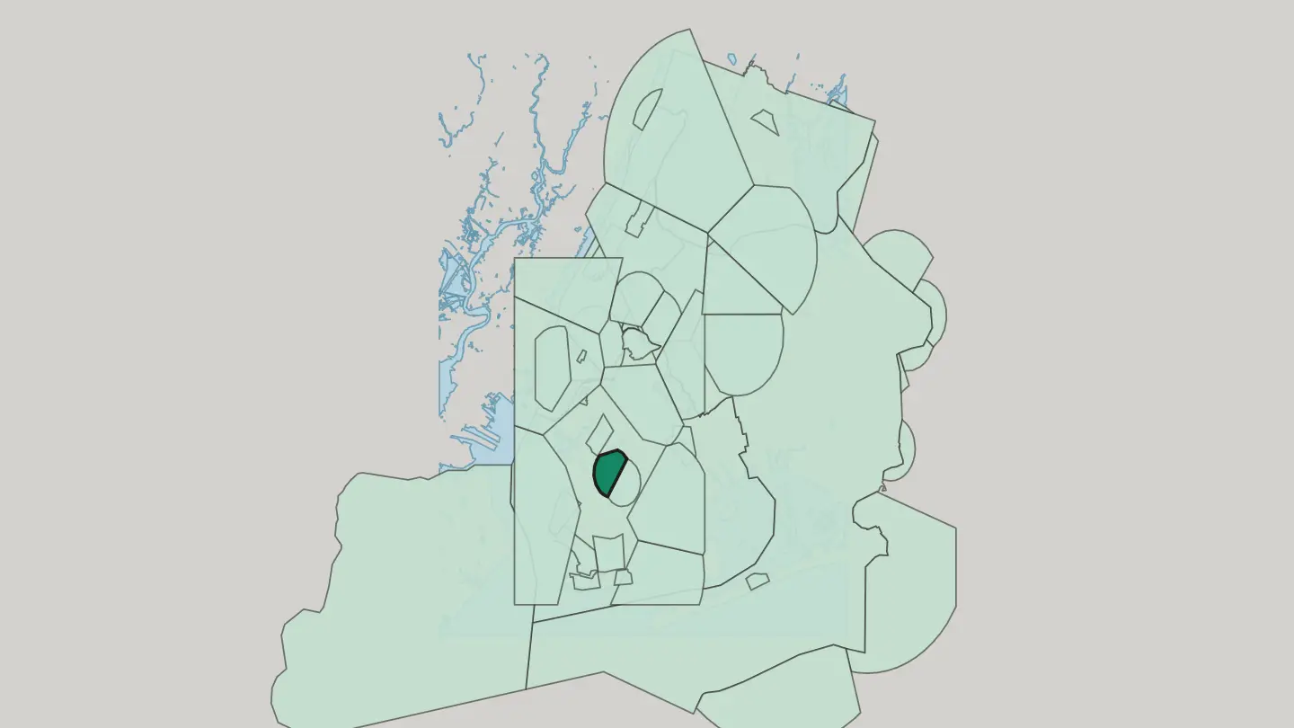
 New York CityUnited States
Brooklyn
The Brooklyn Bridge crosses the East River into Brooklyn, the most populous of the five boroughs of New York City, at the western end of Long Island.Brooklyn →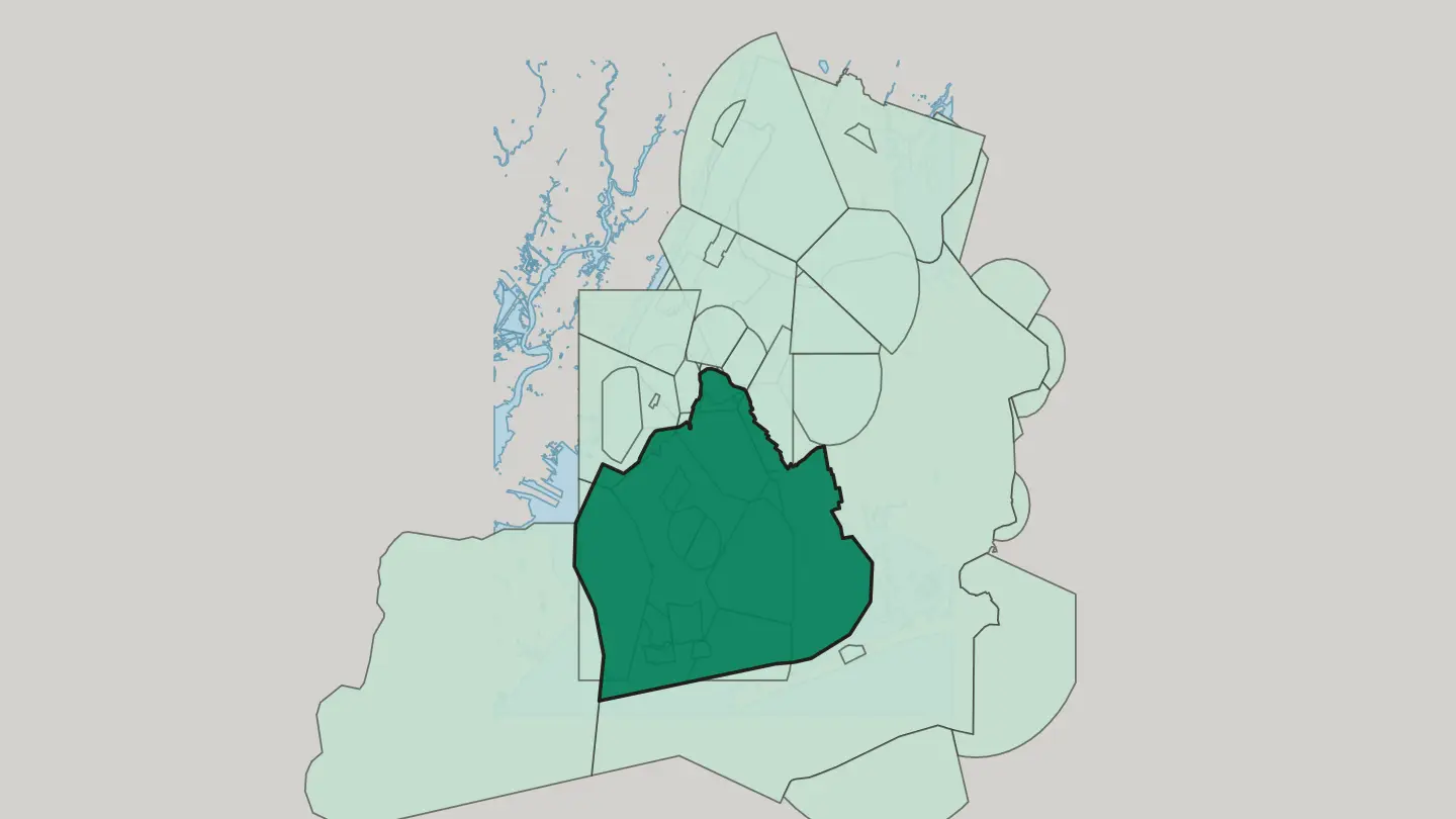
 New York CityUnited States
Ridgewood
Ridgewood is a Queens neighbourhood that historically straddled the Brooklyn boundary, bordered by Maspeth, Middle Village, Glendale and Bushwick.Ridgewood → New York CityUnited States
Upper West Side
Brownstone blocks run between Central Park and the Hudson River on the Upper West Side, a residential quarter of Manhattan in New York City.Upper West Side →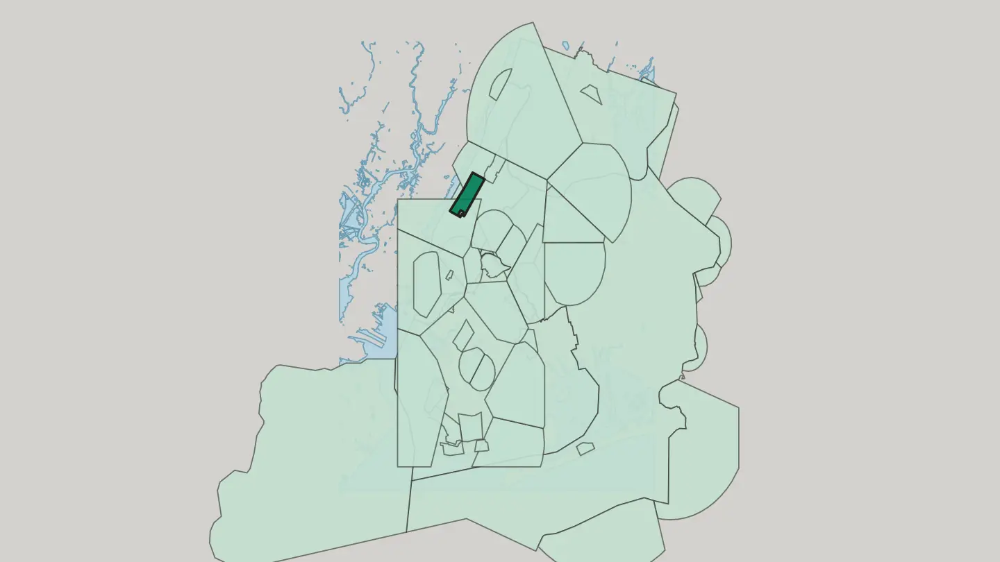 New York CityUnited States
Flatbush
Flatbush dates from 1651 and spreads across central Brooklyn, bounded by Prospect Park, Midwood, Kensington and East Flatbush.Flatbush →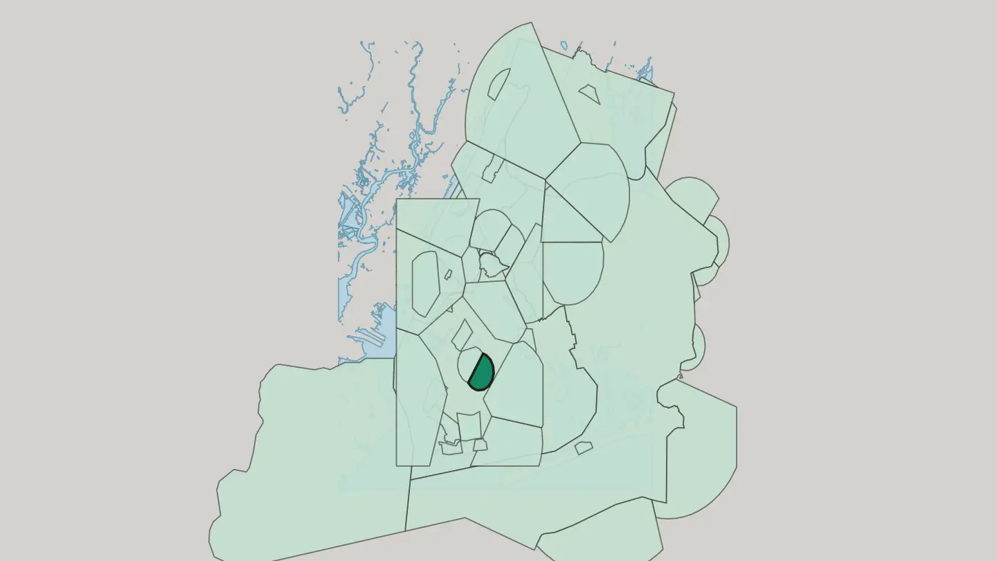
 New York CityUnited States
Borough Park
Borough Park occupies the southwestern part of Brooklyn, a New York City district set between Sunset Park, Bensonhurst, and Green-Wood Cemetery.Borough Park → New York CityUnited States
Woodside
Quiet streets, one busy avenue. Woodside sits in the western portion of Queens, with Astoria to the north, Maspeth to the south and Sunnyside just west.Woodside → New York CityUnited States
Astoria
Astoria is a neighborhood in the western part of Queens, bounded by the East River and known for the Museum of the Moving Image.Astoria →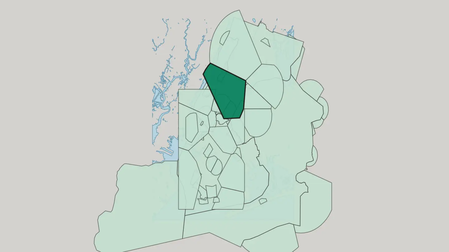
 New York CityUnited States
Brownsville
Founded in 1858, Brownsville is a residential district of eastern Brooklyn, hemmed by Crown Heights, East New York, and Canarsie.Brownsville →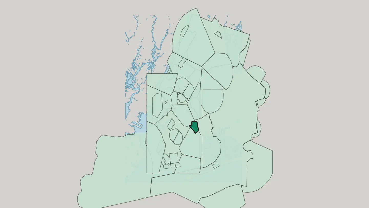 New York CityUnited States
East Flatbush
East Flatbush fills a stretch of Brooklyn between Crown Heights and Flatlands, edged by Empire Boulevard and New York Avenue.East Flatbush → New York CityUnited States
Cypress Hills
Cypress Hills is a residential corner of the eastern section of Brooklyn, pressed against the Cemetery Belt and the Queens borough line.Cypress Hills → New York CityUnited States
Middle Village
Middle Village occupies the central section of Queens, walled by the Long Island Expressway, Woodhaven Boulevard, Cooper Avenue and Mount Olivet Cemetery.Middle Village →New York CityUnited StatesDyker Heights
Dyker Heights is a residential neighborhood on a Brooklyn hill, ringed by Bay Ridge, Bensonhurst, Borough Park and Gravesend Bay.Dyker Heights →New York CityUnited StatesFort Hamilton
Fort Hamilton is a United States Army installation in the southwestern corner of Brooklyn, with Bay Ridge and Dyker Heights around it.Fort Hamilton → New York CityUnited States
East Harlem
East Harlem, also called Spanish Harlem or El Barrio, runs north from 96th Street through Upper Manhattan as far as the Harlem River.East Harlem → New York CityUnited States
Elmhurst
Elmhurst dates to 1652 and holds a square of Queens between Roosevelt Avenue and the Long Island Expressway.Elmhurst → New York CityUnited States
Jackson Heights
Jackson Heights is a neighbourhood of Queens whose kitchens run from Indian and Thai to Peruvian and Argentine.Jackson Heights → New York CityUnited States
East New York
East New York is a residential neighbourhood of Brooklyn, reaching from the Cemetery Belt south to Jamaica Bay.East New York → New York CityUnited States
Canarsie
Canarsie runs down to Jamaica Bay in the southeastern portion of Brooklyn, a residential district edged by Paerdegat Basin and Fresh Creek Basin.Canarsie →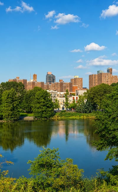 New York CityUnited States
Harlem
Jazz and brownstones define Harlem, a neighborhood in Upper Manhattan known worldwide as a center of African American culture.Harlem →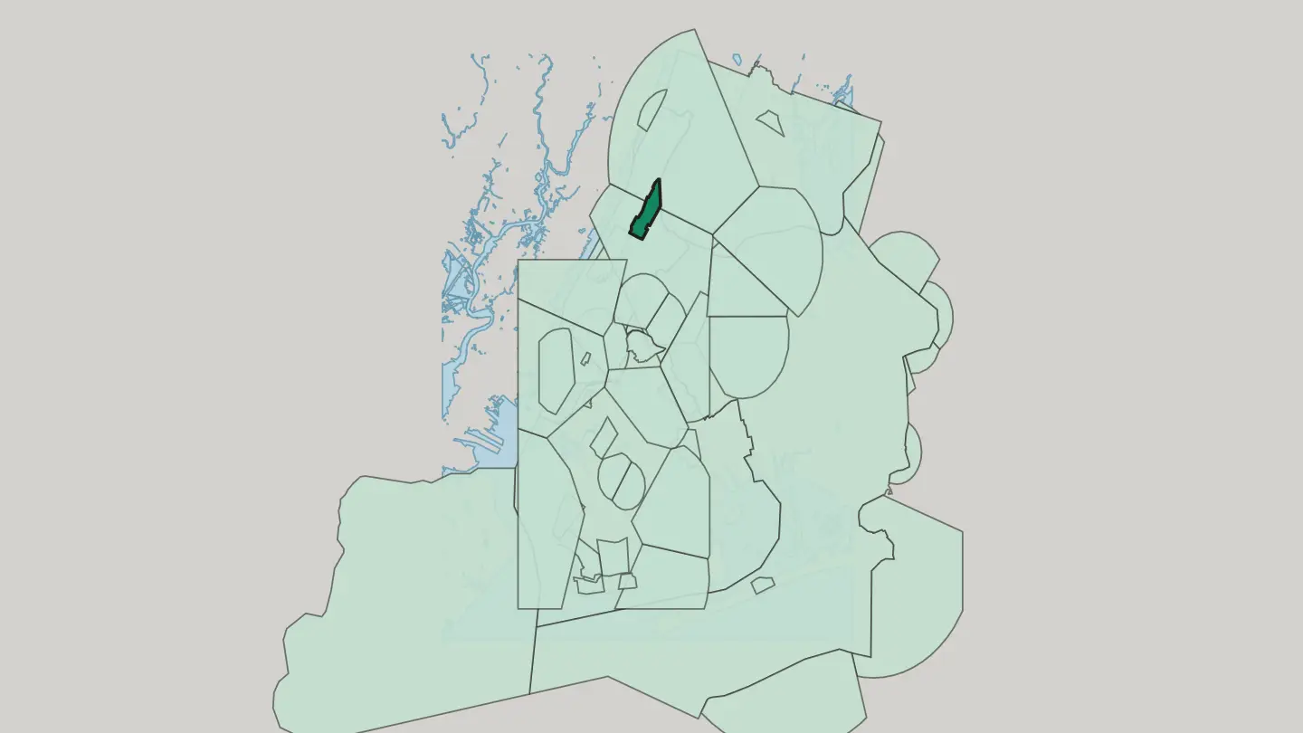
 New York CityUnited States
Flatlands
Avenue U, Ralph Avenue and Flatbush Avenue draw the edges of Flatlands, a southeast Brooklyn neighborhood holding four historic named sites.Flatlands →New York CityUnited States
Corona
Corona is a Queens neighborhood dating from 1854, spread between Flushing Meadows-Corona Park and the avenues running toward Jackson Heights.Corona →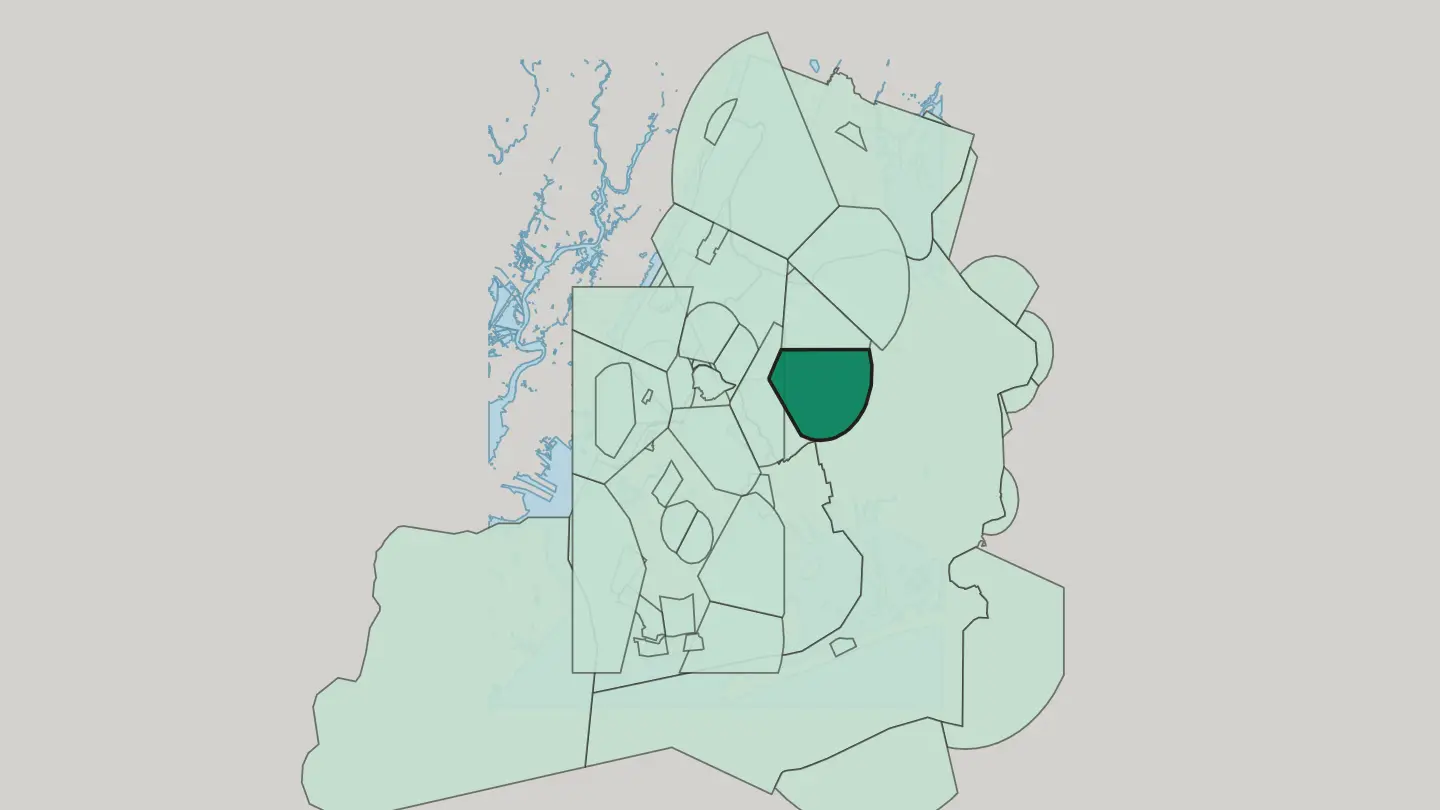
 New York CityUnited States
Bensonhurst
Bensonhurst is a residential Brooklyn neighborhood between 86th Street and 14th Avenue, keeping the New Utrecht Reformed Church.Bensonhurst →New York CityUnited StatesBath Beach
Bath Beach fronts Gravesend Bay in Brooklyn, bounded by 86th Street, 14th Avenue and Stillwell Avenue.Bath Beach →New York CityUnited StatesWoodhaven
Woodhaven is a residential neighborhood in southwestern Queens, running from Forest Park down to Atlantic Avenue and the edge of Ozone Park.Woodhaven → New York CityUnited States
Rego Park
Rego Park is a Queens neighbourhood of high-rise blocks and detached houses, framed by Queens Boulevard and the Long Island Expressway.Rego Park →New York CityUnited States
East Elmhurst
The Louis Armstrong House and LaGuardia Airport share one Queens neighborhood, East Elmhurst, between Jackson Heights and Bowery Bay.East Elmhurst →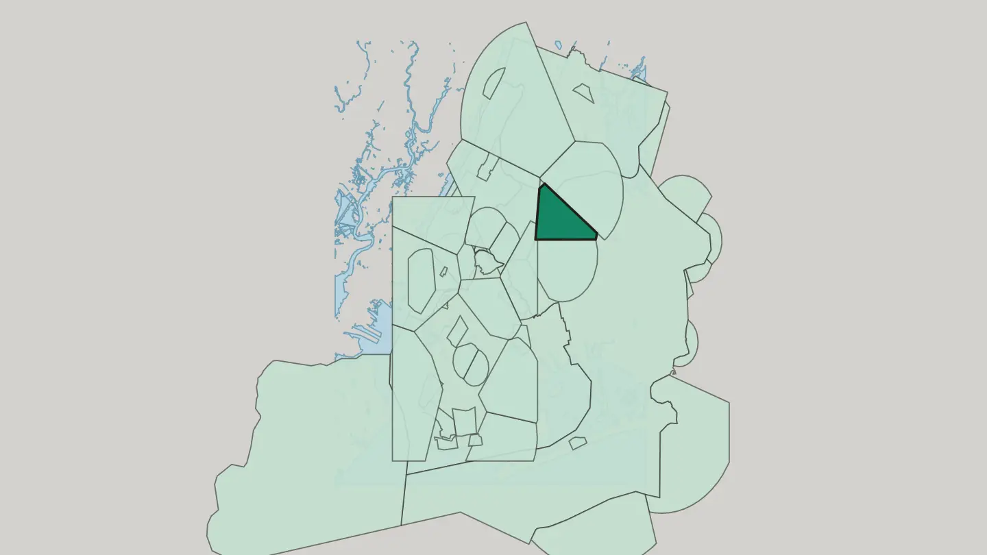 New York CityUnited States
Gravesend
Gravesend is a south-central Brooklyn neighbourhood on the southwestern edge of Long Island, boxed in between Ocean Parkway and Bay Parkway.Gravesend → New York CityUnited States
Forest Hills
Forest Hills sits in the central portion of Queens, a neighbourhood known above all for the West Side Tennis Club.Forest Hills →New York CityUnited StatesBergen Beach
Bergen Beach occupies a peninsula on Jamaica Bay in southeastern Brooklyn, ringed by Mill Basin, Flatlands, Canarsie and the Belt Parkway.Bergen Beach → New York CityUnited States
Ozone Park
Ozone Park is a residential neighborhood in the Queens borough of New York City, next to the Aqueduct Racetrack and its Thoroughbred racing.Ozone Park →New York CityUnited StatesKew Gardens
Kew Gardens lies in central Queens. Forest Park edges it to the west, the Van Wyck Expressway to the east, and Hillside Avenue to the south.Kew Gardens →New York CityUnited StatesRichmond Hill
Richmond Hill is a commercial and residential neighbourhood in the southwestern section of Queens, between Forest Park and South Ozone Park.Richmond Hill →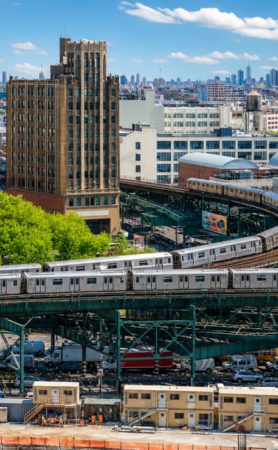 New York CityUnited States
Queens
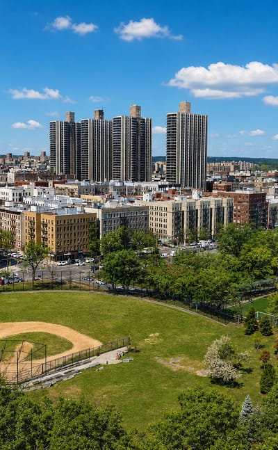
Immigrant kitchens and ballfields fill Queens, the largest borough of New York City by area and the most linguistically diverse place in the world.Queens →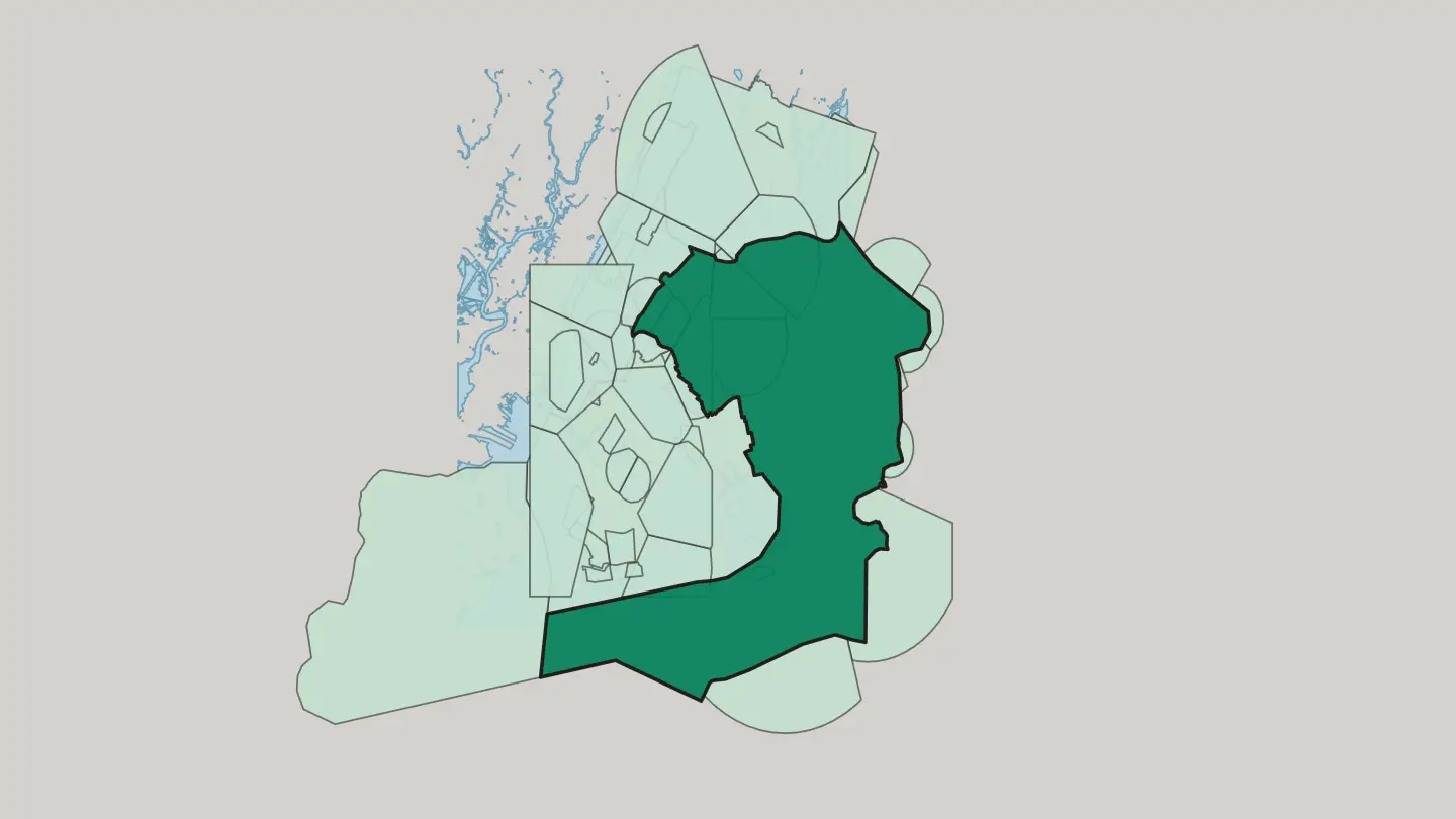
 New York CityUnited States
Highbridge
Highbridge is a Bronx neighbourhood of New York City wrapped around Yankee Stadium, home of Monument Park.Highbridge → New York CityUnited States
Coney Island
The Wonder Wheel turns above the sand at Coney Island, the amusement quarter on the Brooklyn oceanfront of New York City.Coney Island → New York CityUnited States
Brighton Beach
Brighton Beach fronts the Atlantic Ocean in southern Brooklyn, between Coney Island at Ocean Parkway and Manhattan Beach at Corbin Place.Brighton Beach → New York CityUnited States
Sheepshead Bay
Sheepshead Bay fronts the Atlantic Ocean. Ocean Parkway bounds it west, Kings Highway north, and Nostrand Avenue and Gerritsen Avenue east.Sheepshead Bay → New York CityUnited States
Howard Beach
Howard Beach lies in the southwestern portion of Queens, a low-rise neighbourhood of detached houses facing Jamaica Bay.Howard Beach →New York CityUnited StatesCollege Point
College Point is a working-middle-class neighborhood in Queens, wrapped by the East River to the north and Flushing Bay to the west.College Point → New York CityUnited States
Washington Heights
Washington Heights runs along the high ridge of northern Manhattan, held between the Hudson River and the Harlem River, just north of Harlem.Washington Heights →New York CityUnited StatesSouth Ozone Park
South Ozone Park sits in the southwestern section of Queens, in New York City, just north of John F. Kennedy International Airport.South Ozone Park → New York CityUnited States
Jamaica
Jamaica is a district of Queens, part of New York City, where the First Reformed Church stands.Jamaica →New York CityUnited StatesEast Tremont
East Tremont Avenue runs through the West Bronx neighborhood that shares its name, between East 180th Street and the Cross Bronx Expressway.East Tremont →New York CityUnited StatesFresh Meadows
Fresh Meadows fills a stretch of northeastern Queens between the Horace Harding Expressway and the Grand Central Parkway, once part of Flushing.Fresh Meadows → New York CityUnited States
Whitestone
Whitestone is a residential neighborhood in the northernmost part of Queens, edged by the East River and by Francis Lewis Boulevard.Whitestone →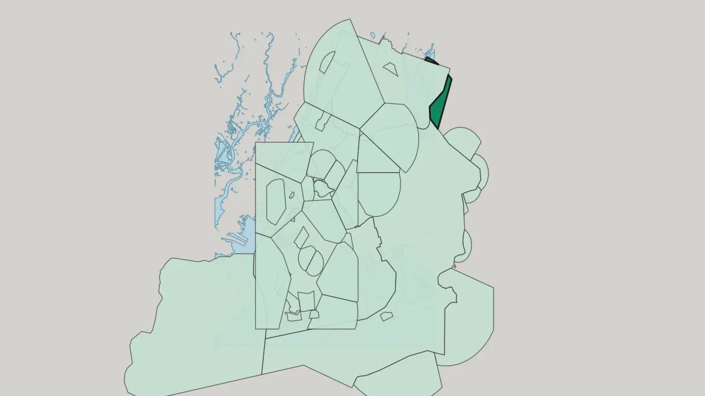
 New York CityUnited States
Inwood
Inwood is the neighbourhood at the northern tip of Manhattan Island, the last stretch of the borough before Marble Hill.Inwood →New York CityUnited StatesHillside
Hillside is a corner of Queens in New York City, where the Long Island Rail Road once worked a junction of the same name.Hillside →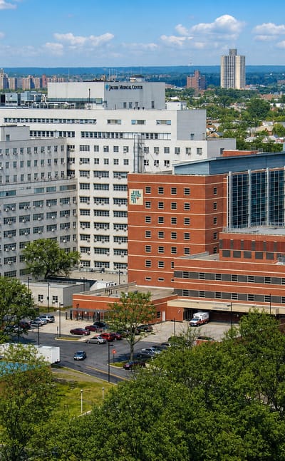 New York CityUnited States
The Bronx
Home crowds fill Yankee Stadium in The Bronx, the northernmost of the five boroughs of New York City, known too for the Bronx Zoo.The Bronx →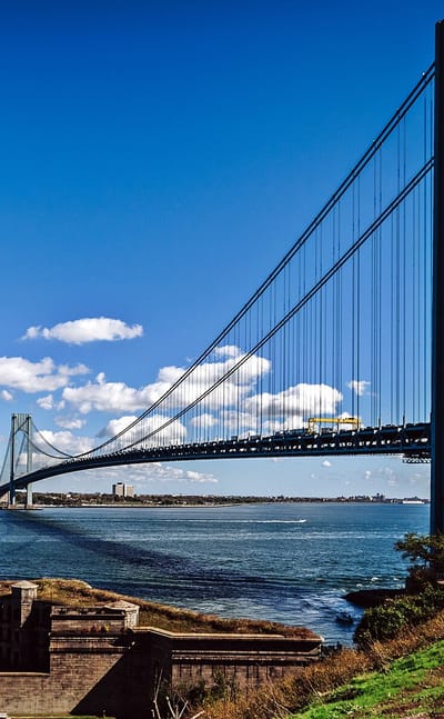 New York CityUnited States
Staten Island
Ferries cross New York Harbor to Staten Island, the southernmost and greenest of New York City's boroughs, known for Historic Richmond Town.Staten Island → New York CityUnited States
Hollis
Hollis is a residential neighborhood in the southeastern section of Queens, set between Jamaica and Queens Village in New York City.Hollis →New York CityUnited StatesBelle Harbor
Belle Harbor is a small residential neighborhood on the western half of the Rockaway Peninsula, the southernmost part of Queens in New York City.Belle Harbor → New York CityUnited States
Bayside
Bayside sits on the Queens shore of Little Neck Bay, bounded by Whitestone, Douglaston and Fresh Meadows within New York City.Bayside → New York CityUnited States
Seaside
Seaside is a section of the Rockaway Peninsula in the New York City borough of Queens, wedged between Rockaway Beach and Rockaway Park.Seaside → New York CityUnited States
Springfield Gardens
Springfield Gardens lies in the southeastern area of the Queens borough of New York City, with Farmers Boulevard on its western side.Springfield Gardens →New York CityUnited States
Queens Village
Queens Village is a mostly residential neighbourhood in the eastern part of the borough of Queens, running out to the Nassau County line at Elmont.Queens Village →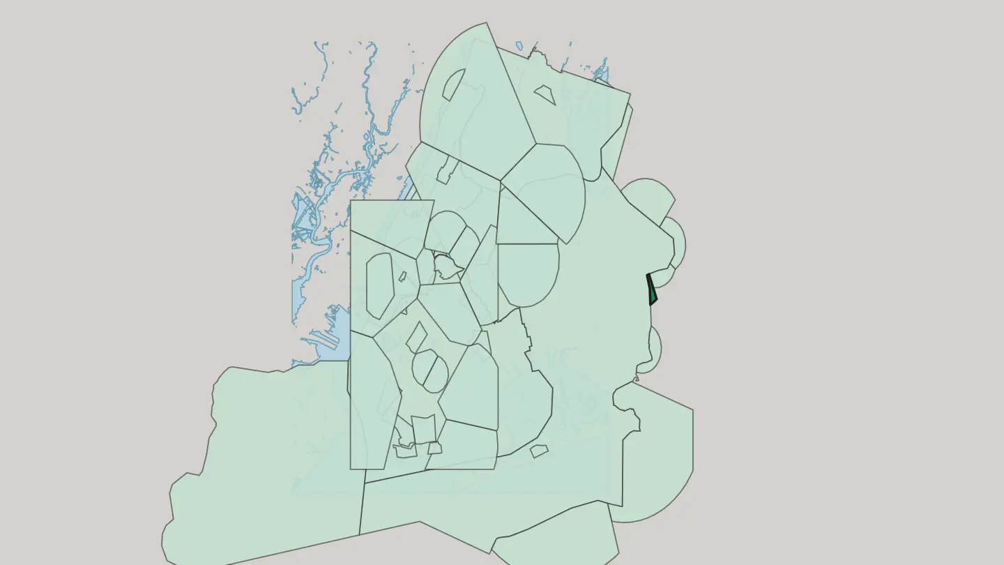
 New York CityUnited States
Laurelton
Laurelton is a neighbourhood of Queens in New York City, laid out by Dean Alvord as an English village and named for a Long Island Rail Road station.Laurelton →New York CityUnited StatesBaychester
Baychester is a neighborhood in the northeast part of the Bronx, framed by Gun Hill Road, Boston Road and the New England Thruway.Baychester → New York CityUnited States
Douglaston
Douglaston lies on the North Shore of Long Island, a Queens neighborhood between Bayside and the Nassau County line at Great Neck.Douglaston →New York CityUnited StatesArverne
Arverne takes in the stretch of the Rockaway Peninsula in Queens running from Beach 54th Street to Beach 79th Street along Beach Channel Drive.Arverne → New York CityUnited States
Cambria Heights
Cambria Heights is a residential neighborhood in the southeastern portion of Queens, held between Springfield Boulevard and the Nassau County line.Cambria Heights →New York CityUnited StatesRosedale
Rosedale is a New York City neighborhood in the southeastern portion of the borough of Queens, running out to the Nassau County line.Rosedale →New York CityUnited States
Little Neck
Little Neck is the eastern part of the Douglaston-Little Neck neighbourhood, in northeastern Queens, New York City. Great Neck lies across the line.Little Neck →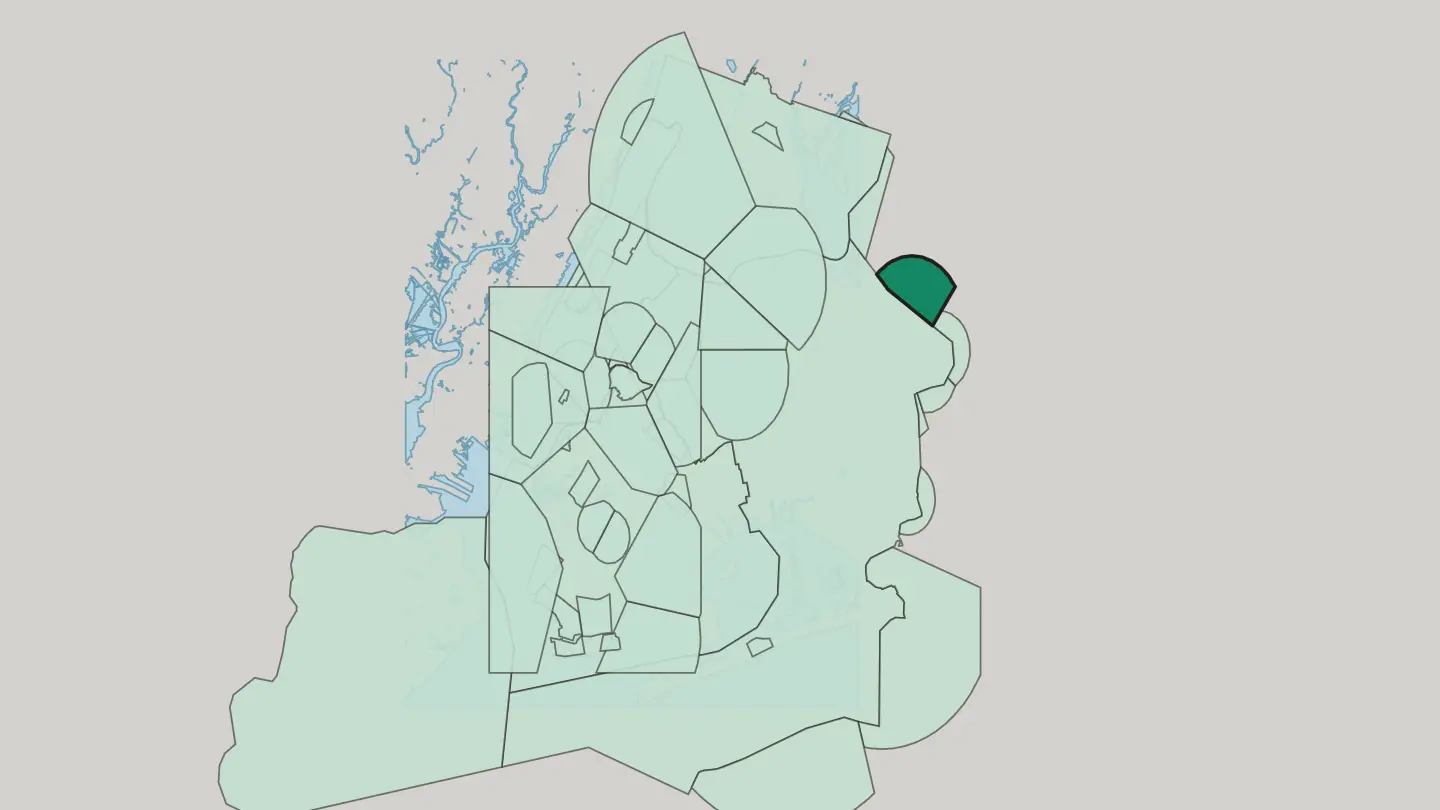 New York CityUnited States
Bellerose
Bellerose is a quiet residential district of New York City, edged by Belmont Park and the UBS Arena.Bellerose →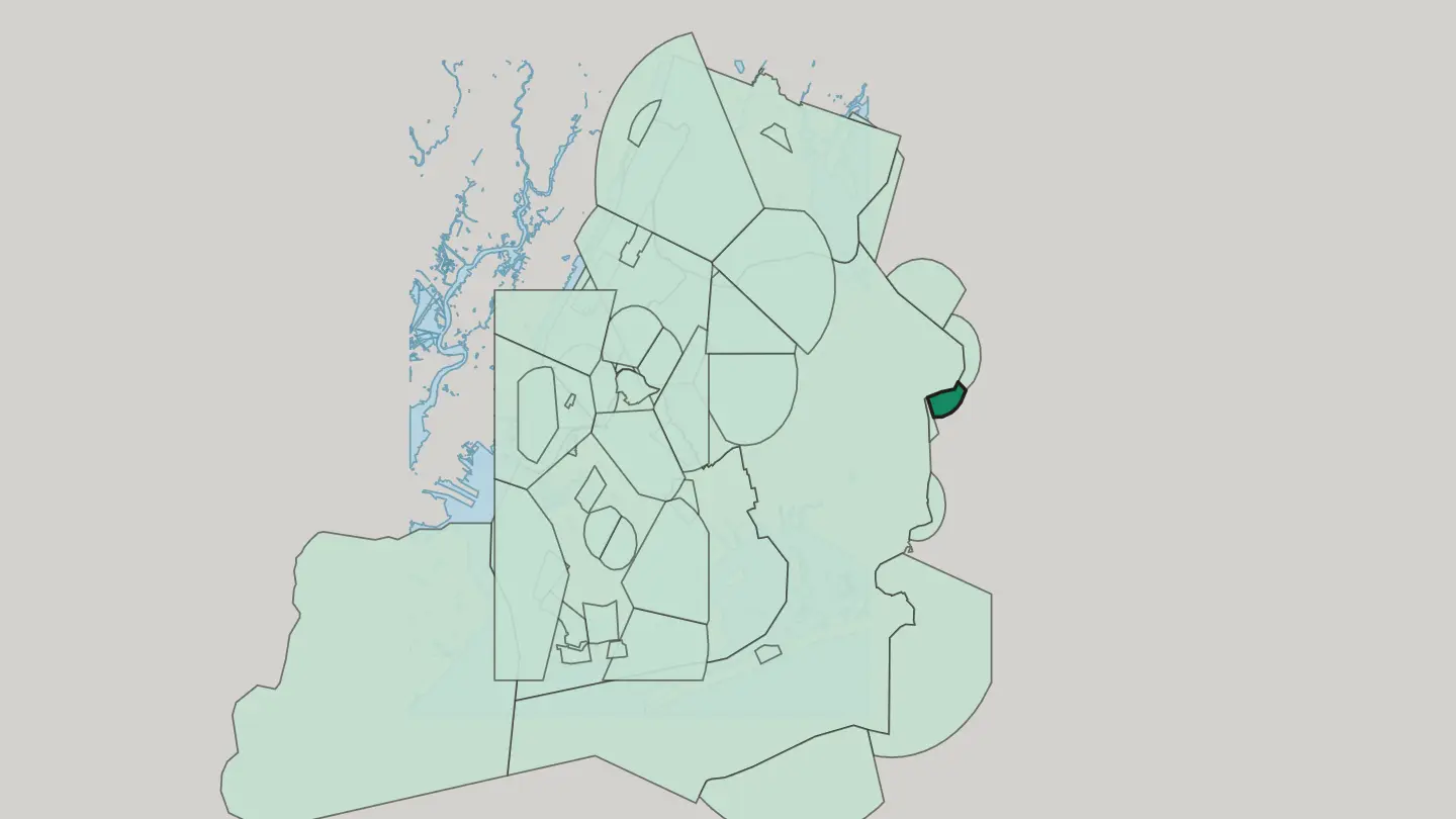
 New York CityUnited States
Far Rockaway
Far Rockaway is the easternmost section of the Rockaways, a Queens shore quarter running from Beach 32nd Street to the Nassau County line.Far Rockaway → New York CityUnited States
Glen Oaks
Glen Oaks sits at the eastern limit of Queens against the Nassau County line, with the Queens County Farm Museum inside its bounds.Glen Oaks →Hotel links are affiliate links: booking through them may earn us a commission, at no extra cost to you. It never affects how places are ranked. How this works
Things to do in New York City
Ranked by global recognition; descriptions from Wikidata (CC0).
Museums & Galleries
8- Solomon R. Guggenheim Museum Heritage
- The Cloisters Heritage
- Brooklyn Museum Heritage
- The Morgan Library & Museum Heritage
- Tenement Museum Heritage
Show 3 more →
- Hispanic Society of America Heritage
- The Met Fifth Avenue Heritage
- Old Stone House Heritage
Churches & Religious Sites
8- Trinity Church Heritage
- Riverside Church Heritage
- St. Patrick's Old Cathedral Heritage
- Saint Thomas Church Heritage
- St. Bartholomew's Episcopal Church Heritage
Show 3 more →
- St. Mark's Church in-the-Bowery Heritage
- Marble Collegiate Church Heritage
- Grace Church Heritage
Castles & Historic Sites
4- Castle Clinton Heritage
- Columbus Monument Heritage
- Soldiers' and Sailors' Monument Heritage
- Weeksville Heritage Center Heritage
Nature & Outdoors
2- Ellis Island Heritage
- Newtown Creek Nature Walk
Stadiums & Sports
3- UBS Arena
- Belmont Park
- Maimonides Park
Parks & Gardens
3- Luna Park
- Dreamland
- Steeplechase Park
Landmarks & Notable Places
8- Morris-Jumel Mansion Heritage
- Wyckoff House Heritage
- Theodore Roosevelt Birthplace National Historic Site Heritage
- Pepsi-Cola sign Heritage
- Blackwell House Heritage
Show 3 more →
- Voorlezer's House Heritage
- Hendrick I. Lott House Heritage
- Vander Ende-Onderdonk House Heritage
worth knowingacross 7 categories in New York City
About New York City
What is New York City known for?
New York City is known as the largest city in the United States, spread over five boroughs at the mouth of New York Harbor. Manhattan, Brooklyn, Queens, the Bronx, and Staten Island each stand as a county in their own right. Finance runs deep here.
The towers of the financial district rise near One World Trade Center, while the headquarters of the United Nations put world diplomacy on the water's edge. The Brooklyn Bridge ties the boroughs. Trade and immigration made the city.
What are the main landmarks in New York City?
New York City's landmarks crowd the southern tip of Manhattan and the harbour around it. One World Trade Center rises beside the National September 11 Memorial & Museum, a short walk from the old Trinity Church and the waterfront fort at Castle Clinton. Ferries leave from there.
South Street Seaport and the harbour piers send boats out to Ellis Island, while the Brooklyn Bridge arches across to Brooklyn. Museums range wider, from the Whitney Museum of American Art to the New Museum and the Museum of Jewish Heritage.
What is the history of New York City?
New York City traces its start to 1624, when a port took root at the southern tip of Manhattan on New York Harbor. The harbour did the rest. Counted among the largest natural harbors anywhere, it drew ships, cargo, and arrivals, and the port at the river mouth spread outward across the generations.
Trade built the city. Wave after wave of newcomers crowded the docks, and the streets pushed north up the island of Manhattan as the port thrived. From that single foothold it grew into the largest city in the United States.
The five boroughs came together as one city, each of them also a county: Manhattan, Brooklyn, Queens, the Bronx, and Staten Island. The Brooklyn Bridge stitched Manhattan to Brooklyn across the water. Bridges and tunnels followed.
New arrivals kept coming, filling out the boroughs beyond the old core. Finance and commerce settled downtown, and the towers climbed higher over the harbour until One World Trade Center topped them all. The United Nations chose the city for its headquarters, setting world diplomacy on the waterfront.
The port that began it never stopped shaping it.
Where is New York City?
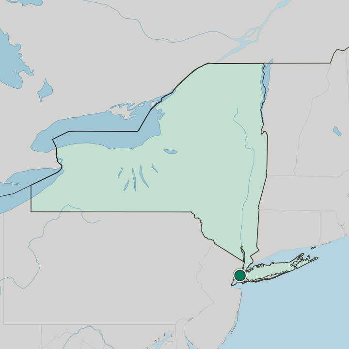
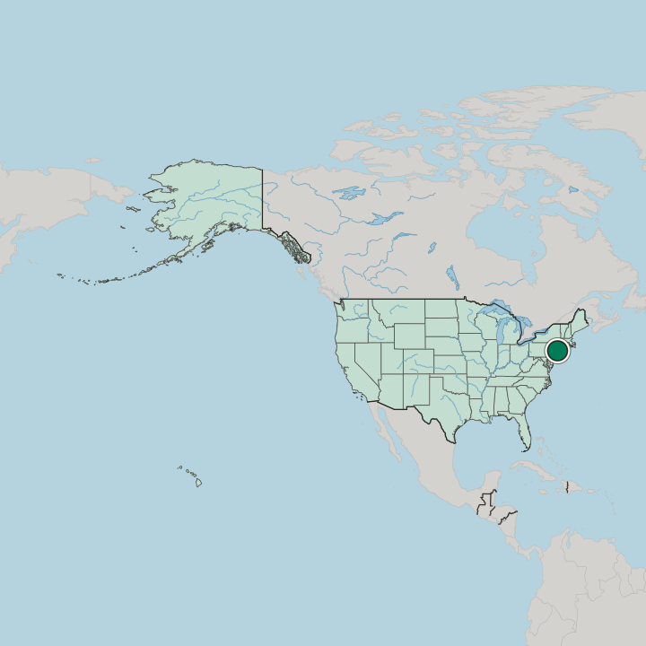
New York City sits at the southern tip of New York State, built around New York Harbor at the mouth of the river. The city splits across five boroughs, each also a county: Manhattan, Brooklyn, Queens, the Bronx, and Staten Island. Islands and waterways define it.
Manhattan and Staten Island sit on islands, Brooklyn and Queens share a larger one, and the Bronx alone joins the mainland. Bridges and ferries hold it together.
What is the climate of New York City?
New York City has a temperate climate, tempered by the sea at New York Harbor. Winters turn cold, with snow blowing between the towers and wind funnelling down the avenues of Manhattan off the water. Summers run hot and humid.
The harbour keeps the edges of each season a little milder than the inland cities, though the swings still cut sharp. The shoulder seasons pass quickly here.
How do you get to New York City?
New York City is one of the most connected places to reach in the country. Several major airports ring the metro, feeding flights from around the world into the boroughs. Trains pour in as well.
Rail lines run down the coast and inland to Manhattan, while bridges, tunnels, and harbour ferries link the five boroughs across the water. Most visitors arrive by air or rail.
Good for
More cities in New York
Updated October 2026