United States · Pennsylvania
Where to Stay in Penn Hills, Pennsylvania
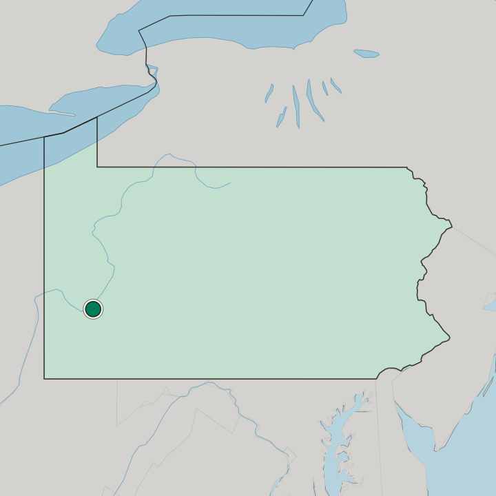
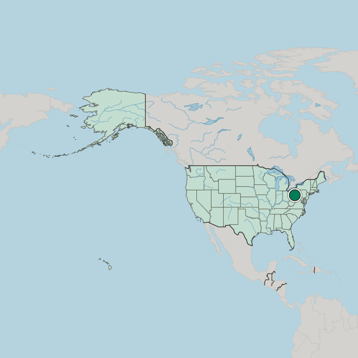
Penn Hills is a home rule township in Allegheny County, Pennsylvania, a suburb of Pittsburgh and the county's second-largest municipality.
Hotel links are affiliate links: booking through them may earn us a commission, at no extra cost to you. It never affects how places are ranked. How this works


Where to stay in Penn Hills
Where visitors usually base themselves, and why.
Rodi Road, Pennsylvania Route 791, is the practical stretch of this big township for an overnight stop: it runs from Frankstown Road to Interstate 376, and its hotels, restaurants, and gas stations serve travellers who leave the interstate at the Penn Hills exit. Interstate 376 crosses the southernmost part of the township on its way to downtown Pittsburgh. Port Authority buses run to Downtown Pittsburgh, for a day in the city without driving.
Lincoln Park sits right on the border. There, Shades Run forms the line with Pittsburgh.
Find hotels in Penn Hills
Direct booking searches for these neighbourhoods.
Rodi Road
Rodi Road links Frankstown Road with Interstate 376 and holds the hotels and restaurants that serve the Penn Hills exit.Find hotels in Rodi Roadthe Pittsburgh border at Shades RunLincoln Park
Shades Run, in the Lincoln Park neighbourhood, forms the line between Penn Hills and the City of Pittsburgh.Find hotels in Lincoln ParkHotel links are affiliate links: booking through them may earn us a commission, at no extra cost to you. It never affects how places are ranked. How this works
About Penn Hills
Penn Hills is a township of neighbourhoods.
What is Penn Hills known for?
They include Blackridge, Churchill Valley, Crescent Hills, Point Breeze, Universal, and Verona Hilltop. The Allegheny River bounds Penn Hills on the north, and Plum Creek and Thompson Run mark its borders with Plum Borough and Monroeville.
What are the main landmarks in Penn Hills?
The Longue Vue Club and Golf Course in Penn Hills, a country club founded in 1923, has been on the National Register of Historic Places since 2005. Two older buildings carry Pittsburgh History & Landmarks Foundation listings. They are the Wyckoff-Mason House, a log house from 1775, and the Morrow Barn, from 1834.
Both stand in Penn Hills. Plum Creek passes North Bessemer Field, Milltown Community Park, and Penn Hills Community Park on its way to the Allegheny River.
What is the history of Penn Hills?
In 1788, when Allegheny County was formed, the area now known as Penn Hills was part of Pitt Township. A new township was carved from the northern part of Wilkins in 1850, first named Adams and then, within months, McNair Township, and in February 1851 an act of assembly renamed it Penn Township. Its numbers nearly doubled between 1860 and 1880.
In 1958 Penn Township became Penn Hills Township. Home rule came in 1976.
Where is Penn Hills?
Penn Hills lies in Allegheny County, Pennsylvania, on the Allegheny River, which bounds it on the north and northwest. Penn Hills has ten land borders. Verona and Oakmont lie to the north, Plum Borough to the east and northeast, Monroeville to the southeast, Wilkins Township, Churchill, and Wilkinsburg to the south, and the Pittsburgh neighbourhoods of East Hills, Homewood North, and Lincoln-Lemington-Belmar to the south, southwest, and west.
The township covers about 50 square kilometres.
How do you get to Penn Hills?
Interstate 376, the Penn Lincoln Parkway, runs through the southernmost part of Penn Hills to downtown Pittsburgh, and the township has its own exit. Rodi Road links it with Frankstown Road. By bus, the Port Authority of Allegheny County runs lines and flyers to Downtown Pittsburgh.
Pittsburgh International Airport, in the western part of the county, is the airport most travellers use.
Common questions
What is the best area to stay in Penn Hills?
Rodi Road: an overnight stop off Interstate 376 on Rodi Road. Lincoln Park: the Pittsburgh border at Shades Run.
More cities in Pennsylvania
Updated October 2026