Australia
Australian Capital Territory, Australia — Towns & Travel Guide


The Australian Capital Territory is Australia's federal enclave, a planned capital and its bushland carved from New South Wales.
About Australian Capital Territory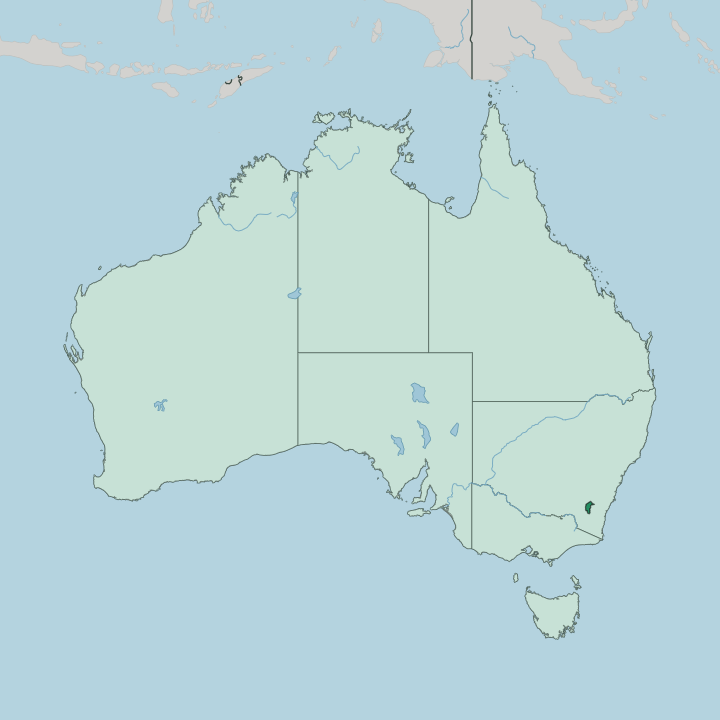
Towns & cities in Australian Capital Territory
Pick a town or city — each links to where to stay.
 Australia
Canberra
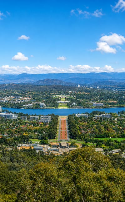
Canberra stands on the inland plain below the Brindabellas, the capital of Australia in the Australian Capital Territory, known for Parliament House.Where to stay →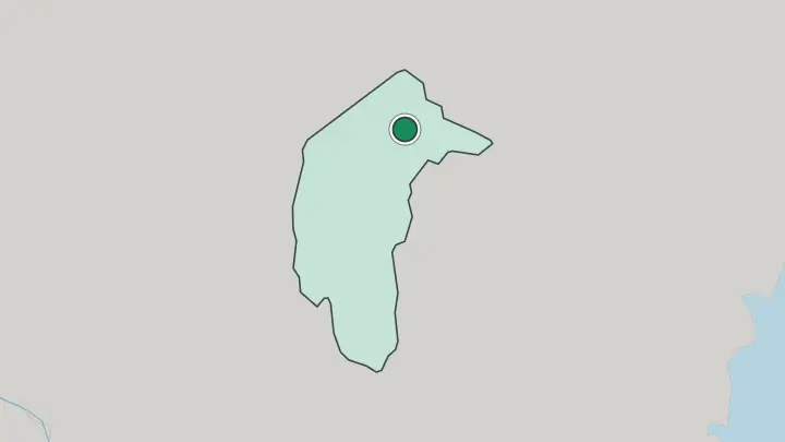
About Australian Capital Territory
This is where Australia governs itself.
What is Australian Capital Territory known for?
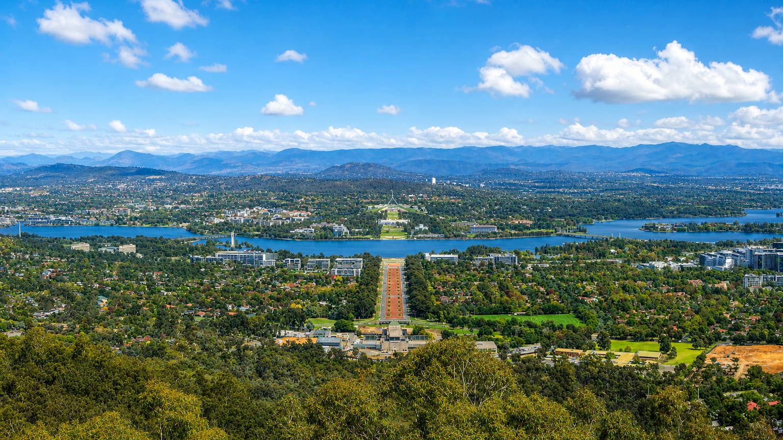
The territory exists to hold Canberra, the planned capital laid out by the American architect Walter Burley Griffin around the man-made Lake Burley Griffin. Parliament House, the High Court and the national museums and galleries all cluster here, drawing visitors to institutions rather than beaches. Beyond the city, the bush takes over.
Namadgi National Park fills the mountainous south-west, so nature reserves and forested ranges press right up against the suburbs.
Where is Australian Capital Territory?
The Australian Capital Territory sits inland in south-eastern Australia, entirely enclosed by the state of New South Wales. It is an enclave. No coast touches it, and no border reaches the sea, because every edge of the territory is drawn against a single surrounding state.
Canberra fills the north-east, spreading across a valley between the Brindabella Range to the west and lower hills to the east. The Molonglo River runs through that valley, and in the middle of the city it was dammed in 1963 to form Lake Burley Griffin, the ornamental water at the heart of Griffin's plan. South and west of the built-up area the land rises sharply.
Namadgi National Park covers the mountainous south-west and takes up close to half of the whole territory, its ridges climbing toward Mount Bimberi on the boundary with New South Wales. The park runs straight up against Kosciuszko National Park across that border. Higher peaks to the west carry snow through much of winter.
So the territory is really two places at once: a compact planned city in one corner, and a wide sweep of protected bush filling most of the rest. Sydney lies well to the north-east, Melbourne far to the south-west, and the nearest ocean is a drive away over the coastal ranges.
What is Australian Capital Territory like?
Canberra was built to be a capital, and that origin runs through everything. The territory holds the institutions of a nation rather than the accidents of an old town, so its culture is national culture, gathered on purpose in one place. Parliament House sits on Capital Hill at the apex of Griffin's Parliamentary Triangle.
Along Anzac Parade, the Australian War Memorial faces the hill directly, a museum and archive of the country's wars aligned deliberately with the seat of government. The National Gallery of Australia holds the national art collection, including the largest gathering of Aboriginal and Torres Strait Islander art anywhere. Museums do a lot of the work here.
The National Museum of Australia and the other collections trace the country's story for visitors who come specifically to see it told. English is the common language, as across the rest of the country. But Canberra is not only its monuments.
Locals call it the bush capital, and the label fits. Gardens, cycle paths, parks and nature reserves thread between the suburbs, and forested ranges stand within sight of the parliamentary lawns. The city and the bush share the same address.
What is the history of Australian Capital Territory?
The territory was excised from New South Wales in 1911 to give the new Commonwealth a capital of its own, as Section 125 of the Constitution required and as a compromise between rival Sydney and Melbourne demanded. An international design competition followed. Walter Burley Griffin and Marion Mahony Griffin won it, and Canberra was formally named in 1913 and built from open sheep country to their geometric plan.
Known as the Federal Capital Territory until 1938, it took its present name that year.
What is the climate of Australian Capital Territory?
The territory's height and its landlocked position make it cool. Sitting high in a valley in the leeward shadow of the Brindabella Range, Canberra runs colder and drier than the coast, with warm dry summers, sharp cold winters, and no moderating sea anywhere near. Heavy frosts and radiation fog are ordinary on winter mornings, and the higher mountains to the west stay under snow for much of the season.
Rain is modest, falling mostly through spring and summer. Nights turn cold fast.
How do you get to Australian Capital Territory?
Most visitors reach the territory by road. Canberra Airport handles domestic flights and a thin band of international ones, but many travellers reach the territory by road, since Sydney lies about three hours to the north-east and Melbourne a longer haul to the south-west. The Federal Highway drops down from the Sydney direction, and coach and rail services follow the same corridors through New South Wales.
Once inside, the compact city puts the lake, Parliament and the museums within easy reach.
Good for
Updated July 2026