Canada · British Columbia · Vancouver
Marpole, Vancouver — Area Guide & Where to Stay


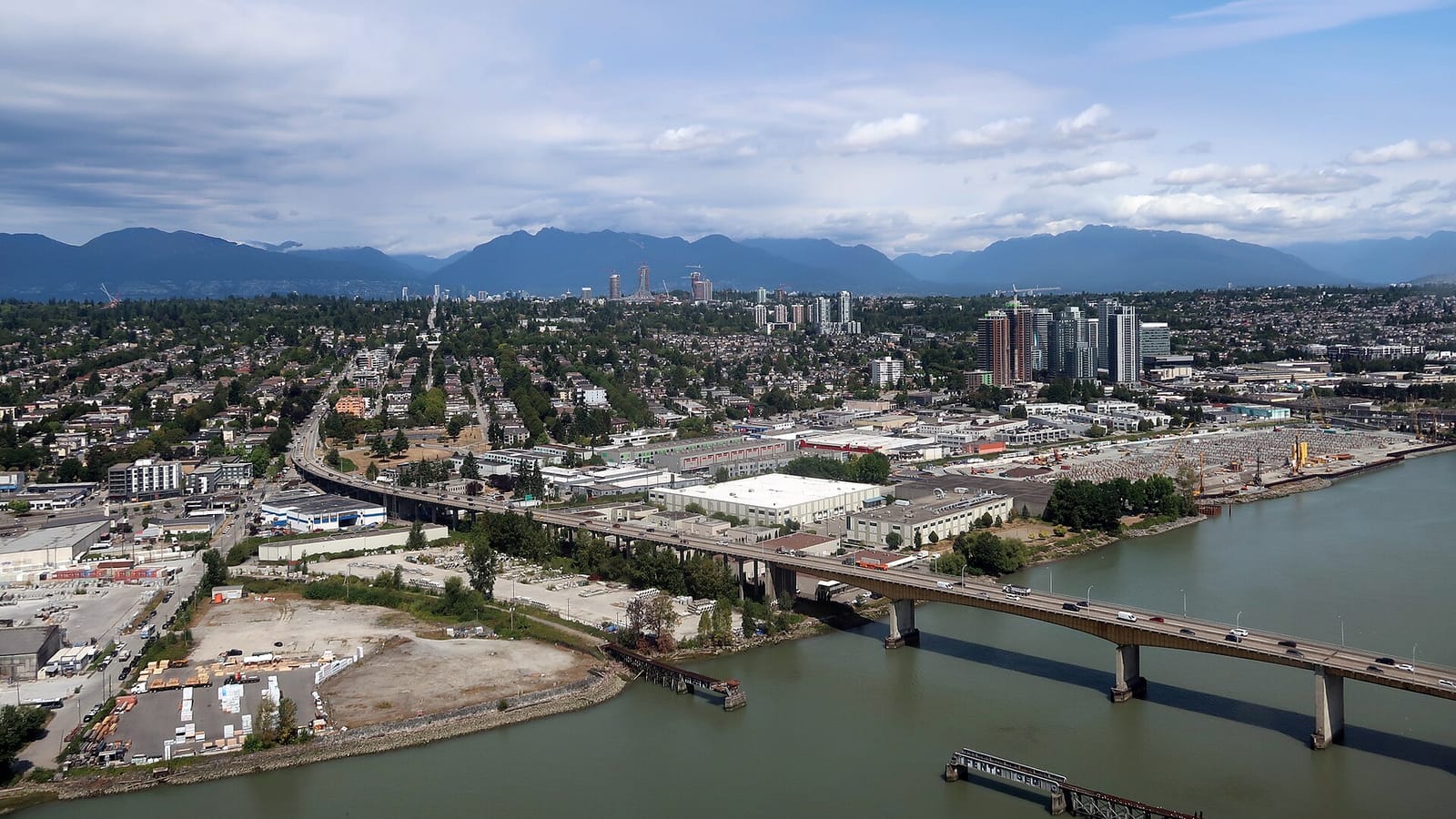
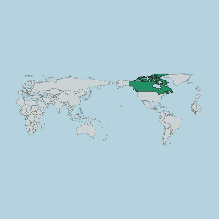
Marpole is a residential neighbourhood at the southern edge of Vancouver, where the city meets the North Arm of the Fraser River. Granville Street runs through its centre as the main commercial spine, linking it north toward the rest of the city and south across the river. The area is best known for the Great Marpole Midden, an ancient Musqueam settlement site beside the Fraser. Kerrisdale sits to the west.
About Marpole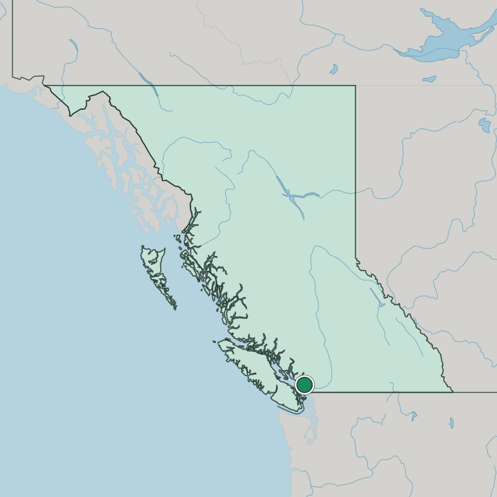
Where to stay in Marpole
Where you base yourself shapes the visit — here's the character of each area.
Marpole reads as a quiet residential district rather than a hotel quarter, so most beds cluster along Granville Street and the Southwest Marine Drive corridor. Rooms are few. Its main draw is proximity to the airport, with the crossings to Sea Island sitting at the neighbourhood's southern doorstep.
The setting suits a calm base near the Fraser River, well back from the busier core to the north. Garden visitors do well here, with Bloedel Conservatory and the Van Dusen Botanical Garden Visitor Centre a short way north, while central Vancouver and neighbouring Kerrisdale hold far more choice.
About Marpole
What are the main landmarks in Marpole?
The neighbourhood's defining site is the Great Marpole Midden, an ancient Musqueam village and burial ground at the foot of Granville Street beside the Fraser River. It ranks among the largest shell middens on the Northwest Coast. Two garden attractions sit just to the north: Bloedel Conservatory, a domed tropical garden, and the Van Dusen Botanical Garden Visitor Centre.
St John's Vancouver, an Anglican church, serves the local parish. Heritage and greenery outweigh any skyline here.
What is the history of Marpole?
Human settlement at Marpole reaches back thousands of years, centred on the Great Marpole Midden beside the North Arm of the Fraser River. The site was an ancient Musqueam village and cemetery, one of the largest shell middens on the Northwest Coast, and it was designated a National Historic Site in 1933. Long before Vancouver spread south, this riverbank supported Coast Salish life.
The modern neighbourhood grew up around the Fraser crossings at the city's southern edge, where Granville Street reaches the water. Its grid still bends toward the river.
Where is Marpole?
The neighbourhood occupies the southwest corner of Vancouver, bounded by the North Arm of the Fraser River to the south. Granville Street cuts through it from north to south, while Kerrisdale lies along its western side. Two river crossings anchor the southern edge: the Arthur Laing Bridge carries traffic toward Sea Island, and the Oak Street Bridge links Marpole to Richmond.
Beyond the water lies the airport.
Good for
More areas in Vancouver
Updated July 2026