Where to stay in Kristinestad
The right area depends on your trip. Here's who each one suits — pick the place, then the hotel.
Kristinestad keeps a modest stock of beds for an old wooden seaport of the Ostrobothnian coast, the kind of place where a small hotel in the old town or a guesthouse near the water is the usual room. The grid of the Kristiinankaupungin ruutukaava-alue suits visitors who want the wooden streets, the harbour and the Ulrika Eleonoran kirkko within an easy walk. It is the obvious base.
The old Kaupunginhotelli and the villa-museum at Carlsro stand in or near the centre, so travellers drawn to the heritage of this corner of western Finland often choose a room there. Out along the coast and the villages of the wide municipality, rooms turn up near the Lapväärtin kirkko and the fishing harbour at Siipyyn kylä ja Kiilin kalasatama, a quiet base for touring the cape and the Susiluola cave by car. Stock is thin outside the town.
Many travellers instead sleep in the larger towns of Ostrobothnia and drive in for the day, walking the wooden grid before they go. Book ahead in summer, when the few rooms around Kristinestad go early.
Things to do in Kristinestad
Ranked by global recognition; descriptions from Wikidata (CC0).
Museums & Galleries
1- Carlsro Heritage
Churches & Religious Sites
4- Ulrika Eleonoran kirkko Heritage
- Lapväärtin kirkko Heritage
- Kristiinankaupungin kirkko Heritage
- Siipyyn kirkko
Castles & Historic Sites
1- Susiluola Heritage prehistoric site
Landmarks & Notable Places
4- Jäätelöbaarintalo Heritage house
- Susivuoren kota
- Susivuoren näkötorni
- Susivuori
worth knowingacross 4 categories in Kristinestad
About Kristinestad
What is Kristinestad known for?
Kristinestad is known as one of the best-kept wooden towns of the Ostrobothnian coast, its old grid of streets, the Kristiinankaupungin ruutukaava-alue, laid out for a Baltic trading port of western Finland. The wooden Ulrika Eleonoran kirkko rises over the old town. Wood and the sea made it.
Out on the cape, the prehistoric Susiluola cave records far older life on this coast, the Yttergrundin majakka- ja luotsiyhdyskunta marks the old pilot world offshore, and the fishing harbour at Siipyyn kylä ja Kiilin kalasatama keeps the working sea of this corner of western Finland.
What are the main landmarks in Kristinestad?
The wooden old town is the great landmark of Kristinestad, its grid of streets preserved as the Kristiinankaupungin ruutukaava-alue from the trading days of the Ostrobothnian coast. The Ulrika Eleonoran kirkko rises over it. Deep time and the sea fill the rest.
The Susiluola cave on the cape records prehistoric life far older than the port, the Yttergrundin majakka- ja luotsiyhdyskunta marks the old offshore pilot world, and the village churches of Lapväärtin kirkko and Siipyyn kirkko keep the old parishes of this corner of western Finland.
What is the history of Kristinestad?
Kristinestad's history runs from a prehistoric cave to a Baltic trading port. People may have sheltered in the Susiluola cave on the cape in the deep past, long before any town, and farming villages later gathered around their churches along this stretch of the Ostrobothnian coast. The sea drew the trade.
The port was chartered in 1649 and named for a queen, its merchants laying out the wooden grid now preserved as the Kristiinankaupungin ruutukaava-alue in this corner of western Finland. Wood, sail and the church carried the settled centuries. The wooden Ulrika Eleonoran kirkko rose over the new town, while the older village parishes kept their own churches at the Lapväärtin kirkko and the Siipyyn kirkko along the coast.
Shipping built the merchant houses of the grid, the old Kaupunginhotelli among them, and pilots worked the offshore waters from the Yttergrundin majakka- ja luotsiyhdyskunta. Trade slowed as the sailing age passed, but the wooden town survived, and Kristinestad kept its grid and its harbour as one of the best-preserved seaports of western Finland.
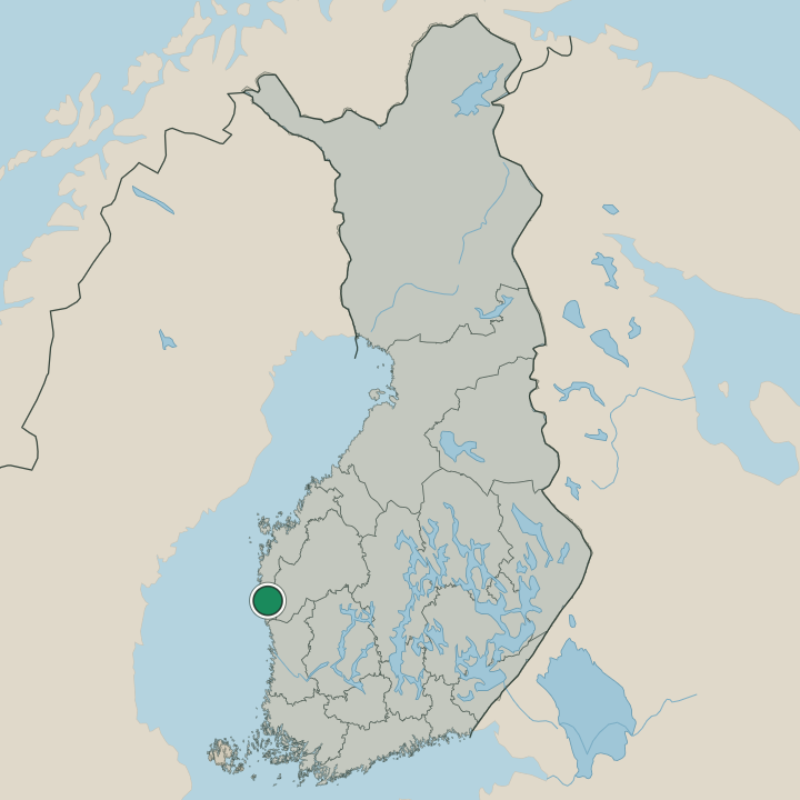
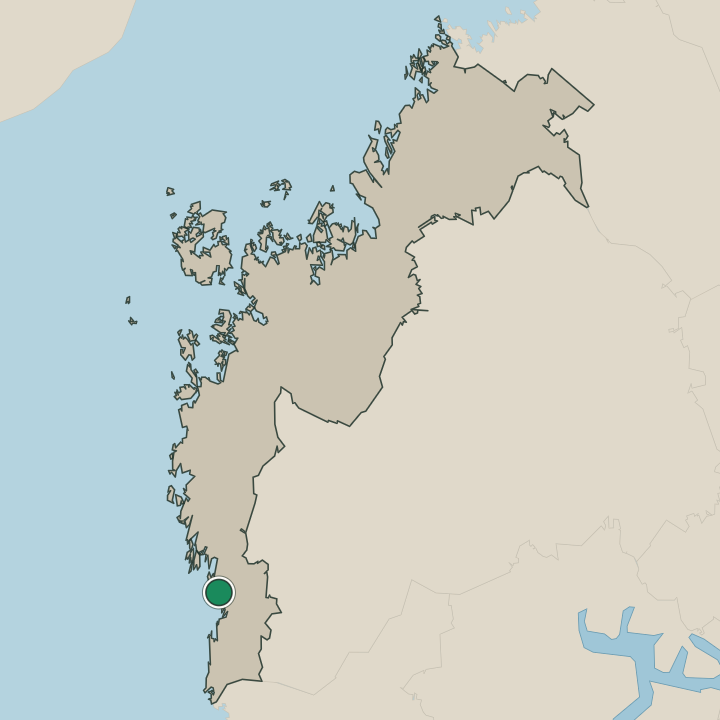
Where is Kristinestad?
Kristinestad lies on the low coast of southern Ostrobothnia, in western Finland. Flat farmland, pine ridges and a fretted shoreline of capes and skerries fill the municipality, the wooden town set on a narrow sound where the old grid of the Kristiinankaupungin ruutukaava-alue meets the water. The sea shapes the edge.
The cape with its Susiluola cave runs out to the south, the fishing harbour at Siipyyn kylä ja Kiilin kalasatama sits among the skerries, and the lighthouse island of the Yttergrundin majakka- ja luotsiyhdyskunta stands offshore from this corner of western Finland.
What is the climate of Kristinestad?
Kristinestad carries a cool coastal climate, its seasons softened a little by the open Baltic off the Ostrobothnian shore. Winters are long and snowy, sea ice and hard frost settling over the wooden town and the flat farmland of the cape from early in the season until the late spring thaw. Summers are mild and bright.
The long northern daylight warms the grid streets, the skerries and the pinewoods through the short growing season around Kristinestad, the season when the harbours of this corner of western Finland come briefly alive.
How do you get to Kristinestad?
Kristinestad sits on the southern Ostrobothnian coast, and road is the way in. Buses and cars reach the wooden old town and the grid of the Kristiinankaupungin ruutukaava-alue, running the coast roads that link Kristinestad to the larger towns of Ostrobothnia. The drive follows the shore.
Visitors from farther off come through those coastal towns before the last stretch into this corner of western Finland, where the wooden streets and the cape of the Susiluola cave wait at the end of the road.
Where Kristinestad sits
Boundaries © geoBoundaries (CC BY) & Wikidata (CC0); water & neighbours: Natural Earth.