Iran · Tehran Province · Tehran
Narmak, Tehran — Area Guide & Where to Stay


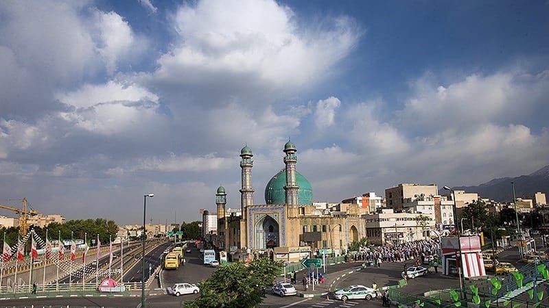
Narmak is a planned grid neighbourhood of numbered squares in north-east Tehran, Iran.
About Narmak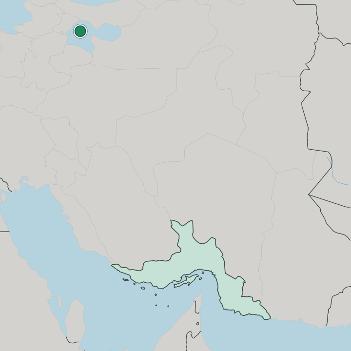
Where to stay in Narmak
Not every neighbourhood fits every trip — here's what each one is good for.
Narmak keeps few hotel beds of its own. As a residential grid in north-east Tehran, it sends most visitors toward the central districts of Tehran, where the rooms cluster, while the neighbourhood itself is reached out along the Resalat corridor and by the Golbarg and Fadak metro stops. Look to central Tehran for a room instead.
The grid is for living, not lodging.
About Narmak
What are the main landmarks in Narmak?
Haft Hoz anchors Narmak. The square sits at the middle of the numbered grid, while the Iranian Museum of Graphic Design draws visitors of a different sort and the campus of Iran University of Science and Technology marks the eastern reach of the neighbourhood toward Tehran's outer edge. The squares number in the dozens.
Each one carries a plain number.
What is the history of Narmak?
Narmak was laid out as a planned quarter of Tehran. Engineers set the neighbourhood on a strict grid of numbered squares that fed traffic outward from Haft Hoz, and later decades filled the blocks with housing as the capital of Iran pushed north-east and the campus of Iran University of Science and Technology rose at the edge. The drawing board shaped Narmak before anything else.
Streets followed the drawing.
Where is Narmak?
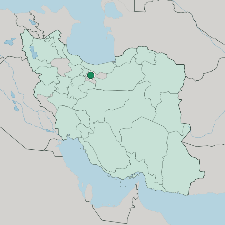
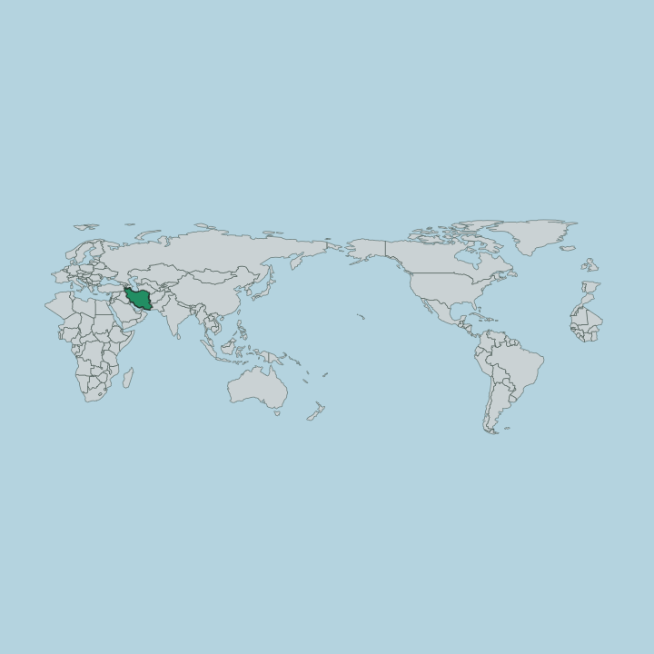
Narmak occupies a grid in north-east Tehran. The neighbourhood spreads its numbered squares across a gently sloping tract, with the Resalat corridor cutting the south and the Hengam axis threading through the blocks toward the outer reaches of Tehran. Golbarg lies along its spine.
The ground tilts north.
More areas in Tehran
Updated July 2026