Iran
Tehran Province, Iran — Towns & Travel Guide


Tehran Province is a province of Iran, set above the central plateau of the country and built around Tehran, its national capital.
Find your area →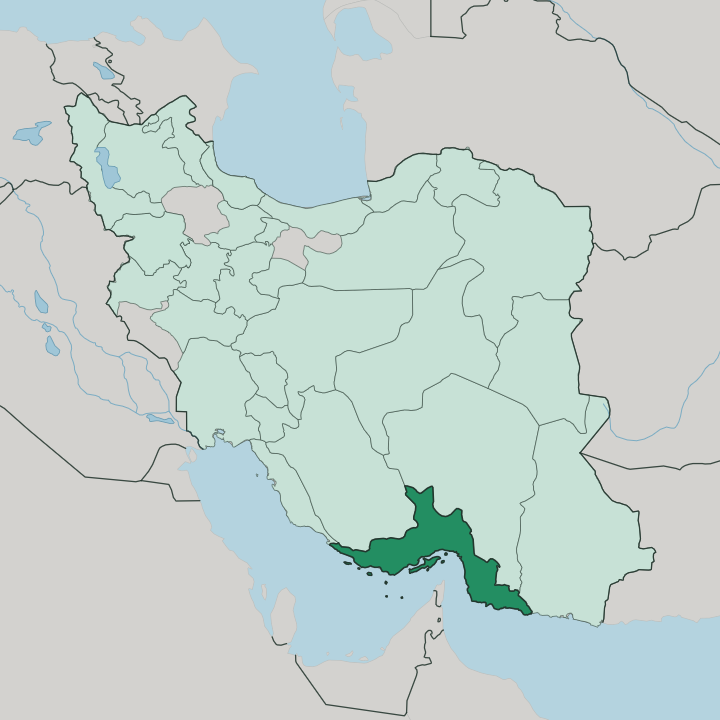
Towns & cities in Tehran Province
Pick a town or city — each links to where to stay.
 Iran
Iran
Tehran
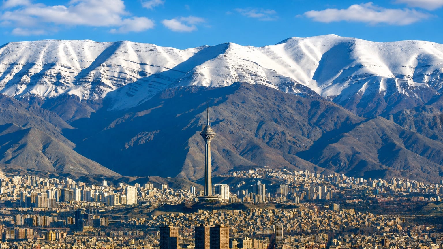
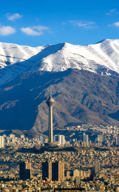
The Alborz mountains rise above Tehran, the capital and largest city of Iran, known for its National Museum of Iran and its many galleries.Where to stay →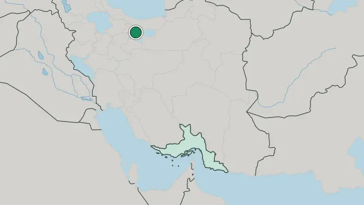
About Tehran Province
What is Tehran Province known for?
Tehran Province is known as the province that holds Tehran, the national capital of Iran, above the central plateau of the country. It is small but central. Among the 31 provinces of Iran, this one carries the seat of government, and its life turns on the capital city that fills its heart.
Where is Tehran Province?
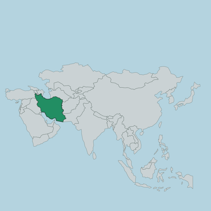
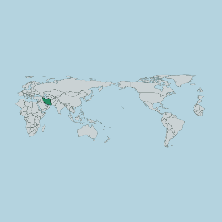
Tehran Province sits above the central plateau of Iran, one of the 31 provinces into which the country is divided. Four provinces frame it. Mazandaran lies to the north, Qom to the south, Semnan to the east, and Qazvin to the west, so the province is landlocked among its neighbours in the interior of Iran.
Tehran Province meets no shoreline. Its ground rises from the edge of the central plateau, the setting on which Tehran and the wider province are built. Within Iran, the province is defined by the capital at its centre.
It is one of the 31 provinces, yet its weight comes from Tehran, the national capital, and the belt of country around it. The capital anchors the whole. From Tehran the province reaches out to the borders it shares with Mazandaran, Qom, Semnan, and Qazvin, a ring of provinces around the seat of the nation above the central plateau.
What is Tehran Province like?
Tehran Province takes its cultural life from Tehran, the national capital at its centre. Persian is the language of the province, spoken across the towns that ring the capital above the central plateau of Iran. Tehran gives the province its character.
As the seat of the nation, Tehran draws the cultural and civic life of Iran into the province, and the character of the whole turns on the city rather than on any separate rural tradition. This is a province read through its capital. Other provinces of Iran carry the stamp of a distinct landscape.
Tehran Province carries the stamp of the national capital and the affairs gathered there. Its life is urban and central. From the capital the province reaches outward to Mazandaran, Qom, Semnan, and Qazvin, but its identity stays fixed on Tehran, the Persian-speaking heart of the country above the central plateau.
What is the history of Tehran Province?
Tehran Province took shape as the administrative province built around Tehran, the national capital of Iran. Its story follows the capital. As Iran was organised into its 31 provinces, the ground around the national seat above the central plateau was set apart as the province, drawing its purpose from the city at its centre.
The province and its capital have risen together, the one framing the other across the plateau's edge.
What is the climate of Tehran Province?
Tehran Province lies in a temperate band north of the equator, its weather shaped by the height of the ground above the central plateau of Iran. Seasons are marked here. Summers run warm and dry across the province, while winters turn cold on the high ground around Tehran, giving the region four distinct seasons rather than the even warmth of the lowlands.
How do you get to Tehran Province?
Tehran Province is reached, in effect, by reaching Tehran, the national capital of Iran at its centre. Routes converge on the capital. Travellers arrive into the city by air or overland from the neighbouring provinces of Mazandaran, Qom, Semnan, and Qazvin, since no coast touches this inland province above the central plateau.
Updated July 2026