Iran · Tehran Province
Where to Stay in Tehran, Tehran Province


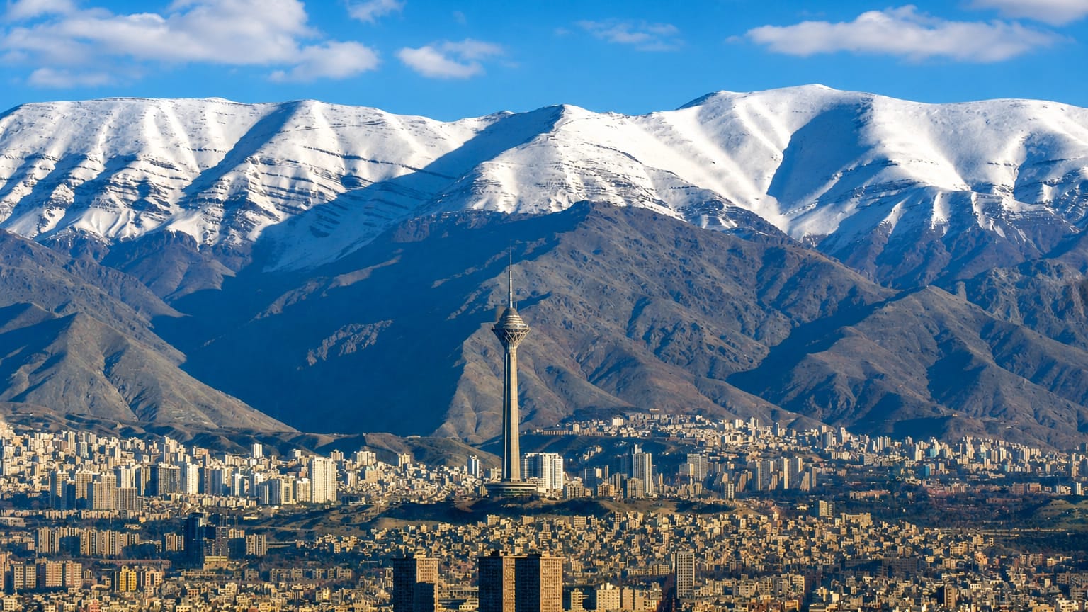
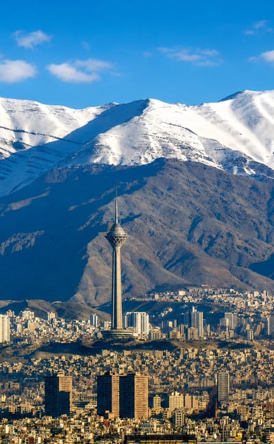
The Alborz mountains rise above Tehran, the capital and largest city of Iran, known for its National Museum of Iran and its many galleries.
Find your area →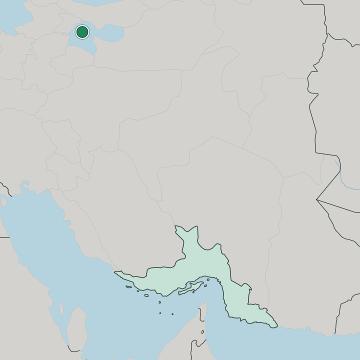
Where to stay in Tehran
Not every neighbourhood fits every trip — here's what each one is good for.
 TehranIran
Shahrak-e Qods
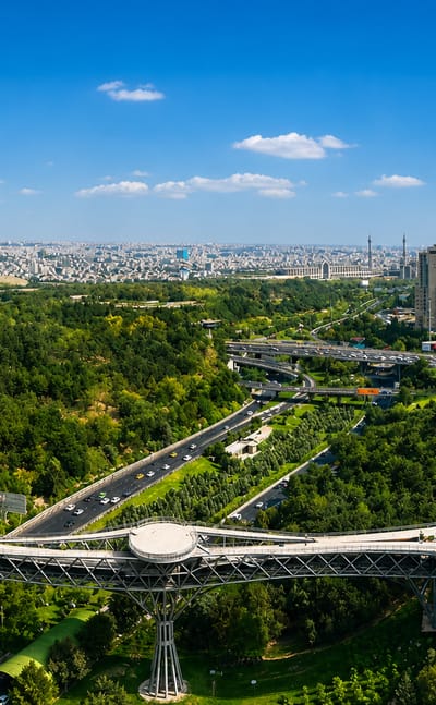
Shahrak-e Qods, also known as Shahrak-e Gharb, is a district of Tehran in Tehran Province, one of the neighbourhoods of the Iranian capital.Shahrak-e Qods →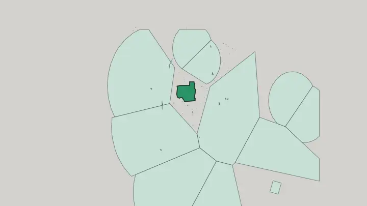
 TehranIran
Abbas Abad
Abbas Abad is a museum quarter of Tehran, holding the Reza Abbasi Museum and the Armenian Saint Emmanuel Church.Abbas Abad →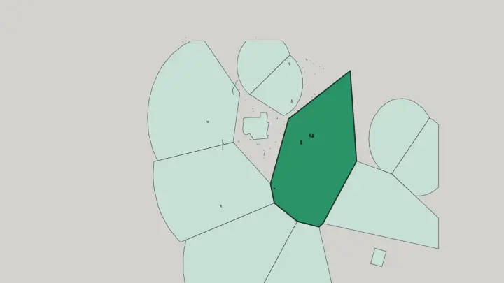
 TehranIran
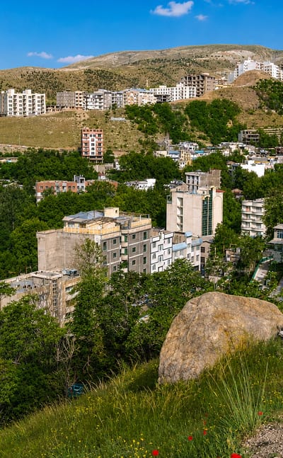
Darakeh
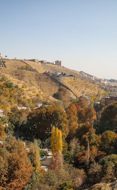
Darakeh is a mountain-foot neighbourhood of northern Tehran, where the Alborz trail into Tochal begins.Darakeh →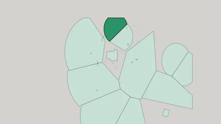
 TehranIran
Evin
Evin is a district of northern Tehran, ringed by the Iranian Art Museum Garden and Mellat Park Zoo.Evin →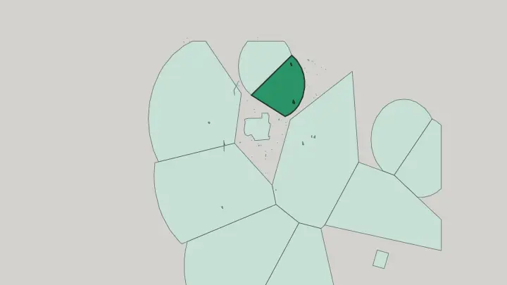
 TehranIran
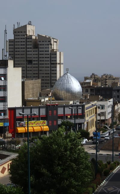
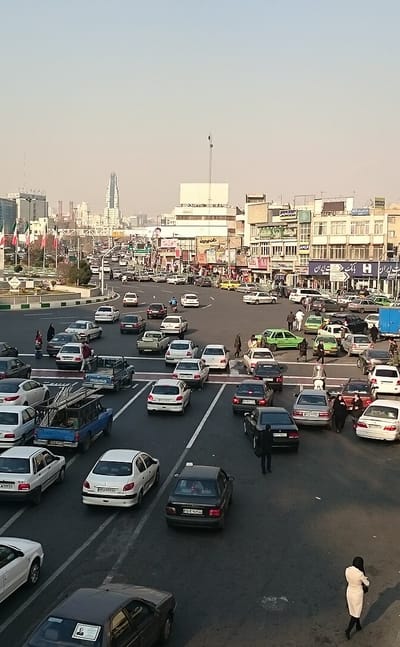
Punak
Punak is a planned residential quarter on the north-west edge of Tehran, Iran, along the Ashrafi Esfahani Expressway.Punak →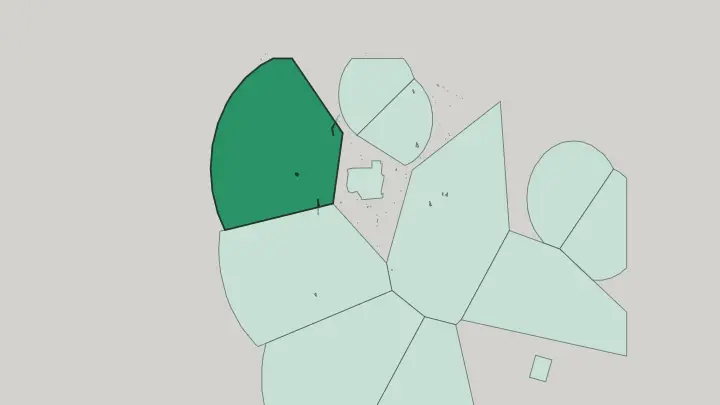
 TehranIran
Sadeghiyeh
Sadeghiyeh is a district of western Tehran in Iran, built around the Azadi Tower and a major metro interchange.Sadeghiyeh →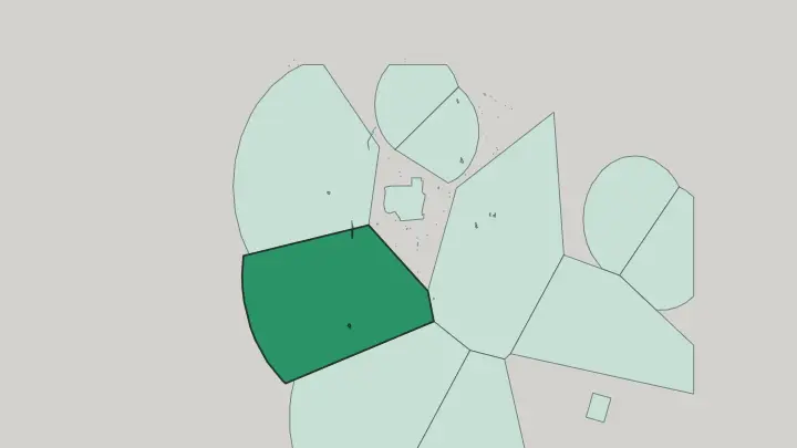
All neighbourhoods (14)
TehranIranNasīm Shahr
Nasīm Shahr is a dense residential district on the south-western edge of Greater Tehran, in Tehran Province, Iran.Nasīm Shahr →TehranIranAndīsheh
Andīsheh is a planned town in the Central District of Shahriar County, within Tehran province, Iran, near Tehran.Andīsheh →TehranIranAfsariyeh
Afsariyeh is a residential neighbourhood in south-east Tehran, Iran, holding the Azadegan Water Park along the Khavaran corridor.Afsariyeh →TehranIranDoshan Tappeh
Doshan Tappeh is an eastern district of Tehran, keeper of the Air Force Museum of Iran and the Holy Translators Church.Doshan Tappeh →TehranIranNarmak
Narmak is a planned grid neighbourhood of numbered squares in north-east Tehran, Iran.Narmak →TehranIran
Qaleh Morghi
Qaleh Morghi is a low-lying district in the south of Tehran, Iran, on the flat ground well below the city's northern heights.Qaleh Morghi →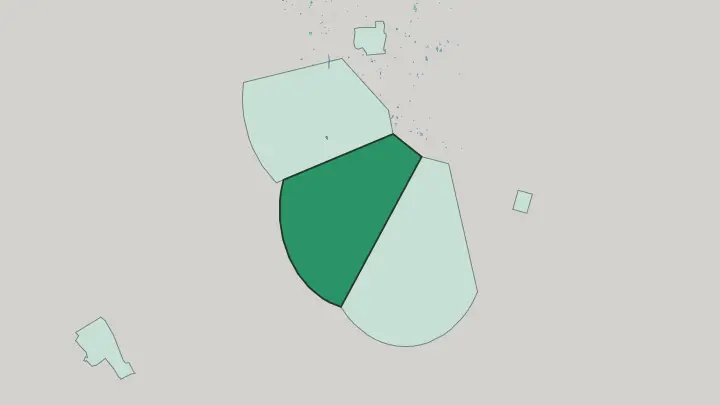
 TehranIran
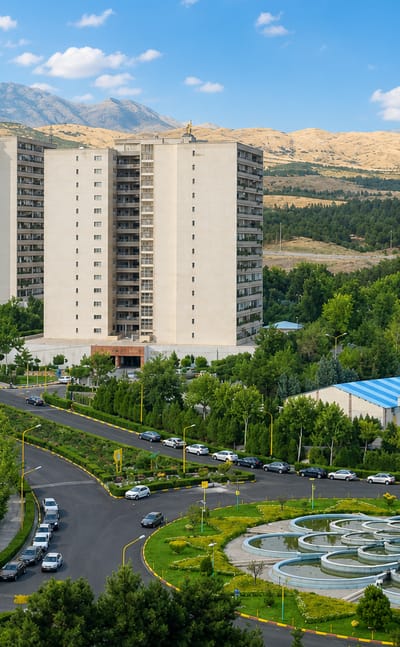
Tehranpars
Tehranpars is a planned grid quarter on Tehran's eastern flank, built around four falakeh squares.Tehranpars →TehranIran
Yakhchi Abad
Yakhchi Abad is a residential quarter of southern Tehran, in District 16 just south of Nazi Abad.Yakhchi Abad →
About Tehran
What is Tehran known for?
Tehran is known as the capital and largest city of Iran, spread at the foot of the Alborz mountains. Its museums are its pride. The National Museum of Iran, the Museum of Ancient Iran, and the Carpet Museum of Iran gather the country's collections, in a city that stands as the political and cultural centre of Iran across West Asia.
What are the main landmarks in Tehran?
Tehran keeps its landmarks across the centre and up toward the Alborz mountains. Tehran's museums take the lead. The National Museum of Iran, the Museum of Ancient Iran, the Carpet Museum of Iran, and the Treasury of National Jewels hold the city's collections, while the Tehran Museum of Contemporary Art and the Abgineh Museum of Tehran show its art.
Older halls and churches stand among them too, from the palace of Shams-ol-Emareh to Saint Sarkis Cathedral and the greenery of Negarestan Garden.
What is the history of Tehran?
Tehran was founded in 1794 and grew into the capital and largest city of Iran. From a town at the foot of the Alborz mountains it rose into the national seat, drawing the government and the court onto the plain below the range. Its rise was steady.
Over the years the city gathered the institutions, museums, and libraries of the country beneath the Alborz, becoming the political and cultural centre of Iran. That role still defines the city. Tehran carries the weight of the national capital, its streets holding the National Museum of Iran, the Treasury of National Jewels, and the older palace hall of Shams-ol-Emareh among the marks of its past.
The mountains watched it grow. From its founding in 1794 the capital spread across the ground below the Alborz mountains, and the halls, churches, and gardens of old Tehran still trace the history of the largest city of Iran.
Where is Tehran?
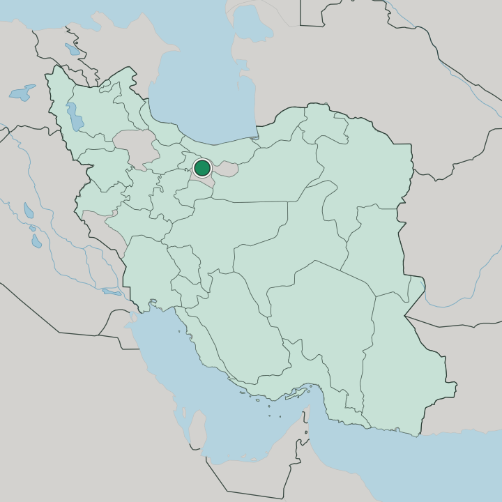
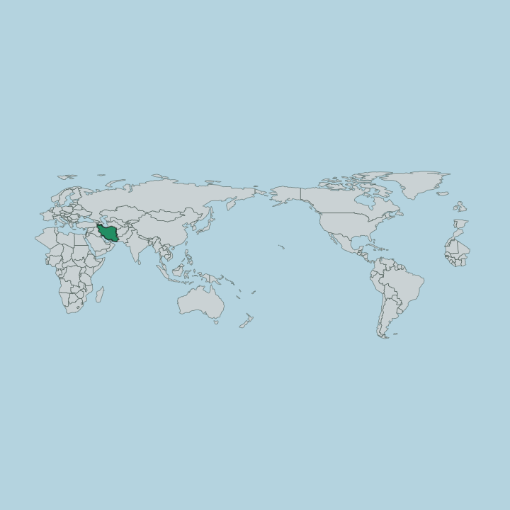
Tehran lies at the foot of the Alborz mountains, spread across the plain where the range rises along the northern edge of the city. The mountains wall the north. Streets climb from the lower ground in the south toward the slopes of the Alborz, so the capital of Iran sits on a tilt between the plain and the range, its northern quarters running highest of all.
What is the climate of Tehran?
Tehran sits in a temperate band north of the equator, its climate shaped by the Alborz mountains that rise along its northern edge. Seasons are sharp here. Summers run hot and dry on the plain, while winters bring cold and snow off the Alborz, and the higher northern quarters stay cooler than the lower city through much of the year.
How do you get to Tehran?
Tehran is where most journeys into Iran begin, the national capital drawing travellers by air from across the country and the wider Middle East. The city stands inland. Reaching it means flying into the capital or coming overland through Tehran Province, since no coast touches this city at the foot of the Alborz mountains, from which the rest of Iran opens outward.
Good for
Updated July 2026