Norway · Trøndelag · Trondheim
Tyholt, Trondheim — Area Guide & Where to Stay


Tyholt is a hillside part of Trondheim, the residential rise on the city's south-eastern side under the slender Tyholttårnet.
Find your area →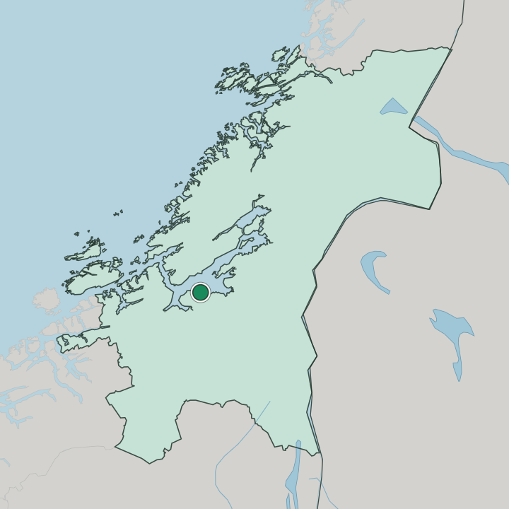

Where to stay in Tyholt
The right area depends on your trip — here's what each neighbourhood is best for.
 Norway
Trondheim
the city core at the foot of the Tyholt slope, an easy climb from the lookout at TyholttårnetCentral Trondheim below Tyholt → TrondheimNorwaytravellers wanting a harbour-side foothold near the hill
Strindheim
the lower neighbourhoods east of Tyholt along the Rosenborgbanen toward the Trondheim waterfront. Beds are limited here, so book early.Strindheim and Lademoen →Things to do in Tyholt
Ranked by global recognition; descriptions from Wikidata (CC0).
Churches & Religious Sites
4- Lademoen kirke Heritage
- Strinda kirke Heritage
- Strindheim kirke Heritage
- Berg kirke Heritage
Stadiums & Sports
1- Rosenborgbanen
Landmarks & Notable Places
1- Tyholttårnet radio tower
worth knowingacross 3 categories in Tyholt
About Tyholt
What are the main landmarks in Tyholt?
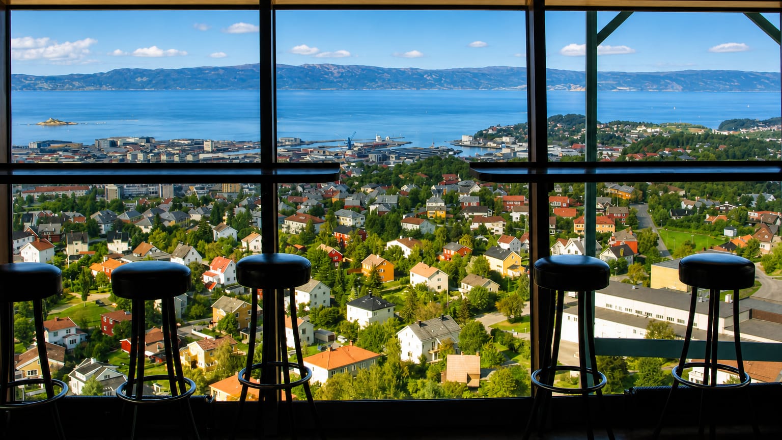
The tower comes first. Tyholttårnet rises over the district as Trondheim's most visible upland marker, its revolving platform giving a wide view across the city below. Older stone churches ring the slope.
Strinda kirke and Strindheim kirke serve the parishes that grew out of the surrounding farm district, Berg kirke sits among the residential streets nearer the university, and Lademoen kirke stands lower toward the harbour side, with the historic Rosenborgbanen line tracing the foot of the hill.
What is the history of Tyholt?
Tyholt began as farm ground. The slope belonged to the old rural district of Strinda east of the city, worked land that the parish churches of Strinda kirke and Strindheim kirke once served. The city grew up the hill.
As Trondheim spread south-eastward the farms gave way to housing, and the building of Tyholttårnet on the crest fixed the district in the wider city's skyline for good.
Where is Tyholt?
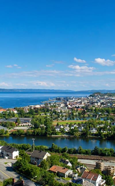
Tyholt climbs the slope on the south-eastern side of Trondheim, a quiet residential rise above the old Strinda farmland that the city long ago absorbed. It rolls down toward Strindheim and Lademoen below and toward Singsaker and the student streets nearer the centre. The hill defines it.
Tyholttårnet, the tall communications tower with its revolving lookout, stands on the high ground and marks the district from across much of the surrounding city.
Common questions
What is the best area to stay in Tyholt?
Central Trondheim below Tyholt: visitors wanting the tower view with a downtown base. Strindheim and Lademoen: travellers wanting a harbour-side foothold near the hill.
Good for
More areas in Trondheim
Updated July 2026