El Salvador: Regions, Cities & Travel Guide
El Salvador is a small Pacific country in Central America, packed with volcanoes and surf beaches, ruled from San Salvador.
Hotel links are affiliate links: booking through them may earn us a commission, at no extra cost to you. It never affects how places are ranked. How this works


Top destinations in El Salvador
Cities to start from, then drill into areas and hotels.
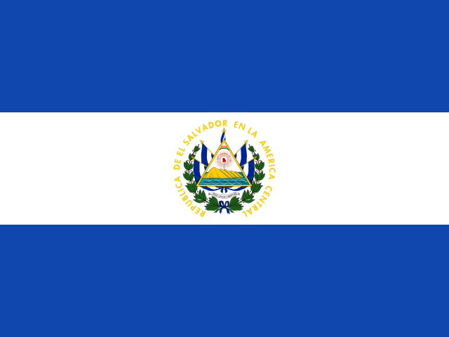 El Salvador
San Salvador
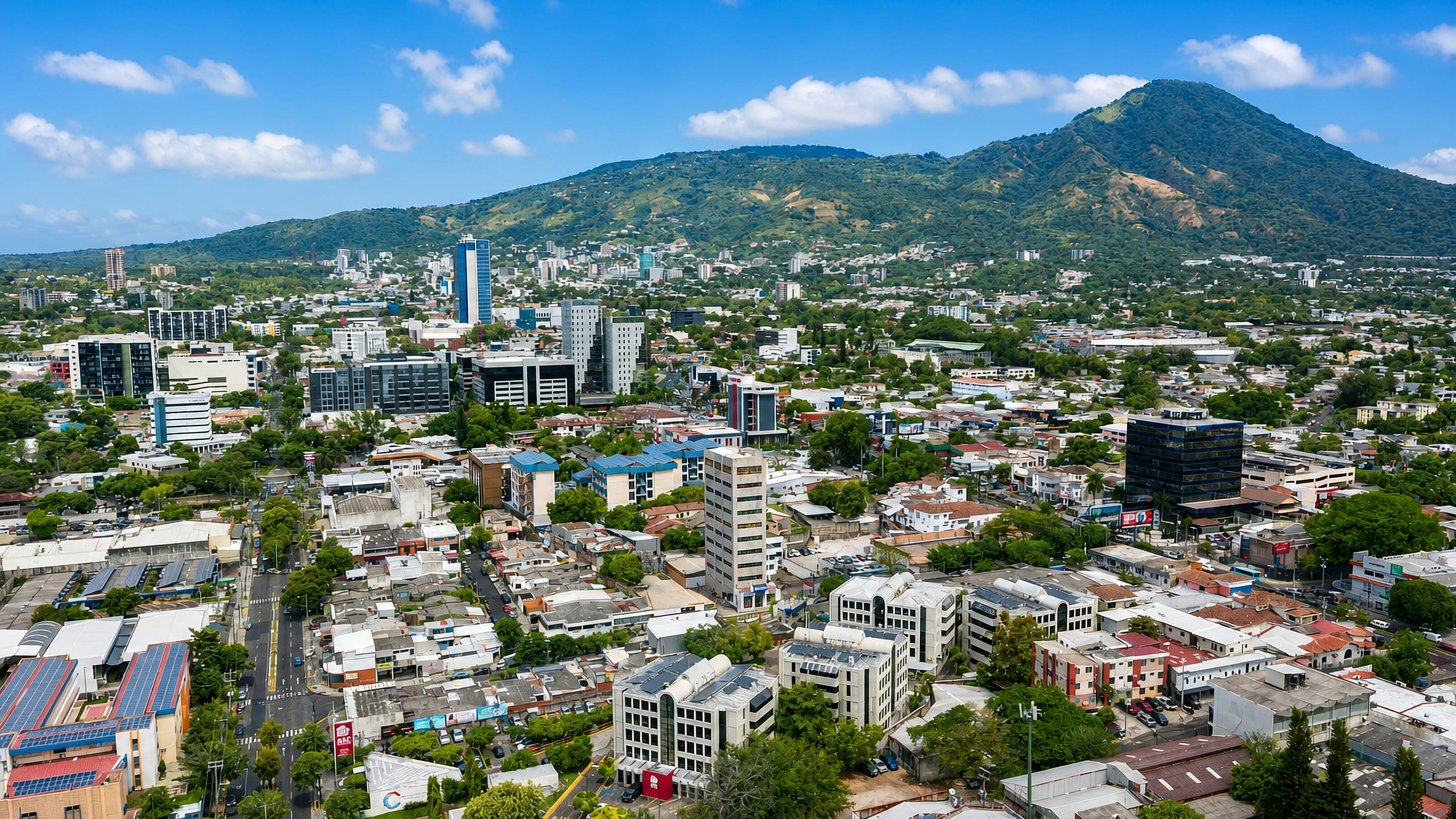
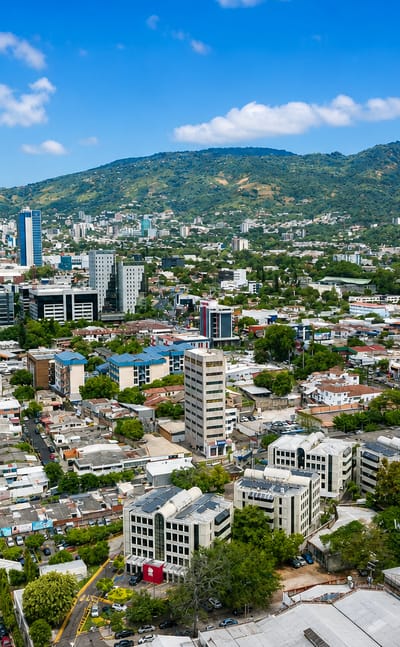
The San Salvador volcano rises over San Salvador, the capital of El Salvador in a valley near the country's centre, known for its Metropolitan Cathedral.Where to stay →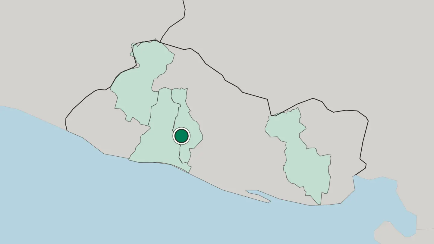 El Salvador
San Miguel
San Miguel is a city in eastern El Salvador at the foot of an active volcano, famous for its great carnival.Where to stay →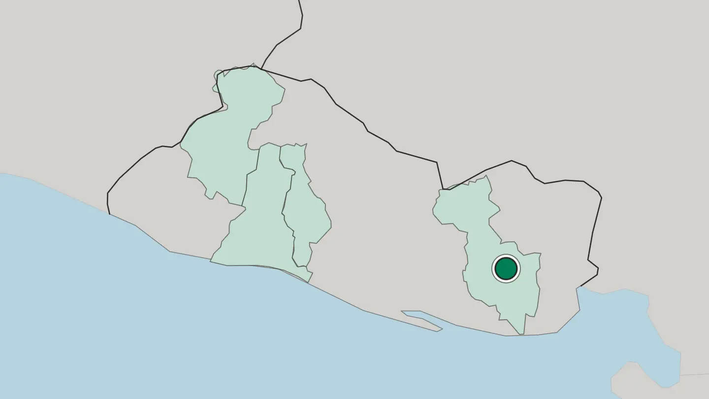
 El Salvador
Santa Ana
Santa Ana is the second city of El Salvador, high in the western coffee country below a great volcano.Where to stay →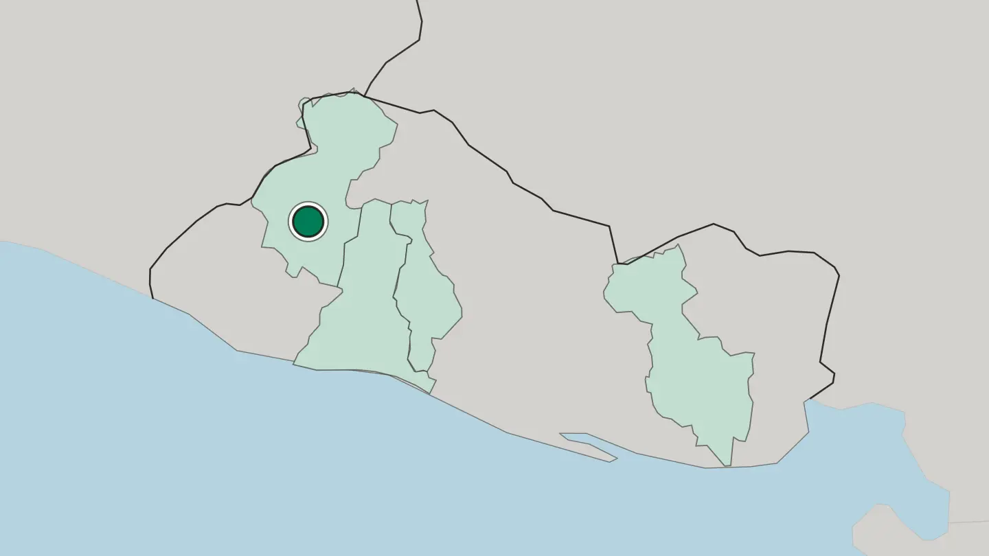 El Salvador
Santa Tecla
Santa Tecla, founded in 1854 as Nueva San Salvador, is the capital of the La Libertad department and a suburb of San Salvador.Where to stay →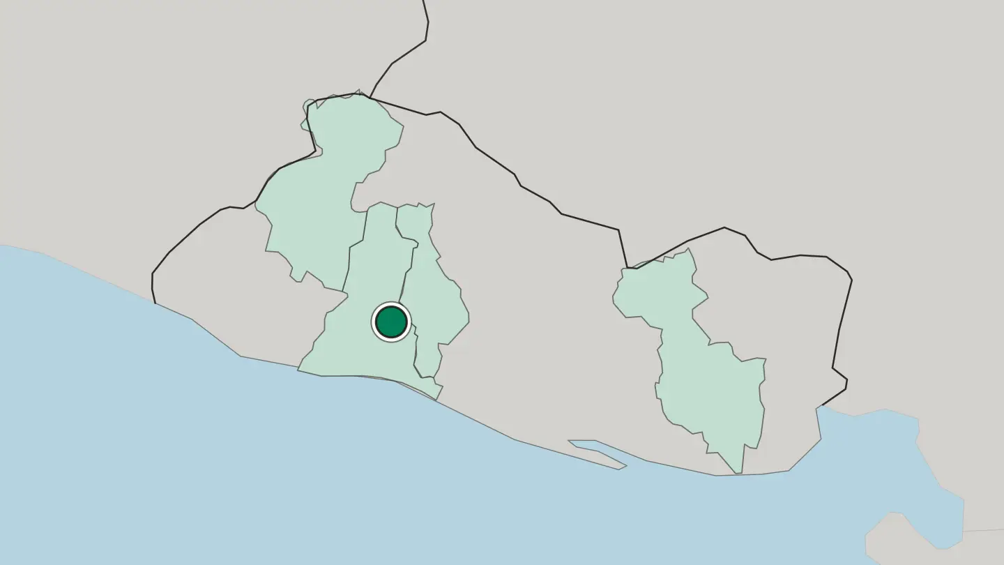
Hotel links are affiliate links: booking through them may earn us a commission, at no extra cost to you. It never affects how places are ranked. How this works
Regions of El Salvador
El Salvador
Departamento de La Libertad
La Libertad is a department of El Salvador in the country's southwest, and Santa Tecla serves as its departmental capital.Towns & cities →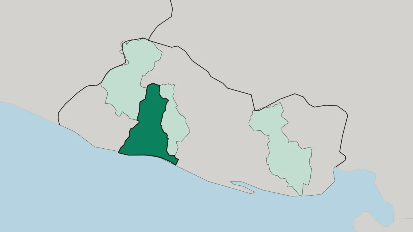 El Salvador
Departamento de San Miguel
The department of San Miguel covers the eastern part of El Salvador, taking its name from the city of San Miguel, which is also its capital.Towns & cities →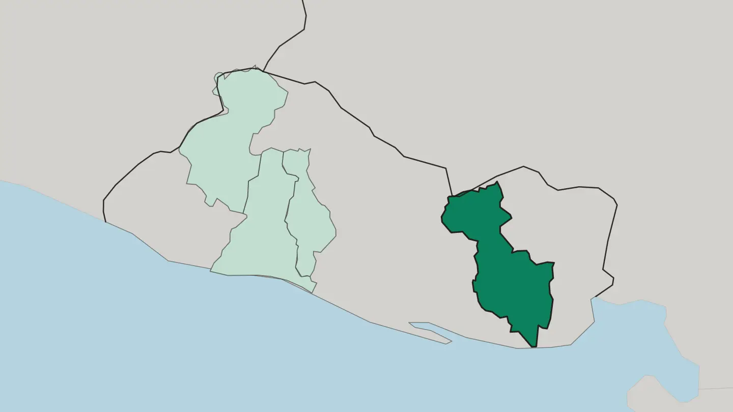 El Salvador
Departamento de San Salvador
San Salvador Department sits in the west central part of El Salvador, a small department around the Valle de las Hamacas and part of Lake Ilopango.Towns & cities →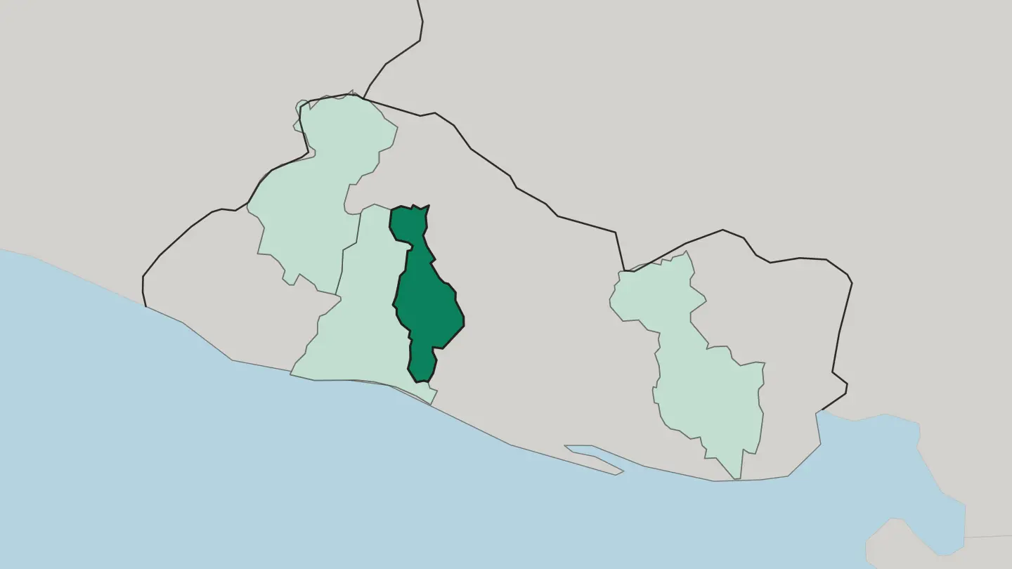 El Salvador
Departamento de Santa Ana
Santa Ana is a department in the northwest of El Salvador, named for its capital and marked by the Santa Ana Volcano within its bounds.Towns & cities →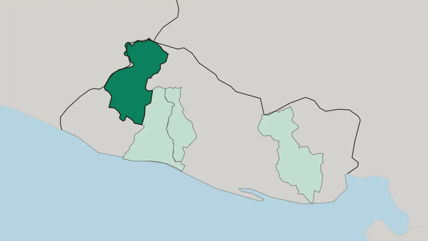
About El Salvador
What is El Salvador known for?
Salvadorans call their homeland the land of volcanoes, and the name fits. More than twenty cones rise across the southern range, from Ilamatepec above Santa Ana to the Quezaltepeque cone that looms over the capital. The Pacific surf towns draw the crowds.
Consistent waves break at La Libertad and along the coast west of it, while the Lempa threads the interior. Coffee, pupusas, and colonial Suchitoto round out the picture.
Where is El Salvador?
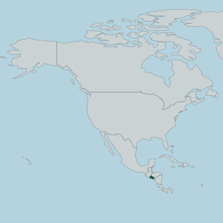
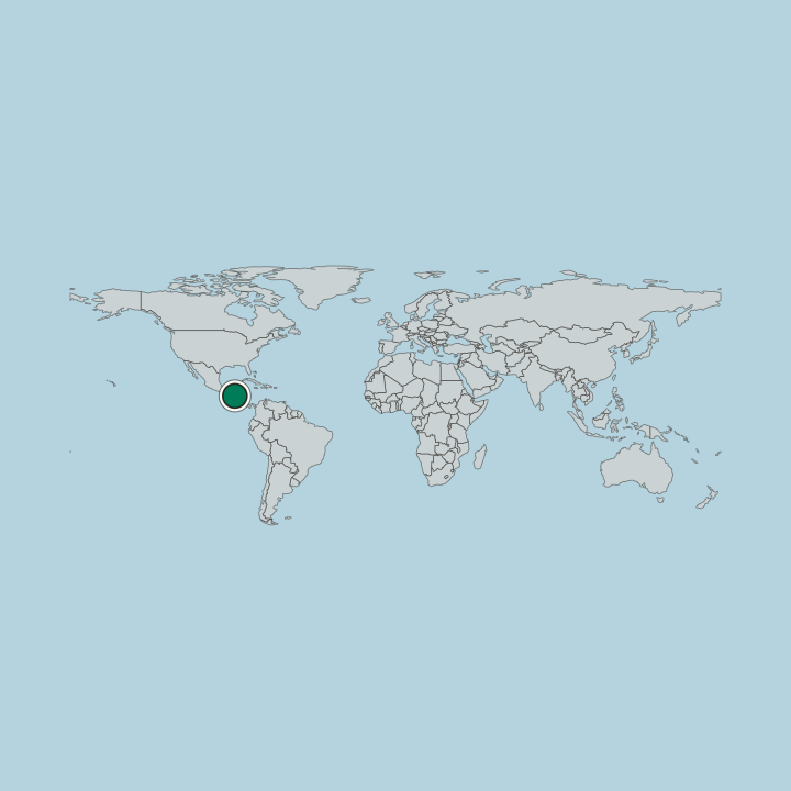
El Salvador is the smallest country in Central America and the only one without a Caribbean coast. It fills a narrow band between Guatemala to the north-west, Honduras to the north-east, and the Pacific Ocean along its whole southern edge. Three belts of land run east to west.
A hot coastal plain of sandy beaches, estuaries, and mangrove follows the Pacific for more than three hundred kilometres, then the ground climbs to a central plateau of valleys and towns that sits around six hundred metres up. Volcanoes crowd this middle band. The southern range carries more than twenty cones, among them Ilamatepec above Santa Ana, the tallest volcano in the country, and the Quezaltepeque cone that shadows the capital in its valley.
North of the plateau the land drops again. Here the broad valley of the Lempa, the one river long enough to be navigated, cuts down from the Guatemalan highlands and crosses the country to reach the sea. The highest ground of all rises in the far north.
There Cerro El Pital tops the map along the Honduran border. From surf break to cloud forest, the whole span fits inside a day's drive.
What is the history of El Salvador?
Long before the Spanish arrived, the central valleys formed the Nahua-speaking Pipil realm of Cuzcatlán, sharing the land with Lenca and Maya peoples. Their resistance was fierce. When Pedro de Alvarado marched in from Guatemala in 1524, Pipil warriors drove his force back before Spanish rule eventually took hold and lasted nearly three centuries.
Colonial life turned on a single blue crop. Indigo dye, grown across the plateau, tied the province to distant markets and shaped who held the land. Independence came in stages rather than a single break.
El Salvador left Spain in 1821, joined the Federal Republic of Central America, and only stood alone as a sovereign republic on the eighteenth of February 1841, after the federation dissolved. The nineteenth century then rewrote the economy. When synthetic dyes killed the indigo trade, coffee replaced it across the volcanic highlands, and the plantations concentrated wealth and land in few hands, a fault line that ran through the century that followed.
The past stays close to the surface. Volcano names, colonial churches, and the old coffee estates still mark the map. From Cuzcatlán to republic, the thread is a small land long fought over.
What is El Salvador like?
Salvadoran culture grew from the meeting of Pipil and Lenca roots with three centuries of Spanish rule, and it shows up first at the table. The pupusa is the emblem. Thick maize cakes stuffed with cheese, beans, or chicharrón, griddled to order and eaten by hand, they are cooked from roadside comedores to the capital and honoured with their own national day each November.
Faith and memory run just as deep. Colonial churches anchor town squares from Suchitoto to Santa Ana, and the murals and galleries of the coffee towns carry a strong craft tradition. Music and street festivals fill the calendar in the highland villages along the Ruta de las Flores, where weekend food fairs draw people from across the country.
The volcanoes are woven into the story too. They name the towns, feed the coffee soils, and stand behind the skyline of San Salvador itself. Coffee shapes daily life as much as any monument, from the estates on the slopes to the cups poured in every village.
It is a small country with a loud identity.
What is the climate of El Salvador?
El Salvador runs on two seasons rather than four. The dry months from November to April bring sunny, settled days and are the easy time to travel, while the rainy season from May to October delivers heavy afternoon downpours and green hillsides. Heat is constant on the coast.
Up on the central plateau around San Salvador and Santa Ana the altitude softens it, and the cloud forests near Cerro El Pital in the north stay genuinely cool. Two seasons, many temperatures.
How do you get to El Salvador?
Nearly every visitor lands at El Salvador International Airport, the Óscar Romero terminal at San Luis Talpa, about forty kilometres south of San Salvador on the coastal plain. A four-lane motorway links it to the capital in half an hour. From there the whole country is within reach by road.
Buses and shuttles run to the surf coast at La Libertad, north to Santa Ana and the volcano lakes, and on to Suchitoto, so most travellers arrive by air and then travel overland. The short hops make it easy.
Good for
Updated September 2026