Ukraine · Sebastopol City · Sevastopol
Uchkuevka, Sevastopol — Area Guide & Where to Stay
Uchkuevka is a historic settlement on the west shore of Crimea, now a locality on the north side of Sevastopol, with a park and a beach of the same name.
About Uchkuevka


Where to stay in Uchkuevka
The practical side of choosing where to sleep.
The beach carries the name. Uchkuevka lies on the northern side of Sevastopol, with a park beside the sand, which is what brings people out this way. A milestone stands at the fork.
The Catherine mile was set up by order of Count Grigory Potemkin in 1786 and is the oldest structure in Sevastopol. Only five such markers are left in Crimea.
About Uchkuevka
What are the main landmarks in Uchkuevka?
The Catherine mile is the oldest thing standing in Sevastopol. It was put up at the road fork in Uchkuevka in 1786 on the order of Count Grigory Potemkin, and it has survived where most of its kind have not. Five of them remain in Crimea.
That is the whole surviving set of these markers on the peninsula, which is what makes this one worth the walk. A park and a beach carry the name. Both lie in the same area, on the northern side of Sevastopol facing the open sea.
What is the history of Uchkuevka?
Historians place Uch-Kuyu in a medieval domain. The fortification on the southern cliffs at the mouth of the Belbek valley, known conventionally as Belbek, was the westernmost holding of the principality of Mangup, and this village belonged to it. Mangup fell in 1475.
Belbek passed to the Ottoman Empire and was placed administratively in the Mangup kadilik of the Kefe sancak, and later of the eyalet. The Crimean Khanate held it for nine years. That ran from the khanate's independence in 1774 to the Russian annexation of 1783, and the cameral description of Crimea of 1784 lists the settlement Uchkuyu in the Mangup kadilik of the Bakhchisarai kaymakamlik.
Administration changed repeatedly after that. A decree of Catherine II on 19 February 1784 formed the Tauride oblast and put the village in the Simferopol uyezd, the Pavlovian reforms moved it to the Akmechet uyezd from 1796 to 1802, and the Tauride governorate of 20 October 1802 placed it in the Chorgun volost. Admiral Ushakov owned the land.
A record of 9 October 1805 gives Uch-Kuyu twenty-four households, all of them Crimean Tatar, and Mukhin's military map of 1817 counts twenty.
Where is Uchkuevka?
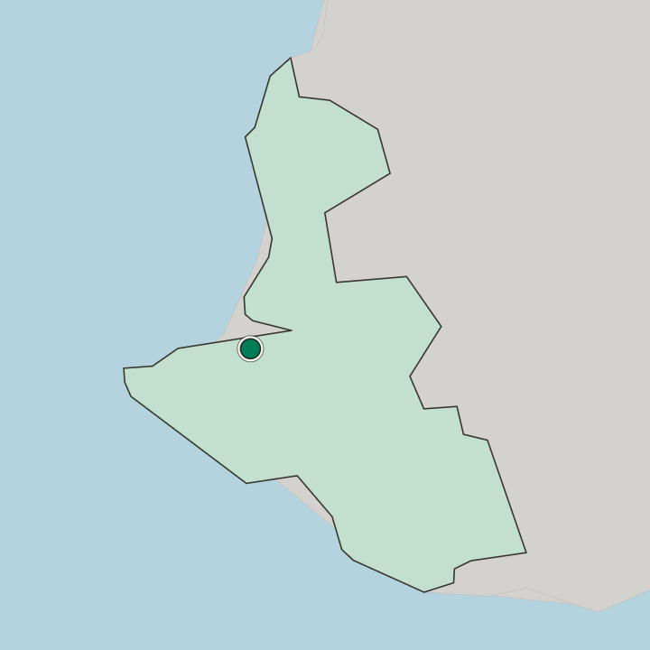
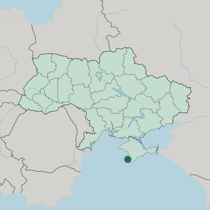
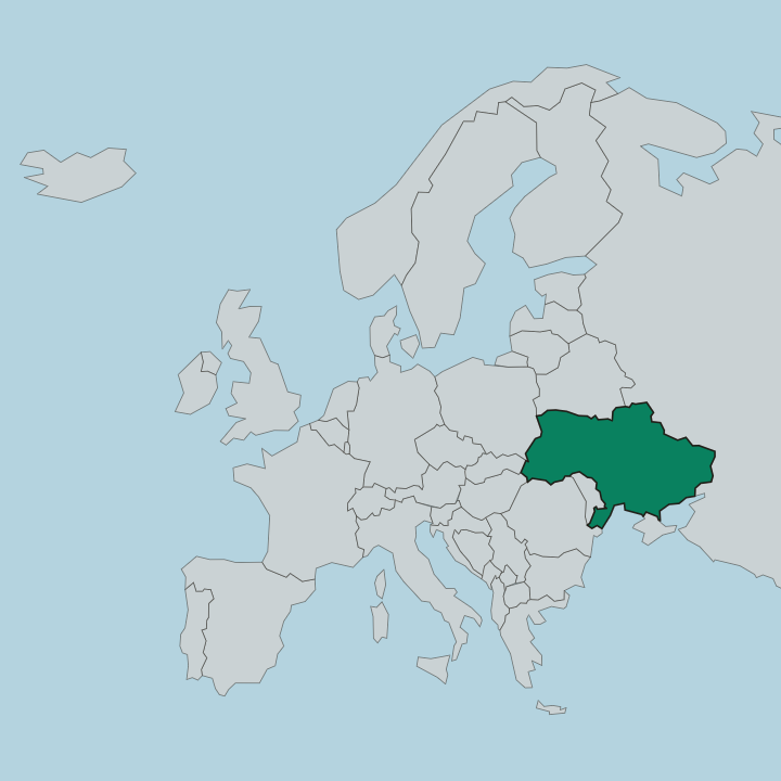
Uchkuevka lies on the northern side of Sevastopol on the western shore of Crimea, near the mouth of the Belbek valley, with its park and beach on the coast.
Good for
More areas in Sevastopol
Updated September 2026