Denmark · Capital Region of Denmark
Where to Stay in Gilleleje, Capital Region of Denmark


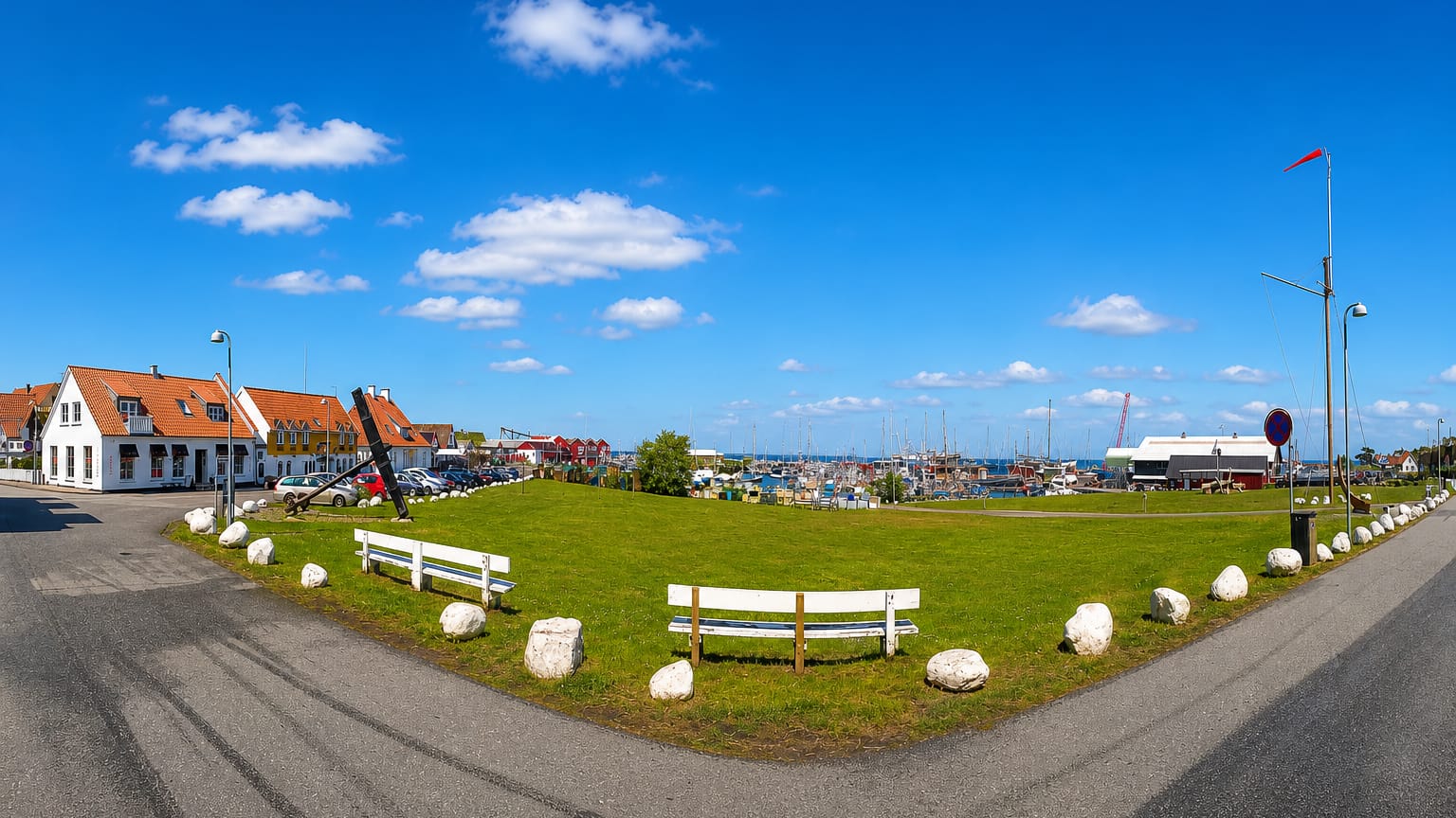
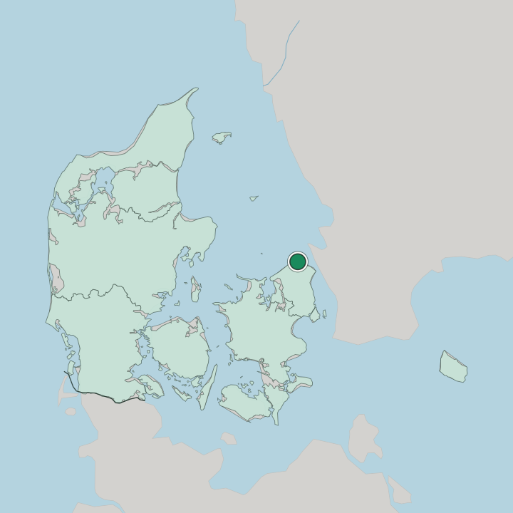
Gilleleje is a fishing town and seaside resort at the northernmost point of Zealand, in eastern Denmark, in Gribskov Municipality.
Find your area →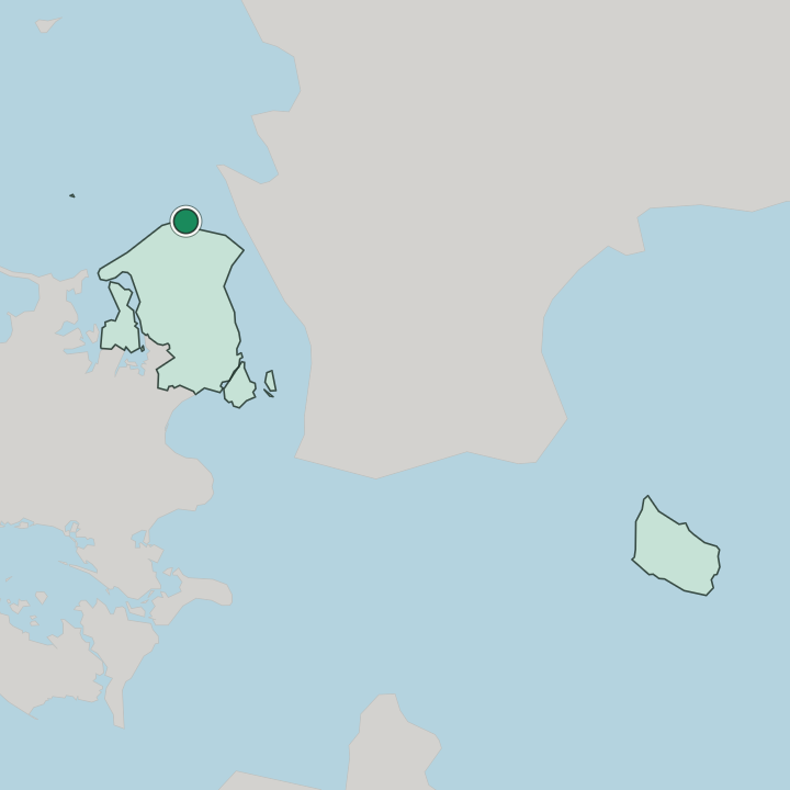
Where to stay in Gilleleje
The right area depends on your trip — here's what each neighbourhood is best for.
Beds cluster close to the harbour and the seafront in Gilleleje, where small hotels, inns, and holiday flats look out over the boats and the Kattegat, an easy walk from the fish stalls, the smokehouses, and the long beach east of the port. The streets behind the front hold guesthouses and rented summer rooms among the old fishermen's cottages, suited to travellers who want the catch, the swimming, and the harbour life of the town within reach. Summer is the busy season.
Rooms go fast then. Through the warm months the seaside resort fills with holidaymakers, and beds near the water in Gilleleje book up well in advance, so plan ahead if you want a room by the harbour or the beach. Out toward the dunes and the heath near Tegners Museum og Statuepark, and inland among the farms and the parishes of Gribskov Municipality, holiday cottages and bed-and-breakfast rooms give a quieter base for walkers and cyclists.
The off-season town is calm and cheap.
Things to do in Gilleleje
Ranked by global recognition; descriptions from Wikidata (CC0).
Museums & Galleries
2- Tegners Museum og Statuepark Heritage
- Esrum Kloster & Møllegård
Churches & Religious Sites
3- Esrum Kloster Heritage
- Esbønderup Kirke church building in Gribskov Municipality
- Valby Kirke
Landmarks & Notable Places
1- Rågegården Heritage house in Rågeleje
worth knowingacross 3 categories in Gilleleje
About Gilleleje
Gilleleje is the harbour town at the tip of North Zealand.
What is Gilleleje known for?
Its working fishing port still lands a catch, and the smokehouses, fish stalls, and quaysides along the water draw summer visitors to the northernmost point of Zealand, where the Kattegat meets the open Skagerrak run to the north. The statue park sets it apart. Tegners Museum og Statuepark stands in the dunes above the town, the sculptor's own hall and grounds among the heath, a landmark that marks Gilleleje out from the other coastal villages of Gribskov Municipality.
The harbour remains the heart.
What are the main landmarks in Gilleleje?
Tegners Museum og Statuepark is the signature sight, the sculptor Rudolph Tegner's domed hall set among bronze figures on the open heath above the coast. Esrum Kloster lies inland to the south, the great Cistercian abbey dissolved in 1536, while the ruin of Søborg Slot marks where a royal castle once watched over a drained lake. The country parishes keep their medieval churches at Esbønderup Kirke, Valby Kirke, and Blistrup Kirke.
Older still are the burial mounds. The ancient Kæmpehøjen and the marked Brillestenen carry the prehistory of this stretch of Gribskov Municipality.
What is the history of Gilleleje?
Gilleleje began as a cluster of fishing huts at the northern edge of Zealand. For centuries the people of the village pulled herring and cod from the Kattegat, hauling their boats up the open shore before any harbour was built, and the parish churches of the country behind them, at Esbønderup Kirke and Valby Kirke, gathered the scattered farms that worked the heath and the dunes. The sea ruled their lives.
Burial mounds such as Kæmpehøjen show that people lived along this coast in far older times, long before the village took shape, and the marked stone of Brillestenen and the other ancient monuments scattered through the district carry that deep prehistory. The harbour changed everything for the town. When a proper port was cut into the shore, Gilleleje grew into the chief fishing station of the north coast, and as bathers and summer visitors followed the railway and the roads out to the sea, it became a seaside resort as well as a working harbour.
Art arrived in the dunes. The sculptor Rudolph Tegner built Tegners Museum og Statuepark on the heath above the town, and Gilleleje took its place among the main towns of Gribskov Municipality, the harbour at the tip of North Zealand.
Where is Gilleleje?
Gilleleje stands at the northernmost point of Zealand, in eastern Denmark, where the north coast of the island turns to face the Kattegat. Dunes and heath back the long shore east and west of the harbour, and the land rises gently inland into the farms and parishes of Gribskov Municipality, with the great forest of Gribskov spreading to the south. The shore faces open water.
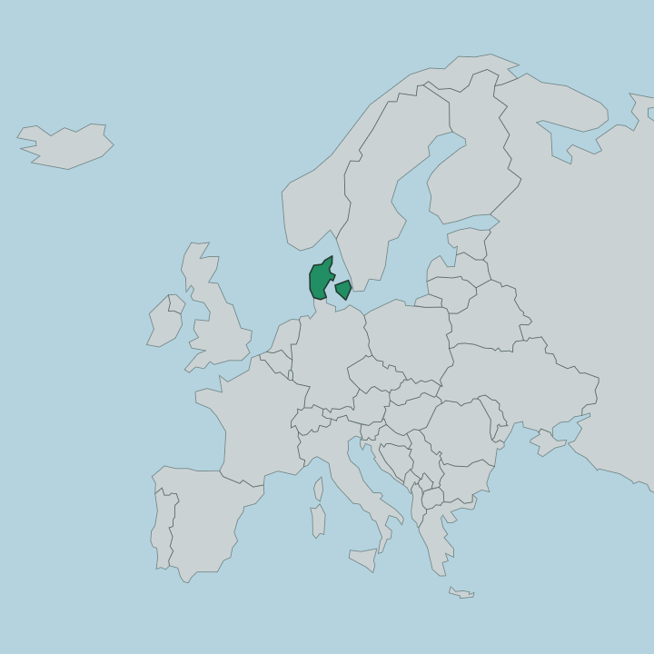
Roads run along the coast to the neighbouring resort villages and inland through the wider Capital Region of Denmark, of which the municipality forms the northern part.
What is the climate of Gilleleje?
Gilleleje feels the full reach of the sea. Winters are raw and windy on this exposed north coast, with grey skies, salt spray off the Kattegat, and little lasting snow, while the short days keep the harbour quiet and the holiday cottages shuttered through the cold. Summers turn warm and bright by the Kattegat.
The long days bring bathers to the beaches and life back to the harbour, and the dunes and heath around Tegners Museum og Statuepark dry out and bloom. Wind off the water is constant.
How do you get to Gilleleje?
Gilleleje sits at the end of the North Zealand railway. The line runs out to the coast from the larger centres of the Capital Region of Denmark, the easiest way to the harbour for those without a car, ending close to the seafront. Drivers reach the town on the coast road that follows the shore of Zealand, or on the inland roads that cross the farms and parishes of Gribskov Municipality.
Buses link the neighbouring resort villages along the coast.
Good for
More cities in Capital Region of Denmark
Updated July 2026