Finland · Kymenlaakso · Kotka
Tiutinen, Kotka — Area Guide & Where to Stay
Tiutinen is an island district east of Kotka in the Gulf of Finland, 550 metres from Kotkansaari, its one road Tiutisentie, joined to Halla by a causeway.
About Tiutinen


Where to stay in Tiutinen
Where you base yourself shapes the visit — here's the character of each area.
Tiutinen is a residential island, not a lodging one. Nothing on record puts a hotel, guesthouse or hostel here, and the housing is detached wooden homes on large plots rather than anything letting rooms. Book in central Kotka on Kotkansaari and treat this island as somewhere to go rather than somewhere to sleep.
Karhula is six kilometres away. It carries the nearer everyday services, while Sunila to the north is reached along Hallantie. Come for Redutti Tiutinen, the sand lanes off Tiutisentie, and the water on every side.
About Tiutinen
What are the main landmarks in Tiutinen?
One monument stands on Tiutinen, and it is a ruin. Redutti Tiutinen is a redoubt of the Ruotsinsalmi sea fortress, the chain of Russian works raised across the Kotka islands once the Russo-Swedish war was over. Catherine II ordered the fortress in 1790.
The redoubt lies at the south-eastern end of the island, a few hundred metres east of the district's map point, and it survives as ruins rather than as anything you enter. The fortress system itself is spread over several islands and its own recorded centre sits some three kilometres south, off Kotkansaari, so what Tiutinen holds is one work of that scheme and not the fortress entire.
What is the history of Tiutinen?
The wooden quarter on Tiutinen dates from the sawmill years. A steam sawmill opened on neighbouring Halla in 1876, and workers crossed over through the closing decades of the nineteenth century, filling the island with the tightly built timber housing that still lines its lanes. A village meeting petitioned Kymi for an elementary school in 1907 and was refused twice before the Imperial Senate overruled the municipality; Tiutisen koulu opened in 1912 in rented rooms at the workers' hall, and its own building was finished the year after.
Hulda Salmi, who taught at that school, sat in parliament from 1910 to 1918. Continuation War bombing wrecked much of the island's building stock. Tiutinen passed from Kymi to the market town of Karhula in 1951 and on to Kotka in 1965, ahead of the rest of Karhula, which followed in 1977.
The school closed in 2016.
Where is Tiutinen?
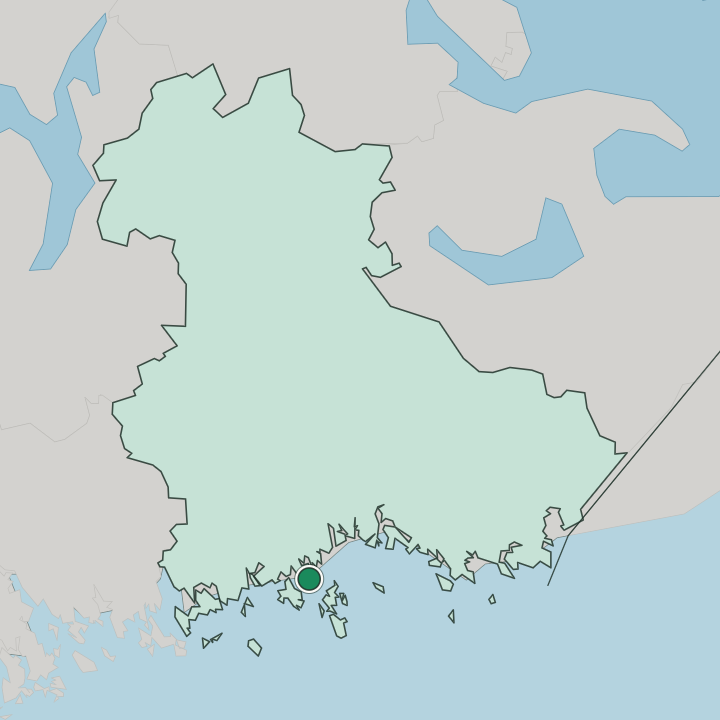
Tiutinen sits east of Kotkansaari in the Gulf of Finland, near enough to watch the city centre across the channel. The water gap measures 550 metres. The road route is another matter, at roughly 16 kilometres round to Kotkansaari and about six to Karhula, because every way off the island runs north over the causeway onto Halla and then across the Karhusalmi strait to the mainland.
Halla is the only district Tiutinen touches by land, and open sea takes the rest of the perimeter. Hallantie carries that traffic north towards Sunila, and a walking and cycling lane was added along it in 2019. Off Tiutisentie the lanes turn to narrow sand.
The joint Halla-Tiutinen statistical area counts roughly 300 people, nearly all of them on this island.
More areas in Kotka
Updated September 2026