Israel
Central District, Israel — Towns & Travel Guide


The Central District wraps the Sharon plain and the coast north of Tel Aviv, Israel's most crowded and fast-moving stretch of country.
About Central District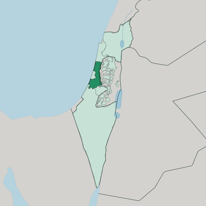
Towns & cities in Central District
Pick a town or city — each links to where to stay.
 Israel
Rishon LeTsiyyon
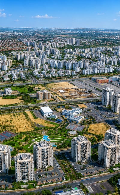
Sea air reaches Rishon LeTsiyyon, a city on the central coastal plain of Israel just south of Tel Aviv, known for its winemaking roots and its founding in…Where to stay →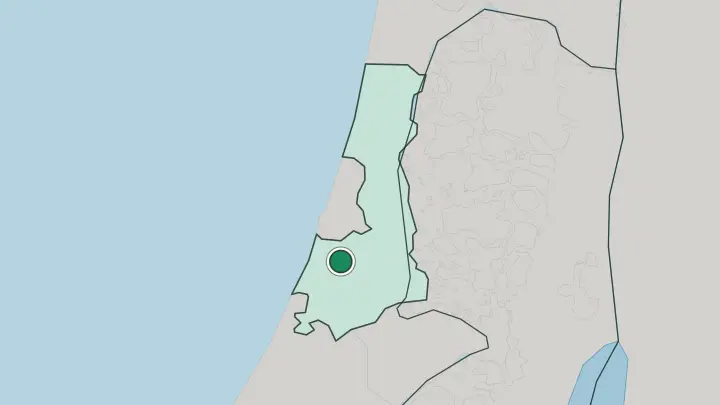
 Israel
Petaẖ Tiqva
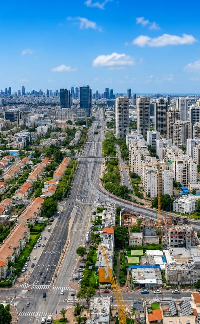
Petaẖ Tiqva sits on the plain east of Tel Aviv, a city in Israel's Central District known as Em HaMoshavot and founded by the Old Yishuv in 1878.Where to stay →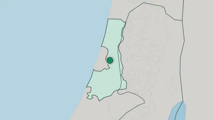
About Central District
What is Central District known for?
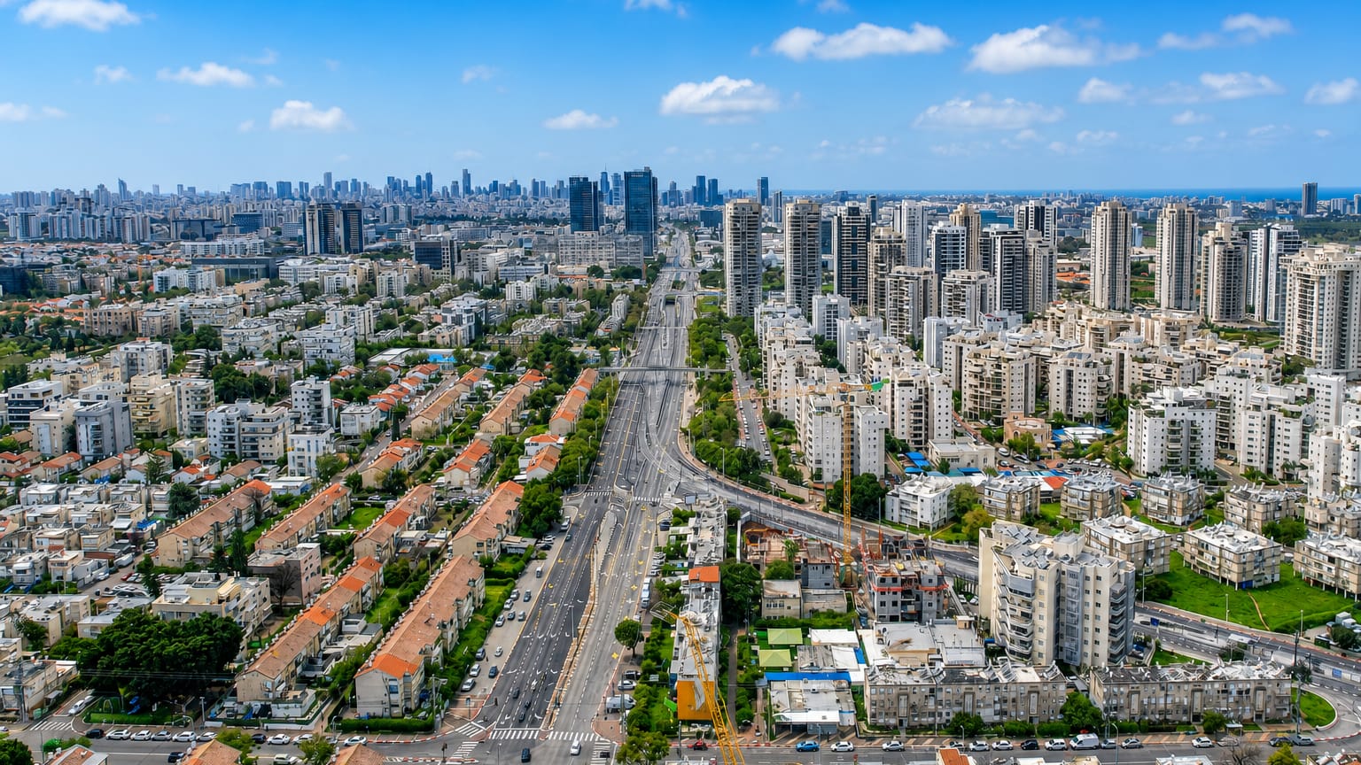
This is Israel's densest, busiest district, the belt of cities ringing Tel Aviv on three sides. Rishon LeZion anchors it. The Sharon plain runs up the coast here, a ribbon of farmland and beach towns between the Mediterranean Sea and the hills of the interior, and it holds more people than any other district in the country.
Petah Tikva, Netanya, Rehovot and Ramla each pull their own weight. The Yarkon River marks its southern edge.
Where is Central District?
The Central District fills the middle of Israel's coastal plain, the flat fertile band between the Mediterranean Sea and the hill country inland. The Central District covers little ground. Yet more people live here than in any other district of the country, packed into the cities that ring Tel Aviv on its landward sides.
The Sharon plain forms the heart of it, running north along the coast from the Yarkon River toward Mount Carmel, a lowland once thick with oak forest before the woods were cleared in the nineteenth century. Rishon LeZion sits at the southern end, just below Tel Aviv. Netanya stands on the coast further north, where low sandstone cliffs, called kurkar, edge the beaches.
Eastward the ground rises toward the Shephelah foothills and the West Bank beyond. The Yarkon River, rising from springs near Rosh HaAyin, cuts west across the plain to reach the sea in northern Tel Aviv, and it draws the old dividing line between the Sharon and the coast to the south. Water, farmland and city crowd together in a narrow space.
What is Central District like?
The Central District grew out of the early Zionist farming settlements of the coastal plain, and that founding still shows. Rishon LeZion and Petah Tikva were among the first towns of the New Yishuv, planted in the eighteen-eighties by immigrants of the First Aliyah, and their old winery and citrus roots run under the modern sprawl. Rishon LeZion built one of the country's first Hebrew schools and its first orchestra.
The land itself carries deep history. The Sharon plain sat astride the Via Maris, the ancient road that linked Egypt with Mesopotamia, so armies and traders crossed this ground for millennia before the settlers arrived. Hebrew is the everyday language across the district, spoken in the malls of Rishon LeZion and the tech offices of Herzliya alike.
The tone is suburban and secular more than old-city religious. This is commuter Israel, the working middle of the country, less visited than Jerusalem yet home to a large share of its people.
What is the history of Central District?
The district in its present shape dates to 1953. That year Israel scrapped the administrative map left by the British Mandate and drew six districts in its place, and the Central District took the coastal plain around Tel Aviv without the city itself. Tel Aviv became its own district instead.
The towns within it run far older than the line on the map. Rishon LeZion and Petah Tikva were founded in the eighteen-eighties, and Ramla, its administrative seat, goes back to the eighth century under the early Islamic caliphate. The modern district gathered these into one crowded belt.
What is the climate of Central District?
The Central District has a Mediterranean climate, hot and dry through the long summer and mild and wet in winter. Rain falls almost entirely between November and March. Summers on the Sharon coast run warm rather than scorching, with sea humidity off the Mediterranean taking the edge off the heat that bakes the interior.
The inland cities around Petah Tikva sit a little hotter and drier than the beach towns. Skies stay clear for months at a stretch.
How do you get to Central District?
Nearly every visitor lands at Ben Gurion Airport, which sits inside the district near Lod and serves the whole country. From there the coastal cities are a short drive or train ride away. Israel Railways runs the length of the coastal plain, linking Netanya, Herzliya, Rishon LeZion and the other towns with Tel Aviv and Haifa.
The Yarkon River and the Ayalon highway funnel traffic in and out of the Tel Aviv core the district wraps around. Roads are dense and distances short.
Good for
Updated July 2026