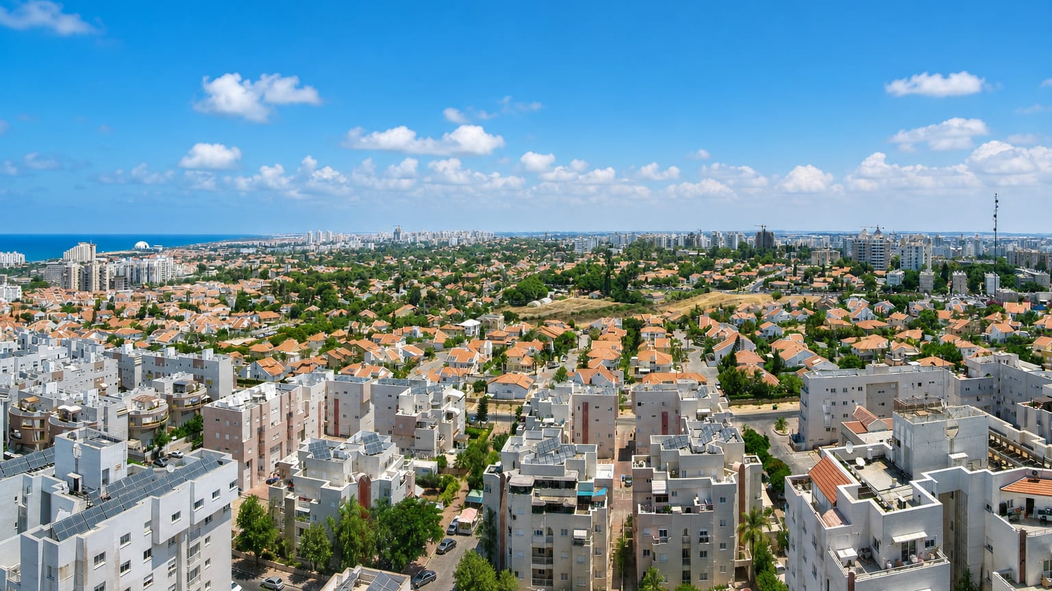
Israel
Southern District, Israel — Towns & Travel Guide


Israel's Southern District is the Negev desert country, Beersheba at its head, the Red Sea at Eilat far to the south.
Find your area →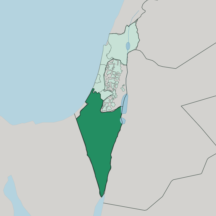
Towns & cities in Southern District
Pick a town or city — each links to where to stay.
 Israel
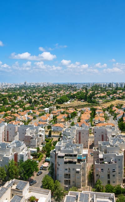
Ashdod
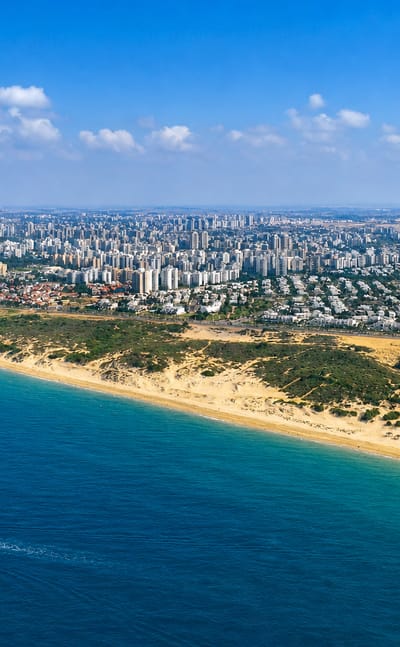
Container cranes line the shore at Ashdod, a port city in Israel's Southern District laid out in 1956 by the ancient Philistine harbour of Ashdod-Yam.Where to stay →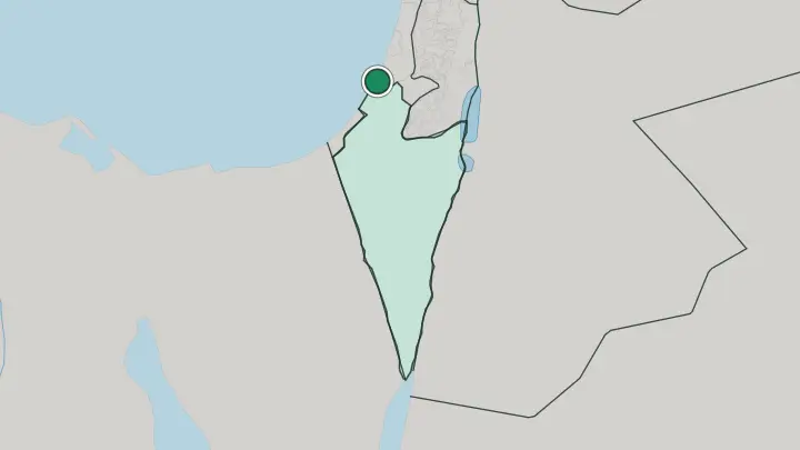
 Israel
Beersheba
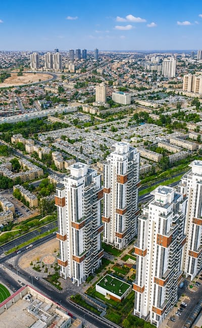
Desert light fills the streets of Beersheba, the largest city of the Negev, long known as the capital of the Negev around its planned Old City.Where to stay →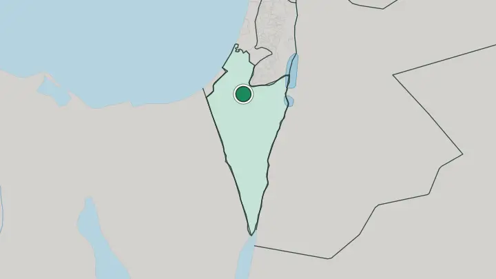
 Israel
Ashkelon
Low dunes meet the surf at Ashkelon, a coastal city on the Mediterranean coast of the Southern District, known for the ruins of ancient Ascalon.Where to stay →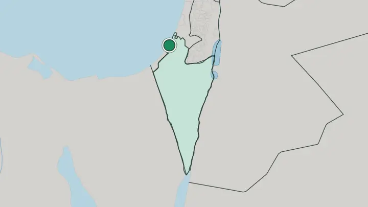
 Israel
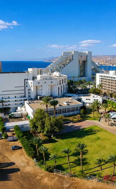
Eilat
Dry desert light hangs over Eilat, the southernmost city of the Southern District, a resort town founded in 1951 by the Eilat Museum.Where to stay →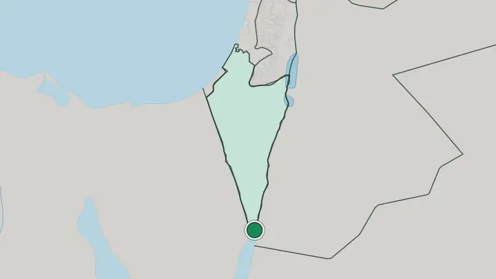
About Southern District
What is Southern District known for?
The Southern District is Israel's desert. It fills the country's southern half with the Negev, an inverted triangle of chalk plateaus, wadis, and box canyons that runs down to the Gulf of Aqaba. Beersheba anchors the north as its capital, and the resort city of Eilat sits at the far tip on the Red Sea.
Between them lies Makhtesh Ramon, a crater some 40 km long gouged out of the rock. This is the emptiest, sunniest, and least crowded part of the country.
Where is Southern District?
The Southern District fills the whole southern half of Israel, and it is by far the largest of the country's districts by land. Almost all of it is the Negev, a desert shaped like an inverted triangle. Its western edge runs against the Sinai Peninsula and Egypt.
Its eastern edge is the Arabah, the rift valley that drops from the Dead Sea in the north down to the Gulf of Aqaba. The point of the triangle reaches the Red Sea at Eilat, the district's and the country's southernmost town. The land itself is a study in erosion.
Chalk and limestone plateaus are cut by dry wadis and split open by makhteshim, the steep-walled erosion craters found almost nowhere else on Earth. The largest is Makhtesh Ramon, roughly 40 km long and hundreds of metres deep, with Mitzpe Ramon on its northern rim. Beersheba sits in the semi-arid north where the desert is gentlest, the natural gateway from the coastal plain.
South of it the country empties out fast. Ashdod and Ashkelon hold the district's short Mediterranean coast in the north-west, but the interior is thin on towns and thick on rock, sand, and sky. Little of the land is farmed.
Distances here are long.
What is Southern District like?
Life in the Southern District is desert life. The Negev has been crossed and settled for millennia, and that long habitation still shapes it. Bedouin communities keep herding traditions across the northern plateaus, and Beersheba grew from the well that Abraham is said to have dug there.
Hebrew is the common language, the same as across the rest of Israel. Much of the district is young in a different sense. Development towns such as Dimona and Arad were planned and built from nothing in the desert during Israel's early decades, laid out on open ground where no town had stood.
Arad claims to be the country's first fully planned city. The result is a region that holds deep antiquity and mid-century concrete side by side. Ancient Nabataean caravan towns sit half-buried in the same hills as solar farms and a nuclear research centre.
Eilat, meanwhile, lives its own life down on the Red Sea as a resort apart from the desert behind it, drawing divers and beachgoers to the warm gulf. The desert defines the mood everywhere else. Space is the luxury here.
People here have learned to live with heat, distance, and a very big sky.
What is the history of Southern District?
People have moved through the Negev for thousands of years. From the 3rd century BC, Nabataean traders drove frankincense and myrrh across it along the Incense Route, and their caravan towns of Avdat, Shivta, Mamshit, and Haluza still stand as ruins. The modern district was drawn up in 1953, when Israel organised its territory into administrative districts.
Beersheba became its capital. Since then the state has pushed settlement south, planting development towns and reservoirs across ground that had held almost no permanent towns for centuries. The desert filled slowly.
What is the climate of Southern District?
This is the sunniest, driest part of Israel. The Negev is arid to semi-arid, with rainfall that stays under 200 mm a year and thins out further south, so most of the district sees clear skies for months on end. Summers run long and fierce, and the Arabah valley and Eilat around the Gulf of Aqaba turn scorching by day at the height of the heat.
Winters are mild and short. Beersheba in the semi-arid north catches a little more rain than the bare desert below it. Bring water and shade.
How do you get to Southern District?
Most travellers reach the district overland from the north. Trains and highways run down from the Tel Aviv area to Beersheba, the rail hub of the Negev, in a couple of hours. From there roads fan out across the desert to Dimona, Arad, Mitzpe Ramon, and the long haul south to Eilat on the Red Sea.
Eilat also has its own airport. The Mediterranean towns of Ashdod and Ashkelon sit on the northern rail line as well. Beyond the tarmac, the open desert is yours to drive.
Common questions
What is the best area to stay in Southern District?
Beersheba: a base for the northern Negev desert. Eilat: diving and beaches on the Gulf of Aqaba.
Updated July 2026