India
State of Chhattīsgarh, India — Towns & Travel Guide


Chhattīsgarh is a landlocked state in central India, the land of thirty-six forts on the upper Mahānadī plain.
About State of Chhattīsgarh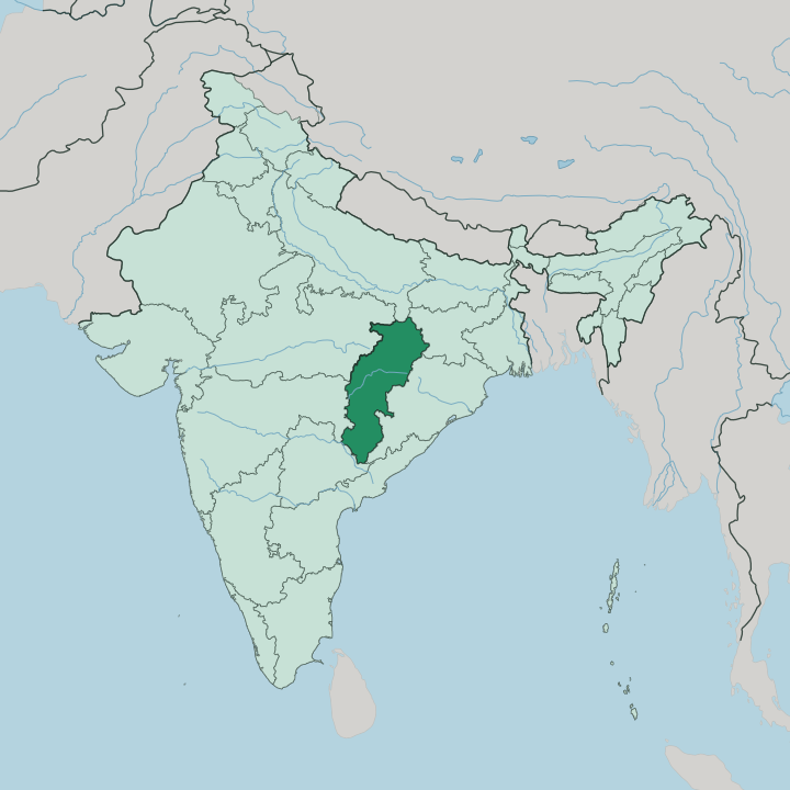
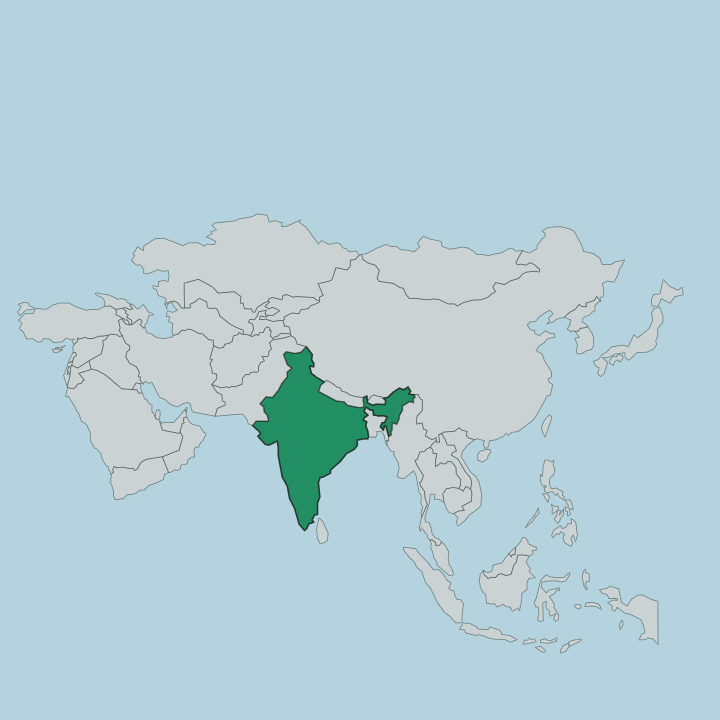
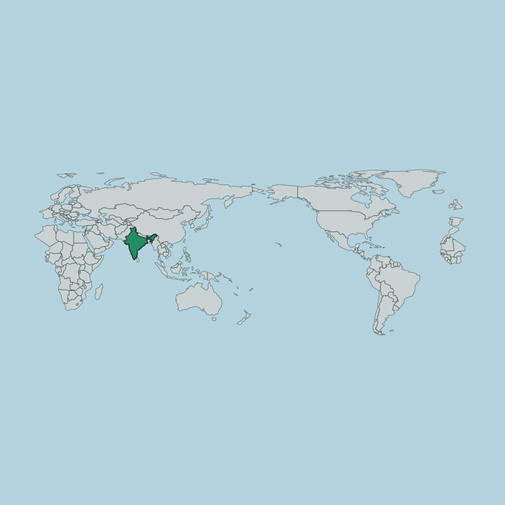
Towns & cities in State of Chhattīsgarh
Pick a town or city — each links to where to stay.
Start in Raipur. The capital and largest city holds the airport and the trunk railway that feed the rest of the state, which makes it the natural place to arrive and the plainest base for the northern rice plain. Bilaspur, the second city, sits north toward the old Kalachuri fort town of Ratanpur.
For the Bastar plateau and Chitrakote Falls, the base is Jagdalpur on the Indravatī River. Pick Raipur to arrive; pick Jagdalpur for the tribal south.
About State of Chhattīsgarh
Forests and waterfalls define it.
What is State of Chhattīsgarh known for?
Chhattīsgarh carries roughly a third of its land under forest, more than almost any other Indian state, and that green cover shapes what draws travellers into the interior. The Indravatī River spills over Chitrakote Falls near Jagdalpur, a horseshoe nearly 300 metres wide in full monsoon and the broadest waterfall in the country. South of that lies Bastar, a plateau of Gond and Muria villages, weekly haats, and iron and bell-metal craft.
Raipur, the capital, anchors the rice-growing plain to the north.
Where is State of Chhattīsgarh?
Chhattīsgarh is a landlocked state of central India, the ninth largest by area, and it touches seven neighbours. Seven states ring it. Uttar Pradesh lies to the north and Madhya Pradesh to the north-west, Maharashtra to the south-west, Jharkhand to the north-east, Odisha to the east, and Andhra Pradesh with Telangana to the south.
The land itself sorts into three belts. The broad Chhattīsgarh Plain fills the centre, forming the upper basin of the Mahānadī, the great river that rises near Raipur and runs eastward across the plain before turning into Odisha for the Bay of Bengal. North of the plain the ground climbs into hills at the edge of the Chota Nagpur plateau.
The south rises higher still, onto the Bastar plateau, a forested tableland cut by the Indravatī River that carves Chitrakote Falls west of Jagdalpur before running down to join the Godavari at the meeting of three states. Forest covers close to a third of the state. No coast reaches it anywhere.
The Maikala Range walls off the west, and the rivers born on these uplands drain toward the Bay of Bengal.
What is State of Chhattīsgarh like?
Two Chhattīsgarhs sit side by side. On the northern plain, Chhattīsgarhi speech and Hindi carry a settled culture of rice farmers, temple towns, and market fairs. The south is tribal country.
Bastar holds Gond, Muria, Baiga, and other Adivasi communities whose year turns on the weekly haat, the drum, and a distinct calendar of festivals. Dussehra at Jagdalpur runs for weeks rather than days, a Bastar rite older than the pan-Indian version and built around the region's own deities and chariots. Craft threads through daily life here.
Bell-metal figures cast by the dhokra lost-wax method, wrought-iron animals, terracotta, and woven cotton all come out of village workshops on the plateau. The plain keeps its own heritage in stone. Sirpur, on the Mahānadī near Raipur, preserves the brick Lakshmana temple raised under the Panduvanshi kings, a seventh-century site sacred once to Buddhists, Jains, and Hindus alike.
Chhattīsgarhi and Hindi are the state's languages. Farming feeds the north; forest feeds the south.
What is the history of State of Chhattīsgarh?
The land is far older than the state. This was Dakshina Kosala, the southern Kosala of Sanskrit tradition, ruled in turn from Sirpur by the Panduvanshi kings and later from Ratanpur by the Kalachuri Haihayas, whose thirty-six garhs are the likeliest source of the name Chhattīsgarh. Absorbed into Madhya Pradesh under the modern republic, the Chhattīsgarhi-speaking plains and the Bastar plateau were carved out as a separate state in 2000, with Raipur as capital.
A distinct land became its own state.
What is the climate of State of Chhattīsgarh?
Chhattīsgarh runs on the monsoon. Its climate is tropical wet-and-dry, hot and long in the dry months, then soaked from late June into October when the rains break. Summers on the Mahānadī plain turn fierce, well past 40 degrees before the clouds arrive.
That downpour fills the Indravatī and sends Chitrakote Falls over its lip at full width, feeding the rice that earns the state its rice-bowl name. Winters are short and mild, the season most travellers choose. The forested Bastar plateau stays cooler and wetter than the plain year-round.
How do you get to State of Chhattīsgarh?
Most travellers reach Chhattīsgarh through Raipur. The capital's Swāmī Vivekānanda airport links it by air to Delhi, Mumbai, Kolkata, and Nāgpur, and its station sits on the main line that also serves Bilaspur to the north. Rail does the heavy lifting.
From Raipur, roads and slower trains push south across the plain and up onto the Bastar plateau to Jagdalpur, the base for Chitrakote Falls. There is no coast and no sea route. Everything arrives overland or by air.
Updated July 2026