DoaluKnow the place before you book.
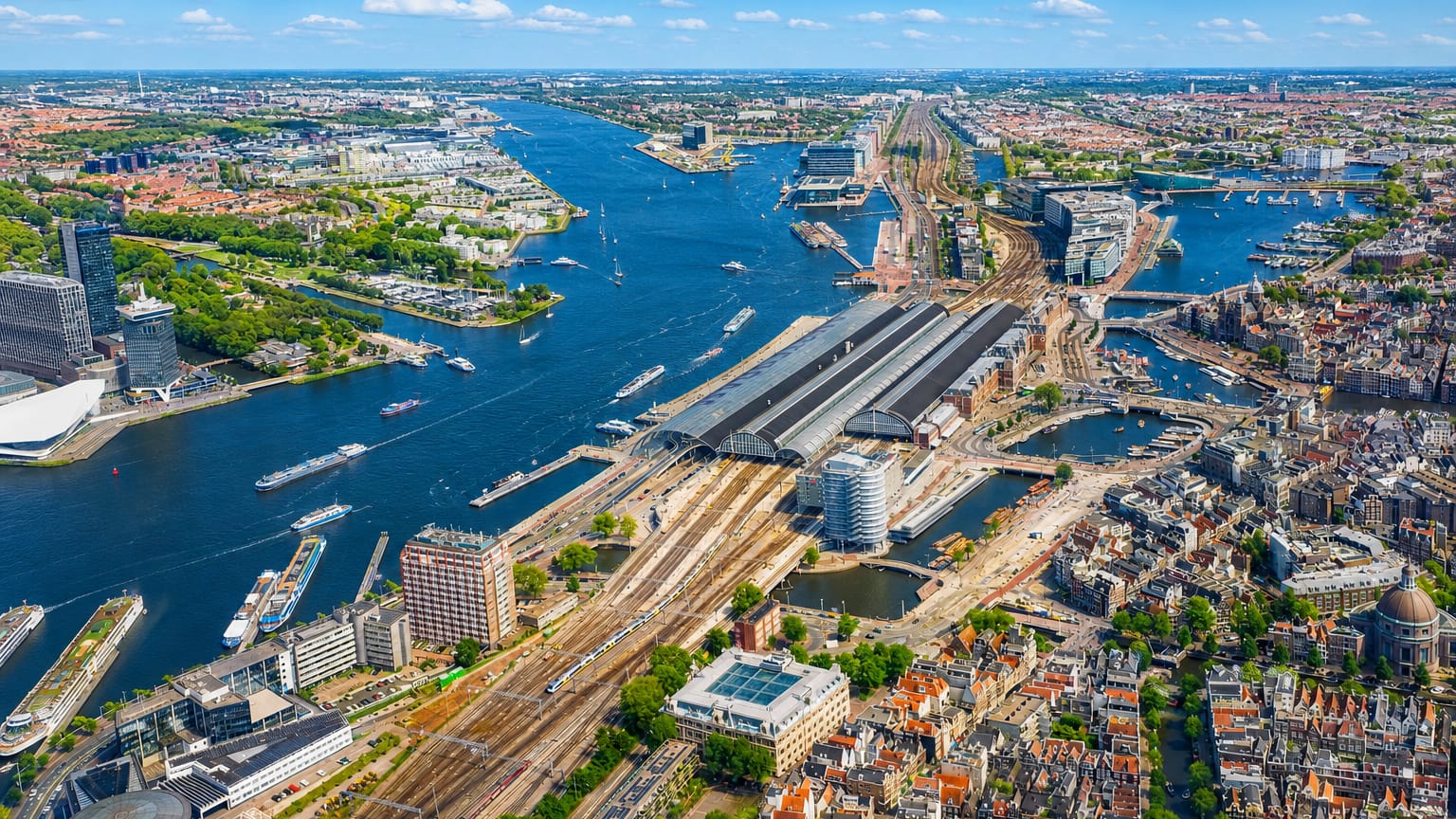
Aerial view of Amsterdam's Centraal Station and the IJ waterfront with canals and rooftops

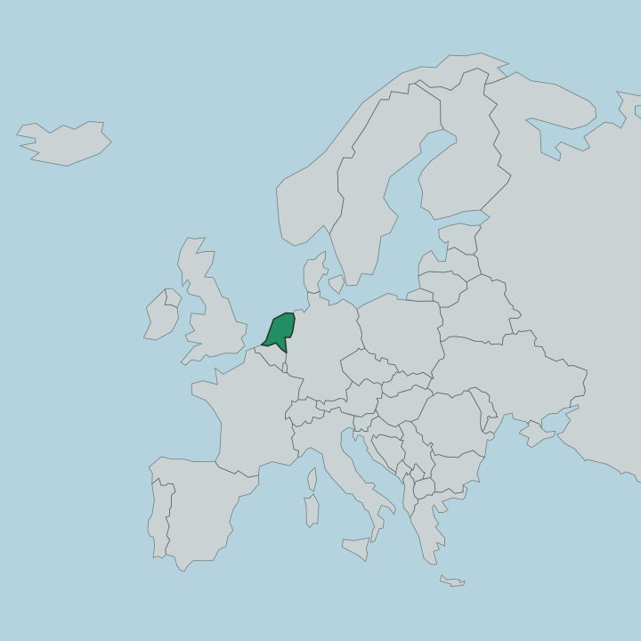
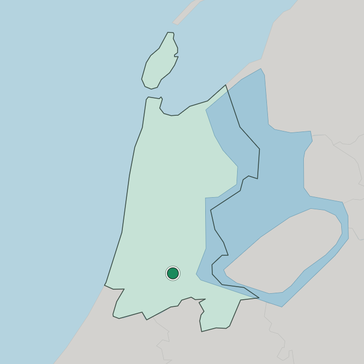
Netherlands · Provincie Noord-Holland

Where to Stay in Amsterdam, Provincie Noord-Holland

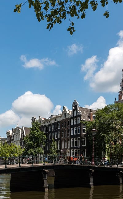
Amsterdam laces its centre with canals in Noord-Holland, the capital of the Netherlands, ringed by gabled houses and more than 1,500 bridges.

Find your area →
Where to stay in Amsterdam

Each area has its own feel; here's who each one suits.

Brick townhouses and a slender church tower above a cobbled street in Weesp, North Holland.AmsterdamNetherlands

Weesp

Weesp is a small historic town within Amsterdam.Where to stay →
Canal houses lining the Damrak waterway beside Amsterdam's De Wallen old-centre district.AmsterdamNetherlands

De Wallen

De Wallen is the oldest quarter of Amsterdam and the city's largest red-light district.Where to stay →
Aerial over Amsterdam-Zuidoost with the Johan Cruijff ArenA and the Bijlmer high-risesAmsterdamNetherlands

Amsterdam-Zuidoost

Amsterdam-Zuidoost is Amsterdam's southeastern borough, widely called the Bijlmer.Where to stay →
The A'DAM Tower on the IJ waterfront in Amsterdam-Noord, with the city skyline across the waterAmsterdamNetherlands

Amsterdam-Noord

Amsterdam-Noord is the borough of Amsterdam that sits across the water.Where to stay →
Zuidas high-rises and construction cranes above a canal in Amsterdam-ZuidAmsterdamNetherlands

Amsterdam-Zuid

Amsterdam-Zuid is the affluent southern borough of Amsterdam, the wealthiest of the city's stadsdelen and one of its most densely built.Where to stay →
Canal lined with gabled houses, houseboats and trees in Amsterdam's Jordaan, with boats passing.AmsterdamNetherlands

Jordaan

The Jordaan is a neighbourhood in the centre of Amsterdam, part of the Amsterdam-Centrum borough.Where to stay →
Amsterdam's IJ waterfront under a wide blue sky, with a star-topped riverside tower and dockside cranes.AmsterdamNetherlands

Amsterdam-West

Amsterdam-West is a borough on the far side of the Singelgracht from the Jordaan, just west of the old centre. It formed in 2010.Where to stay →
Aerial view of waterside housing blocks between canals and open water in Amsterdam-Oost.AmsterdamNetherlands

Amsterdam-Oost

Amsterdam-Oost is one of the eastern boroughs of Amsterdam, running from the Amstel River in the west to the IJ waterfront in the east.Where to stay →
Canal bridge lined with bicycles below gabled canal houses and a church spire in Amsterdam's Grachtengordel.AmsterdamNetherlandsthe canal ring, museums, and gabled houses

Grachtengordel

Beds inside the UNESCO canal ring put the concentric canals, the bridges, and the old red light district within a walk.Grachtengordel →
All neighbourhoods (17)
The Zuidas business district skyline in Amsterdam seen across a canal and lawnAmsterdamNetherlands

Zuidas

Zuidas is Amsterdam's business district, strung along the southern arc of the A10 ring road on the edge of the city. Locals call it the Financial Mile.Where to stay →
Aerial view of Amsterdam-Centrum's concentric canal ring, gabled rooftops and the IJ waterfront beyond.AmsterdamNetherlands

Amsterdam-Centrum

Amsterdam-Centrum is the central borough of Amsterdam, wrapping the medieval old town in the 17th-century canal ring known as the Grachtengordel.Where to stay →
Curving honeycomb apartment slabs of Bijlmermeer reflected in a landscaped canal in Amsterdam ZuidoostAmsterdamNetherlands

Bijlmermeer

Bijlmermeer is the largest residential neighborhood of Amsterdam-Zuidoost, the borough in Amsterdam's far southeast.Where to stay →
Brick apartment blocks along a quiet paved residential street in Amsterdam's Watergraafsmeer district.AmsterdamNetherlands

Watergraafsmeer

Watergraafsmeer is a polder district of Amsterdam, low ground where Frankendael House survives as the last of its country houses.Where to stay →
Brick terraced housing in Tuindorp Oostzaan, Amsterdam, with young street trees, hedges and an EV charger.AmsterdamNetherlands

Tuindorp Oostzaan

Tuindorp Oostzaan is a neighbourhood in Amsterdam-Noord, named after the adjacent village of Oostzaan and built with Amsterdamse School detail.Where to stay →
Aerial view of Amsterdam's Centraal Station and the IJ waterfront with canals and rooftopsAmsterdamNetherlands

Slotervaart

Slotervaart served as a district of Amsterdam, in the Netherlands, from 1990 until 2010, when it passed into the stadsdeel Nieuw-West.Where to stay →
Long post-war gallery-flat block and open lawns under a blue sky in Slotermeer, Amsterdam Nieuw-West.AmsterdamNetherlands

Slotermeer

Slotermeer is a neighbourhood of Amsterdam in the Dutch province of North Holland, named for the Slootermeer, a lake that once lay across this ground.Where to stay →
Curved blue-glass and dark office towers along a quiet street in Amsterdam's Sloterdijk business district.AmsterdamNetherlands

Sloterdijk

Sloterdijk was a North Holland village before Amsterdam took it in, and its Petruskerk still stands three kilometres from the city centre.Where to stay →

About Amsterdam

What is Amsterdam known for?

Amsterdam is known as the capital of the Netherlands and its largest city, a place of canals in Noord-Holland. The water made the city. Its concentric canal ring, a UNESCO World Heritage Site, curves through the old centre crossed by more than 1,500 bridges, and rows of gabled merchant houses line the water, while museums, galleries, and the old red light district draw crowds.

Amsterdam is called the Venice of the North.

What are the main landmarks in Amsterdam?

Amsterdam gathers its landmarks along the historic canal ring and the streets of the old centre. The canals are the great sight. Their concentric rings, a UNESCO World Heritage Site crossed by more than 1,500 bridges, curve through the centre past rows of gabled merchant houses, while the museums, galleries, and the old red light district cluster among the water of Amsterdam.

What is the history of Amsterdam?

Amsterdam grew from a dam on the Amstel into the capital of the Netherlands. The dam named the town. Around the year 1300 a fishing settlement took root where a dam held back the Amstel, and the name Amsterdam grew from that dam on the river, the town spreading along the water in Noord-Holland.

Trade lifted it. As merchant shipping filled its harbours the small port rose into a great trading city, digging the concentric canals that still ring its old centre. The canals made the modern city.

Engineers laid out the belt of waterways in rings around the medieval core, lined with gabled merchant houses and crossed by hundreds of bridges, a plan so distinctive it became a UNESCO World Heritage Site. The water held the shape. Behind the canal ring the old town kept its narrow lanes, its churches, and the quarter that became the red light district, while newer districts spread outward across Noord-Holland.

So a dam on the Amstel became the canal city and capital of the Netherlands.

Where is Amsterdam?

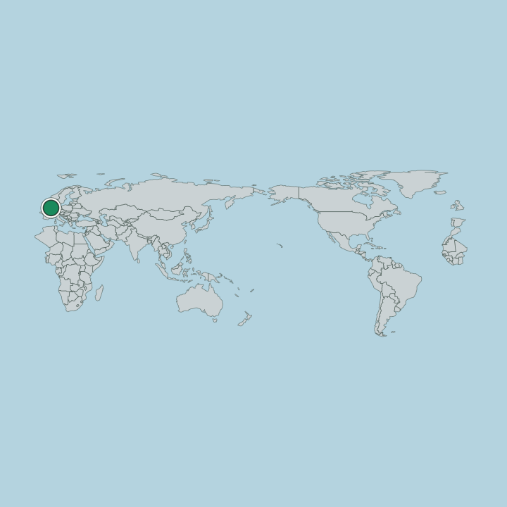
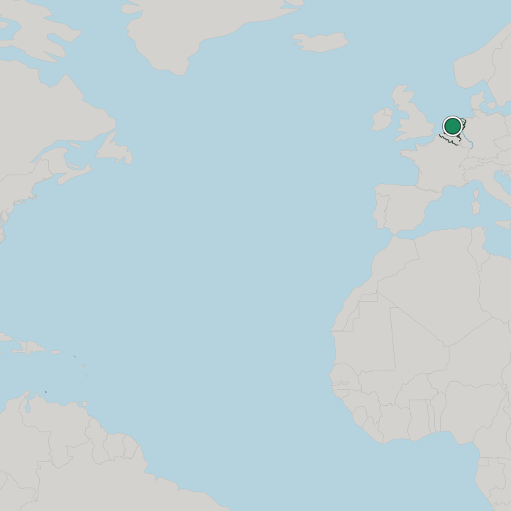
Amsterdam sits on the Amstel in Noord-Holland, in the low-lying Netherlands. The land lies below the sea. Its old centre wraps the river in concentric canals crossed by more than 1,500 bridges, the flat reclaimed ground of Noord-Holland stretching out from the canal ring across the delta plain of the Netherlands.

What is the climate of Amsterdam?

Amsterdam has a mild temperate climate, softened by the low, wet land around it. The sea steadies the seasons. Cool wet winters and mild summers cross the canal city, the damp North Sea air settling over the water and the flat ground of Noord-Holland in the Netherlands.

How do you get to Amsterdam?

Amsterdam is reached by air, rail, and road from across the Netherlands. The trains run constantly. Intercity lines converge on the central station beside the water, tying the city through Noord-Holland and out across the country, while a major airport serves the region and the canals and more than 1,500 bridges thread the old centre.

Common questions

What is the best area to stay in Amsterdam?

Grachtengordel: the canal ring, museums, and gabled houses.

Good for

More cities in Provincie Noord-Holland

Updated August 2026