Netherlands
Provincie Noord-Holland, Netherlands — Towns & Travel Guide


Noord-Holland is the Dutch province of Amsterdam and Haarlem, a peninsula of polders and dunes between the North Sea and the IJsselmeer.
Find your area →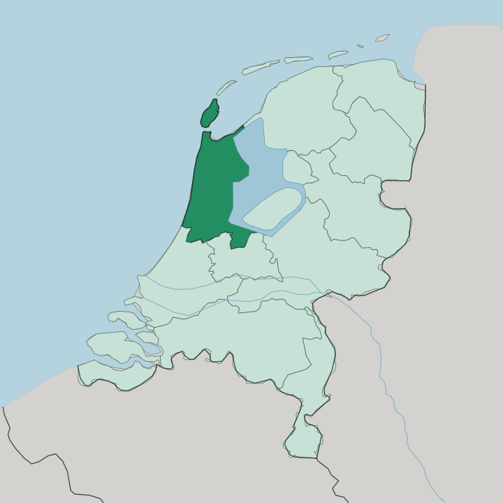
Towns & cities in Provincie Noord-Holland
Pick a town or city — each links to where to stay.
 Netherlands
Amsterdam
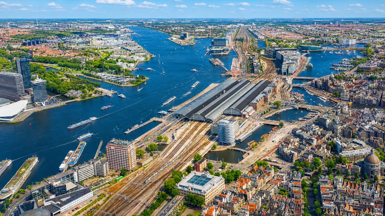
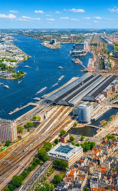
Amsterdam laces its centre with canals in Noord-Holland, the capital of the Netherlands, ringed by gabled houses and more than 1,500 bridges.Where to stay →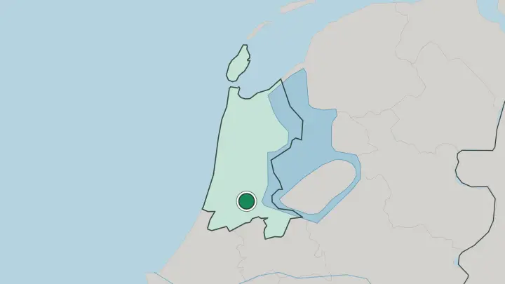
 Netherlands
Haarlem
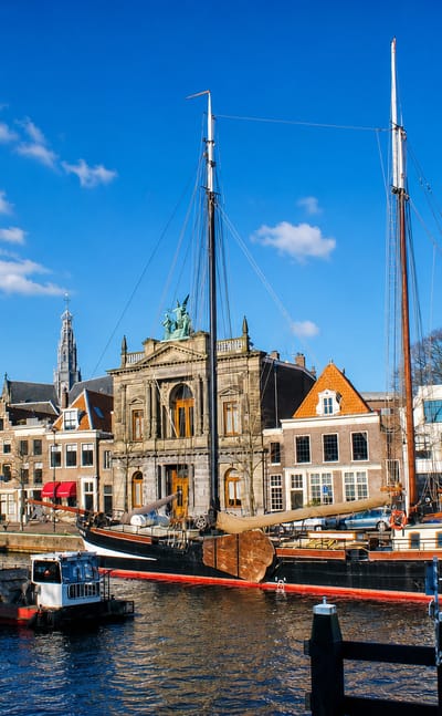
The Spaarne winds through the old centre of Haarlem, the capital of Noord-Holland near Amsterdam, known for the Grote Kerk and the painter Frans Hals.Where to stay →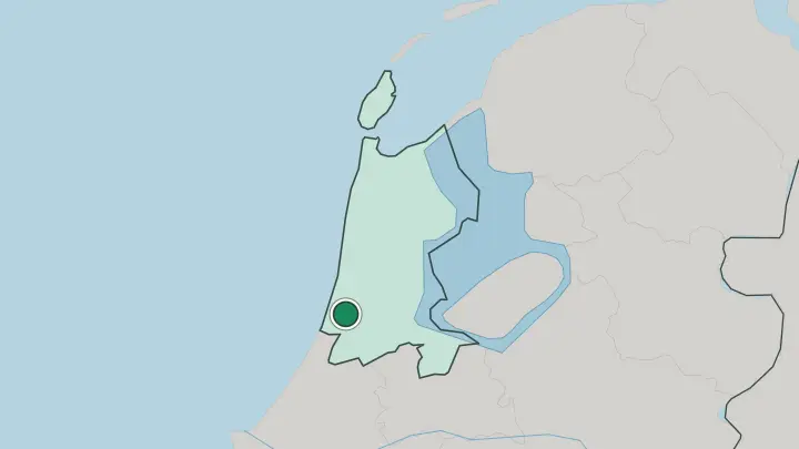
About Provincie Noord-Holland
Amsterdam anchors the province.
What is Provincie Noord-Holland known for?
The Dutch capital and its canals draw most visitors, and Amsterdam is also the largest city in the whole country. Haarlem, a shorter and quieter town just to the west, is the province's own administrative seat. Beyond the two cities the land is unmistakably Dutch: bulb fields, grazing polders below sea level, and windmills preserved at Zaanstad.
Alkmaar keeps its old cheese market going on the Waagplein, and the island of Texel closes the province off to the north.
Where is Provincie Noord-Holland?
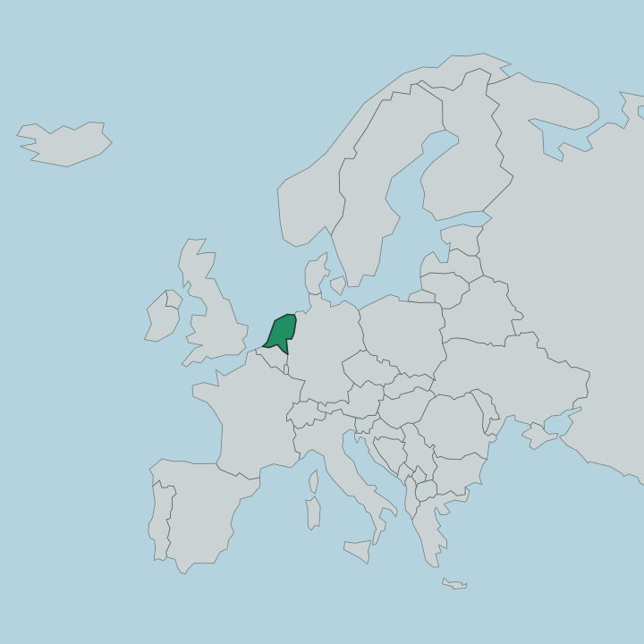
Noord-Holland fills the north-western corner of the Netherlands. For most of its length the province is a broad peninsula, water on nearly every side. The North Sea washes its whole western edge, a line of dunes and beaches running from the Wadden coast down past Zandvoort.
To the east the land meets fresh water instead of salt: the IJsselmeer and, below it, the Markermeer, two lakes penned in by dikes. The Wadden Sea laps the far north, and beyond it lies the island of Texel. South Holland and Utrecht border the province inland to the south.
More than half of Noord-Holland sits below sea level. This is reclaimed country. Broad polders drained over the centuries make up much of the interior, kept dry by pumps and ringed by dikes, and the old windmills at Zaanstad recall the wind power that once did the draining.
The North Sea Canal cuts clean across the province from Amsterdam west to the coast at IJmuiden, carrying seagoing ships to the capital's port. Haarlem stands between Amsterdam and the dunes. The whole province is low, flat, and shaped as much by engineers as by nature.
What is Provincie Noord-Holland like?
Amsterdam sets the tone. Its concentric canals, gabled merchant houses, and the great collections of the Rijksmuseum belong to the Dutch Golden Age, when the city's ships traded across the world. Haarlem grew wealthy in the same period, and the painter Frans Hals worked there; the museum that carries his name still hangs in the town.
Painting is close to the surface of this province. So is water, and the centuries-long fight to hold it back from the low fields that the dikes and pumps still keep dry. Older habits survive outside the cities.
Alkmaar has staged a cheese market on the Waagplein for centuries, carriers in white swinging their wooden sledges across the square before crowds who still come to watch. Zaanstad preserves a working street of green timber windmills beside the Zaan. In spring the bulb fields inland show off the tulips the country is famous for, and the dunes behind the North Sea shelter its cyclists and walkers.
Dutch is the everyday tongue here. English is widely spoken in Amsterdam and the tourist towns, so visitors rarely struggle, and between the capital's museums and the quiet of the polders the province holds two moods at once.
What is the history of Provincie Noord-Holland?
Noord-Holland was born in 1840, when the old province of Holland was split in two and the northern half took Haarlem as its capital. Its story runs far older than that line on the map. For centuries the eastern shore faced the Zuiderzee, an open arm of the sea that flooded the low land whenever a storm drove water in from the north.
That threat ended in 1932. The Afsluitdijk sealed the Zuiderzee off from the sea and turned it into the fresh-water IJsselmeer, and the drained polders that followed remade the map of the province.
What is the climate of Provincie Noord-Holland?
The North Sea rules the weather here. Noord-Holland has a temperate maritime climate, with mild winters, cool summers, and rain spread thinly through every month of the year. Sea winds off the coast keep the air changeable, so a bright morning can cloud over by noon.
The dunes and open polders give the wind a clear run, which is why the province built windmills in the first place. Hard frost and real heat are both rare.
How do you get to Provincie Noord-Holland?
Most travellers land at Schiphol. Amsterdam Airport Schiphol, on the drained bed of the Haarlemmermeer just south-west of the city, is the main way into the province and one of the busiest airports in Europe. Trains run from the airport into Amsterdam in minutes and on to Haarlem, Alkmaar, and Den Helder for the Texel ferry.
From the capital the North Sea Canal carries shipping out to the coast. Roads and a dense rail network tie the polders, the dune coast, and the cities together.
Common questions
What is the best area to stay in Provincie Noord-Holland?
Amsterdam: a first base with the Rijksmuseum and canals at the door. Haarlem: old-town evenings within reach of the capital.
Good for
Updated July 2026