Netherlands · Provincie Zuid-Holland · The Hague
Escamp, The Hague — Area Guide & Where to Stay
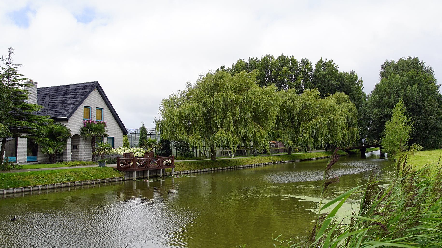
Escamp is the southwest district of The Hague, out to the Westland and Wateringen, its landmarks the Shalomkerk, Emmauskerk and Sint-Jan de Doperkerk.
Hotel links are affiliate links: booking through them may earn us a commission, at no extra cost to you. It never affects how places are ranked. How this works


Map data © OpenStreetMap contributors
Where to stay in Escamp
How the choice of base plays out on the ground.
Escamp is a district to live in rather than one built for visitors. The estates hold few hotels. Travellers who base themselves in the southwest trade the sights for quiet streets and quick tram links into the centre of The Hague.
The nearest landmarks are parish churches, the Emmauskerk, the Onze-Lieve-Vrouw Hemelvaartkerk and the Sint-Pauluskerk, not museums or nightlife. On a first visit the historic core, or the seafront district of Scheveningen, makes a more natural base than these residential blocks.
Things to do in and around The Hague
Ranked by global recognition; descriptions from Wikidata (CC0).
Museums & Galleries
1- Loosduins Museum
Churches & Religious Sites
8- Kerk van Eikenduinen Heritage
- Julianakerk, Transvaalkwartier, The Hague Heritage
- Emmauskerk Heritage
- Onze-Lieve-Vrouw Hemelvaartkerk Heritage
- Sint-Jan de Doperkerk Heritage
Show 3 more →
- Hofboerderij Heritage
- Thomaskerk Heritage
- Nederlands Hervormde Kerk, Wateringen Heritage
Castles & Historic Sites
2- Khojaly Massacre Memorial
- Yi Jun cenotaph
Landmarks & Notable Places
3- Oud Rosenburg Heritage
- Holle Watering 26 Heritage
- Oude Haagweg 725 Heritage
worth knowingacross 4 categories in and around The Hague
About Escamp
What are the main landmarks in Escamp?
Escamp counts most of its landmarks in steeples. Parish churches stand across its neighbourhoods, the Shalomkerk, the Theresia van Lisieuxkerk, the Thomaskerk and the Sint-Jan de Doperkerk among them. The oldest sights lie at the fringes.
Just west, in Loosduinen, the medieval Loosduinen Abbey church and the old farmstead of the Hofboerderij sit near the small Loosduins Museum, while the ruined Kerk van Eikenduinen marks the northern edge. The Julianakerk rises one quarter over in the Transvaalkwartier, and Avonturia, a covered hall of birds and pets, pulls families toward Loosduinen.
What is the history of Escamp?
Before the twentieth century the ground under Escamp was open polder and market garden at the southern edge of The Hague. The city grew outward across it as demand for housing pushed past the old centre, and the district filled with the streets and parish churches that define it. Older foundations survived at the margins.
The churchyard of Eikenduinen kept its medieval church, later left as a ruin, and the abbey at Loosduinen anchored a settlement that predated the surrounding suburbs by centuries. The many steeples, the Emmauskerk and the Sint-Pauluskerk among them, trace how each new neighbourhood was given its own parish as it was built.
Where is Escamp?
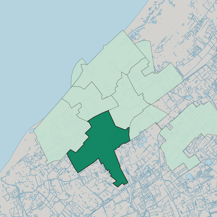
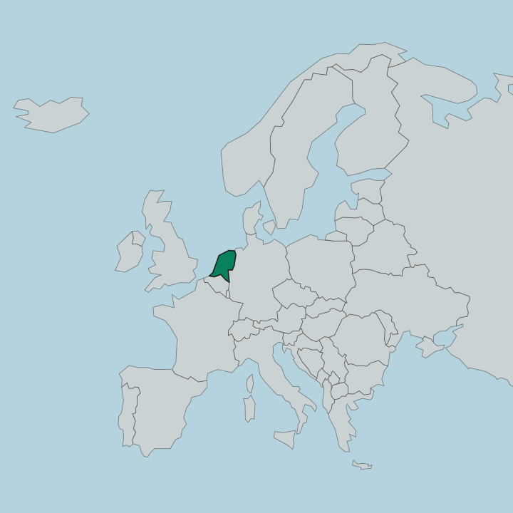
Escamp occupies the southwest of The Hague, ringed by other districts of the city. Loosduinen lies to the west and the Transvaalkwartier to the north, while the market gardens of Wateringen and the wider Westland close off its southern side. A medieval churchyard marks the northwestern corner.
There the Kerk van Eikenduinen still stands as a ruin, screened by trees at the old burial ground of Eikenduinen.
Good for
More areas in The Hague
Updated October 2026