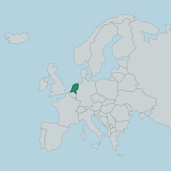
Netherlands · Provincie Zuid-Holland · The Hague
Leidschenveen-Ypenburg, The Hague — Area Guide & Where to Stay


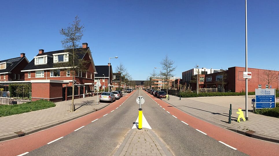
Leidschenveen-Ypenburg is the southeastern district of The Hague, built almost entirely as new housing since 2002. It gathers four modern quarters, Ypenburg, Leidschenveen, Hoornwijk and Forepark, on farmland and airfield ground the city annexed to grow outward. Ypenburg itself rose on a former military airfield. The Dynamite Express roller coaster at the Drievliet family park sits at its edge, a rare draw in an area otherwise given over to family homes.
About Leidschenveen-Ypenburg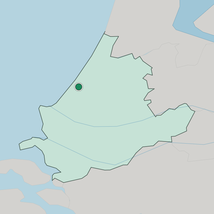
Where to stay in Leidschenveen-Ypenburg
Where you base yourself shapes the visit — here's the character of each area.
Most visitors sleep in central The Hague rather than here, because Leidschenveen-Ypenburg is a place to live and work, not a hotel quarter. Beds are scarce. The handful that exist cluster near the A12 and the Forepark business park, handy for drivers, trade-fair guests and anyone wanting a quiet base with parking.
Families can reach the Dynamite Express roller coaster at the Drievliet family park in minutes. For museums and the coast, trams run to the old centre and on to Scheveningen.
About Leidschenveen-Ypenburg
What are the main landmarks in Leidschenveen-Ypenburg?
Its own set-pieces are modern or buried. Excavations at Ypenburg uncovered a Stone Age burial ground, one of the oldest traces of settlement in the region, while the Dynamite Express roller coaster runs its mineshaft circuit at the Drievliet family park. Most of the older sights sit just over the boundary in Voorburg and Leidschendam.
Chief among them is Huygensmuseum Hofwijck, the riverside villa the poet Constantijn Huygens built on the Vliet, near the Oude Kerk and the Martinuskerk. The Stadsmuseum Leidschendam-Voorburg and the Stadhuis Leidschendam-Voorburg round out the neighbouring core.
What is the history of Leidschenveen-Ypenburg?
Long before the streets arrived, Stone Age settlers left a burial ground on the land that became Ypenburg. For centuries afterward the ground stayed wet farm and polder on the edge of The Hague. An airfield opened at Ypenburg in 1936 and became a battlefield on 10 May 1940, when German airborne troops seized it during the invasion of the Netherlands; the Royal Netherlands Air Force later flew from the same runways until 1992.
Housing replaced the airfield from 1997 onward. In 2002 the whole area passed from its rural municipalities into The Hague and took the name Leidschenveen-Ypenburg.
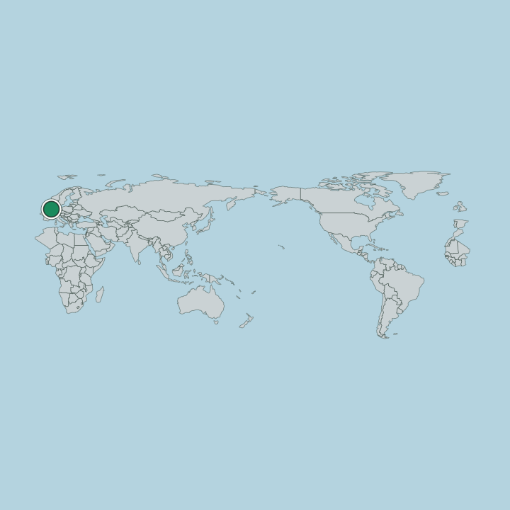
Where is Leidschenveen-Ypenburg?
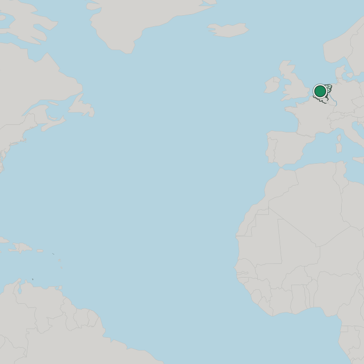
The district occupies The Hague's far southeastern corner, held apart from the older city and pressed against Leidschendam-Voorburg and Rijswijk. Its spine is the A12 motorway and the parallel railway to Utrecht, which split the area in two: Hoornwijk and Ypenburg to the southwest, Forepark and Leidschenveen to the northeast. Along its northern flank runs the Vliet, the canal that carries on toward Voorburg.
Green buffers and water separate one quarter from the next.
Good for
More areas in The Hague
Updated July 2026