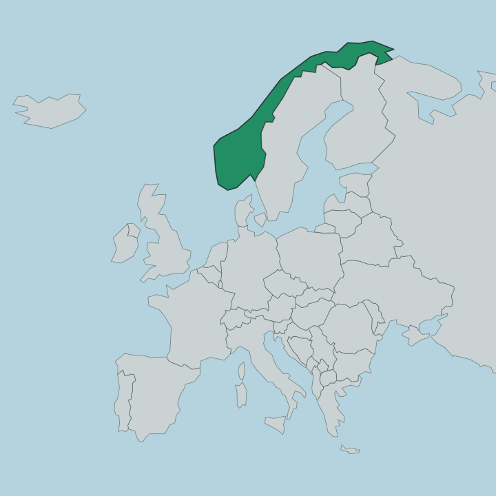
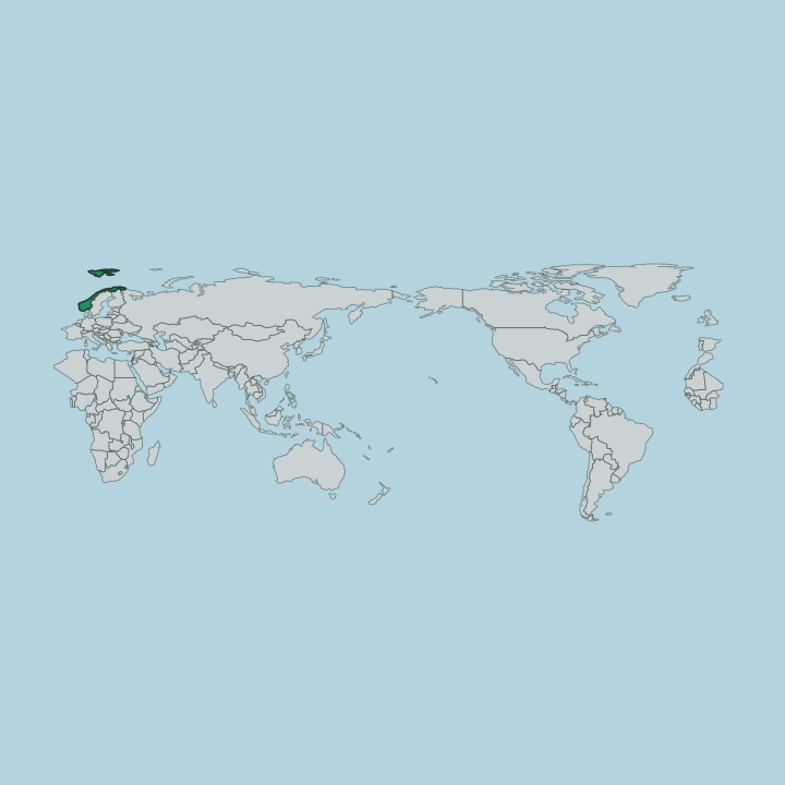
Norway
Buskerud (fylke), Norway — Towns & Travel Guide


Buskerud is a county in south-eastern Norway, reaching from the Oslofjord to the Hardangervidda, with Drammen as its centre.
Find your area →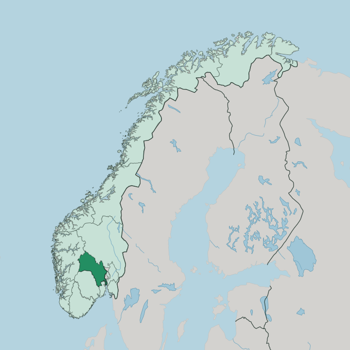
Towns & cities in Buskerud
Pick a town or city — each links to where to stay.

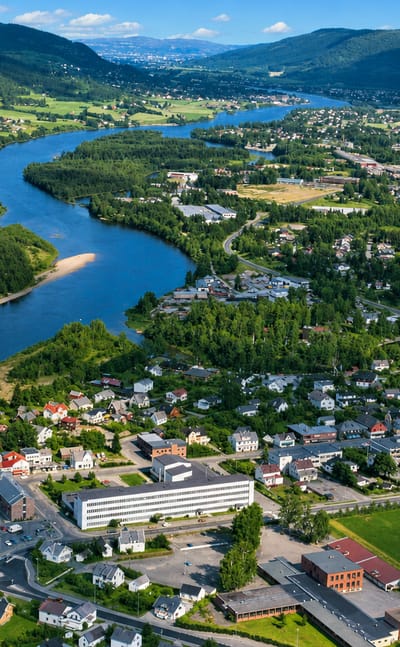
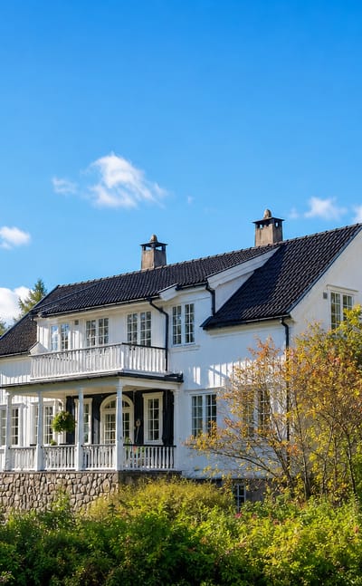
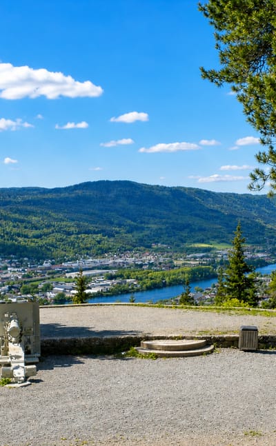
Drammen
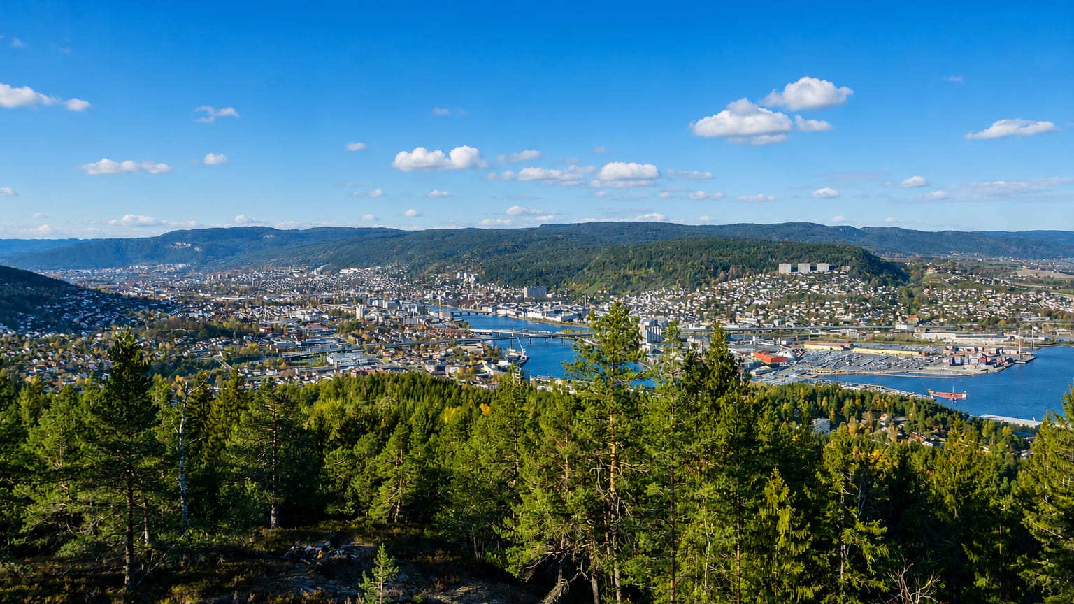
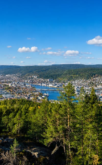
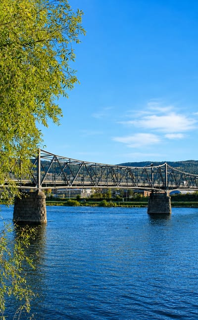
Drammen is a river city on the Drammenselva, the south-eastern part of Buskerud, in south-eastern Norway.Where to stay →

Kongsberg
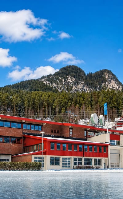
Kongsberg is an old silver-mining town on the Numedalslågen, in the southern part of Buskerud, in south-eastern Norway.Where to stay →

Hønefoss
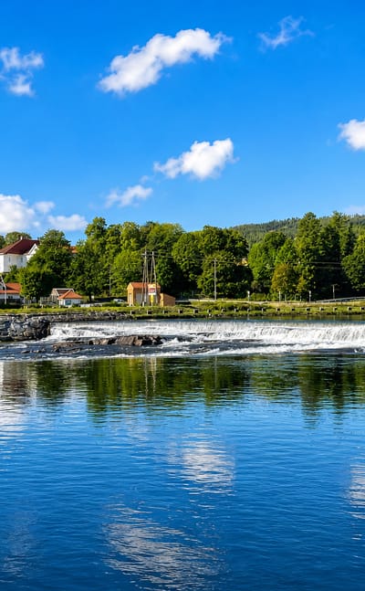
Hønefoss is a falls town and the centre of Ringerike, in the south-eastern part of Buskerud, in south-eastern Norway.Where to stay →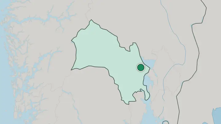
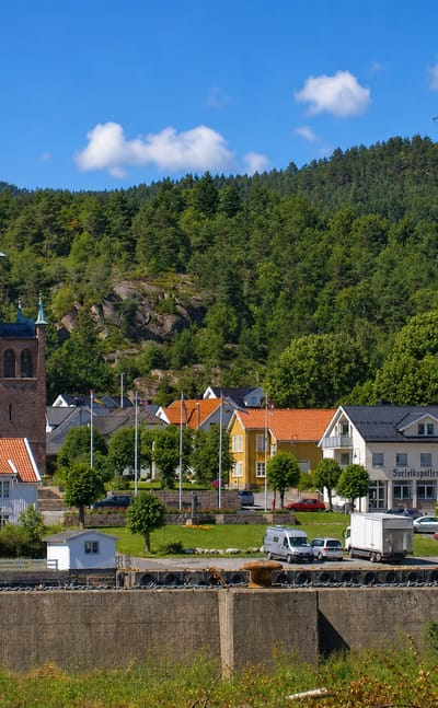

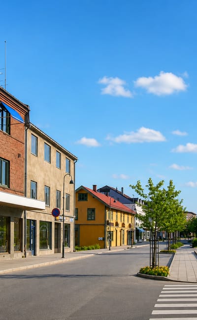
Svelvik
Svelvik is a fjord town on the narrows of the Drammensfjord, the south-eastern part of Buskerud, in south-eastern Norway.Where to stay →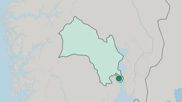

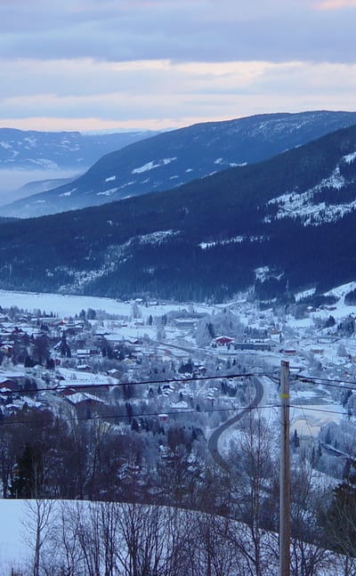
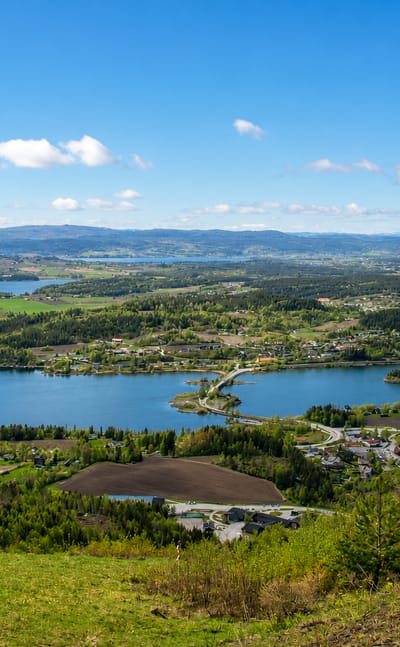
Vikersund
Vikersund is a town in Modum, in south-eastern Norway, known for the Blaafarveværket cobalt works and the Krøderbanen heritage railway.Where to stay →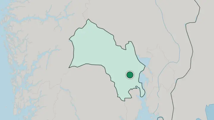

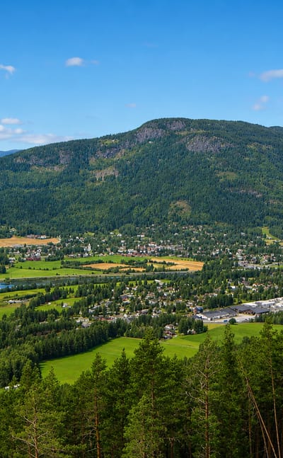
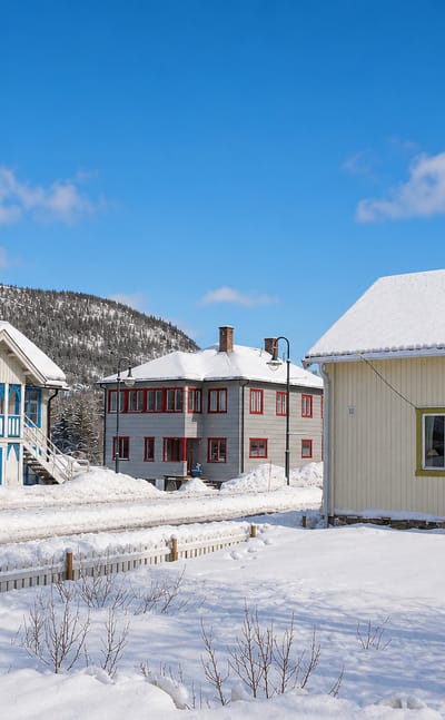
Gol
Gol is a town and municipality in Buskerud, in south-eastern Norway, set in the high country of the region's north-western reach.Where to stay →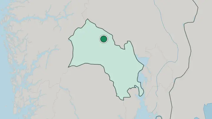

Geilo
Geilo is a mountain town in Hol, in the western part of Buskerud, in the high country of south-eastern Norway.Where to stay →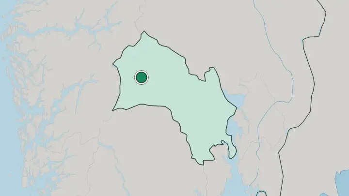

Ål
Ål is a town and municipality in Hallingdal, in the north-western part of Buskerud, in south-eastern Norway.Where to stay →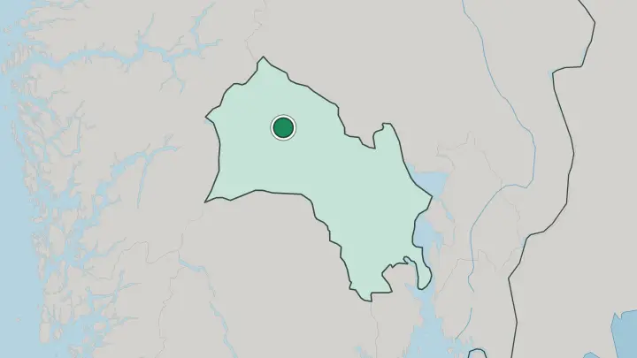
All towns & cities (22)

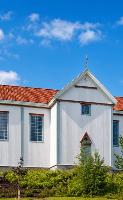
Nesbyen
Nesbyen is a town and municipality in the western part of Buskerud, in south-eastern Norway, in the Hallingdal valley.Where to stay →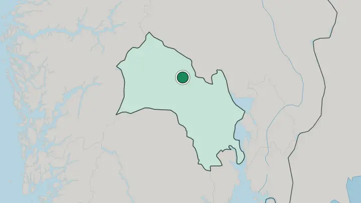

Hemsedal
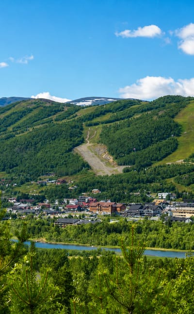
Hemsedal is a mountain valley and ski town in Hallingdal, in the north-western part of Buskerud, in south-eastern Norway.Where to stay →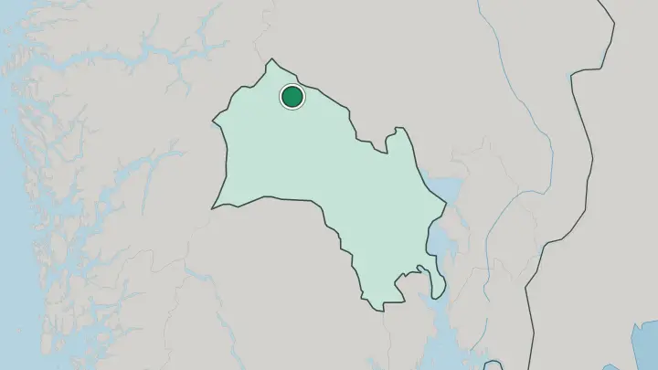

Prestfoss
Prestfoss is a small village in Sigdal, the seat of its municipality in the southern part of Buskerud, in south-eastern Norway.Where to stay →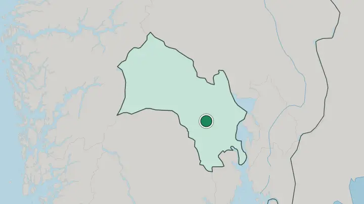

Noresund
Noresund is a lakeside village in Krødsherad on Lake Krøderen, in the southern part of Buskerud, in south-eastern Norway.Where to stay →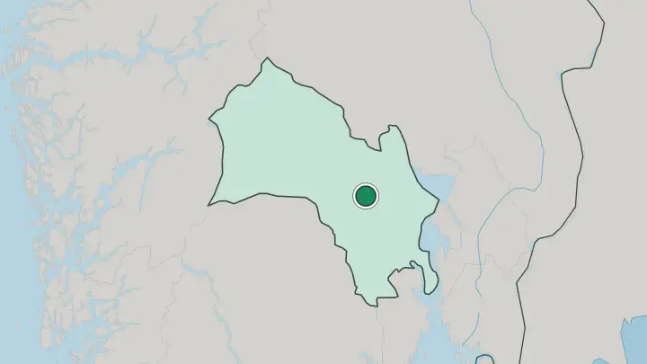
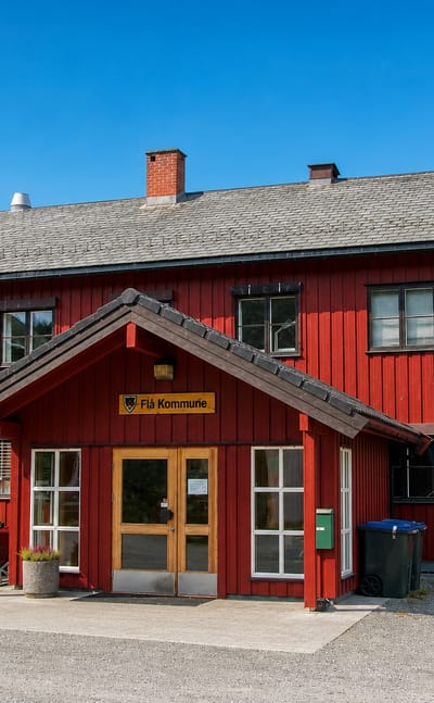

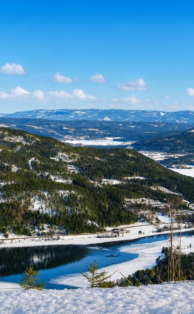
Flå
Flå is a small valley municipality in the northern part of Buskerud, in south-eastern Norway (Østlandet).Where to stay →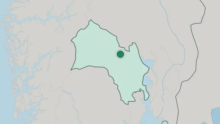

Hokksund
Hokksund is a market town and the seat of Øvre Eiker, in the south-eastern part of Buskerud, in south-eastern Norway.Where to stay →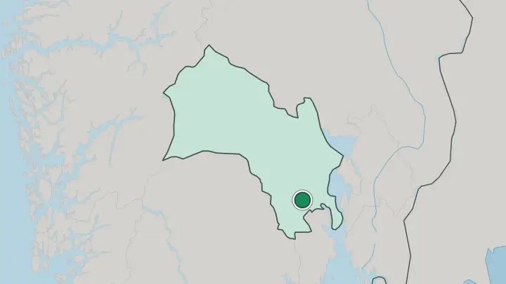

Hol
Hol is the seat of its municipality in the western part of Buskerud, in south-eastern Norway (Østlandet).Where to stay →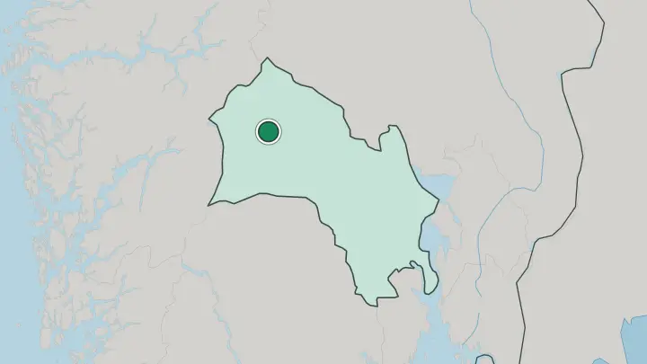

Lampeland
Lampeland is the centre of Flesberg municipality in the southern part of Buskerud, in south-eastern Norway.Where to stay →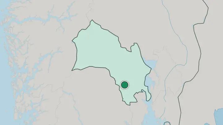

Lierbyen
Lierbyen is the centre of Lier municipality in the south-eastern part of Buskerud, in south-eastern Norway.Where to stay →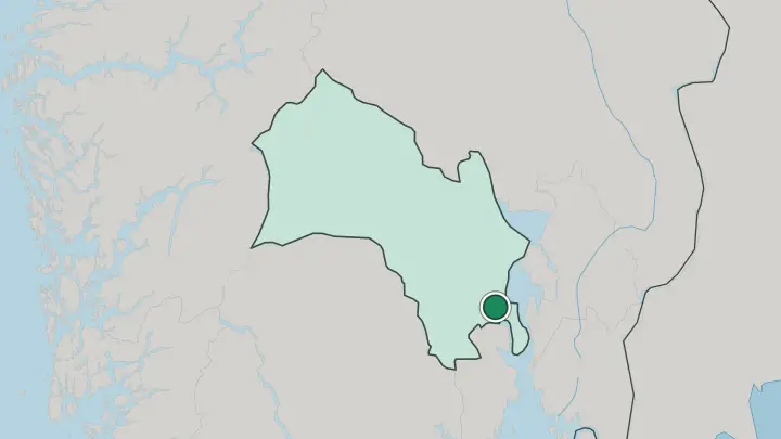

Mjøndalen
Mjøndalen is a riverside town on the Drammenselva in Drammen municipality, in south-eastern Norway.Where to stay →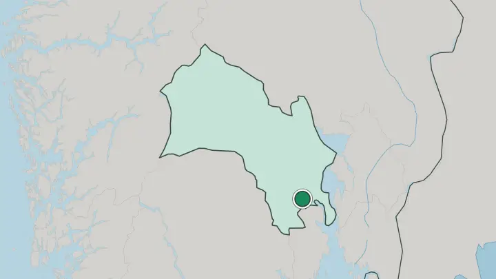

Rollag
Rollag is a valley municipality in Numedal, in the southern part of Buskerud, in south-eastern Norway.Where to stay →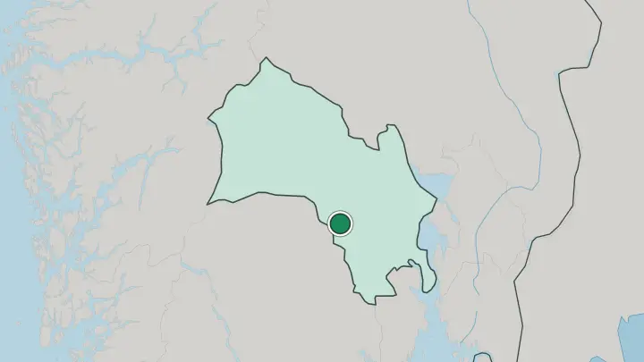


Rødberg
Rødberg is the centre of Nore og Uvdal municipality in the south-western part of Buskerud, in Norway.Where to stay →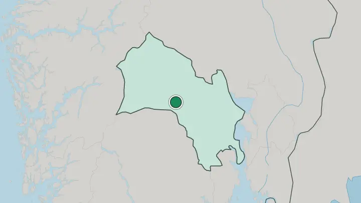

Trøim
Trøim is a village in the north-western part of Buskerud, in south-eastern Norway (Østlandet).Where to stay →

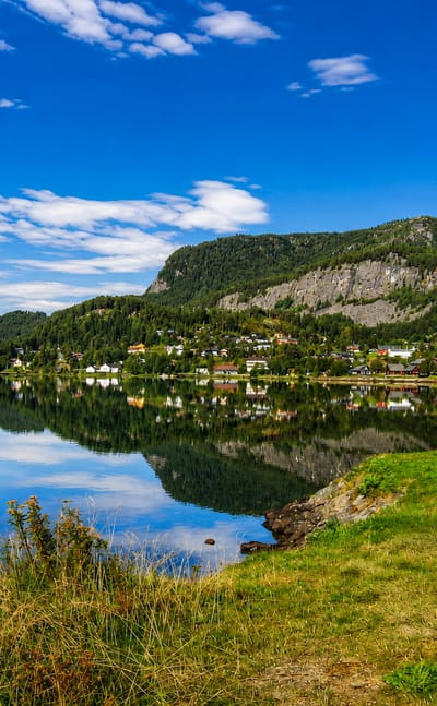
Vik
Vik is the centre of Hole municipality in Buskerud, in south-eastern Norway (Østlandet).Where to stay →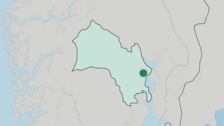
About Buskerud
What is Buskerud known for?
Mountains define Buskerud's far end. The county runs from the lowland around the Oslofjord and the Drammensfjord up into the high Hardangervidda plateau in the northwest, gathering both city and mountain in one long sweep. Drammen serves as the administrative centre near the fjord.
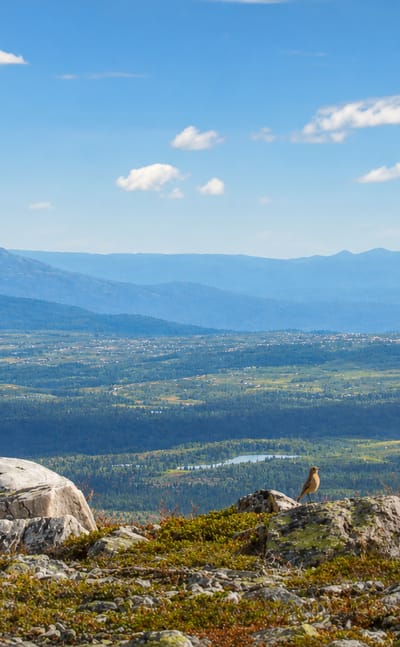
The mountain villages of Geilo, Gol, and Hemsedal draw visitors to the highlands. Fjord to plateau, in one county.
Where is Buskerud?
Buskerud stretches across south-eastern Norway from sea level to high plateau, one of the country's most varied counties in profile. The land climbs the whole way. From the Oslofjord and the Drammensfjord in the southeast the ground rises steadily northwest through forested valleys and lakes until it reaches the bare, treeless expanse of the Hardangervidda, the great mountain plateau that forms the county's far edge.
Lowland and highland in one long gradient. The towns sit mostly in the lower, milder southeast. Drammen lies at the head of its fjord, with Kongsberg and Hønefoss inland along the river valleys that carry the county toward the mountains.
Northwest, the highland villages of Gol, Ål, Nesbyen, Geilo, and Hemsedal cluster in the valleys below the Hardangervidda. The county borders Oslo and Akershus to the east and reaches toward Vestland over the mountains. Fjord, valley, and high plateau together make the geography of Buskerud.
What is Buskerud like?
Two worlds meet in this county. The culture of Buskerud spans the lowland life of the fjord-side towns and the mountain traditions of the highland valleys, a span from the trading and industrial heritage near the Oslofjord up to the farming and the old stave-church country of the upper valleys below the Hardangervidda. Town craft below, mountain custom above.
Drammen and the lower towns carry the county's urban culture. Kongsberg holds an old silver-mining heritage, while Hønefoss grew on its river and timber. Up the valleys, Gol, Ål, Nesbyen, and Geilo keep the highland traditions of folk craft, wooden churches, and mountain farming that mark the upper country, and Hemsedal carries the mountain-village life of the slopes.
Between fjord-side town and high valley, Buskerud holds a culture that climbs with the land.
What is the history of Buskerud?
Buskerud has stood as a county since 1919. Trade and industry built the lower towns near the Oslofjord, with Drammen growing as a timber port and Kongsberg rising on its silver mines inland. Hønefoss developed around its river falls.
The upper valleys toward the Hardangervidda kept an older farming and stave-church heritage, the highland communities of Gol, Ål, and Nesbyen living by mountain agriculture and the routes across the plateau. Lowland industry and highland farm shaped the county's long history together.
What is the climate of Buskerud?
Climate here changes with height. The lowland around Drammen and the Oslofjord enjoys mild, settled weather typical of south-eastern Norway, with warm summers and moderate winters near the water. The mountains tell another story.
Up toward the Hardangervidda the highland villages of Geilo, Gol, and Hemsedal lie under long and snowy winters that hold deep into spring and feed the mountain slopes, while the inland valleys around Kongsberg and Hønefoss fall somewhere between the two. Altitude rules the seasons across the county.
How do you get to Buskerud?
Drammen is the lowland gateway. The county's centre sits close to the Oslofjord on the main rail and road routes west from the Oslo area, making it the easiest point of arrival near the coast. From there the Bergen railway climbs the valleys northwest.
Trains carry on through Hønefoss, Gol, Ål, Nesbyen, and Geilo toward the Hardangervidda and the mountain crossing to Vestland. Kongsberg sits on its own line southwest, and Hemsedal draws drivers up the mountain roads.
Common questions
What is the best area to stay in Buskerud?
Drammen: first-timers wanting a fjord-side city base.
Good for
Updated July 2026