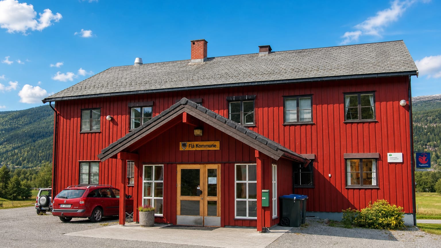
Norway · Buskerud
Where to Stay in Flå, Buskerud


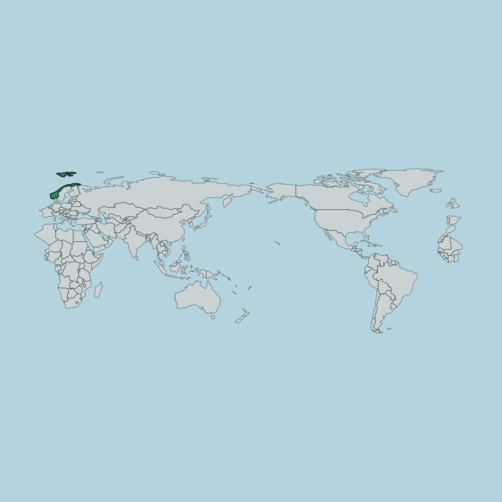
Flå is a small valley municipality in the northern part of Buskerud, in south-eastern Norway (Østlandet).
Find your area →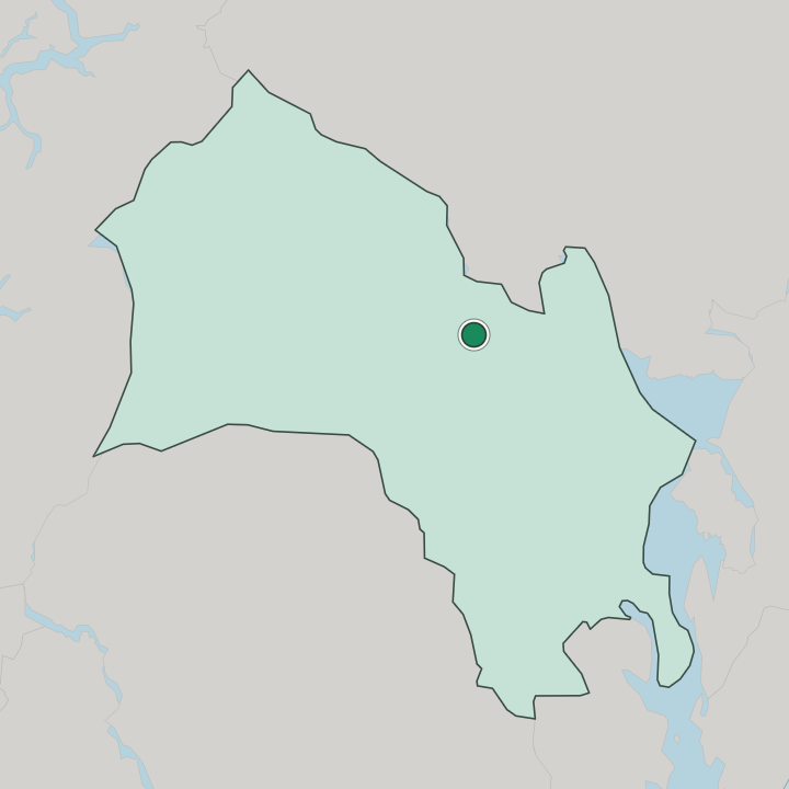
Where to stay in Flå
Not every neighbourhood fits every trip — here's what each one is good for.
Beds in Flå are few, the way of a small valley municipality, and most rooms gather in and around the village of Flå near Flå kirke where guest rooms and cabins stand close to the shops and the road through the valley. The centre suits travellers passing through or pausing in the northern part of Buskerud. It is a modest base.
Out along the valley road and the side valleys, cabins and holiday houses spread thin among the forests and the slopes, handy for walkers and skiers who come for the quiet high country of this corner of Buskerud. These fill in the seasons. Further off, scattered farm stays and mountain cabins stand among the farms of the district, a thin and quiet stock for visitors touring Flå and the northern valleys by car.
Reserve ahead in summer and winter, when the cabins of this rural municipality in south-eastern Norway draw walkers and skiers to the valley.
About Flå
What is Flå known for?
Flå is a small valley municipality in the northern part of Buskerud. The village of Flå is its centre, gathering the offices and shops of a thinly settled district among the forests and slopes. Flå kirke marks the parish.
The wooden church stands at the heart of the settlement and gives the valley its fixed point, the chief built sight of a quiet rural municipality in this northern reach of Buskerud, in south-eastern Norway.
What are the main landmarks in Flå?
Flå kirke is the landmark of the municipality. A protected wooden church, it stands at the centre of the village of Flå and serves the parish of a thinly settled valley district. The church is the chief sight.
It gives the small settlement its fixed point among the forests and slopes, the gathering place of a quiet rural municipality in the northern part of Buskerud, in south-eastern Norway.
What is the history of Flå?
Flå grew as a chain of farms in a northern valley of Buskerud. Settlement followed the valley floor and the lower slopes, the people working the land and the forest as the parish gathered around its church, and the district took shape slowly in this thinly peopled corner of the country. Farming made the living.
Timber and the land carried Flå through the long centuries before the roads improved and the valley opened to the wider world. The wooden Flå kirke fixed the parish at the heart of the settlement, the place where the scattered farms met for worship and trade. The village around it grew.
As the years passed, the village of Flå became the centre of the municipality, gathering the offices and the shops of the valley, and the district settled into its role as a small rural municipality of forest and slope in the northern part of Buskerud.
Where is Flå?
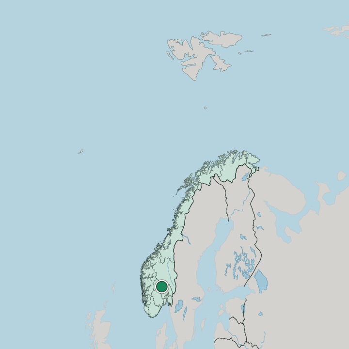
Flå lies in a valley in the northern part of Buskerud, in south-eastern Norway (Østlandet). The village sits on the valley floor among the forests and the rising slopes, the small core gathered near Flå kirke and the road through the valley. Forest and mountain frame the place.
The municipality of Flå reaches up the side valleys and over the high ground, a thinly settled land of woods, water and slope in this northern reach of Buskerud.
What is the climate of Flå?
Flå has a cold inland climate of the northern valleys of Buskerud. Winters run long and snowy, the frost settling hard on the valley floor and the snow lying deep over the forests and the slopes through the dark months, drawing skiers to the high country. Summers stay short and green.
The valley warms quickly under the long northern daylight, the woods and water around Flå drawing walkers in the brief warm season, while the surrounding mountains keep the air cool and the nights fresh in this corner of south-eastern Norway.
How do you get to Flå?
Flå is reached by the road and rail running up the valley. The route carries travellers from the larger towns of Buskerud to the south-east, climbing through the forests toward the high country and bringing visitors to the village near Flå kirke. Most travellers come up by car.
The valley road and the line gather at the small centre and carry on north through the mountains of Buskerud, while the wider airports of south-eastern Norway lie off to the south-east for those reaching Flå from further away.
Good for
More cities in Buskerud
Updated July 2026